|
The Devil's Slide Trail opened in March of 2014, and I'd been meaning to
visit it since then. I finally found the time to do so on the first day
of 2015. The trail is a short (just over 1 mile) paved multi-use trail
open to hikers, cyclists, and equestrians. It is built on the remnants
of the old portion of Highway 1 that was used before the completion of
the nearby tunnel.
When we arrived in the afternoon, the northern parking lot was completely
full, and cars were circling, waiting for a spot to open up. We drove
through the tunnel to reach the southern parking lot, which is slightly
larger but was also full. We settled in to wait a couple minutes until someone left,
freeing up a spot for us. While it can be annoying trying to find parking,
at least it is free (for now). If you don't want to deal with the parking
hassle, the city of Pacifica currently operates a free weekend shuttle.
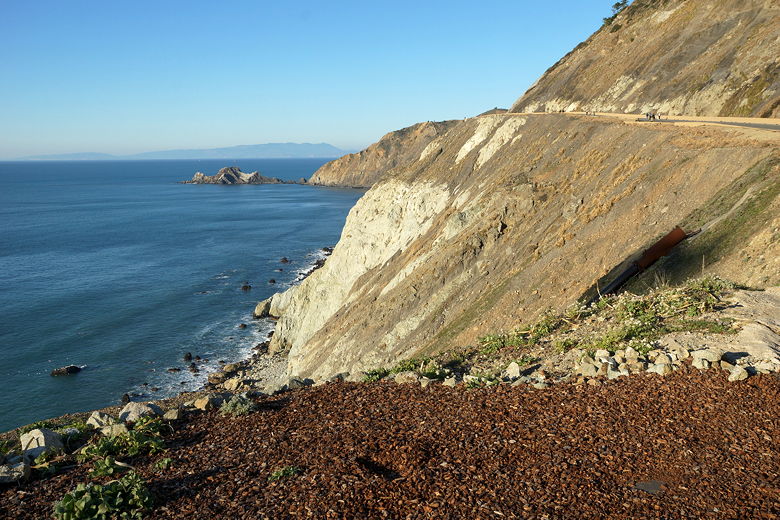
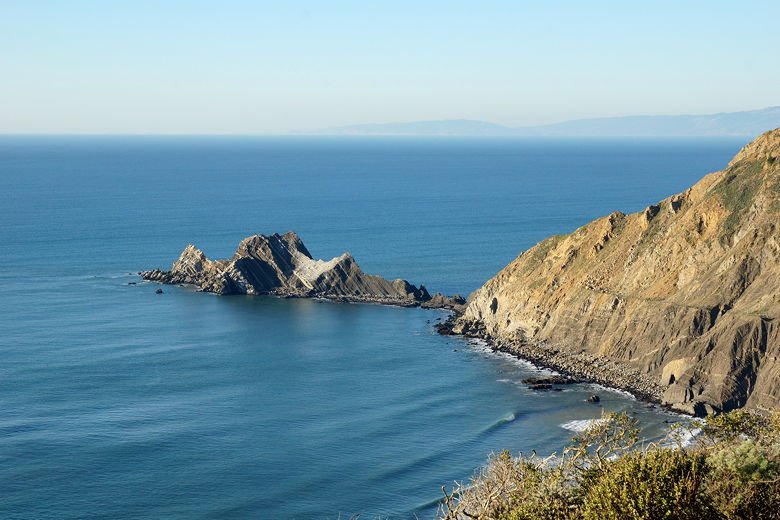
View from the south parking lot
View from the south parking lot
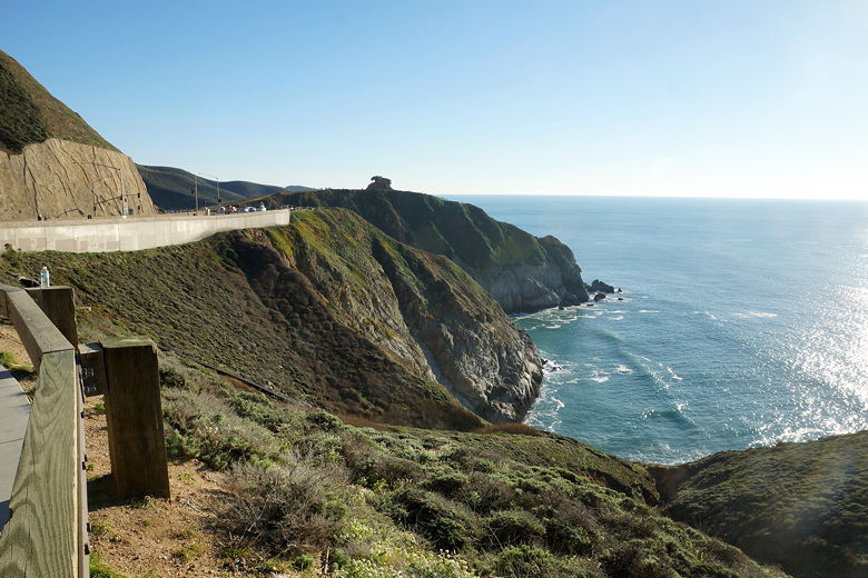
We took in some nice views of the Pacific Ocean from the parking lot before
starting up the trail. The trail climbs steadily, steep rocky walls on the right
and a steep drop-off to the ocean on the left. If you want privacy, you've come to
the wrong place, as it's a popular place. Because of the short length of the trail, I'm guessing you
probably won't see many cyclists or equestrians: We only saw one small group of cyclists
(two kids and their dad), and no equestrians. But you will find lots of people
walking in either direction, enjoying the views.
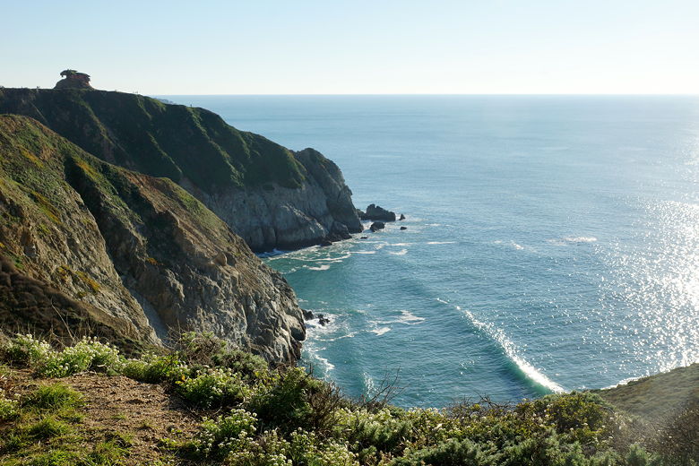
View looking south along the trail
Looking north along the trail
View to the north
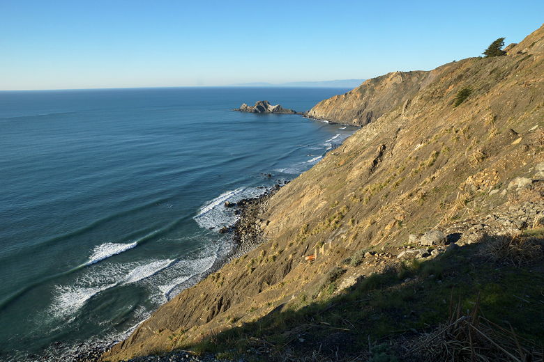
View to the north
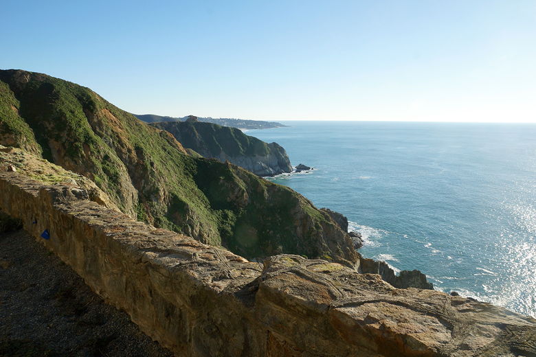
After climbing a bit, the grade kicks up to about 9% in one place. In a couple
spots there are a set of benches and some pay telescopes. After the largest of
these areas, the trail descends down to the northern parking lot. We stopped
there briefly before turning around and returning the way we came.
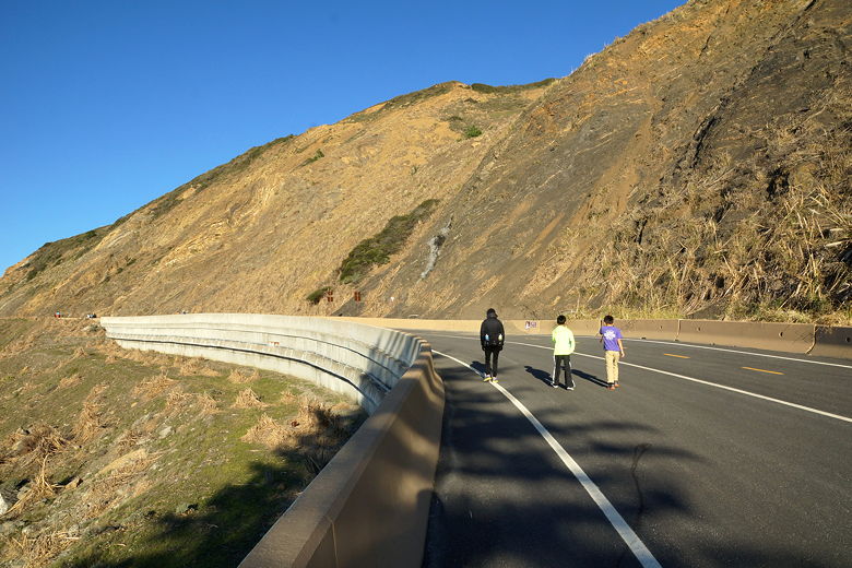
One side for bikes, one side for walkers
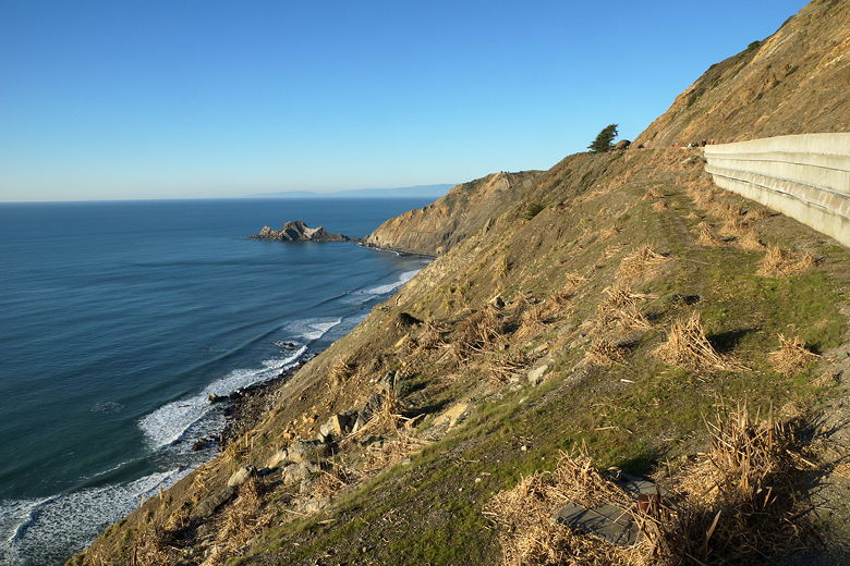
View to the north
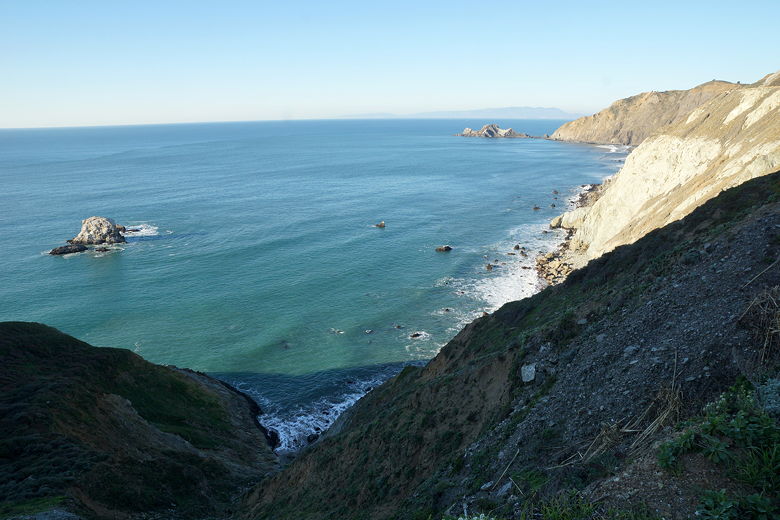
Outcropping
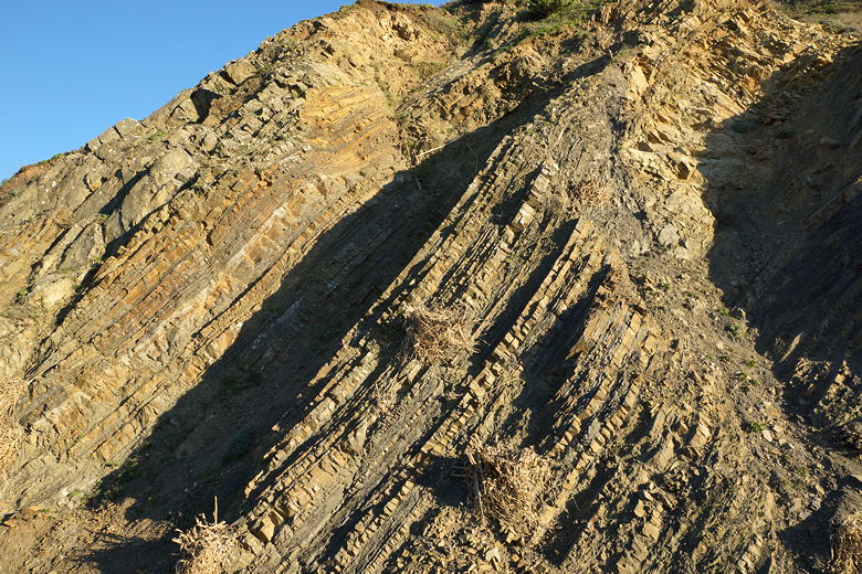
Striations in the cliffs
| 

