|
Henry Coe is a nice place to visit in the spring, when the temperature is still
manageable and there are wildflowers and green hills. Considering that and the
fact that it is the
largest state park in northern California, I find it hard to believe that this is our
first trip back to Henry Coe in nearly 16 years! From what we saw, it doesn't look
like it has changed much.
We parked at the park headquarters. There was a sign that the Frog Lake trail was closed,
but only a small portion of it, and it wouldn't really interfere with our hike. We finally
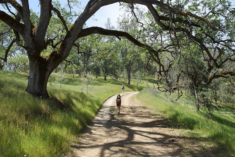
got started off on our hike at noon, up the Monument Trail. We soon came to a bench
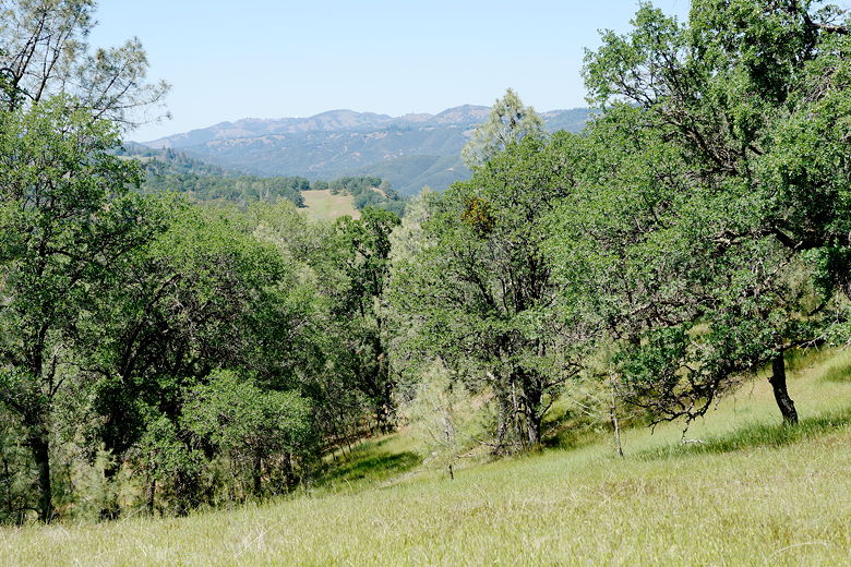
with a great view of the surrounding hillsides. We could also see a raptor soaring
above. We'd see more later.
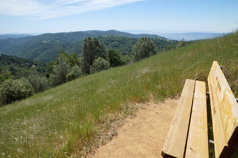
Bench next to the Monument Trail
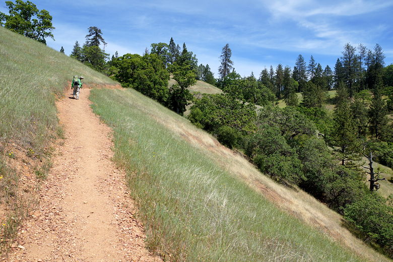
Climbing the Monument Trail
Continuing up the Monument Trail, after about a half mile we turned left onto the wide
dirt road that is Hobbs Road. Hobbs Road descends, steeply at times, for about 0.8 miles
down to Frog Lake. We passed several groups of hikers huffing and puffing in the opposite
direction. Note that there is an alternative, slightly longer route to Frog Lake, via
the Flat Frog Trail. This is single track, so might be nicer, though I'm guessing it may
miss some of the views from the Monument Trail.
View from the Monument Trail
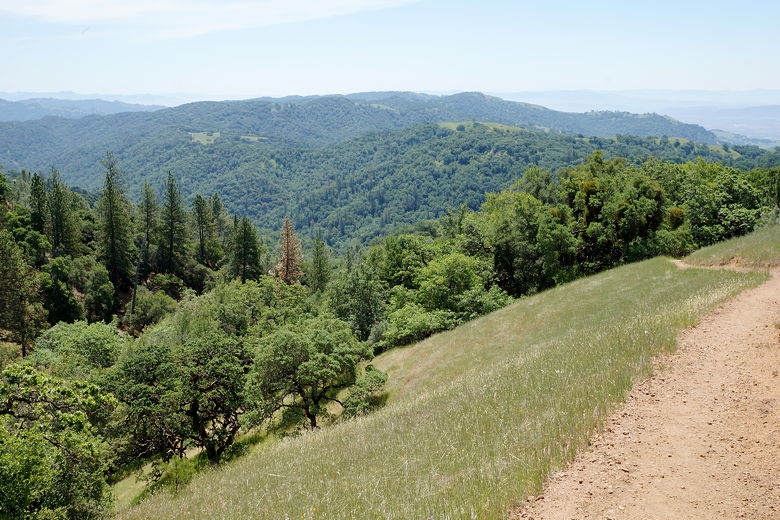
Looking back down the Monument Trail
16 years is apparently long enough that I'd forgotten I'd visited Frog Lake before, although
it was fall and we didn't stop there for long on that trip (to Poverty Flat). This time,
we walked around the edge of the lake until we found a nice place to have lunch, away from
the couple of people trying to fish. It's a small lake, but probably nicer in spring.
I had asked the ranger back at headquarters if there was water in the lake considering
the drought, and he assured me there was, saying it sometimes held water the entire summer.
Now, we could see the occasional fish jump out of the water, and hear something that sort
of sounded like geese honking (though we didn't see them).
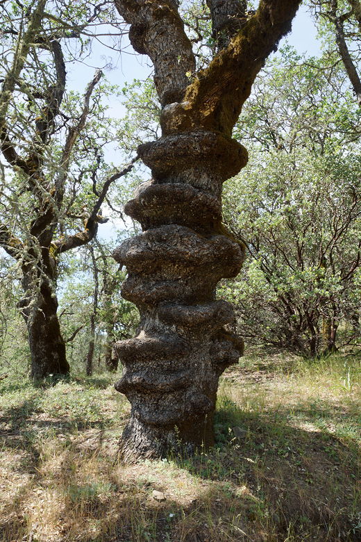
Strange tree near Frog Lake
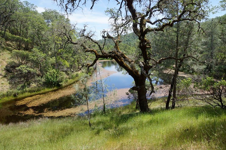
Frog Lake
After lunch we headed back toward the main trail, pausing to look at some fish swimming
near the lake shore. Then we continued along Hobbs Road, now climbing steeply. Of
course if you've ever been to Henry Coe you know that there's only one type of climbing
or descending - STEEP!
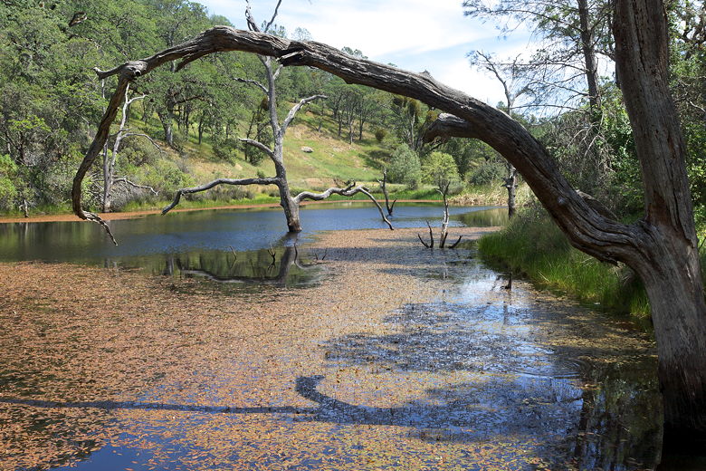
Frog Lake
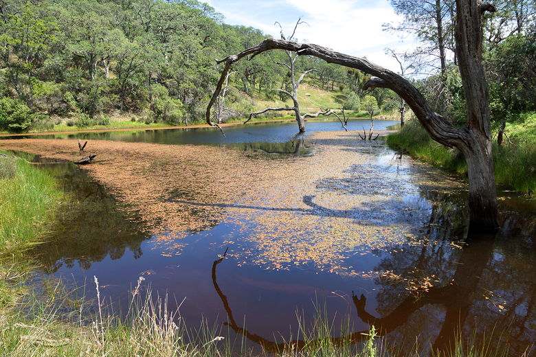
Frog Lake
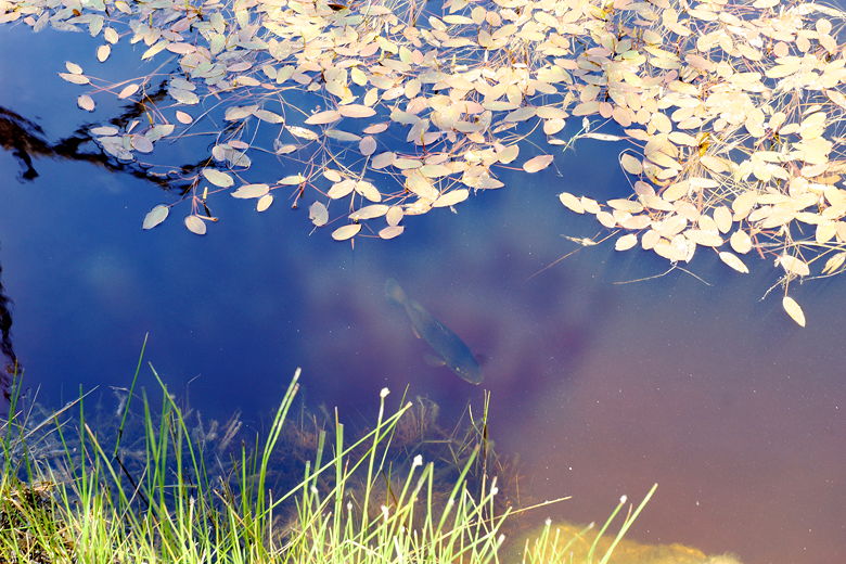
Fish in Frog Lake
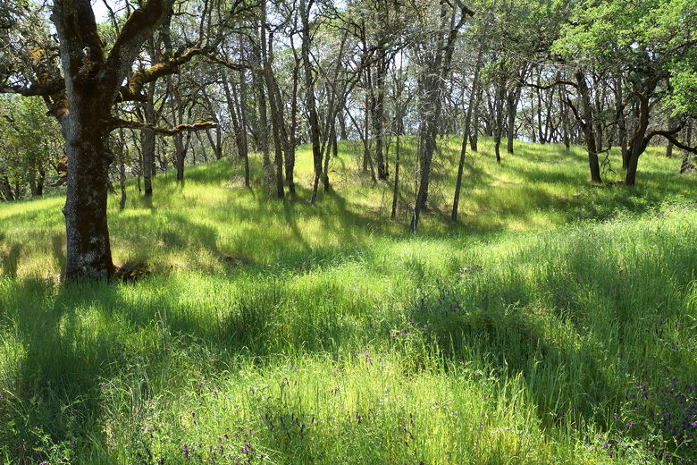
Grasses next to the trail
Climbing Hobbs Road
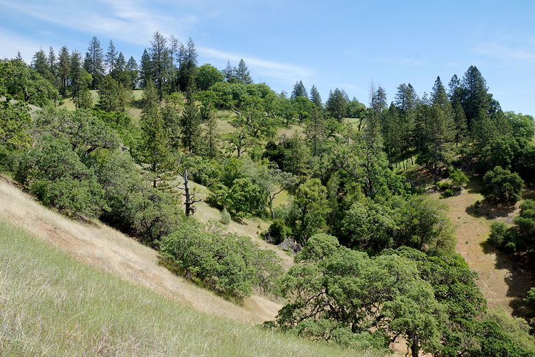
After about a half mile, the trail veers right. Soon we had views to the north of
Lick Observatory clearly visible atop Mount Hamilton to the north. Soon after we
turned right onto the single track Middle Ridge Trail. Near this intersection is
a picnic table that looks like it probably has a great view - perhaps a great place
to stop for lunch. But we'd already eaten, so we continued southeast along the trail.
Mount Hamilton from Hobbs Road
This trail goes all the way to Poverty Flat (where I'd gone more than 16 years ago).
This time, we turned right well before then, onto the Fish Trail. This trail descends
into the forest, all the way down to the Little Fork of Coyote Creek. There wasn't
much water to speak of. The trail crosses the creek and then immediately starts
climbing to the south. We continued to see dry streambeds along the way.
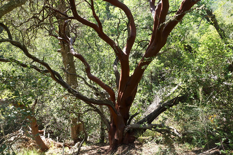
Manzanita on Fish Trail
The trail emerges from the forest to a picnic bench near a main trail intersection.
We stopped at the bench for one last break, knowing we only had about 0.6 miles to go
to reach headquarters. While we rested, we saw lots of raptors circling high above.
One swooped down really low, but unfortunately I wasn't ready with my camera. I only
got a few distant shots while they were far overhead.
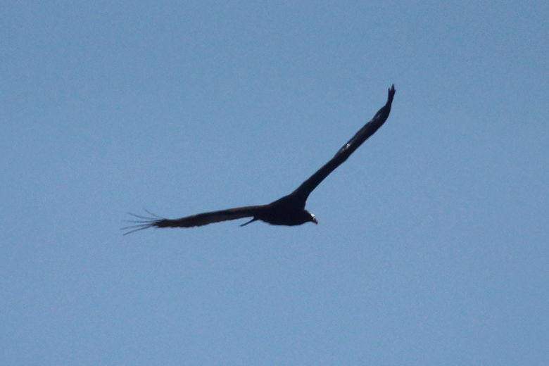
Raptor
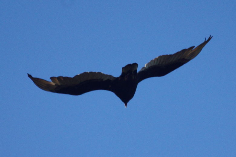
Raptor
After the break, we crossed the dirt road and took the short trail back to headquarters.
| 

