|
Eleven years ago we had come to San Pedro Valley County Park to hike to
Brooks Falls. Now we returned to hike to the top of Montara
Mountain. This is a mountain I had visited before, but via a different
route (coming from McNee Ranch State Park).
The parking lot was nearly empty on a Friday around noon. We started off
on the trail and then turned right to take the Montara Mountain Trail (the
left trail goes to Brooks Falls). The trail starts out as a wide dirt road
and climbs gradually through
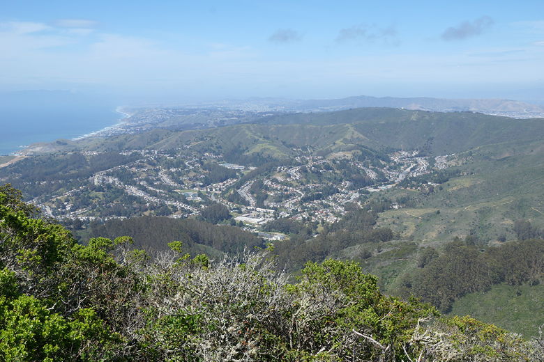
eucalyptus forest. As we climbed higher, we got better views of Pacifica
below us to the right, and then views of the Pacific Ocean as well.
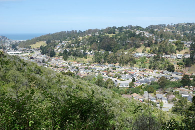
View of Pacifica from the Montara Mountain Trail
There are markers every quarter mile, probably as a convenience to trail
runners who
probably frequent the park. The park entrance is right at the edge of
a residential neighborhood, so I would guess some nearby residents take
advantage of the park.
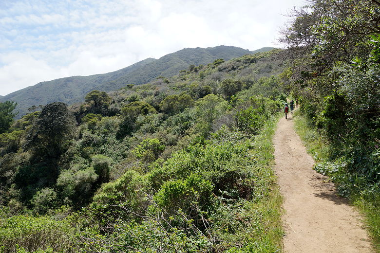
Heading up the Montara Mountain Trail
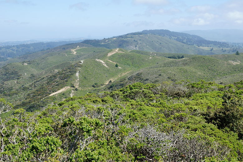
After a while the trail emerges from the eucalyptus forest and remains
unshaded for the most part the rest of the way up to the top. We now had
better views of the hills leading down to the ocean. There are occasional
benches to enjoy the view. We could also see the northern parking lot
for the Devil's Slide trail that we did earlier this year.
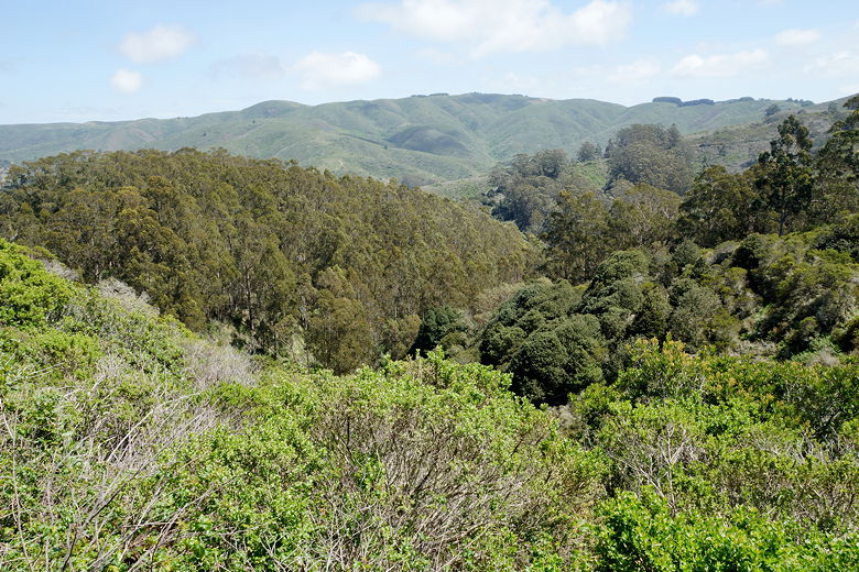
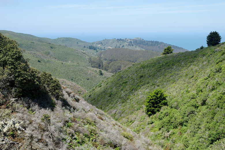
View from the trail
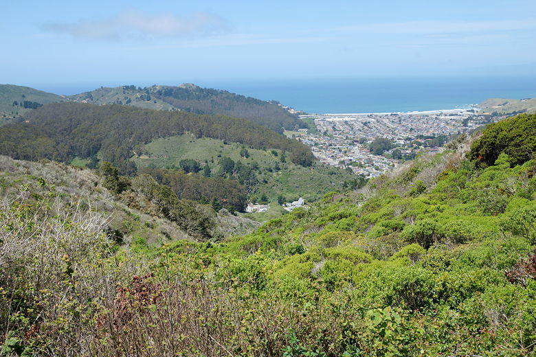
Looking down on Pacifica and the Pacific Ocean
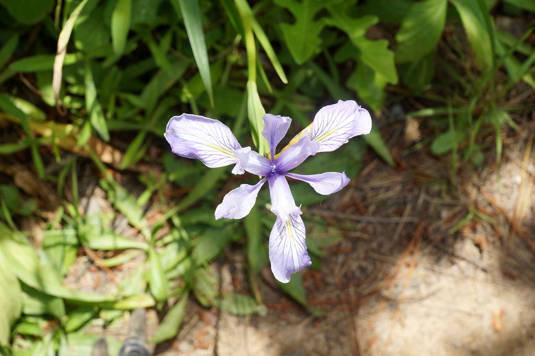
Orchid
Looking down toward the northern end of the Devil's Slide Trail
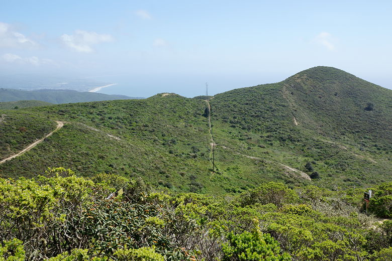
After about 1.3 miles, there is a trail intersection; the Brooks Creek Trail
descends to the left. We stayed straight on the Montara Mountain Trail,
which continues for another 1.1 miles to Montara Mountain Road. Along the
way the wind picked up but the views increased. The grade is never too steep.
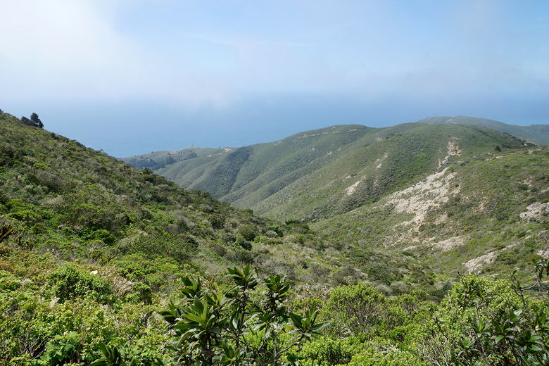
View toward the ocean
About 2.4 miles from the trailhead, we reached the access road. We turned left and started
ascending the wide dirt and rock road. This next section is the steepest part
of the hike, but it's not bad. We encountered close to 20 people on this
hike, and one mountain biker (they're not allowed in San Pedro Valley trails,
but are allowed on the access road).
We pushed on to the top. At an intersection, Middle Peak was a short distance to our left.
We continued to the right and soon reached the top of Montara Mountain North Peak.
There are a series of antennas at the top, fenced off from the public. We found a small
trail leading to an area on the east side of the peak, mostly sheltered from the wind
(which was quite bothersome by now), which was coming in from the west. We settled down
for lunch as we enjoyed views across the bay of Mount Diablo, as well as unencumbered
views to the north and south.
View to the east from the top (Mt. Diablo is out there)
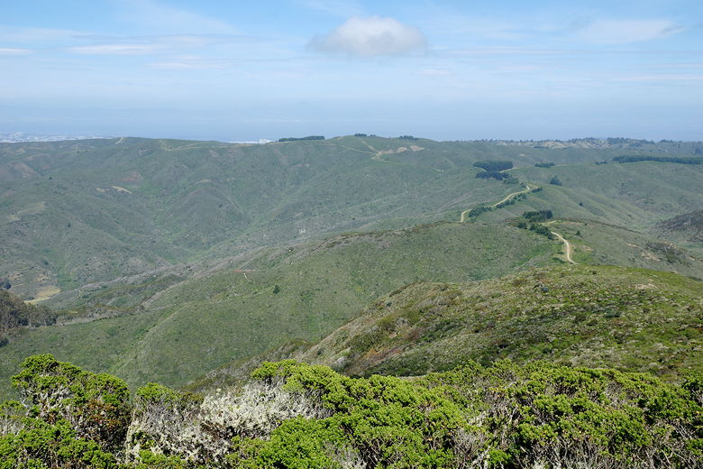
View to the north
View to the southeast
View to the southwest
After lunch we headed back down the mountain. After descending the access road we turned
right onto the Montara Mountain Trail. At the next intersection, we turned right onto
the Brooks Creek Trail to have a little variety on the trip back. This is about the same
distance as the Montara Mountain Trail. It is a nice change of pace. There is some
manzanita along the Brooks Creek Trail (as well as some poison oak). Approaching the
Books Falls overlook is a nice eucalyptus grove. We didn't stop at the falls overlook,
figuring it couldn't be as good as when we'd seen it back in January of 2004 (and it
wasn't impressive then, either). Soon we were back the parking lot.
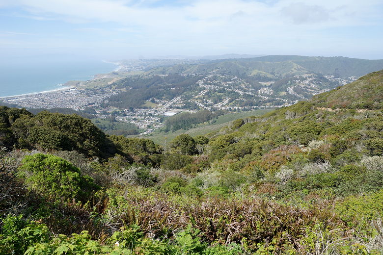
View of Pacifica on the way down
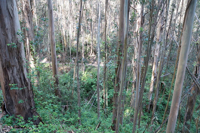
Eucalyptus forest on the Brooks Creek Trail
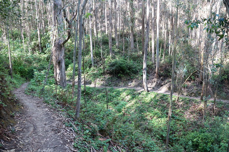
Brooks Creek Trail
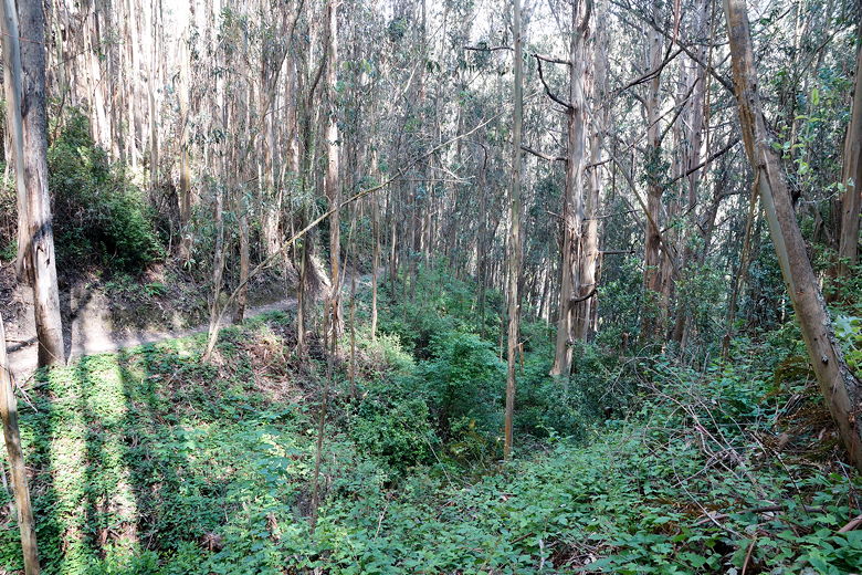
Eucalyptus forest
| 

