|
The last time I visited Pinnacles, in 1997, it was still a National Monument.
Pinnacles became a National Park in 2013, though I don't think much has changed.
We arrived a bit past 11am and paid for parking at the visitor's center.
Then we went to the small day use parking lot at the end of the road,
where we were lucky enough to get one of the last 3 parking spots. It filled
up shortly after we arrived. On a weekend, forget it; you'll almost certainly
have to park in the large lot a quarter mile from the trailhead.
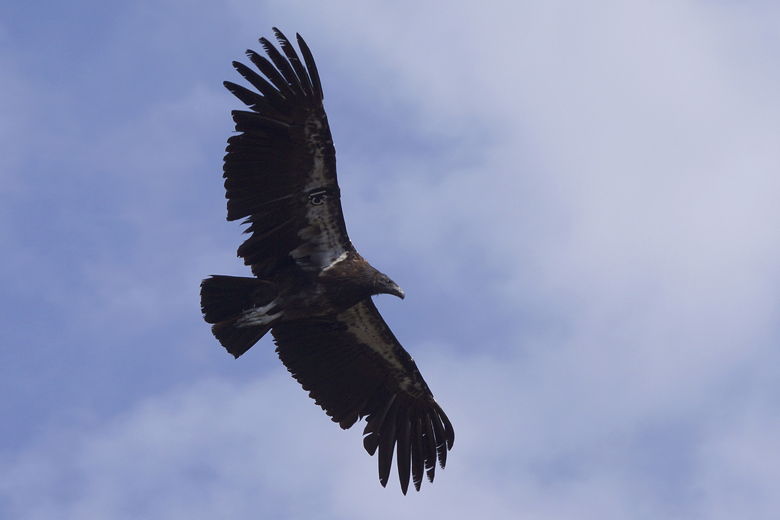
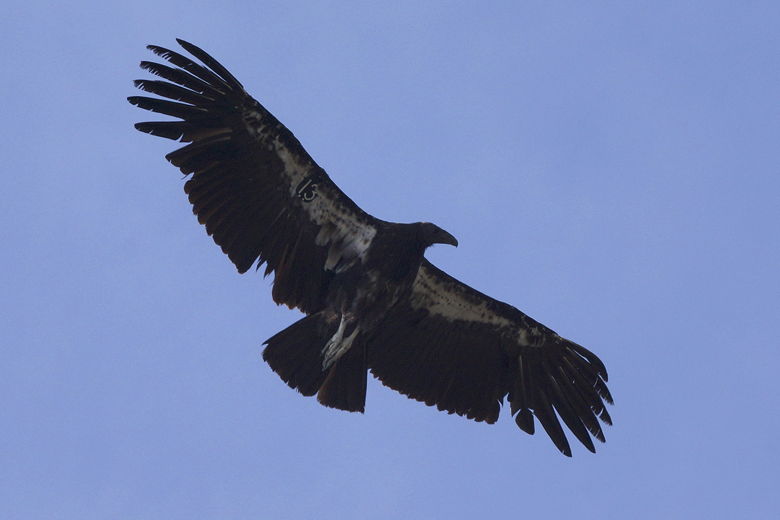
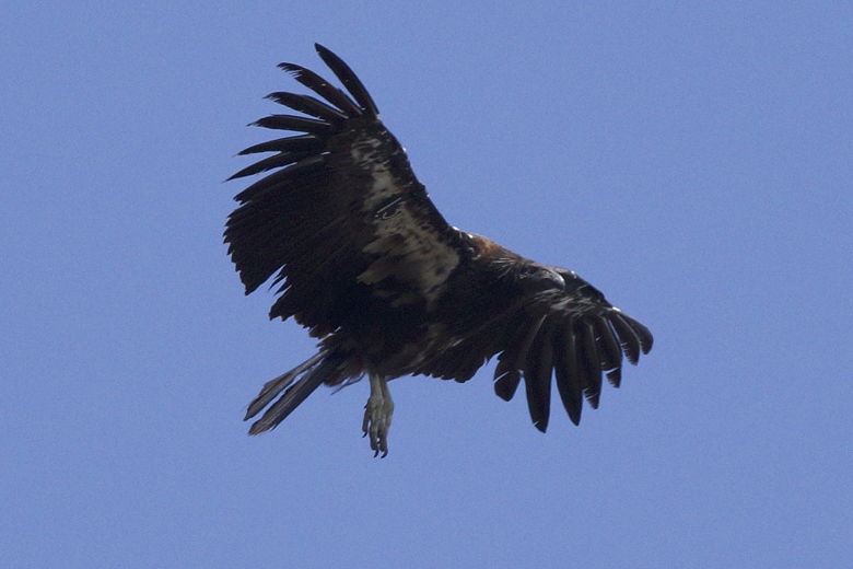
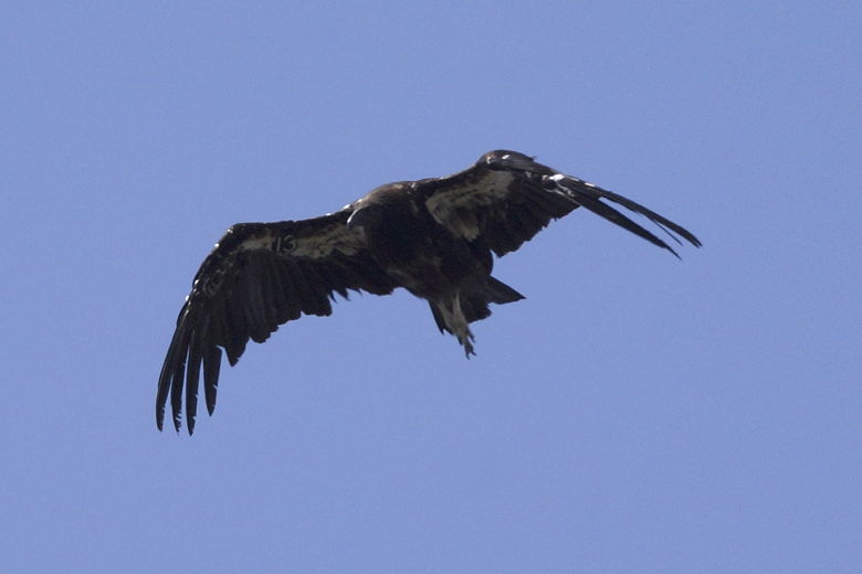
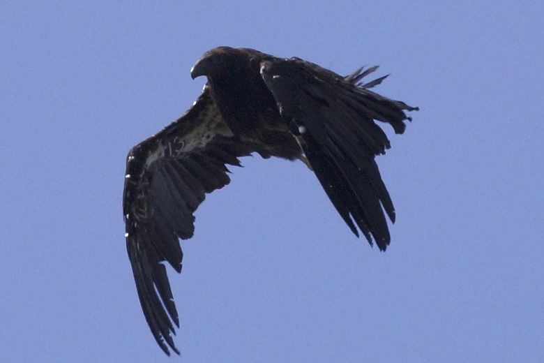
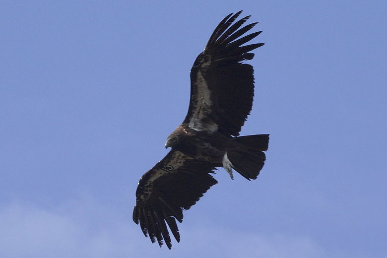
While we were getting ready, we could see raptors high above. Then we headed
up the trail. Very shortly we turned left (the right fork heads to High Peaks).
We made sure to follow all the trail signs as there are many spur trails for rock
climbing access. Just be sure to follow the signs toward the reservoir.
You can take either the caves route or the Moses Spring Trail. We chose to take
the Moses Spring Trail.
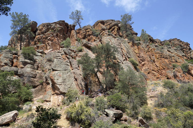
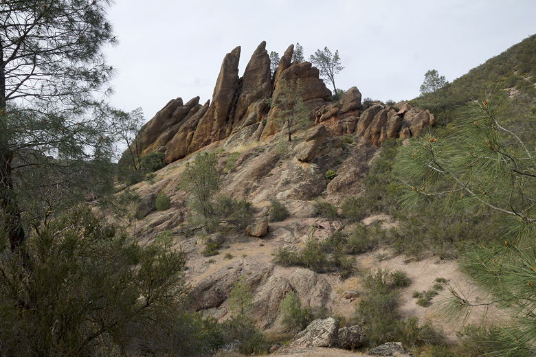
Rock climbers near the start of the hike
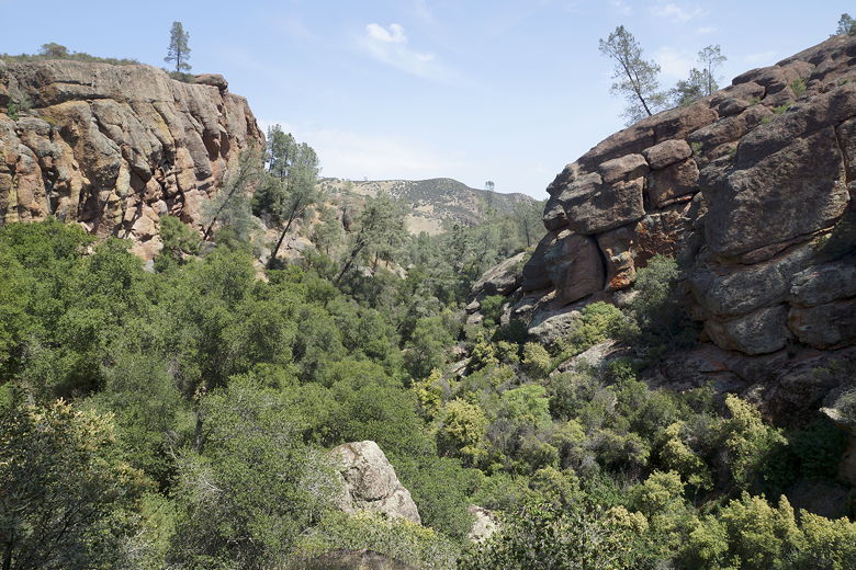
Looking at the view behind us
There are numbered signposts along the way; I'm sure there's a corresponding
nature pamphlet that's available at the visitor's center. While we didn't take
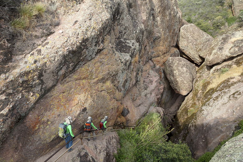
the cave route, we did have to walk through a short tunnel, and squeeze
under a particularly narrow space. And then we climbed the very narrow staircase
(with a very low metal railing) up toward the reservoir.
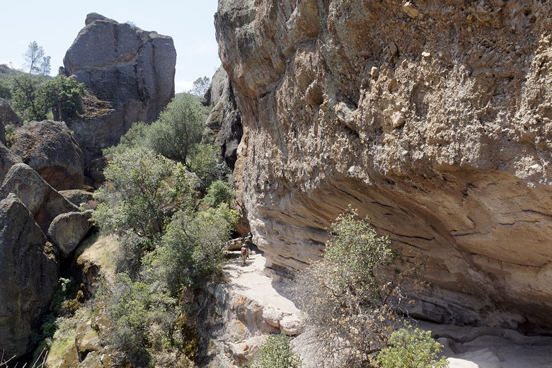
The trail goes under this overhang
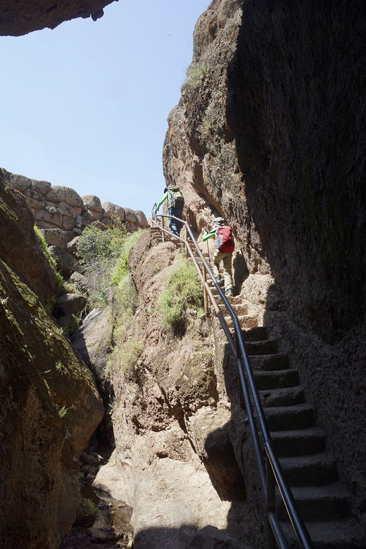
Then up the stairs
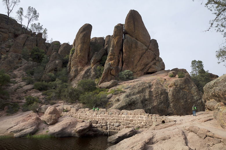
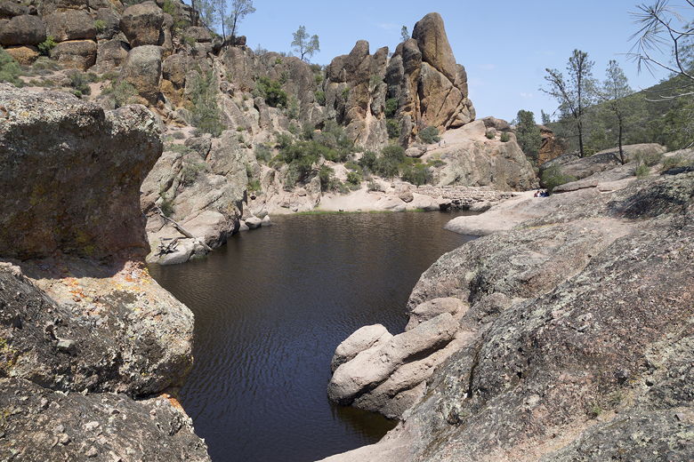
Shortly after reaching the top of the steps, we could see the reservoir below us.
A group was already there, having lunch. We walked past them and found a spot just off
the trail to take in the view and have lunch ourselves. As we did so, a large
group of young rock climbers walked back across the top of the dam toward the
trailhead. While we saw almost no one on the trail to the reservoir, we saw a lot of
people at the reservoir, and then would only see 2 people past the reservoir.
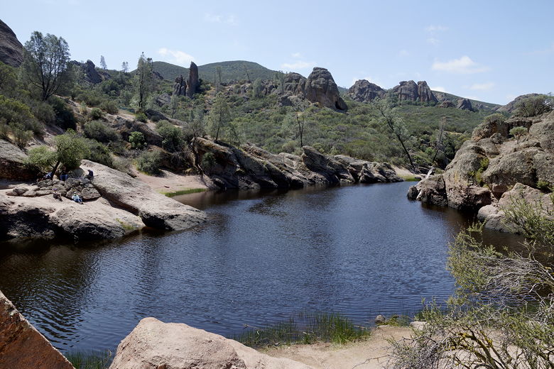
Bear Gulch Reservoir
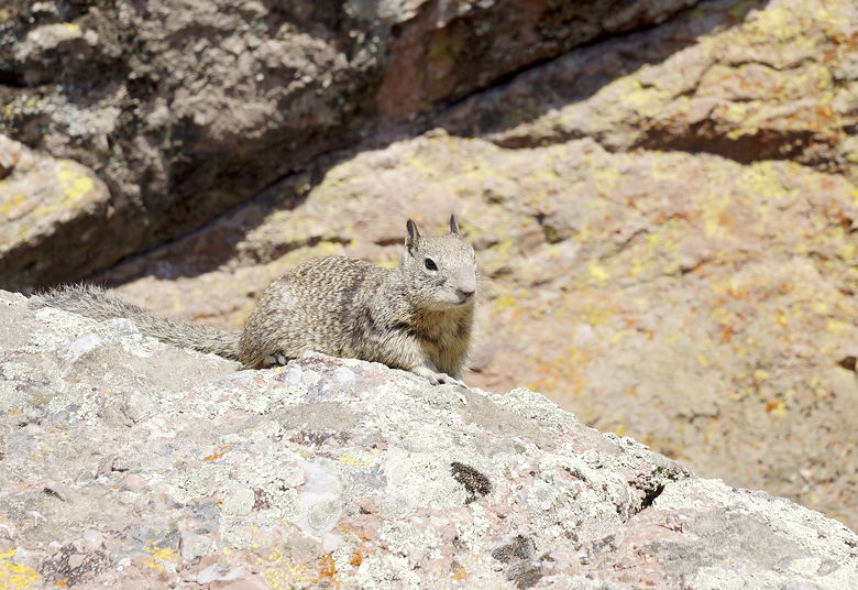
A squirrel looks on
Looking back at the dam
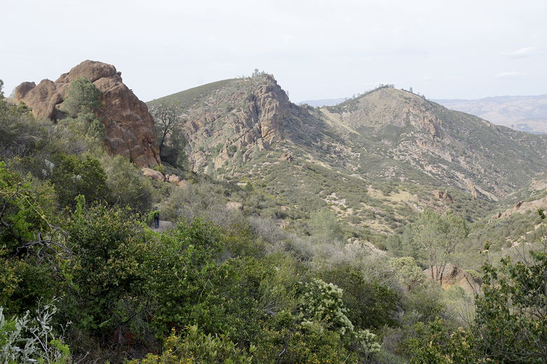
After lunch we continued along the trail toward North Chalone Peak. It's a pretty
well-signed and maintained trail. The main issue with the trail is that there is almost
no shade the entire way after the reservoir. The spring sun was warm enough to drain
us a little; I can't imagine what it's like in the summer (probably unbearable).
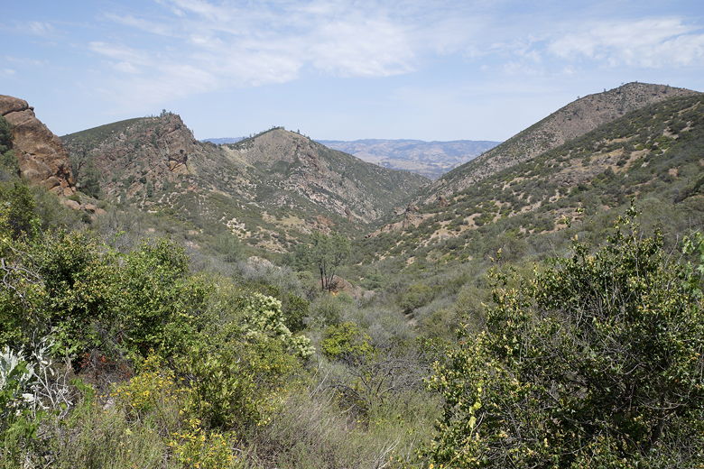
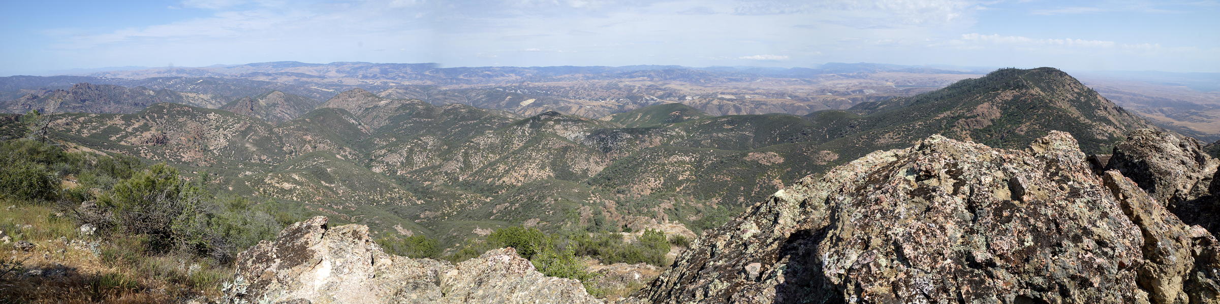
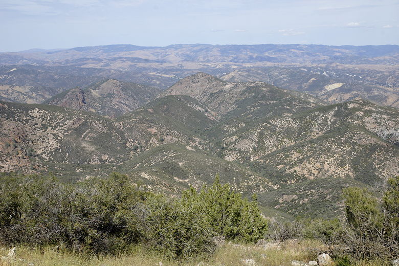
View from the North Chalone Peak Trail
View from the North Chalone Peak Trail
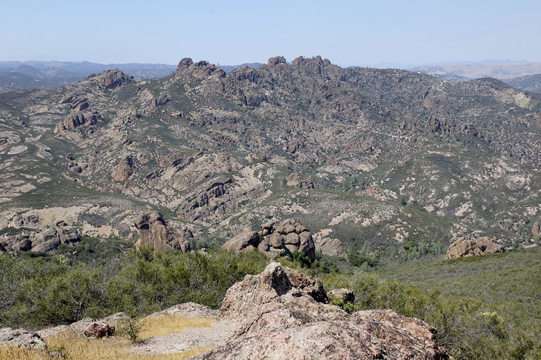
View from further along the trail
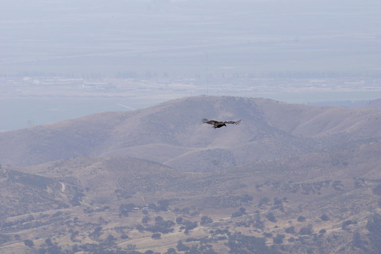
As we climbed (a very gradual climb), we gained better and better views of the
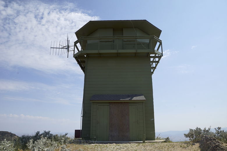
surrounding mountains and valleys. After climbing steadily for a while, we spotted
the lookout on the top of North Chalone Peak, southwest of us. Painted light green,
it's easy to spot.
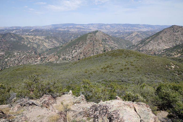
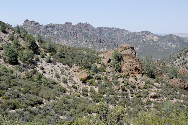
More views
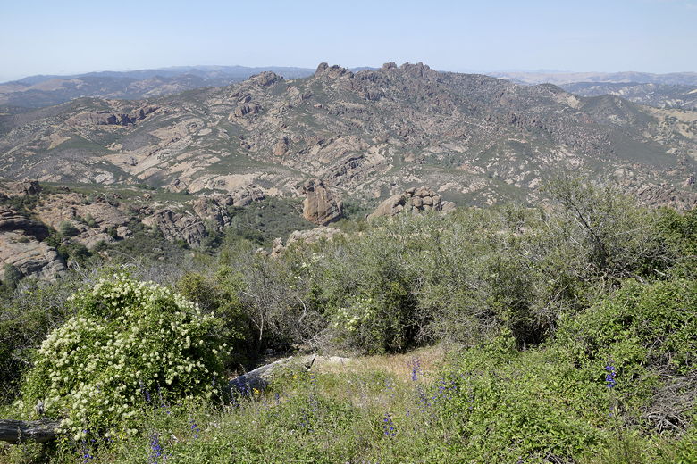
More views
Norht Chalone Peak (second from the left) is clearly visible with the lookout tower on top
We crossed a gate to continue on the trail. Normally, hikers just open the gate to
pass through; in this case, the sign said to use the wodden stile instead. Having never
actually heard of the term before, this left us a little confused, but eventually
I figured it was another term for ladder (in fact, it is "an arrangement of steps that
allows people but not animals to climb over a fence or wall"). Apparently the fence
was constructed in 2003, is 24 miles long, and its purpose is to keep pigs out of
Pinnacles.
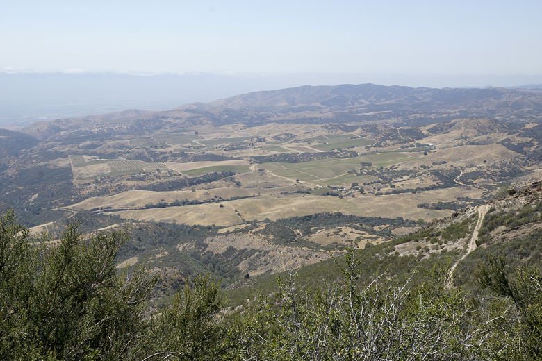
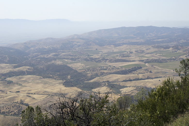
Looking down at the farmland below
The trail soon joins a dirt road and started to climb more steeply. We crossed another
gate (using stiles to get over), then passed the trail to South Chalone Peak. The
South Chalone Peak trail
an unmaintained trail, though it looks like it would be fairly easy to follow. It
would add about another 3.2 miles to the trip.
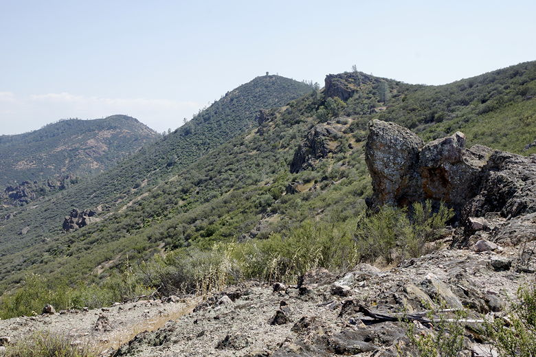
The road after the second gate is probably the steepest part of the hike. As we
climbed, we gained better views of the farmland below us to the west. Shortly, we
reached the base of the lookout. The lookout is closed. There are bathrooms nearby
(in a separate stone building). There are views from the edges in all directions.
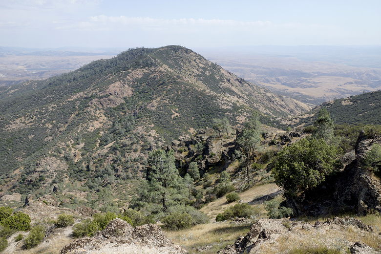
South Chalone Peak from the north peak
|