|
Jean and I had visited Las Trampas Wilderness 12 years ago, hiking the Las Trampas
Ridge side. At the time, I had thought to return sometime to visit the Rocky
Ridge side. 12 years later, here we were.
After 12 years, parking is still free. Since it was a Monday, there were only a
couple of other cars in the lot. A sign said the parking lot closed at 7pm
(there's a gate), but we'd be done far before that. We got started off on our
hike just before noon.
The morning fog had mostly burned off and it was sunny, but a chill wind blew.
Clouds also still lingered on top of Rocky Ridge above us to the southwest.
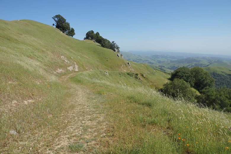
We passed a metal cattle gate to start the hike, then headed uphill
on the paved Rocky Ridge View Trail. As we climbed, we had views of the
cloud-topped ridge to our left, and increasing views toward Las Trampas Ridge
to our right. On our previous hike to Las Trampas Ridge, we had encountered
hundreds of caterpillars. On this trip? Zero. Perhaps our timing was off,
or it was the drought, or caterpillars are more prevalent on the other side
of the park.
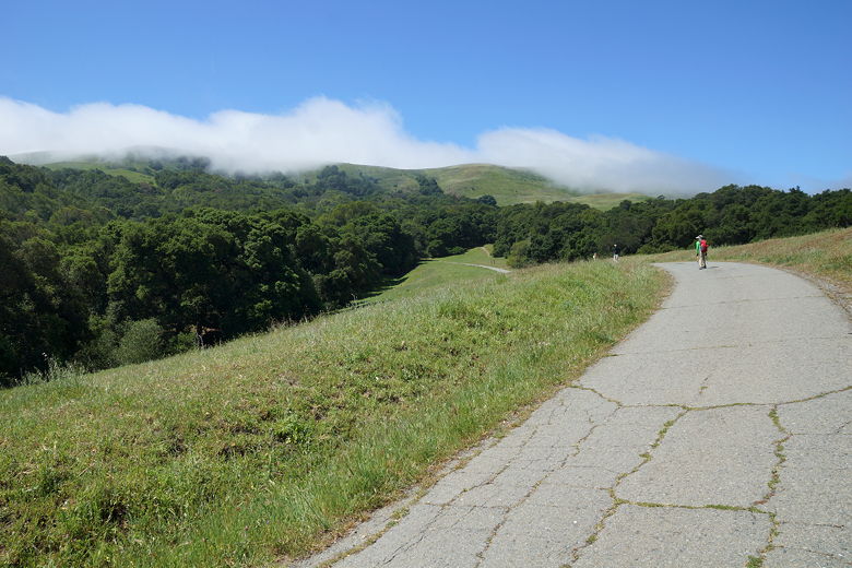
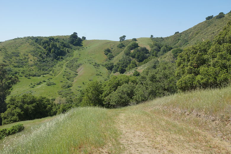
Heading up the paved Rocky Ridge View Trail
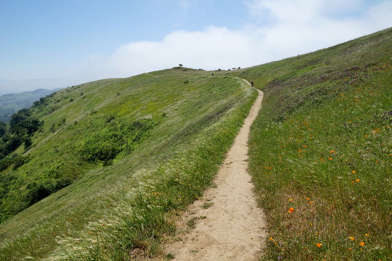
The trail, while wide and paved at this point, is quite steep. After about
a half mile, after passing the Cuesta Trail intersection, we turned left to
continue on the single track portion of the Rocky Ridge View Trail. A trio of
hikers descended toward us as we climbed. In all I'd say we saw about a half
dozen other people on the entire hike.
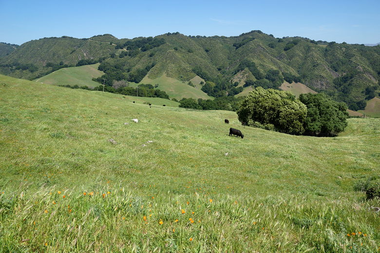
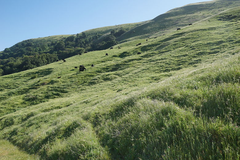
Cows seen from the trail
Looking back down the Rocky Ridge View Trail
Heading up the single track section
As we climbed, we gained views of Mount Diablo peeking over Las Trampas Ridge to the
northeast. At our feet we noticed what looked to be a sea shell
imprint, apparently evidence that this land had once been under water. We also
saw bright orange poppies and some other purple wildflowers in abundance.
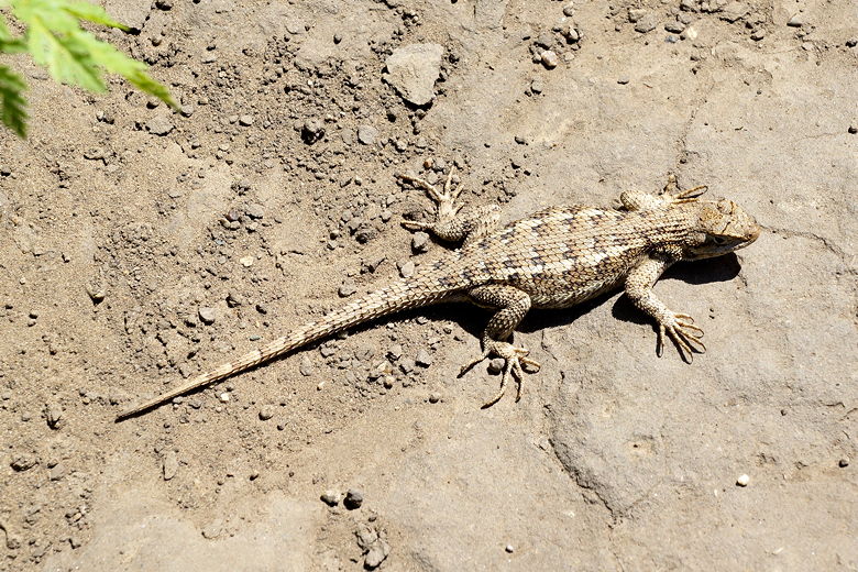
Lizard on the trail
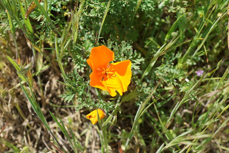
California poppy
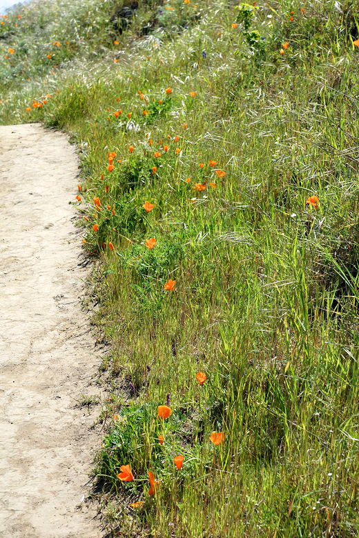
Poppies next to the trail
Mount Diablo rises to the northeast
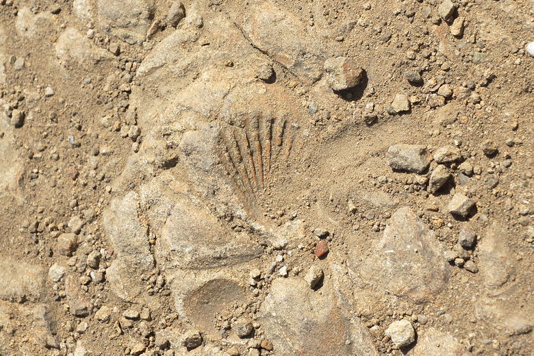
Sea shell impression?
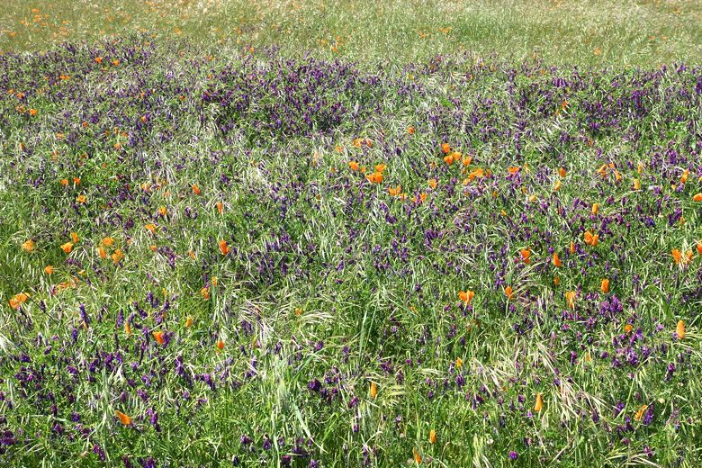
Wildflowers
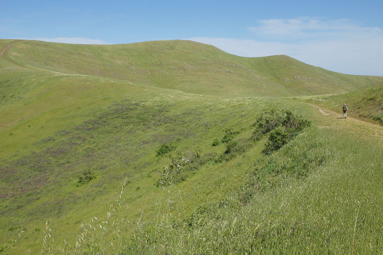
After having climbed steadily for a while, the trail is now relatively flat for a while.
The clouds were gone, but it was still windy. A fence marking the park boundary runs
along much of this section of the trail, to the right. Beyond that fence is land
owned by EBMUD; you need a special hiking permit to enter that area. We did not have
such a permit, but were content to stay within the confines of Las Trampas Regional
Wilderness.
Continuing up the trail
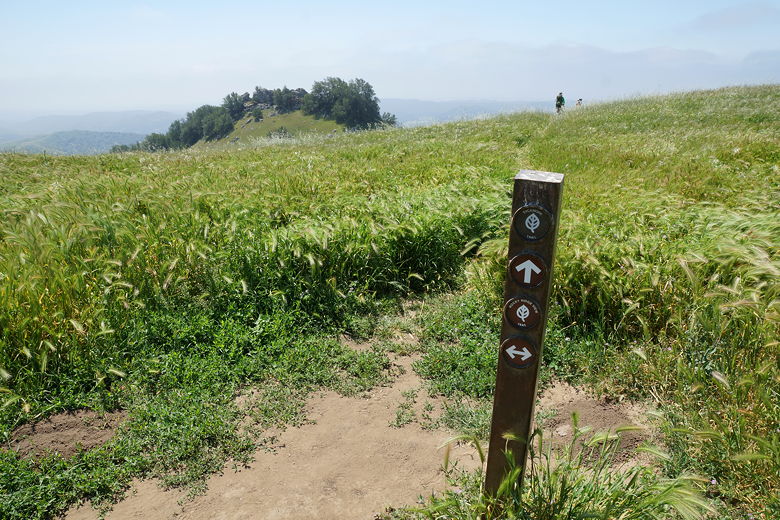
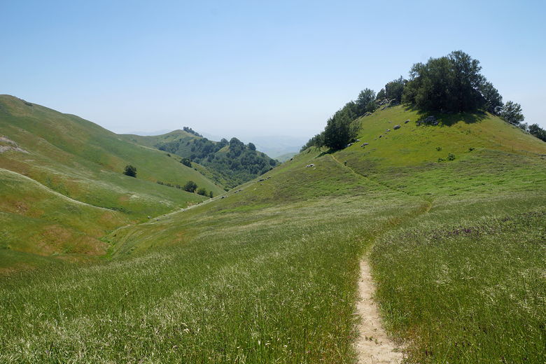
The trail widens into a dirt road, and then shortly thereafter we turned right onto the
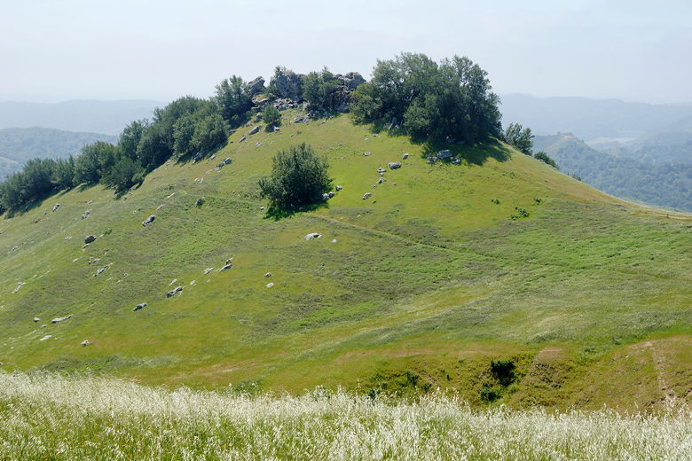
Sycamore Trail. This single track heads downhill toward a ridge with rock outcroppings.
The rocks have been sculpted by the wind to form small caves. There's a fence running
along the ridge here, denoting the EBMUD boundary. We found a nice spot for a lunch
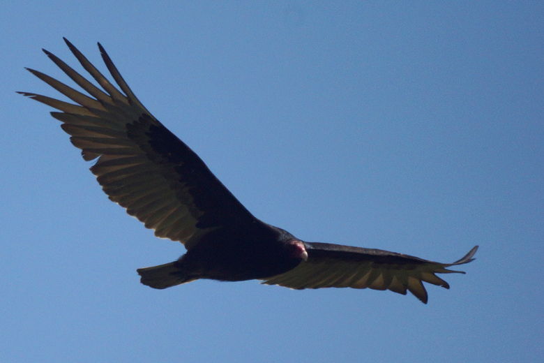
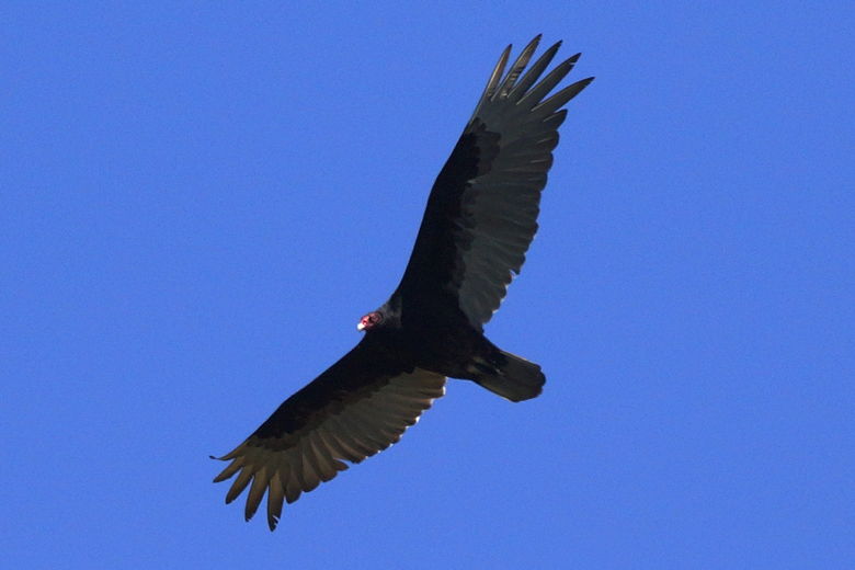
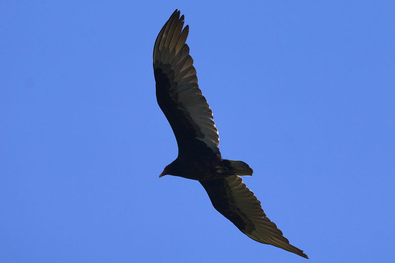
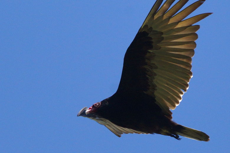
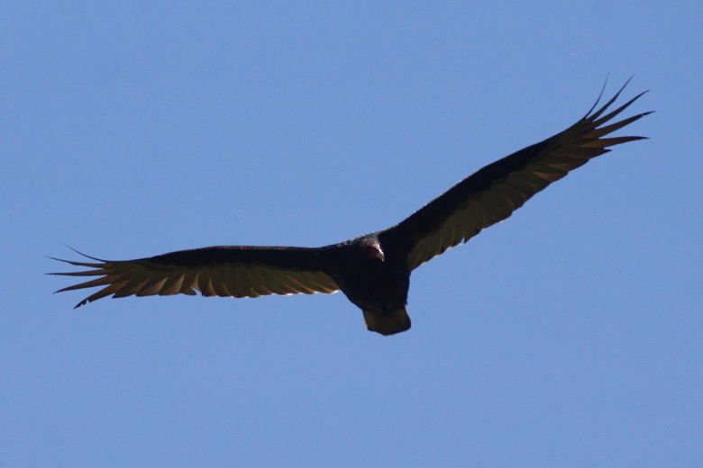
break among the rocks on our side of the fence. While we ate, raptors circled the
skies 2, 3, and 4 at a time. They kept circling and swooping, putting on a great
aerial show that we enjoyed and I tried to capture as much as I could with my camera.
There's something almost magical about raptors in flight, something that made it hard
for us to pull away, which we finally did after about an hour break.
The Sycamore trail heads into the grasses
Heading toward our lunch stop
Sycamore Trail
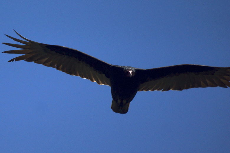
Raptor
Probably a turkey vulture
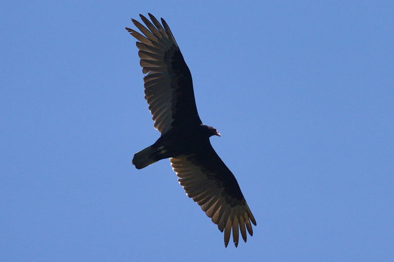
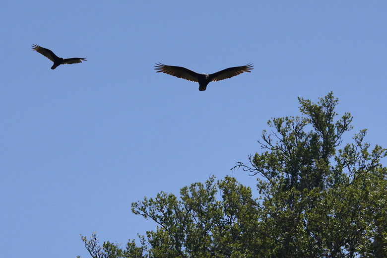
Two raptors in flight
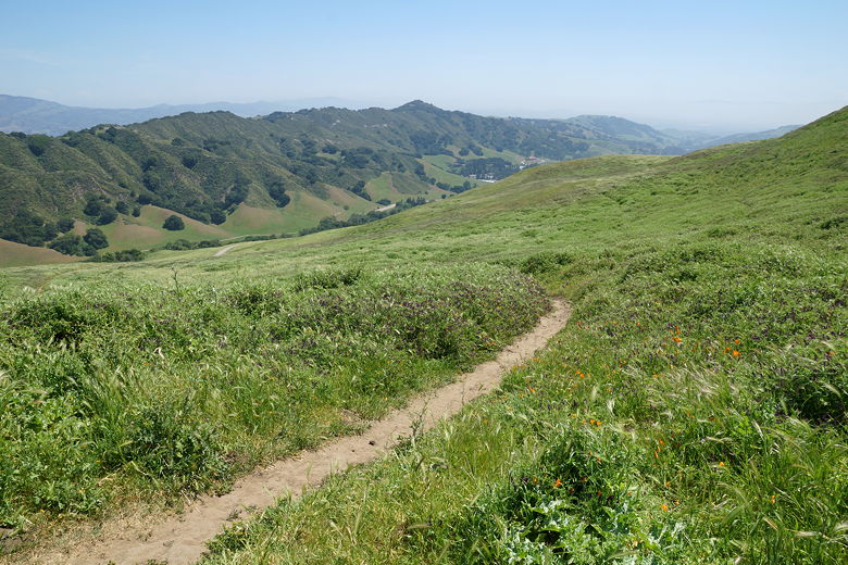
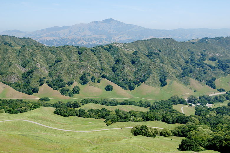
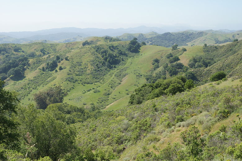
After lunch we continued along the trail, which continues downhill and then very briefly
heads up and over a small ridge, revealing great views to the west. Now the trail
descended in earnest, at some very steep inclines. Rolling green hillsides greeted
the eye for miles. The chill wind we'd endured earlier was nowhere to be found, replaced
by the afternoon heat. Much of the descent here is unshaded.
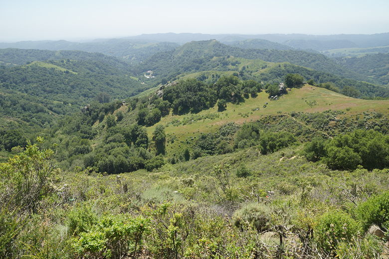
View looking west from near the top of the ridge
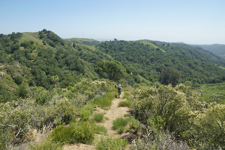
Continuing down the west side of the Sycamore Trail
In the distance we could hear some periodic pounding, perhaps some construction or
quarry work. We could never quite identify where it was coming from, though. It sounded
like somewhere to the west or south. After about a mile of descent from our lunch spot,
we reached Cull Creek. Or rather, we reached where it would be, if there had actually
been any water. Instead we saw a dry creek bed. We crossed the creek bed and then turned
left onto Devil's Hole Trail.
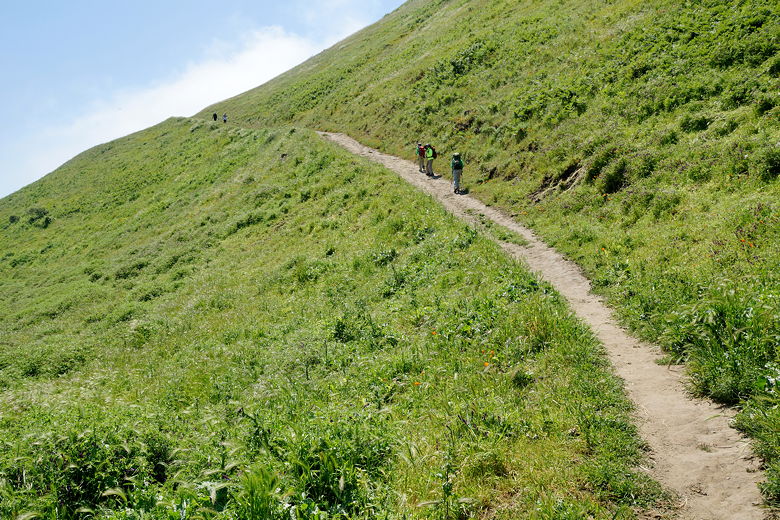
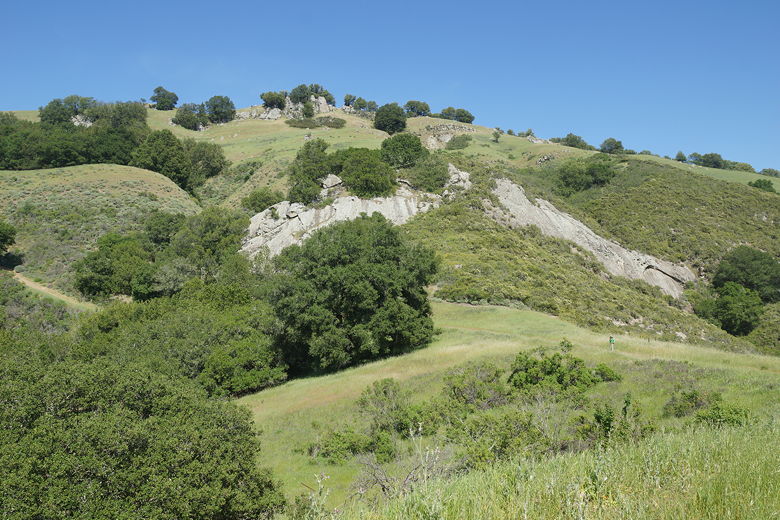
Devil's Hole Trail is a wide dirt road heading back uphill toward Rocky Ridge. Why
is it so named? Perhaps it has something to do with the fact that the trail is
devilishly steep. It starts out at about a 20% grade, when the afternoon heat starts
to take a toll. And *then* it gets comically steeper, 25-30% in places. At least there
are a few shaded spots. You get a brief respite where it levels off very briefly
approaching a large rock face. But then the climbing kicks in again.
Looking back on Devil's Hole Trail
Green hills as far as the eye can see
Heading up the Devil's Hole Trail
As we neared the top, we could again see raptors soaring in the skies to the south.
Looking back to the west we could just barely make out the bay beneath the
afternoon haze. At this moment it struck me that it's amazing this place even exists -
a large patch of wilderness in the middle of the densely populated Bay Area. In
some directions I could not see any buildings at all, far off into the distance.
Just rolling green hills as far as the eye could see. This didn't seem possible
since I knew the park sits in an area completely surrounded by busy freeways -
Interstates 580, 680, and Highway 24. And yet here it was.
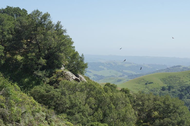
Raptors
Looking back down the Devil's Hole Trail
The grade finally relents near the top, though the wind kicked up again. And it
was fairly howling as we crested the climb and started down the other side. We soon
reached an intersection with the Rocky Ridge View Trail, where we had two choices.
We could either go right and then turn left onto the Elderberry Trail, which would
take us back to the parking lot. Or we go left, then turn right onto the Cuesta
Trail, which would return us to the paved trail at the beginning of the hike.
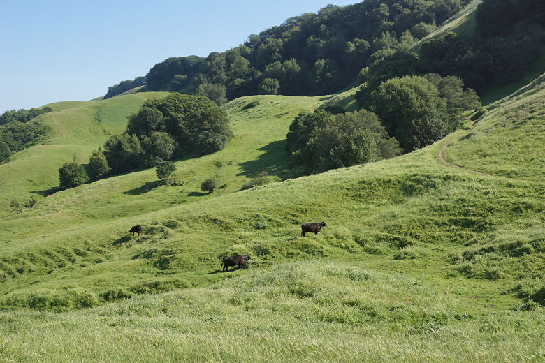
We had read that cows graze the land near the Elderberry Trail, so we decided to
take the Cuesta Trail instead. However, that would turn out to be a mistake in
some respects.
Final push to the top of the ridge
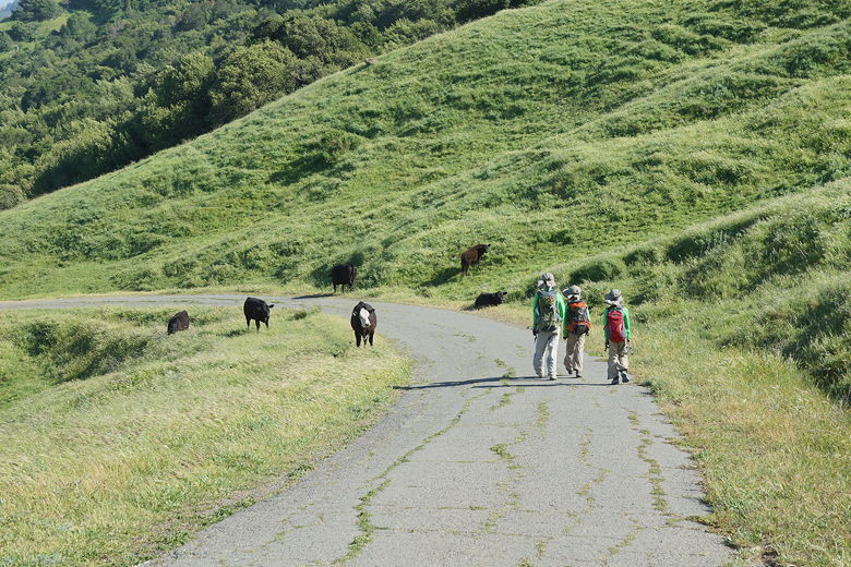
The Cuesta Trail roughly parallels the Rocky Ridge View Trail most of the time,
though the trail almost disappears in places, just being patches of flattened
grass. It wasn't too hard to follow the trail, however. As we got closer to the
paved trail, however, we encountered more and more cows grazing. Many of them
were directly on the trail. We had to detour off the trail once, and slow down
and wait for them to leave the trail on a couple other occasions. It was a weird
way to end the hike.
Cows near the trail
Cows next to the trail
Cattle on the hill
After passing the last cows right at the paved trail intersection, we continued
down the paved trail, only briefly veering off to the left onto some unsigned
single track that shortly rejoins the paved trail. At the bottom we passed the
cattle gate and returned to the parking area.
| 

