|
As soon as we drove up Aptos Creek Road toward the park, we could see lots of
runners coming toward us. This might be the Fleet Feet fun run that apparently
enters the park every Saturday morning. They didn't cause any problems for us,
though, as I think they were basically finishing up as we were arriving a bit past
10am.
We parked at George's Picnic Area, just before the steel bridge. It had rained
the night before, so the ground was a little muddy, but after a dry winter it
wasn't too bad. We started off under sunny skies, though the trees would block
the sun for most of the hike.
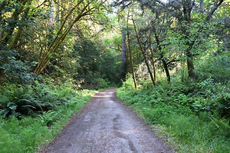
We crossed the steel bridge, then continued up the wide dirt and gravel road which
is the Aptos Creek Fire Road. You do share the road with cars, but traffic is
light and slow (15 mph). I had read that the park was not signed very well,
so when I found a single track trail leading to the west (left), I thought it might
be the West Ridge Trail that we were planning to take. I explored it for a minute
or two before deciding it was too overgrown. I backtracked back to the main fire
road. Less than a minute later up the road, about 0.4 miles from the parking lot,
we encountered the real start of
the West Ridge Trail, which was well-signed. In fact I didn't really have any
problems with signage in the park.
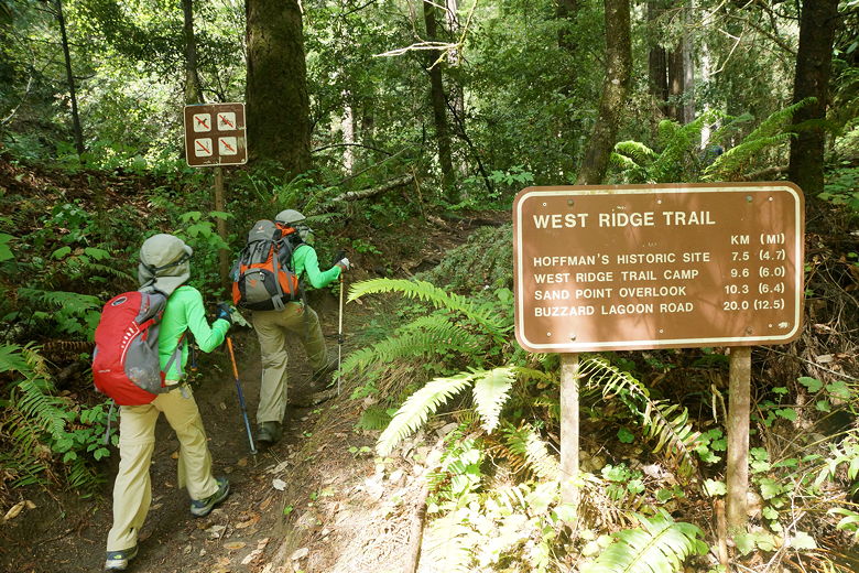
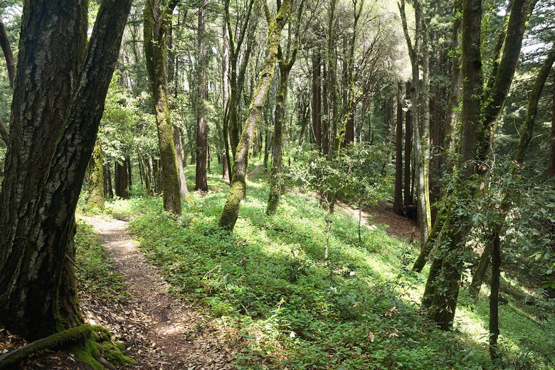
Starting the West Ridge Trail
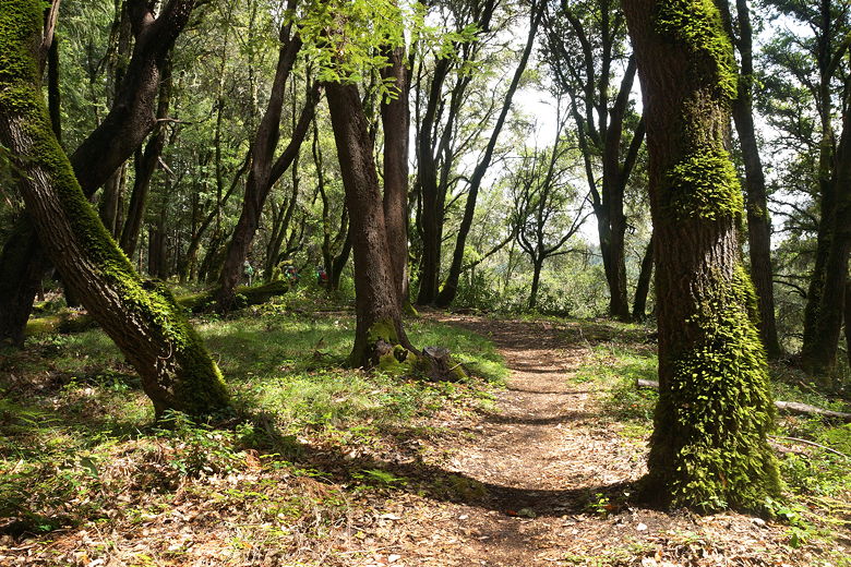
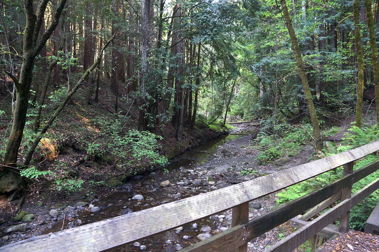
We started off on the West Ridge Trail, which immediately enters a beautiful
section of forest with lots of redwoods. The trail follows a stream for a while.
It reminds me of some scenes from Jurassic Park. We crossed the stream on a footbridge,
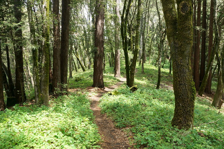
then paralleled the stream before crossing it again and started to climb. The West
Ridge Trail is mostly flat or slightly uphill for most of the way up to Sand Point
Overlook.
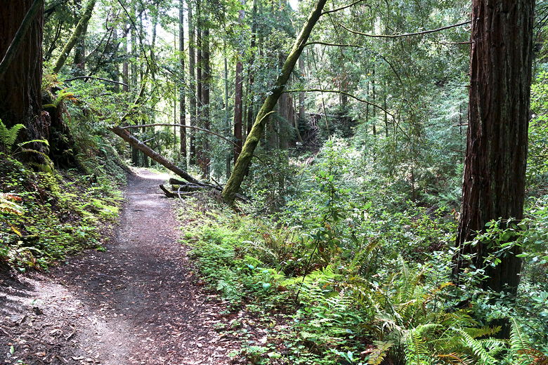
West Ridge Trail
West Ridge Trail
West Ridge Trail
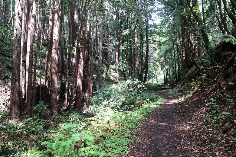
West Ridge Trail
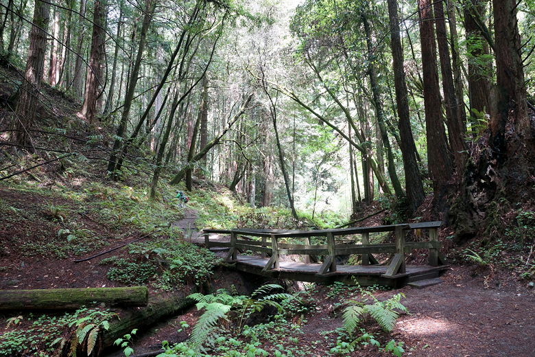
Bridge on West Ridge Trail
Looking back on the West Ridge Trail
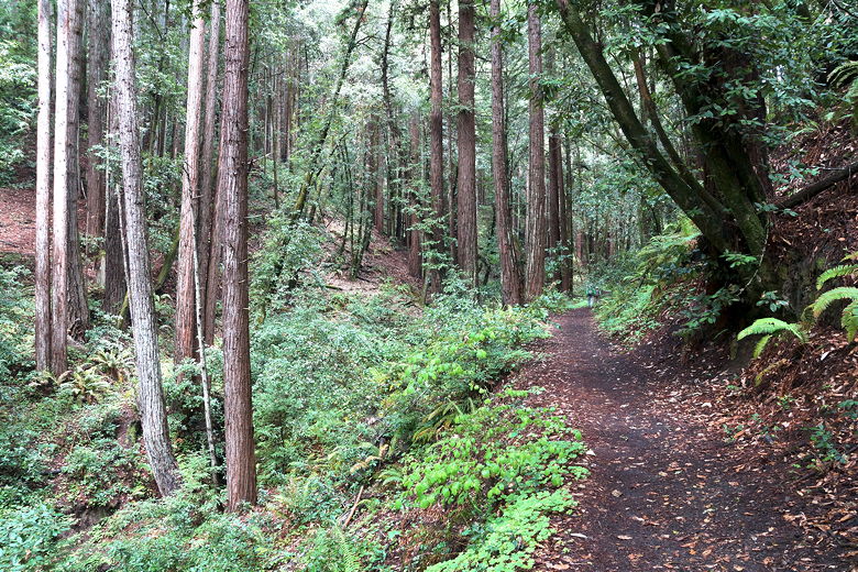
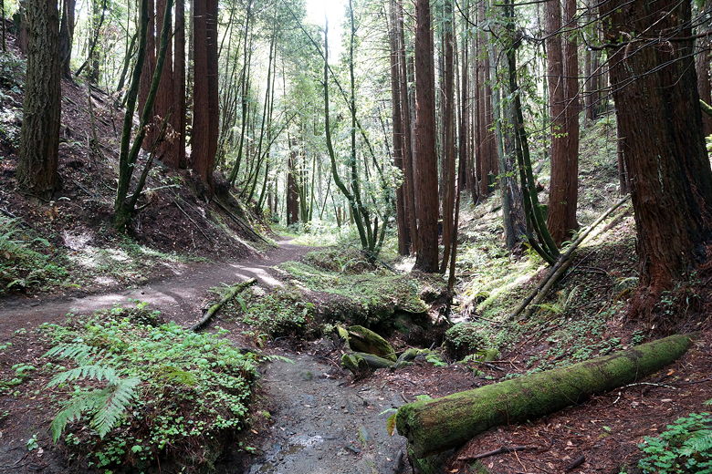
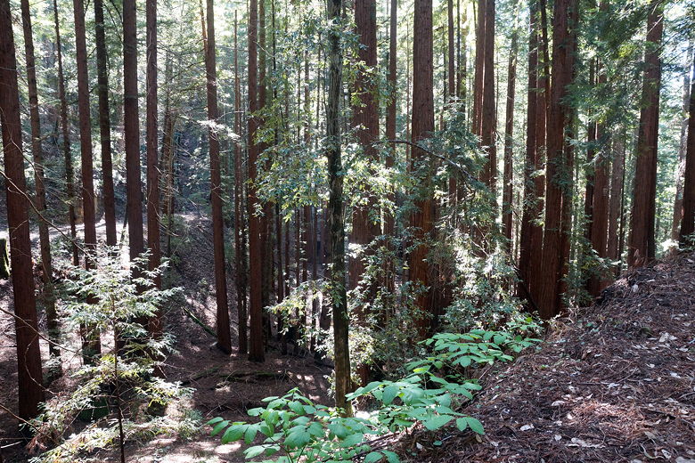
As we climbed, we noticed a decided shift in the forest. Whereas the first part was
dominated by redwoods, the next part was dominated by moss-covered trees. We continued
along the sometimes muddy trail, climbing further still without much in the way of
views. The forest is pretty thick in most directions. The only place I noticed a break
in the forest was where power lines soar overhead right through the park.
Redwoods next to the trail
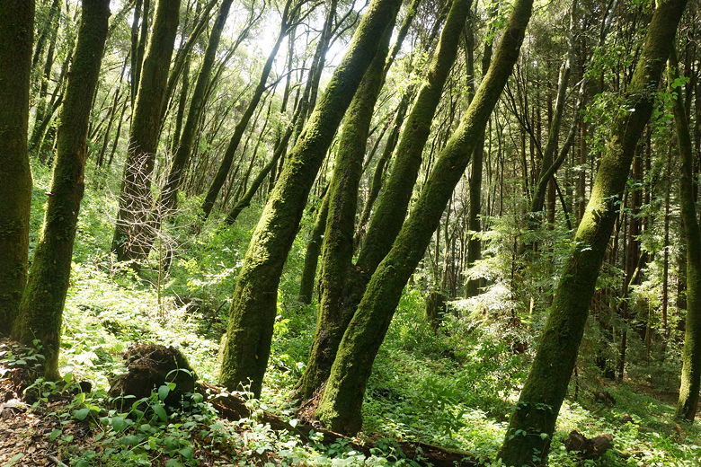
Mossy trees after the redwoods
The next trail intersection is not until about 4.4 miles into the hike. The Ridge Connection Trail
leads downhill to the right toward the Loma Prieta Grade. We stayed straight,
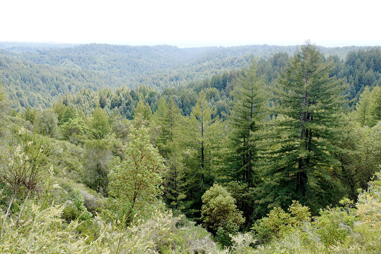
heading up toward Hinckley Ridge. We finally started to see some breaks in the forest,
with views of the Pacific Ocean to our right. I also started to notice tire treads on
the trail, which surprised me a little since I didn't think bikes were allowed
on the trail here (they aren't). We did in fact run into one cyclist on the West Ridge Trail
single track section (before the trail camp).
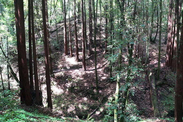
Further up the trail
Nearing the Ridge Connection intersection
View from Hinckley Ridge
View from Hinckley Ridge
We finally reached the West Ridge Trail Camp at about 6.4 miles into our hike.
This is a reservable camp available to backpackers or bike campers. We had considered
using the picnic tables here for our lunch. However, there was a group already camped
here. Though they weren't using the tables at the time, I figured they wouldn't appreciate
a couple of kids bothering them (especially with one of them prone to saying "Because I'm
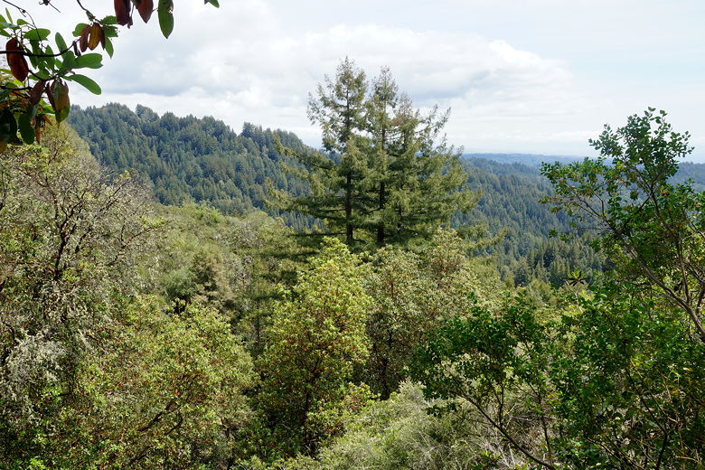
Batman!" repeatedly). So we kept going on to Sand Point Overlook. There are two benches
here with a great view of the forests leading to the Pacific Ocean.
Continuing along the West Ridge Trail
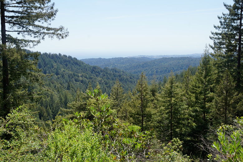
View from Sand Point Overlook
We saw several mountain bikers and a couple hikers at the overlook. After our lunch
break, we started the downhill hike at around 3:15pm. I knew it would be easy going
since it was downhill and all on a wide fire road. The trail twists and turns as it
descends back to the start, but it is pretty easy. Of course we shared the trail with
mountain bikers. I must admit it's not my favorite thing, having to listen for
mountain bikers coming downhill at speed while I'm hiking. I might actually have
preferred just doing an out and back, using the West Ridge Trail in both directions,
but I know that would have been harder.
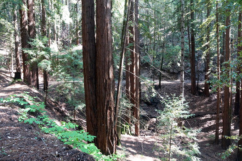
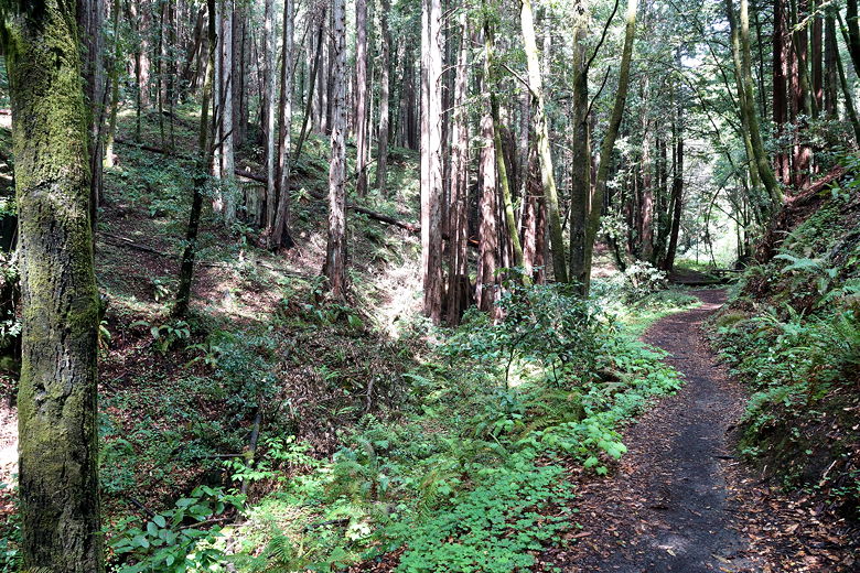
Redwoods
The cyclists in general were all pretty good (except perhaps for a couple of young teen
boys going down a bit too fast). We passed a trail intersection where the Big Slide
Trail is accessed to the left. That would be an alternative to the fire road, but
since it immediately starts climbing, it wasn't very inviting. We stuck to the
Aptos Creek Fire Road instead. There is one fairly steep downhill section near the
middle, but otherwise the descent is pretty gradual.
Redwoods
Near the bottom of the steep section is a bike rack, an interpretive display sign,
and a trail that leads to the Loma Prieta Earthquake epicenter. Again, we just
stuck to the fire road. We took a brief snack break at the Loma Prieta Mill Site
(there's a sign here, but not much in the way of ruins). One thing I noticed is that
the trail started getting dark even at around 4:30pm. The forest cover is that
great.
We left the mill site at about 5:40pm. It only took us about 35 minutes from there to
reach our car. If I had to do it again, I might park at the Porter Family Picnic Area
instead to shave off about 0.8 miles. As it was, the entire loop was 14.4 miles
(the book I had said it would be 12.5 miles). Starting at Porter would have cut it
to about 13.6 miles.
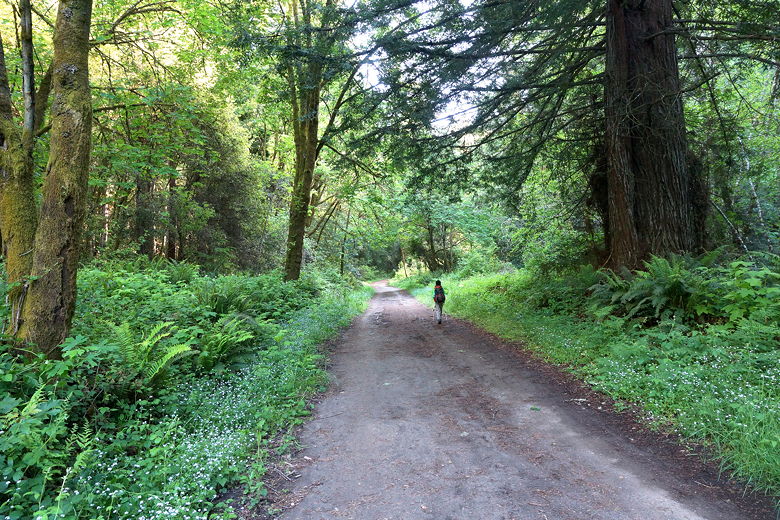
Heading down the Aptos Creek Fire Road
Aptos Creek Fire Road
Bridge over Aptos Creek Fire Road
| 

