|
We parked at the southern parking lot to the preserve (there's another parking lot
at the northern end) on Skyline Boulevard. The small lot was full, and cars were
parked by the side of the road on both sides of Skyline. We found a spot not too far
from the parking lot. Still, it was a little unnerving getting our stuff ready as
cars zipped by at 60 miles per hour.
It was well past noon by the time we headed off on the trail. It
shortly reached an intersection near the road, with the Purisima Creek Trail leading
down to the left (there's a picnic area straight ahead). There's also a bathroom
here, though if the smells outside are any indication, you probably don't want to use it.
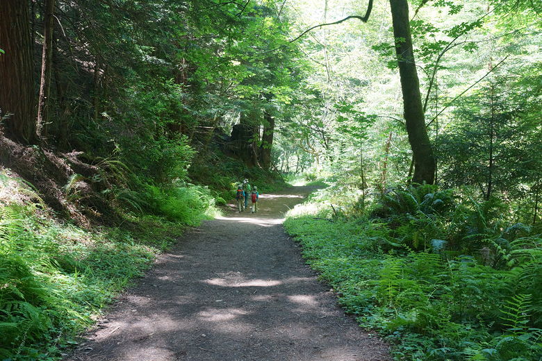
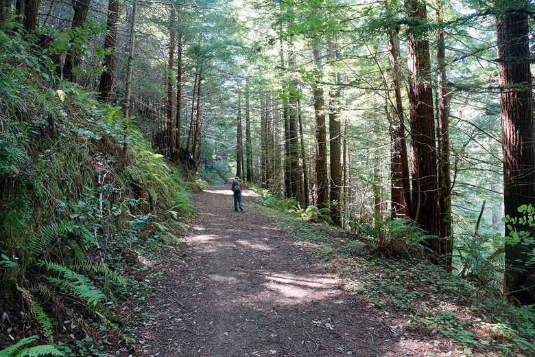
We took the Purisima Creek Trail, descending the wide dirt fire road as it passes
through the forest. There are occasional unshaded spots, but for the most part it is
shaded. The grade varies from moderate to moderately steep. In all, it descends from
just over 2000 feet at the top to just over 600 feet at the bottom (and oh yes, remember
you have to climb back up on the way back).
The trail is quite popular and we passed many groups of hikers large and small in both
directions. If you're looking for a bit more peace and quiet, come early or late in
the day, or on a weekday. After about 1.8 miles, we reached another trail intersection.
To the right is a hiker-only trail, the Craig Britton Trail. We stayed on the Purisima
Creek Trail to the left.
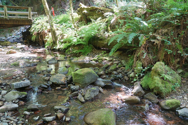
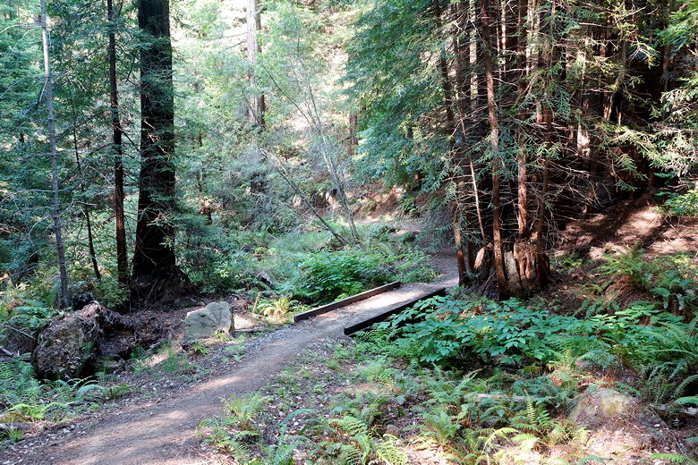
After a short steep descent, we came to a nice view of Purisima Creek crossing
under the trail. From this point on, the trail closely follows the creek and there
are nice views of it along the way, with occasional bridges crossing it. The water
was still flowing appreciably now in mid-June, though I'm sure the flow is much more in
winter.
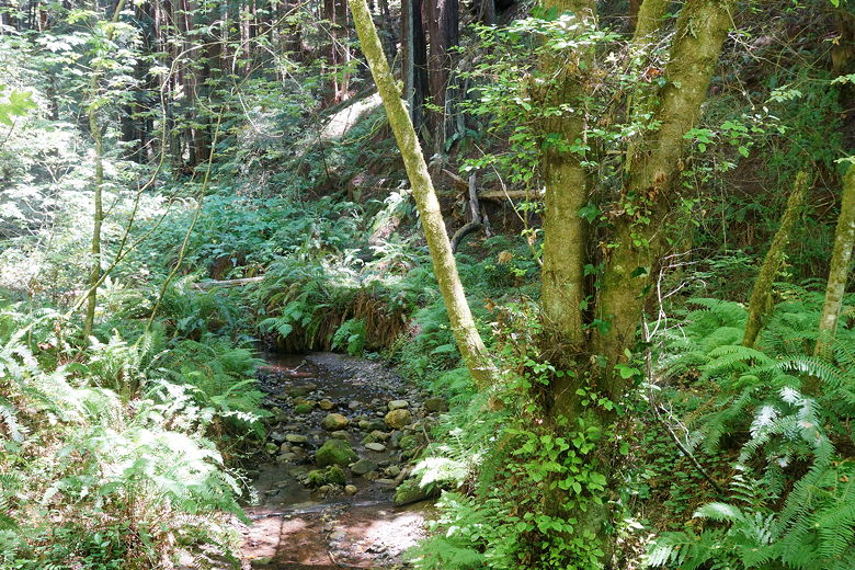
First good look at Purisima Creek
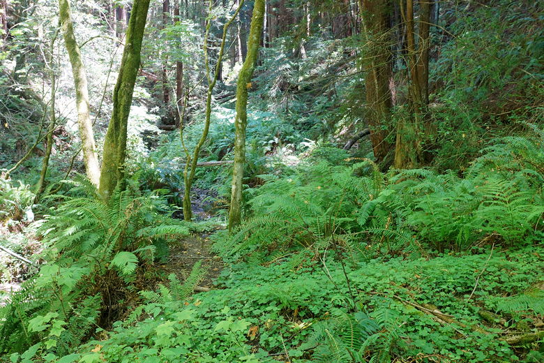
Ferns next to Purisima Creek
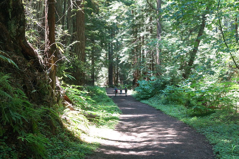
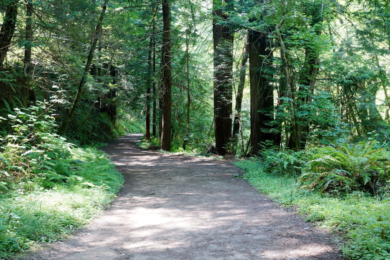
Purisima Creek Trail
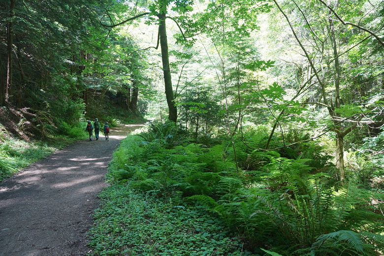
Purisima Creek Trail
Purisima Creek Trail
We stopped near one of the bridges for a late lunch break. Afterwards we returned to
the trail. After passing the Grabtown Gulch Trail intersection, we shortly came to the
Borden Hatch Mill Trail intersection. We turned left to start a roughly 4 mile
loop section that would exit at the Grabtown Gulch intersection we'd just passed.
Purisima Creek near the bridge
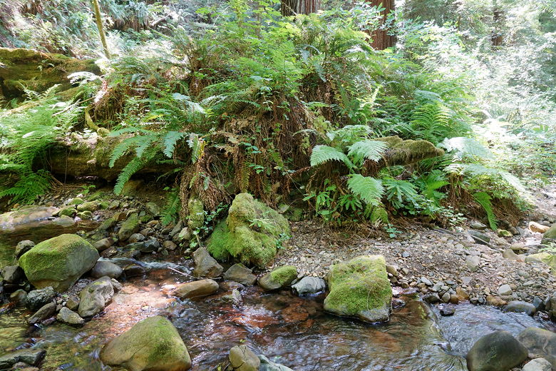
Ferns at Purisima Creek
Purisima Creek Trail
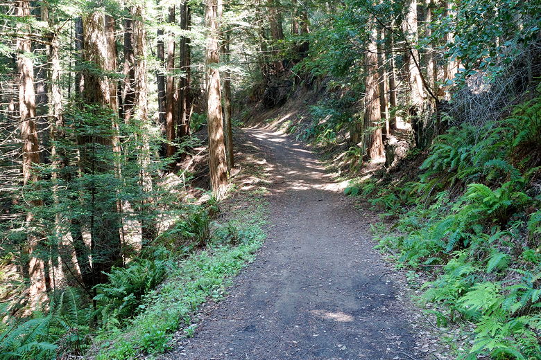
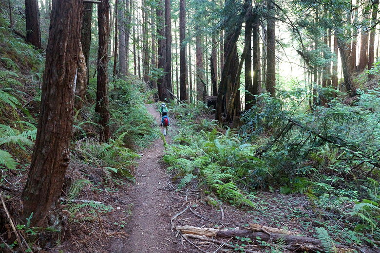
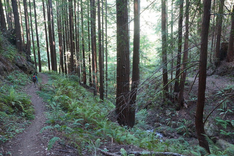
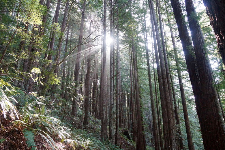
The Borden Hatch Mill Trail climbs for about 2.5 miles, up about 1000 feet. For the
most part, there are no creeks to see and no views. There are some nice sections of
redwood forest. One of the best parts of this trail, however, is that you escape the
masses that are on the Purisima Creek Trail. We only saw about 8-10 people
(hikers and mountain bikers) on the loop.
Borden Hatch Mill Trail
Borden Hatch Mill Trail
Young trees along the Borden Hatch Mill Trail
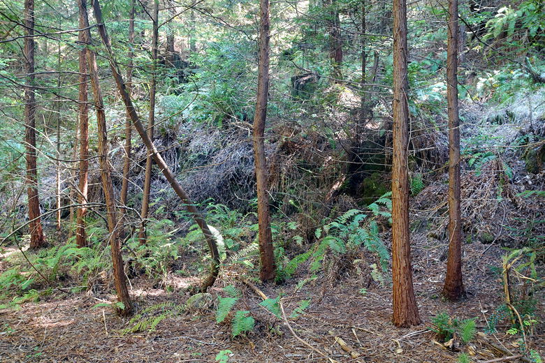
After 2.5 miles we reached a trail intersection, took the left fork and climbed briefly
for another 0.2 miles before reaching a wide open clearing. Two mountain bikers were
just leaving as we arrived. We had a short snack break before descending the Grabtown
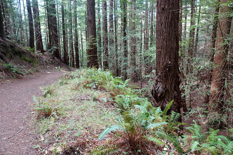
Gulch Trail. I would say that the Grabtown Gulch Trail is much prettier than the Borden Hatch
Mill Trail, especially as it approaches the Purisima Creek Trail. There are lots of ferns
and redwoods here.
Looking back down the Borden Hatch Mill Trail
Bridge on the Grabtown Gulch Trail
Grabtown Gulch Trail
Grabtown Gulch Trail
Sun peering down on Grabtown Gulch Trail
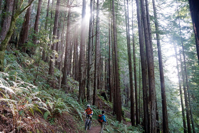
Mountain biker passing us on Grabtown Gulch Trail
We teached the bottom of the descent and turned right back onto the Purisima Creek Trail.
From there we started the long 1400 foot climb back up to the parking area. Along the way
we saw a small rubber boa snake on the trail, a dead rat (yuck!), and a few people strolling
down the trail even as it approached 7pm. Back at the parking lot, nearly all the cars
were gone from the lot and along Skyline Boulevard.
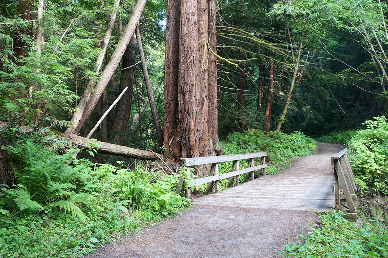
Bridge on Purisima Creek Trail
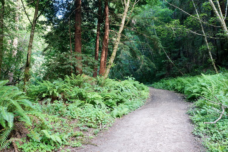
Purisima Creek Trail
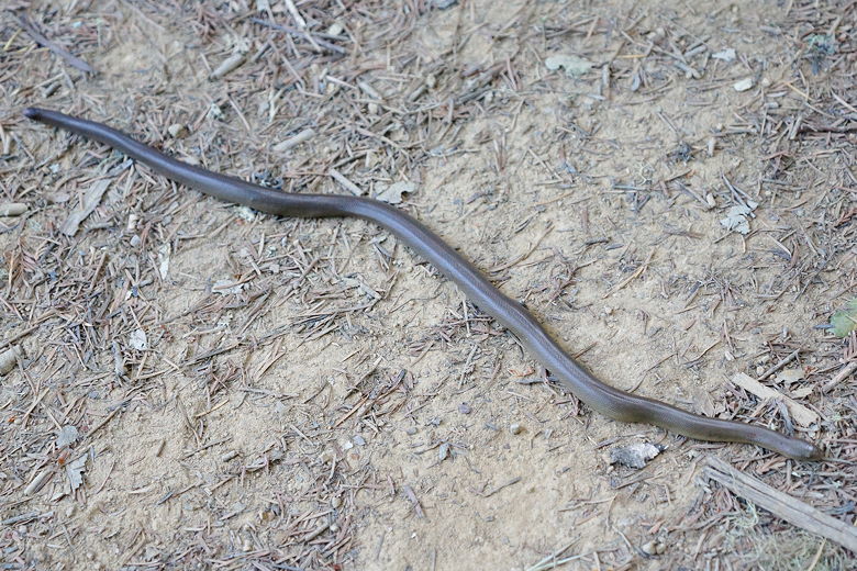
Small rubber boa on the Purisima Creek Trail
| 

