|
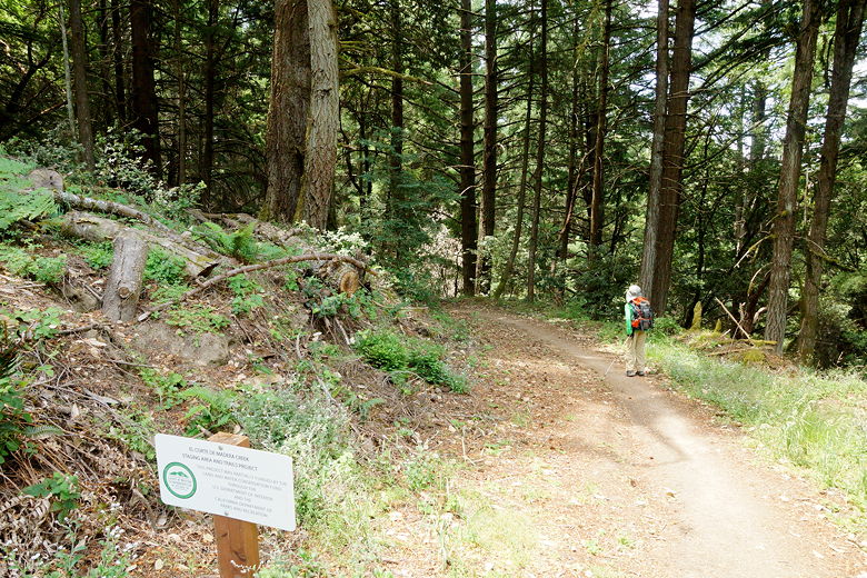
We started off from the new parking area at the Sierra Morena Trailhead
(the southernmost entrance to the park on Skyline Boulevard). There
were only a handful of cars here on this late Thursday morning.
It was quite warm as were started the hike, but the hike is mostly
shaded. The trail starts off relatively flat for about 0.3 miles as it
mostly parallels Skyline Boulevard. There are some brief views
looking down toward the coast, but nothing spectacular.
At a large intersection near Skyline, we turned left and started
descending the Oljon Trail. After about 0.6 miles, we turned
right onto the Steam Donkey Trail. We stayed on the Steam Donkey
Trail as it intersects into the Gordon Mill Trail. After about a mile
on the Steam Donkey Trail, we made a wrong right turn toward the Gordon Mill Trail;
after 0.1 miles we backtracked and continued toward the Spring Board and Blue
Blossom Trails. After about 0.8 miles of mostly uphill (the map says 0.4 miles, but the GPS says
otherwise), we reached the intersection of
those two trails and stopped for lunch.
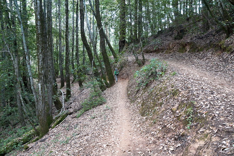
Heading down the Oljon Trail
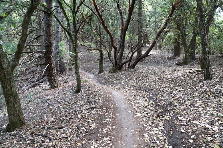
Further along the Oljon Trail
This park is very popular with mountain bikers, even more so than nearby
Purisima Creek OSP. Although you'll encounter fast bikers on singletrack trails,
the ones we ran into were courteous and slowed down as they passed. We
made sure to let them know how many hikers were ahead of them, and they
let us know how many bikers were still behind them.
We also found two dead rats on the trail, which is interesting since the only other
dead rat we'd seen on a trail before was last month in Purisima Creek OSP, which is
nearby. I wonder if there's something killing them... We also sadly saw a butterfly
that looked like it might have been wounded, and then later a snake that looked to
be dead on the trail. I wonder if the drought had anything to do with this, or if
it was just coincidence. I'm sure animals die out here all the time and we just don't
notice.
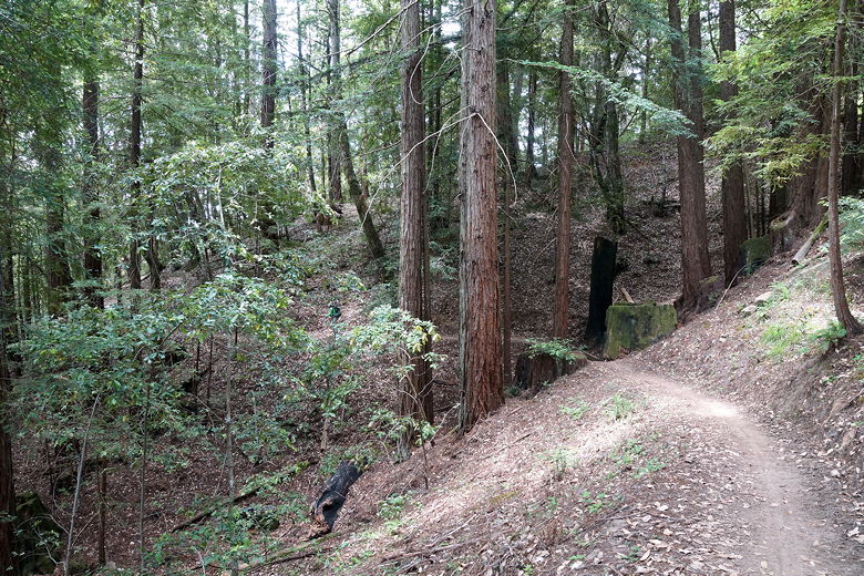
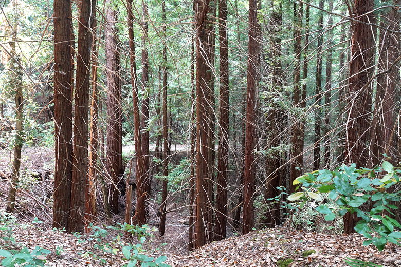
Through the forest
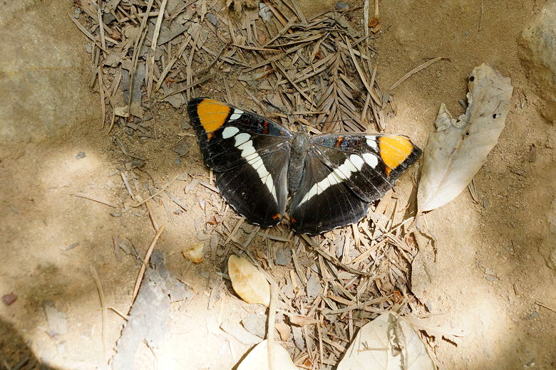
Butterfly on the trail
After lunch, we took the Blue Blossom Trail (both trails go to the same
location, and in about the same distance). The trail starts out flat but
then starts climbing again. After about 1.2 miles we reached the top near the
intersection with the Spring Board Trail. From here, we continued along
the Lawrence Creek Trail, which starts a long descent.
We didn't really see much in the way of water on this hike. I'm sure it's
nicer in winter, but in general the vegetation and views here don't compare
to Purisima Creek OSP.
Redwood forest
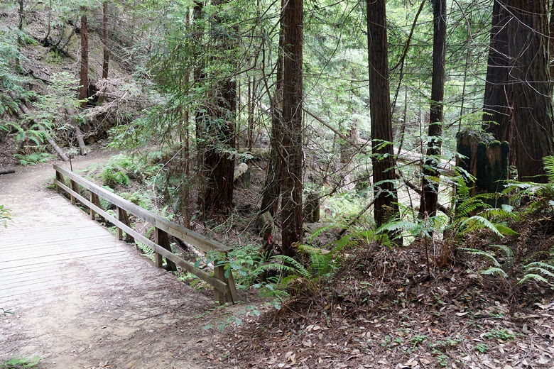
Footbridge
After about 2.1 miles on the Lawrence Creek Trail, we reached our next intersection.
The Virginia Mill Trail continues to the left (toward Star Hill Road); after a
brief break we took the right trail toward the Gordon Mill Trail. The trail continues
the descent for about 0.4 miles, then starts the long climb back up (steep at times).
We climbed about 900 feet up in the next 1.7 miles. Along the way we turned
left onto the Timberview Trail, then right to stay on that trail.
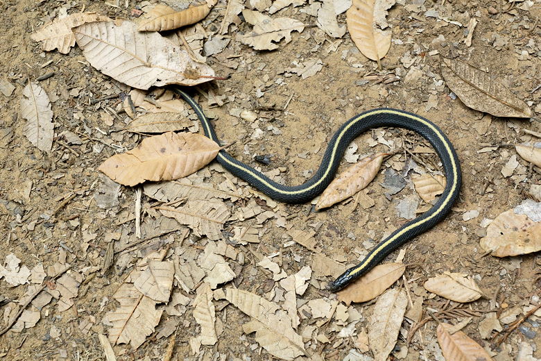
Dead snake on the trail
After all that ascent, the trail flattens out briefly. We somehow passed right by
the Old Growth Redwood without seeing it (hard to see if you're not looking for it,
as we didn't notice any sign). We then turned right onto the Crosscut Trail, then
right onto the Crossover Trail,
which descends (but not steeply). We started seeing more late mountain bikers
(probably people getting off work).
Heading onto the Crossover Trail
After a brief snack break at the bottom, we continued on the Gordon Mill Trail toward
Skyline Boulevard. It pretty much climbs from here on out. Soon enough we reached
the end of our loop (the intersection where we'd taken the Oljon Trail), then took
the final 0.3 miles to the parking lot.
| 

