|
I try to make it a point to never do the same hike twice, though
I have made a few exceptions. Since I hadn't done this hike in nearly
20 years, I'd hardly taken any pictures at the time, and the rest of
my family had never done it, I figured now would be a good time to
do the Trail Camp Loop in Castle Rock State Park.
Little did I know, everyone else thought today would be a great day
to visit Castle Rock State Park, as well. The parking lot was full
and most of the overflow parking was full as we pulled in around 3pm
on a hot July 3rd. Since July 4th fell on a Saturday, most people
got the 3rd off, so it was more like a weekend crowd.
We saw lots of younger folks with crash pads for bouldering (the park
is very popular with rock climbers). We prepped and got started off
on our hike at 3:30pm. All the trail maps at the trailhead were gone,
but thankfully I'd brought my old one and not much had changed.
We started at the trailhead right next to the parking lot entrance,
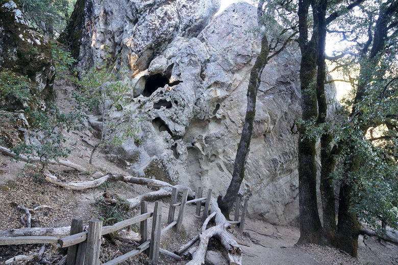
heading toward the left uphill toward Castle Rock. After about 0.3 miles
we reached Castle Rock. People milled about, some resting, some taking
a break from bouldering, some bouldering on the side of the rock we couldn't
see, some just walking through. We walked around for a bit before continuing
on the trail.
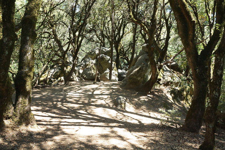
Rocks near Castle Rock
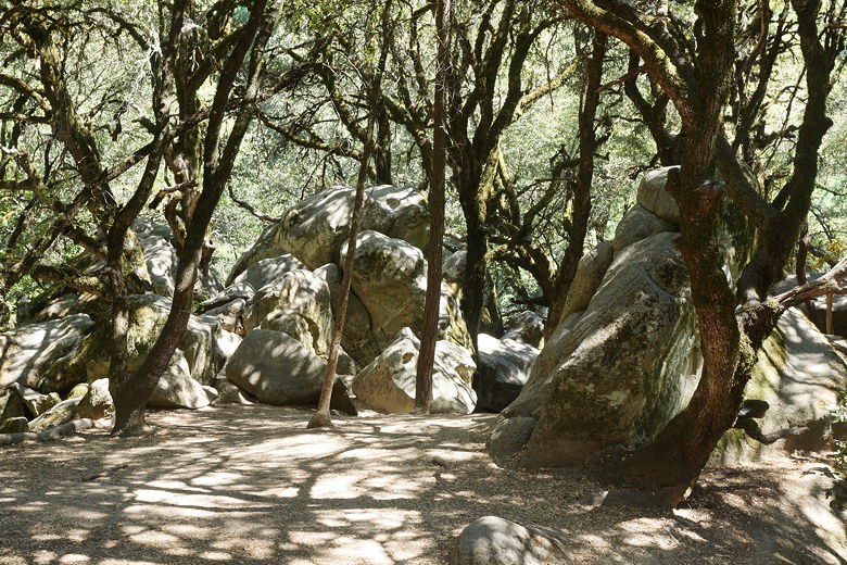
Rocks near Castle Rock
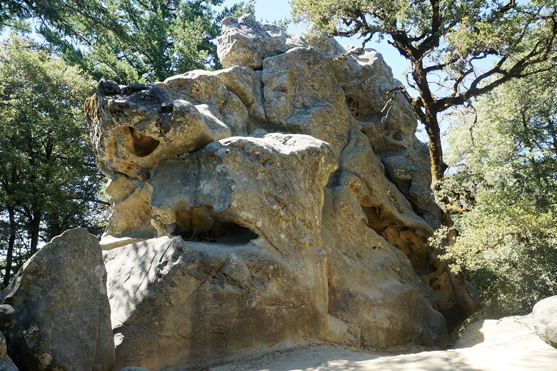
Castle Rock
The trail now starts descending and, about 0.9 miles from the trailhead reaches
an intersection. We turned left to continue descending on the Saratoga
Gap Trail. The shade continues as the trail soon follows a creek. We
came to another intersection, turning left to start the main loop portion of
our hike. At 1.5 miles from the trailhead, we reached a platform overlooking
Castle Rock Falls. Of course, in July the water was barely a trickle. There's
still a nice view of the mountains to the west here, though.
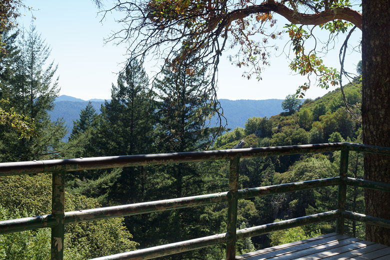
View from the falls overlook
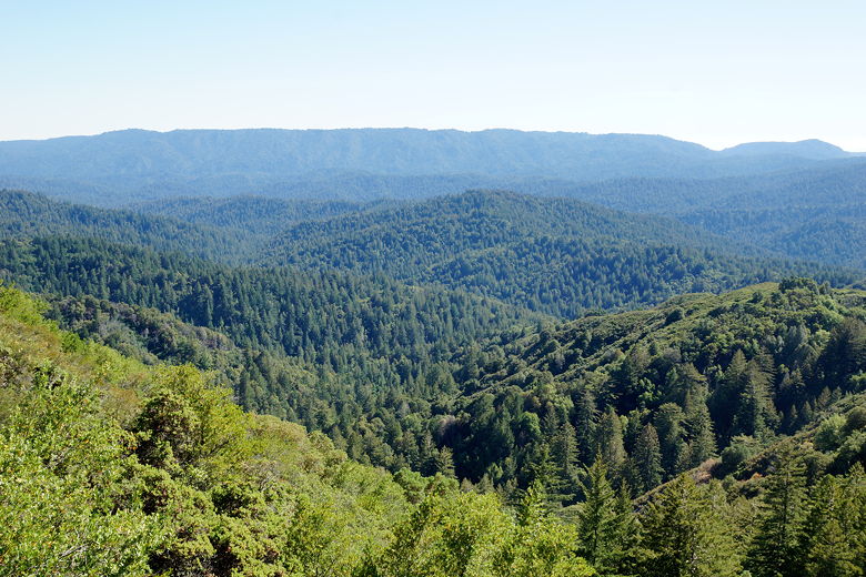
After a short break here, we continued along the trail, which provides increasing views
of the mountains to the south and west. The trail also becomes exposed to the
hot afternoon sun. I'm guessing it would be nicer to do this part of the hike in the morning.
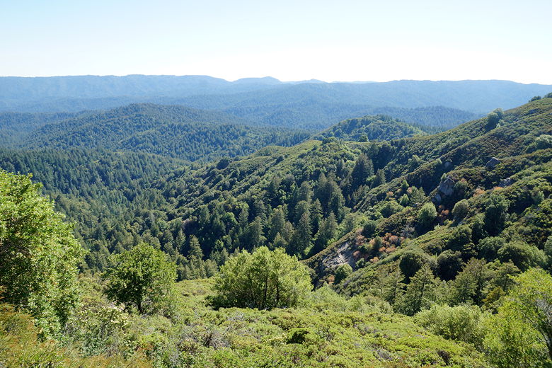
View from Saratoga Gap Trail
View from Saratoga Gap Trail
Ridge to the west
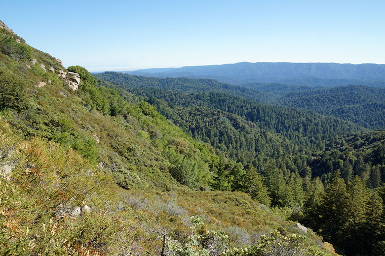
Looking back southwest along the Saratoga Gap Trail
There's a connecting trail that leads to the Ridge Trail and back toward the parking area,
but we continued straight on the Saratoga Gap Trail. About 3 miles into the hike the
trail veers right, away from the views and back into the forest. Shortly after that
we reached Trail Camp. We weren't actually camping here, so we turned right onto the Ridge
Trail to start the journey back.
Along the way we saw lots of manzanita as we climbed uphill. Bugs were a bit of an
issue, but not too bad. We passed the other end of the connecting trail and stayed
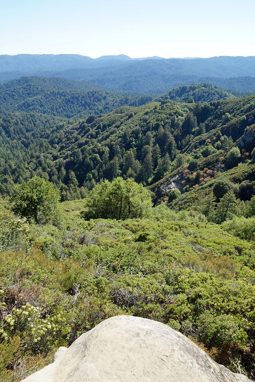
on Ridge Trail. About 4.6 miles into the hike we reached Goat Rock. We took some
time to play here, climbing up onto the rock and enjoying the expansive views.
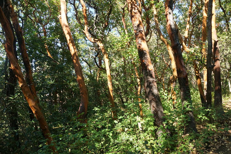
Manzanita
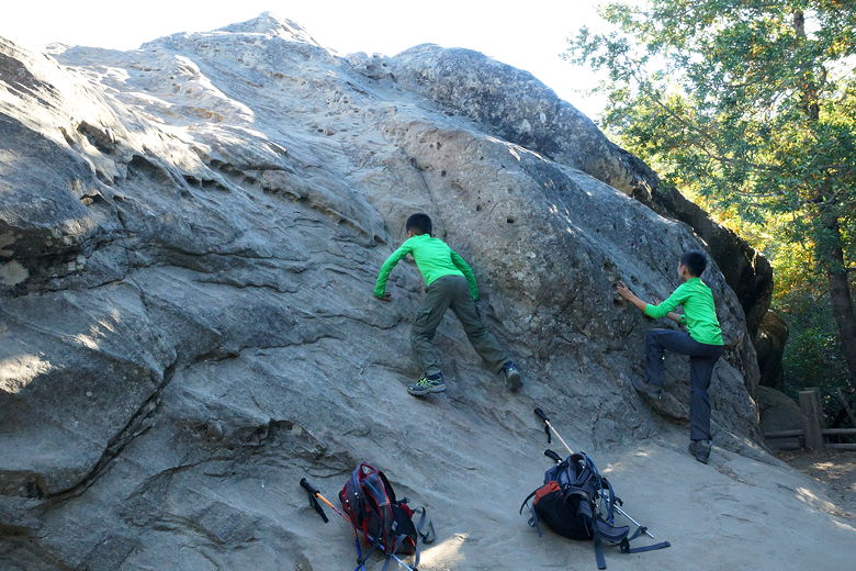
Climbing Goat Rock
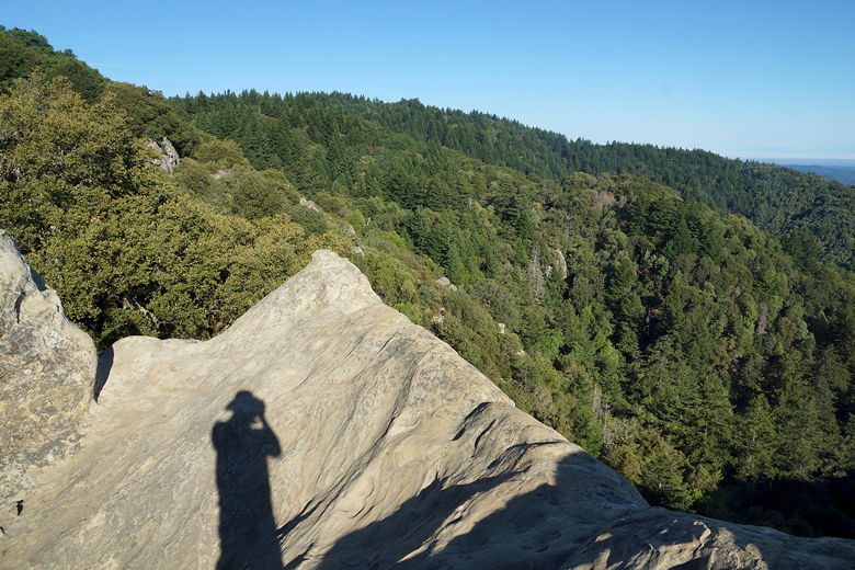
Shadow on Goat Rock
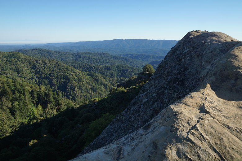
View from Goat Rock
Returning to the trail, we now descended until we reached the intersection with the
Saratoga Gap Trail, the intersection we had reached just before reaching the falls
viewing platform. We now turned left and headed uphill in the now very dark forest.
Rock formation next to Ridge Trail
Despite all the cars we had seen in the lot and all the people we'd seen up until about
Castle Rock, we hardly saw anyone else on the trail after the falls viewing platform
about 1.5 miles into the hike. When we reached the parking lot there were less than
half the cars left, but still quite a few. I wonder where all the people were. Maybe
some were camping at Trail Camp, maybe others were doing the Skyline to the Sea Trail, and
some were probably bouldering or rock climbing elsewhere in the park.
| 

