|
We arrived at the Big Meadows trailhead a little before noon. The parking lot was full
and there were cars parked along the side of Highway 89 outside the parking lot. We
found a spot on the dirt shoulder next to the campground road just outside the parking lot.
After prepping, we walked down to the parking lot and then to the southwest corner of
the lot, where the trail begins. There's a sign here with paper maps of the area.
We followed the flat trail to the highway, then carefully crossed Highway 50 on
foot. Cars go 50-60mph here, around a corner, so it's not the safest place to cross.
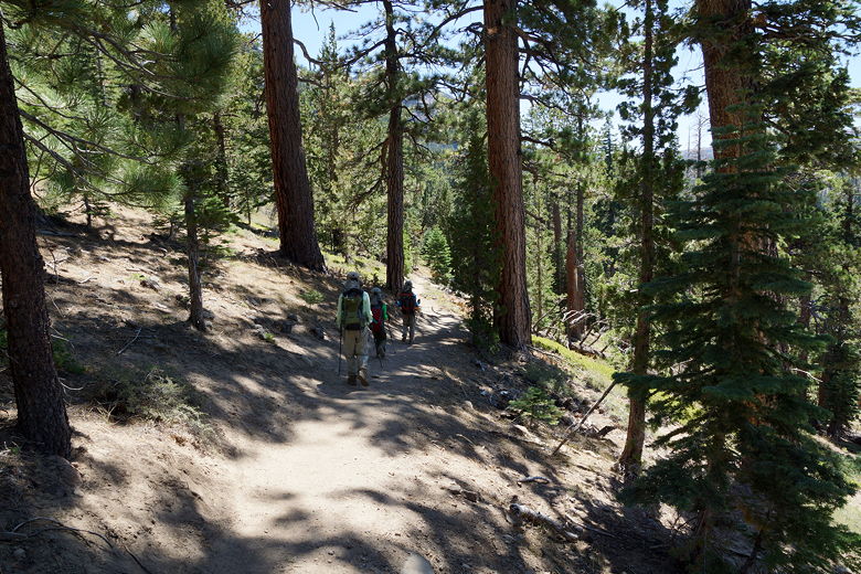
After crossing the highway, the trail starts to climb. The trail is shared with
mountain bikers, and a couple of them passed us here. In fact I was surprised
that we didn't see more mountain bikers on the trail - we'd only see about a
half dozen on this Labor Day weekend Saturday.
After climbing for about a half mile, there's a trail intersection. To the left
is a trail to Scotts Lake. We stayed to the right to continue toward Dardanelles
and Round Lake (the sign might also mention Meiss Lake). At this point the trail
levels out, crosses a creek over a footbridge (the creek was dry at this time), then
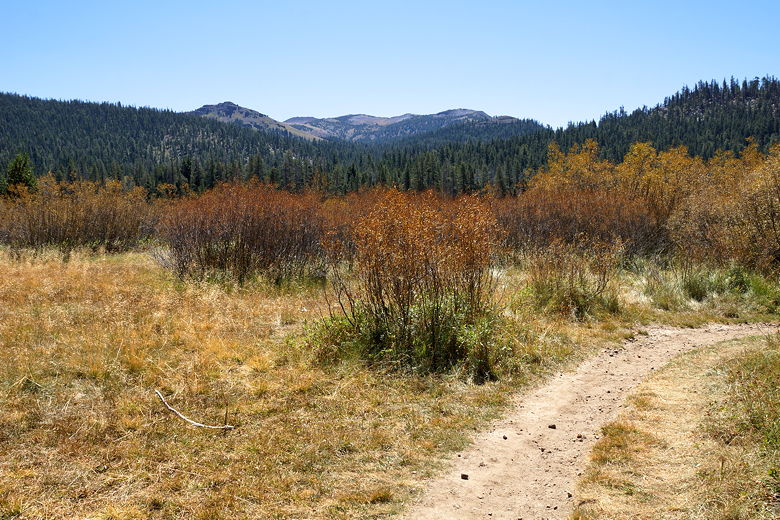
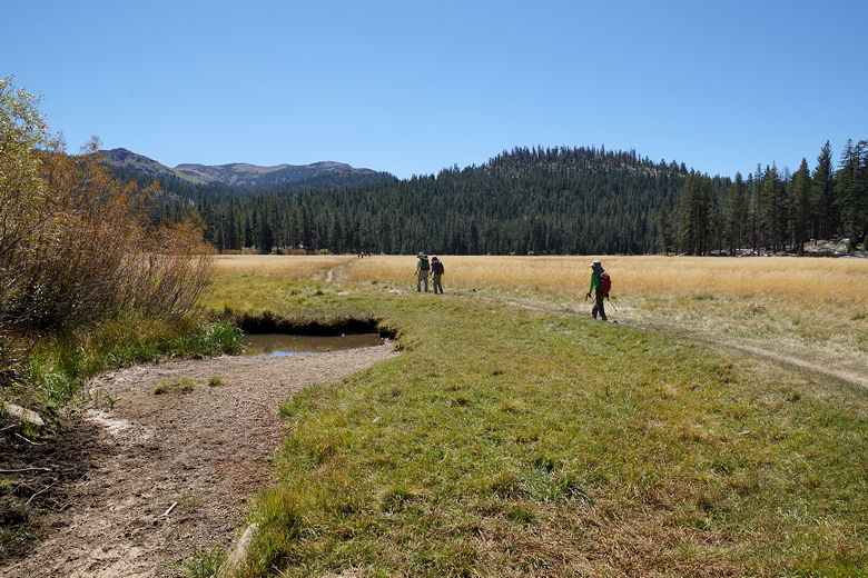
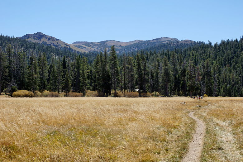
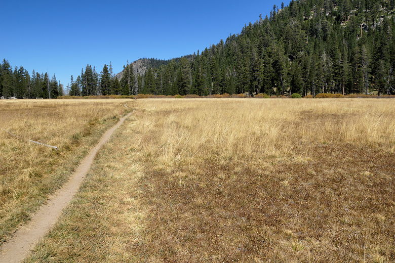
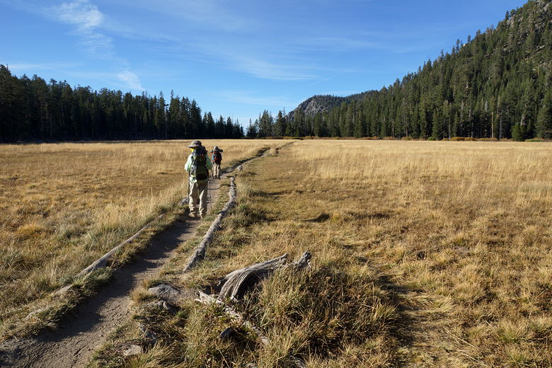
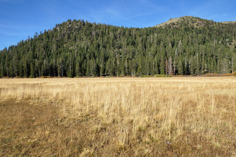
enters Big Meadow. The meadow was no
longer green on this September day - mostly brown. Still, we had nice views of
the surrounding mountains as we walked through it.
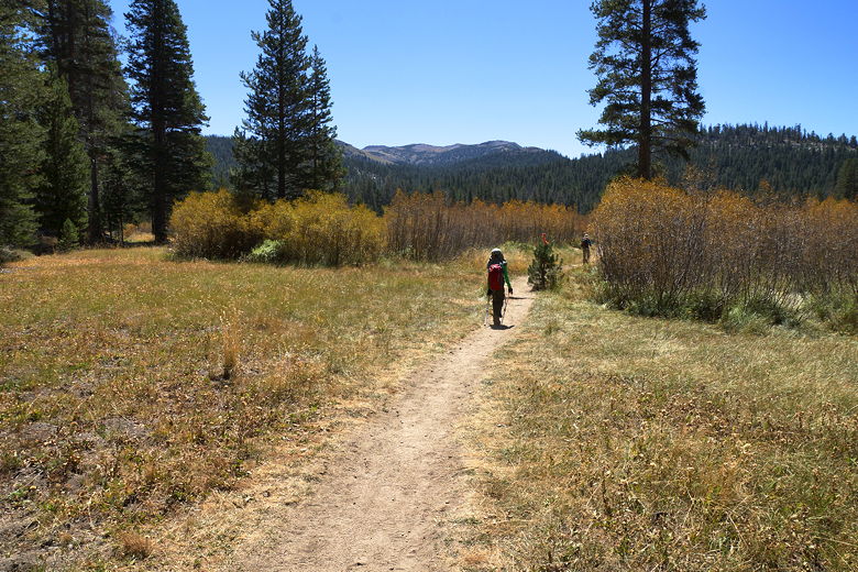
Hiking at the edge of Big Meadow
Approaching Big Meadow
After crossing the bridge into Big Meadow
Big Meadow
Looking back across Big Meadow
After the meadow, the trail re-enters the forest and continues to climb. After
cresting the climb, we started a descent on switchbacks. We had some views of
the mountains to the south over the tops of the trees. The descent is pretty short, and we soon came to another intersection at the bottom. We noticed signs and ribbons all along the trail that were directions for the Tahoe 200 Endurance Run that would be held the following weekend. It's a 200 mile race held over 5 days!
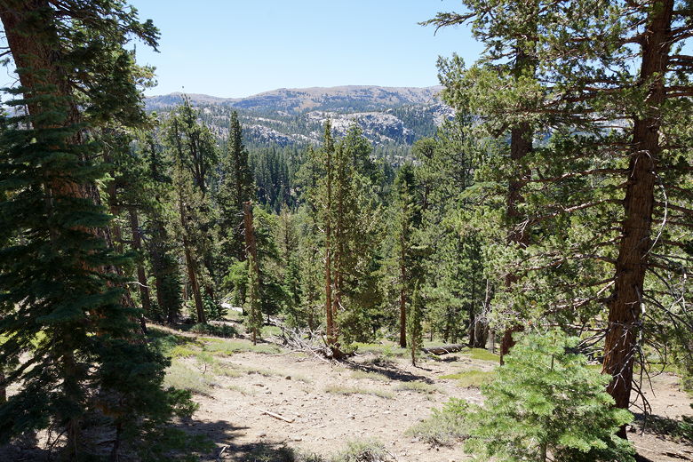
Looking south across the switchbacks
Down the switchbacks
We turned right and then a quarter mile later turned left at an unsigned
intersection. This trail would take us to Dardanelles Lake. It crosses
a stream (easily rock-hopped), then continues mostly flat for a while. There
were a few stream crossings on this trip, about half of which were completely dry and the other half easily rock-hopped. I doubt even during peak flow many of them would be a problem, but I am just guessing.
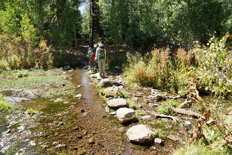
Across the stream toward Dardanelle Lake
The trail starts to climb a bit, but soon enough reaches Dardanelles Lake. There were people everywhere at the lake. There were day hikers and backpackers all around the lake. We saw several dogs, too - this seems like a great short backpacking trip if you have a dog. We walked around the northeastern shore of the lake (there's a use trail), then crossed a log to reach a flat rocky area that was perfect for a lunch break.
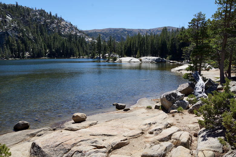
Dardanelle Lake
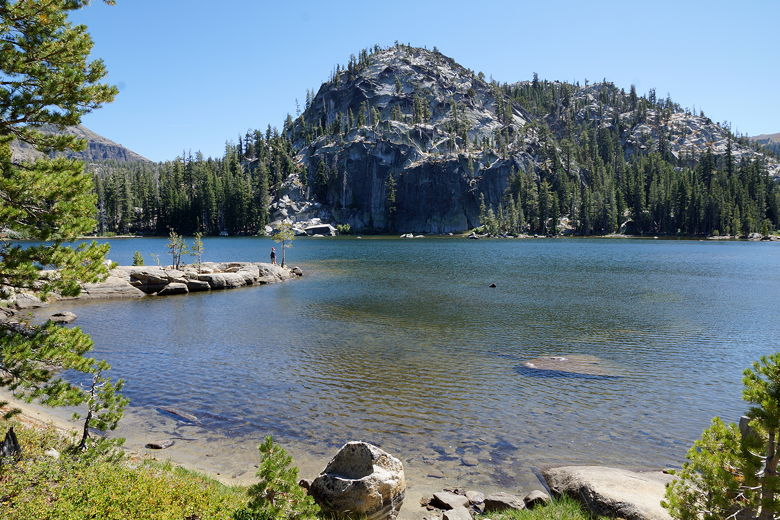
Dardanelle Lake
Dardanelle Lake
Dardanelle Lake
After our lunch break, we retraced our steps back to the main trail, then hiked back
toward the last intersection. Along the way we passed a large group of day hikers. If it's solitude you want, this probably isn't the trail you want. We crossed back over the stream, then turned right and then came to the intersection at the bottom of the switchbacks. Instead of turning left, which would lead back toward the trailhead, we turned right. From here, it's about 0.6 miles to Dardanelles Lake.
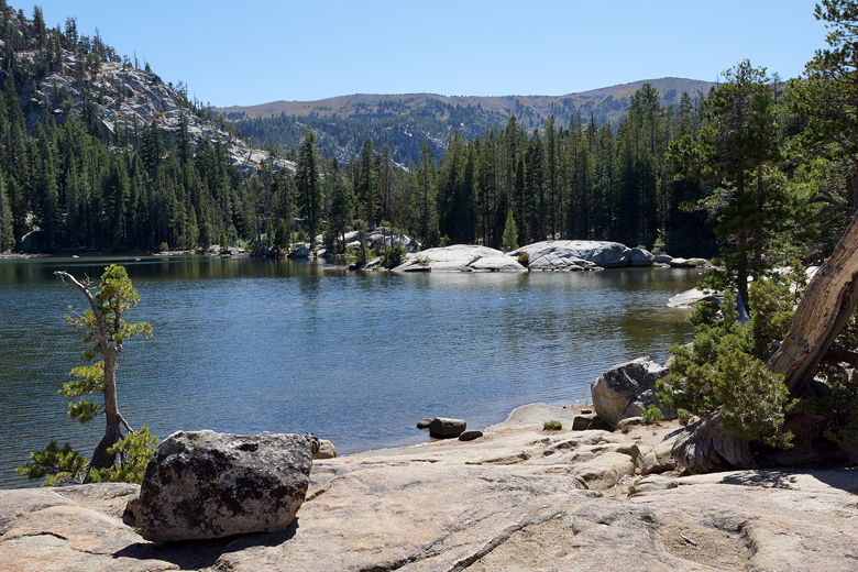
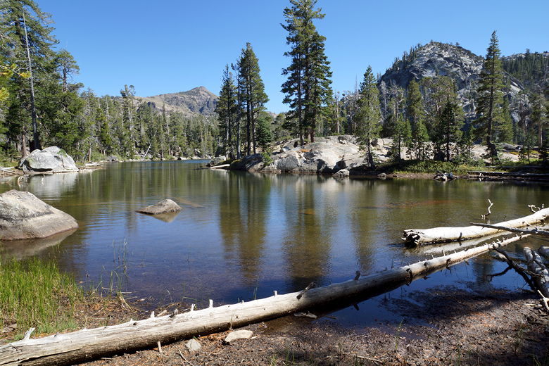
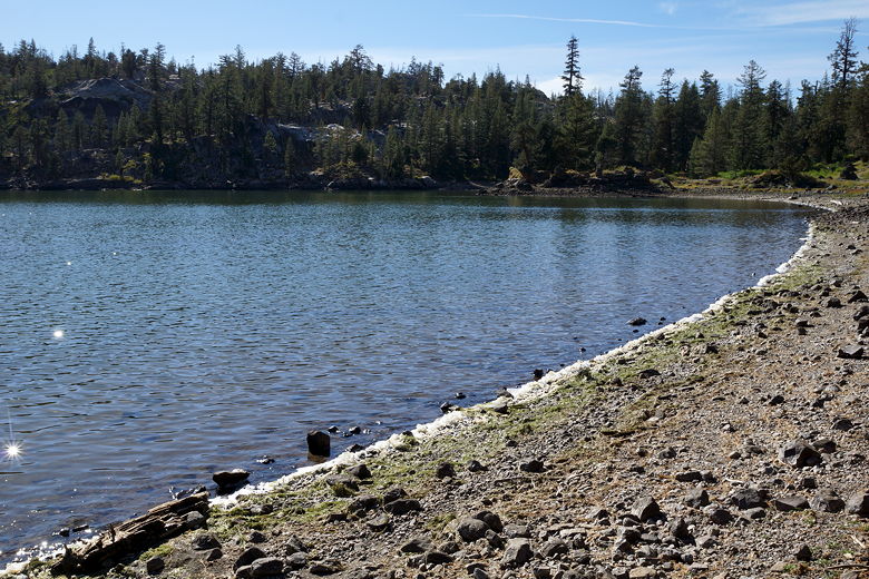
The trail is a mix of flat and some uphill, shortly reaching Round Lake. We took a use trail to the right along the northern edge of the lake. The lake isn't as pretty as Dardanelles Lake, and doesn't look as appealing for camping, as well. Still, it was nice to take a short break here.
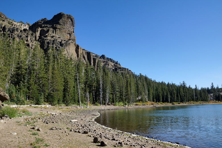
Round Lake
Round Lake
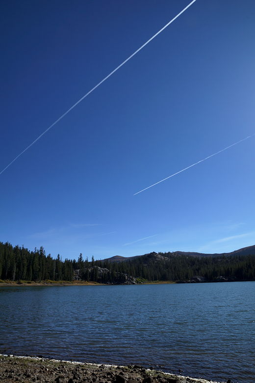
Contrails over Round Lake
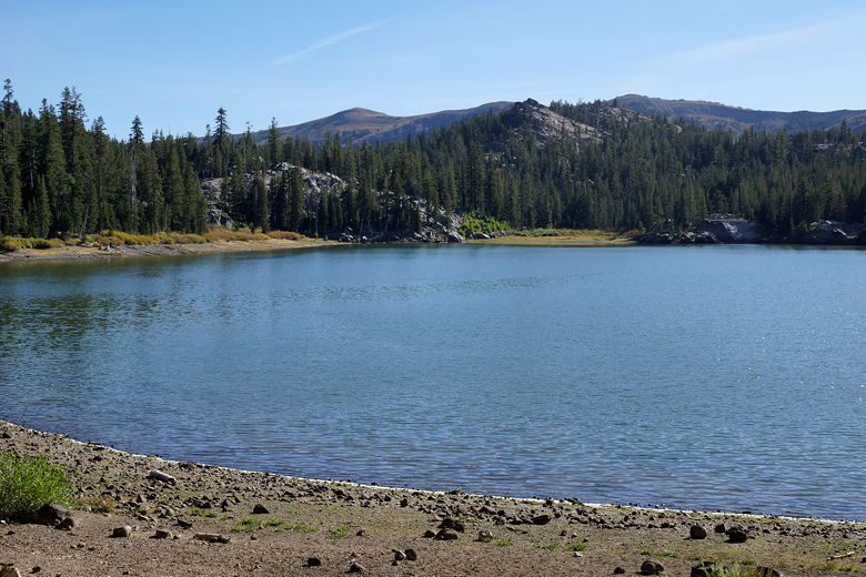
Round Lake
We retraced our steps back to the main trail, then took the trail back to the intersection, back up the switchbacks, and then downhill back to the highway. We crossed the highway and returned to our car near the parking lot.
Heading back across Big Meadow
Big Meadow
| 

