|
We arrived at the small parking lot at noon. There were about a half dozen cars in the
lot, but there was just enough space for us (and maybe one or two other cars).
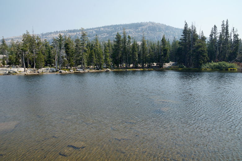
After we got ready, we could see Silver Lake to the west from the rocks. Then we headed
back down the dirt road and turned right at the trailhead, where a small sign says Granite
Lake is 1.4 miles away.
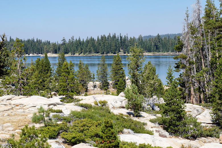
Silver Lake
The trail heads basically east, climbing gently. After about a quarter mile, the trail
veers right (south), then shortly comes to a small pond. It's not quite visible from the
trail, but I stepped quickly onto a side "trail" to get a view. Not much to see.
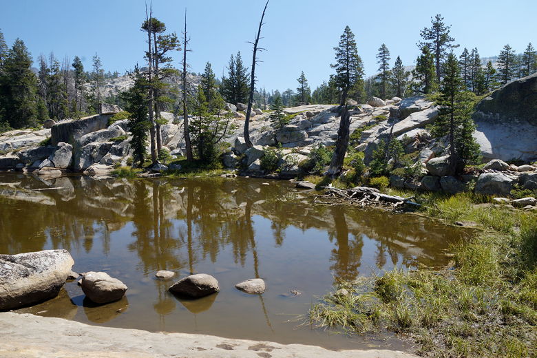
Pond
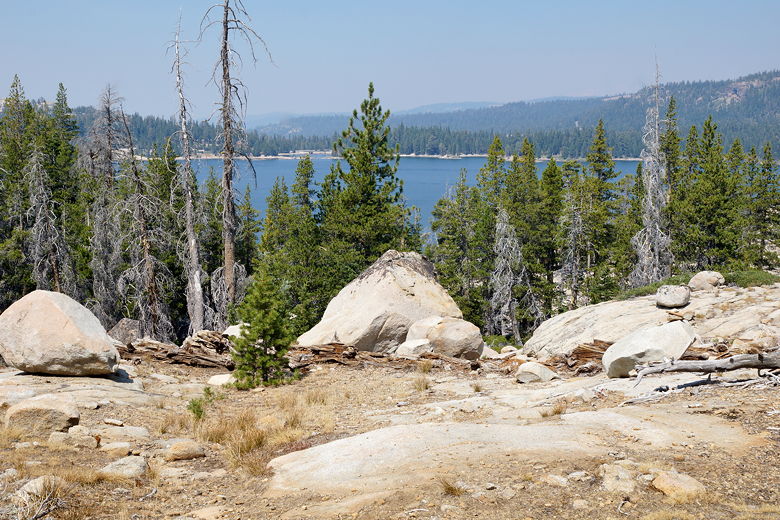
Silver Lake
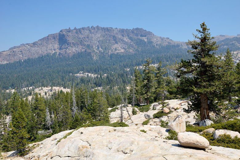
View to the northwest
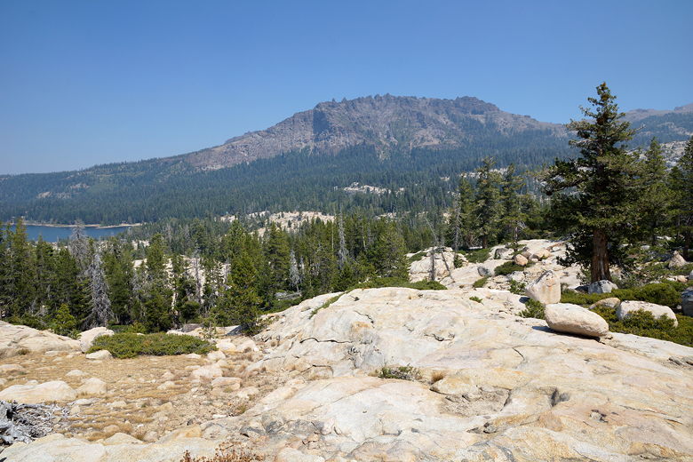
View to the northwest
Continuing along the trail, we passed a small meadow. Next we crossed a footbridge
over a mostly dried up stream bed about 0.6 miles into the hike. My old USGS map and
my GPS both told me that there would be a trail intersection shortly, with the left
fork heading to Granite Lake and the right fork heading down to the Silver Lake shore.
I kept looking for that intersection, but never found it.
We continued along the trail, hoping to find that intersection. The trail climbs
briefly, then starts to descend toward Silver Lake. At this point, we stopped. I
thought we had somehow missed the intersection. We saw two hikers approach us from
behind at this point. They were also heading to Granite Lake, but had never been there
before either. They said that they'd seen someone else come from the opposite direction
and had said this was the way to Granite Lake. I wasn't sure if they had mistaken it
for something else, though. Eventually they decided to keep going, but we decided to
turn around and look for that intersection.
We walked back about 0.4 miles to the spot where that intersection should have been -
and couldn't find it. Undaunted, I scanned in the direction of where the trail should
be, and eventually found some rock cairns. After a little more exploring to the east,
I eventually found the trail we were looking for. We followed it as it climbed up
toward Granite Lake.
The trail doesn't seem to be particularly well-maintained, as there were several
downed trees over the trail; however, there were obviously many sets of fresh
footprints as well, along with a fair number of cairns along the way. Soon
enough we crested the climb and found ourselves at the northern end of Granite
Lake.
A small group with horses and dogs was here. We skirted past them to a granite perch
jutting out into the lake. We sat down here for a lunch break. We saw tiny little
frogs hopping around in the water. We also saw the two hikers we'd seen earlier. I
would later find out (based on satellite maps) that we had actually turned around a
mere 100-200 feet from a trail intersection, the left fork going to Granite Lake. As
far as I can tell, the trail has been re-routed, and neither my USGS map or GPS has
reflected the change. Oh well. It probably cost us less than a half mile of extra walking.
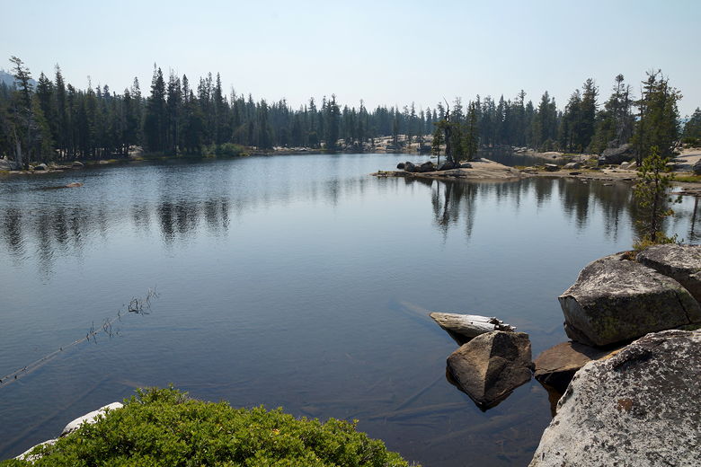
Granite Lake
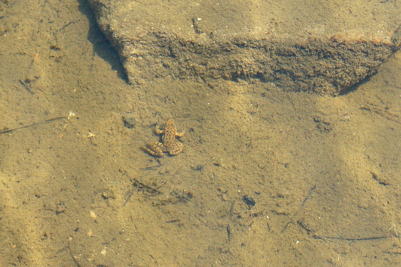
Frog in Granite Lake (taken by Nathan)
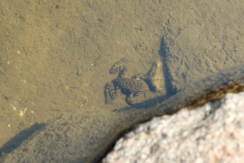
Frog in Granite Lake (taken by Nathan)
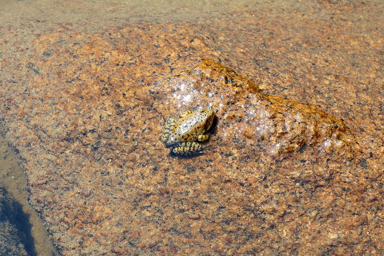
Frog in Granite Lake (taken by Nathan)
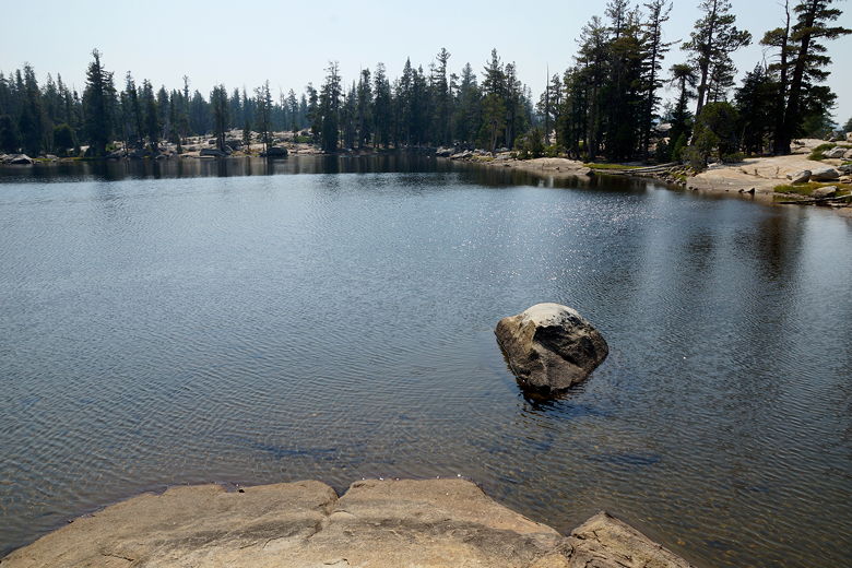
Granite Lake
Granite Lake
Granite Lake
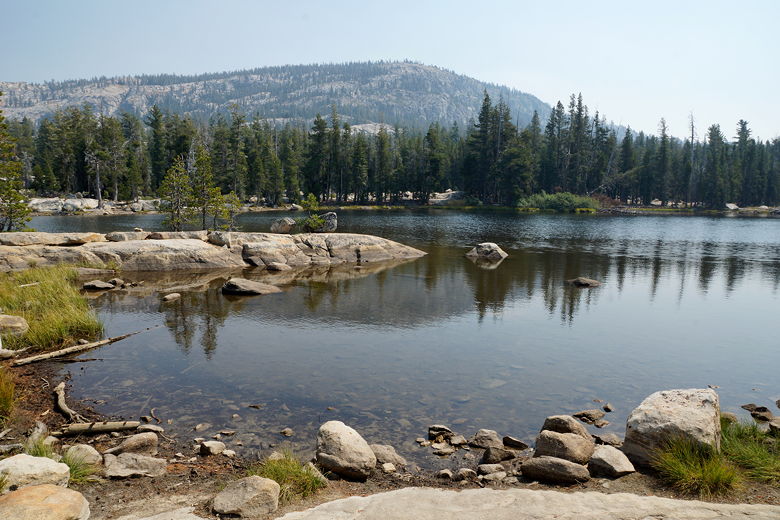
After our lunch break, we looked down at another small lake to the northwest. The main
trail skirts that lake (apparently incorrectly labeled Granite Lake in some places), but we
decided to return along the same trail we'd taken up
(given our experience going down from Ralston Peak yesterday). When we got to the
missing intersection, I still couldn't find the connection. The trail kind of
peters out here. My guess is that it's not maintained anymore and is not an official
trail, but many people still use it.
In any case, we made our way back to the main trail and back to the parking lot. After
a short hike on this hot day, we took the opportunity to visit Kit Carson Lodge
for some cold drinks before heading back home.
| 

