|
We parked at the Rush Creek trailhead next to Silver Lake around 11am. There were only 2 other cars there on this Tuesday early spring morning. Our plan had been to hike to Agnew Lake, but on the drive in on the June Lake Loop, things didn't look promising. There was still plenty of snow on the upper reaches of the mountains. I hadn't brought our snowshoes since I'd forgotten to bring gaiters, and I didn't want to deal with lugging them up if they weren't needed.
Still, we decided we would just start hiking and turn around if things got dicey. A woman drove up while we were getting ready; I asked her if she knew anything about the conditions, but she said she didn't. She had the same idea - just hike as far as seemed reasonable.
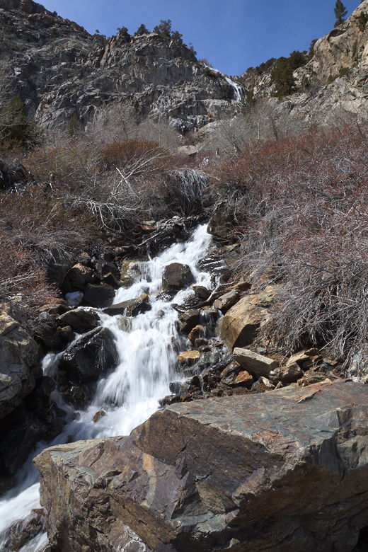
So, we started off on the trail on what seemed an unseasonably warm early April day. The skies were clear. While there was plenty of snow on the mountains to the south, the mountains north of us were devoid of any snow (not surprising, since they were south-facing slopes). Above us, we could see a fair number of waterfalls from the snow melt.
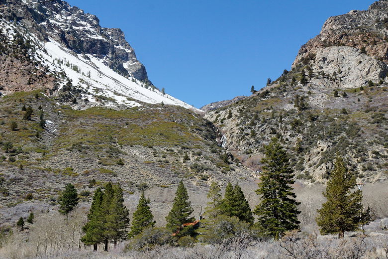
View to the west from the trailhead
View to the south
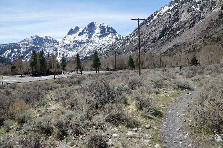
The trail starts out flat as it roughly parallels the road, heading south. It passes a trailer park and passes through a leaf-less aspen forest before starting a gentle climb. As we climbed, we got better views and also veered away from the cars on the June Lake Loop.
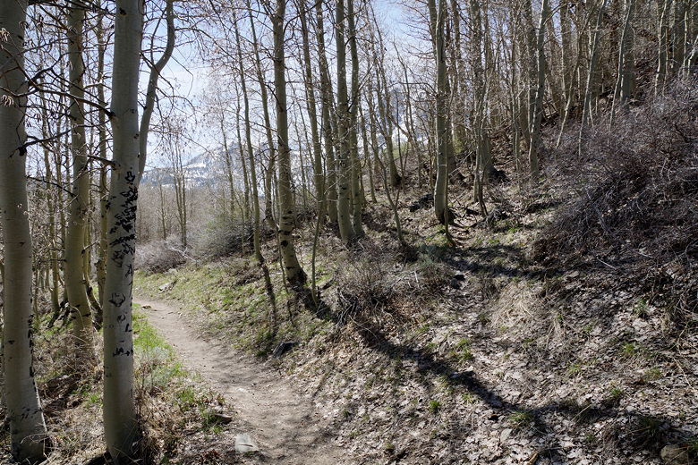
Through the aspen forest
Hiking south above the June Lake Loop
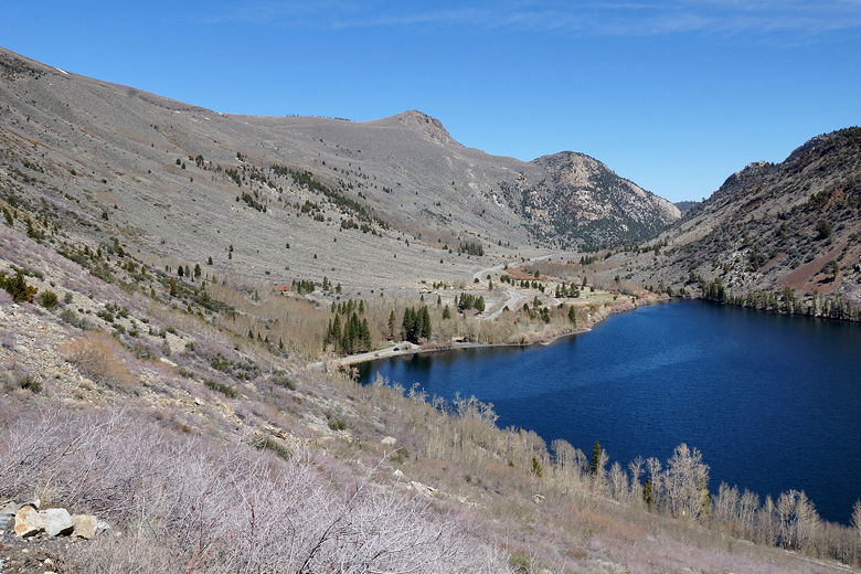
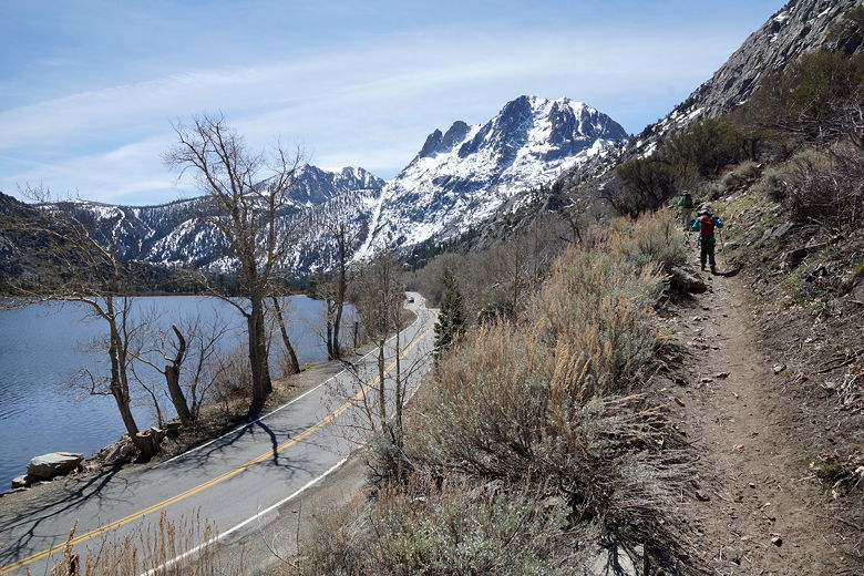
Looking back across Silver Lake
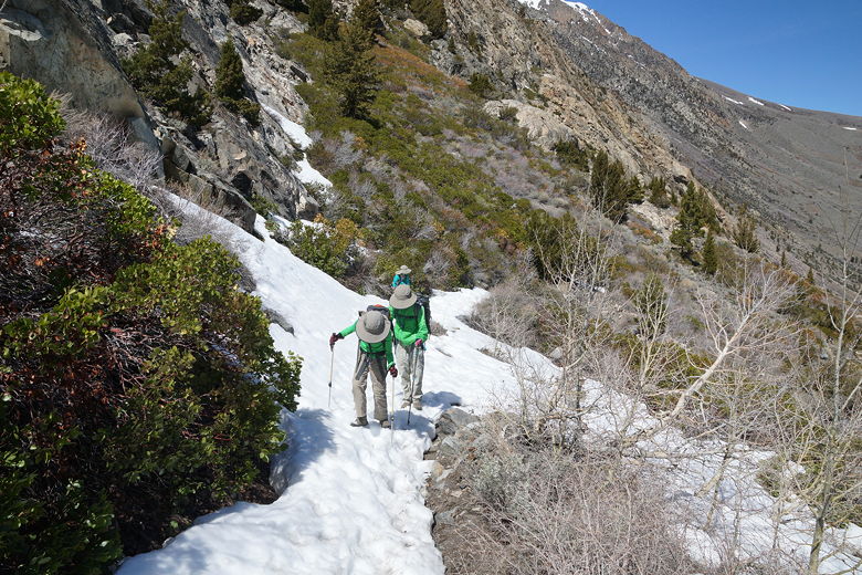
Soon we started to see patches of snow on the ground next to the trail. A little further and we started to have to walk on snow here and there. It was pretty easy to deal with, though. Small amounts of water (from snow melt) leaked onto the trail, but it was never a problem.
We passed the woman we saw earlier, then crossed over a small stream crossing the trail. It was easily crossed with one big step; it's probably even easier to cross in the summer. Still, it was nice to see the water cascading down from above.
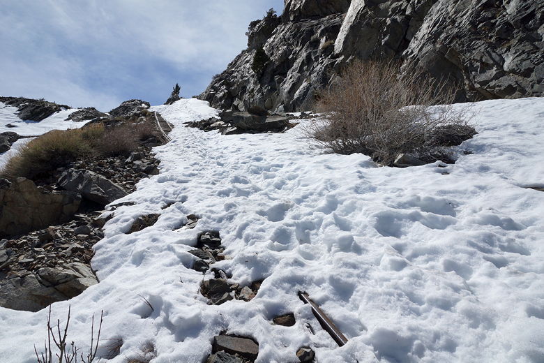
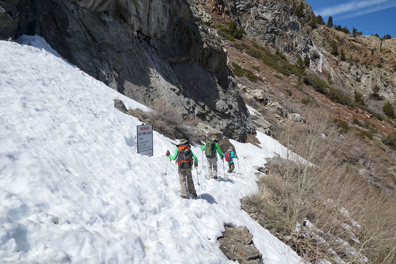
Up to this point things had been fairly easy. Now, however, we crossed a larger section of snow - sometimes sinking 2 feet deep into the snow. Then we came to a crossing of the tram tracks.
The tram had been built in the early 1900s for the hydroelectric dams of Agnew Lake and Gem Lake above it. The
tram tracks basically go straight up the mountain (no switchbacking). From previous bootprints in the snow it looked like people had hiked in the snow next to the tracks, straight up to the plateau above us. We tried following the trail, which switchbacks to and across the tram tracks. However, it soon became too covered in snow to be easily passable. The tram tracks looked very steep and we decided not to continue.
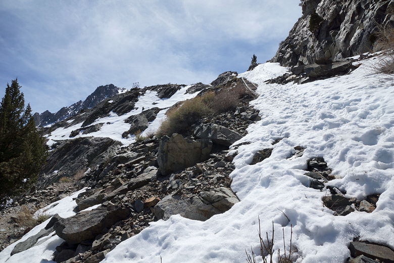
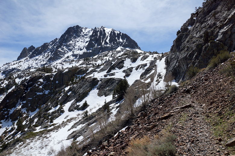
At this point we were less than half a mile from the lake, but still had about 400 feet of steep climbing through snow ahead of us.
It's possible we might have turned around even with snowshoes, but I don't really know.
Trudging up the snow-covered trail
Looking up at the snow-covered tram tracks
Instead, we turned around and headed back, stopping for a much-needed lunch break.
We didn't see the woman again, who had apparently turned around at the earlier stream crossing. After lunch we continued the descent.
We didn't see anyone else on the trail and soon found ourselves back at the parking lot.
Maybe we'll be back in the summer sometime to visit the area. I know it was only a few
miles from Island Pass and Thousand Island Lake - places we visited on the JMT last year.
In fact we had met people on the JMT last year who had hiked in from here.
The steep ascent where we turned around
Heading back across the snow
Looking back at our turnaround point
Stream flowing down to the trail
| 

