Directions:
From Crater Lake Lodge, take the park road and turn left toward
East Rim Drive. Near park headquarters, turn left onto East Rim Drive.
After about 4 miles, turn right into the Vidae Falls picnic area. The
trailhead will be immediately on the right.
View Driving Map
We were lucky enough to park right at the trailhead in the small parking lot on this
now partly cloudy day. The first thing we noticed when we got out of the car, though, was
mosquitoes. We had to immediately put on bug repellent as we prepped for the hike.
While we did so, a few people asked us where Vidae Falls was, but we didn't know.
The falls are actually right next to the main road, across the road from the parking
area. But in any case we had come to hike, not look at the falls.
The bugs continued to bother us as we got started just after noon. The trail is
flat as it crosses a small stream, then starts to climb in and out of forest.
There were several downed trees to climb over on this hike, and the mosquitoes were
especially bad near the first one. I actually put on my gloves and fleece to protect
myself, even though it was getting warm (and we were climbing).
I was hoping that the mosquitoes would dissipate as we climbed, and for the most part
they did. I removed the gloves and fleece as we climbed some more, starting to get some
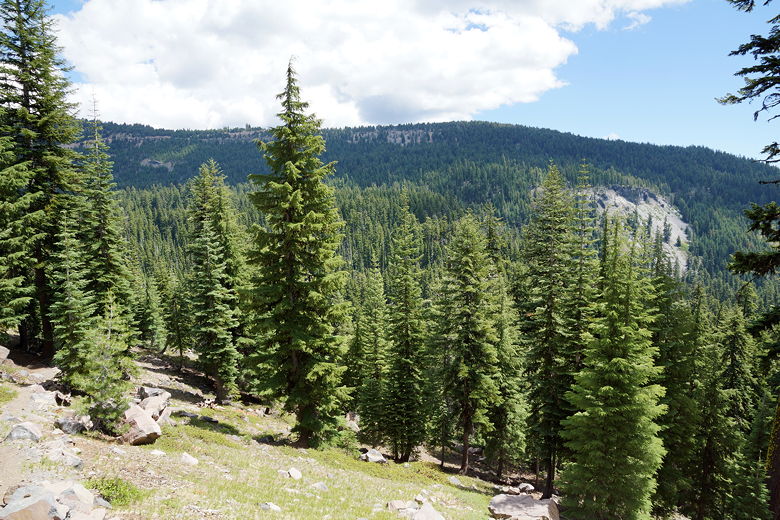
views of the surrounding forested mountains. We climbed about 350 feet before descending
into the forest. The trail flattens out a bit before descending a little more and then
finally leveling off for a bit. I would say this part of the trail is non-descript.
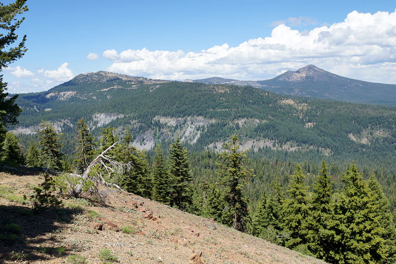
View on the initial climb
View on the initial climb
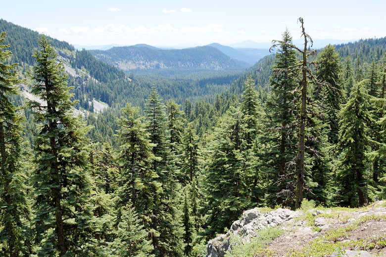
After about 2 miles from the trailhead, the trail starts climbing again, this time
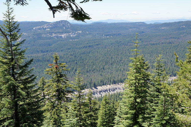
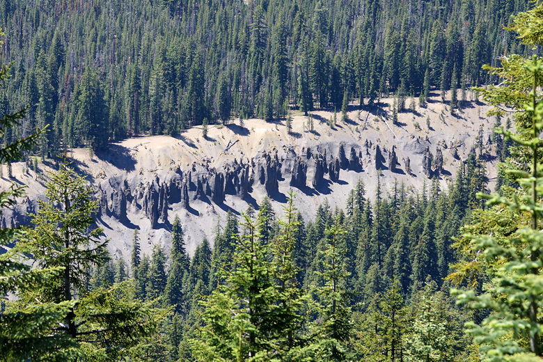
pretty much all the way to the top. Along the way we got views of Godfrey Glen
to the west, pinnacles poking out in the distance. The trail curls around the peak in a
counter-clockwise direction, climbing as it does so, providing views to the west, south,
and eventually east.
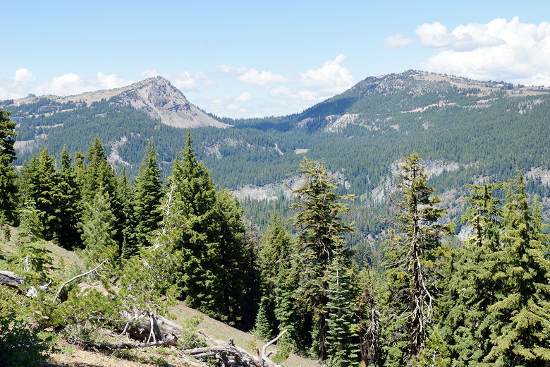
View of Godfrey Glen
View of Godfrey Glen
The top isn't really a peak so much as a high point, more of a forested plateau of sorts.
We settled down for lunch near the northeastern side. The trail actually continues past
that, sort of, downhill - it appears to peter out eventually so we didn't go any further.
Instead, we enjoyed the views and the solitude. The park newspaper says that one of
the highlights of this trail is solitude, and they weren't kidding. We did not see a single
person on the trail, going up or on the return. We were literally the only ones on the
trail, probably the only ones on the trail the entire day. This is pretty
astonishing for a hike of this distance (nearly 7 miles) in a National Park. I'm not entirely sure, but this
may be the only time we've done a hike without seeing anyone else.
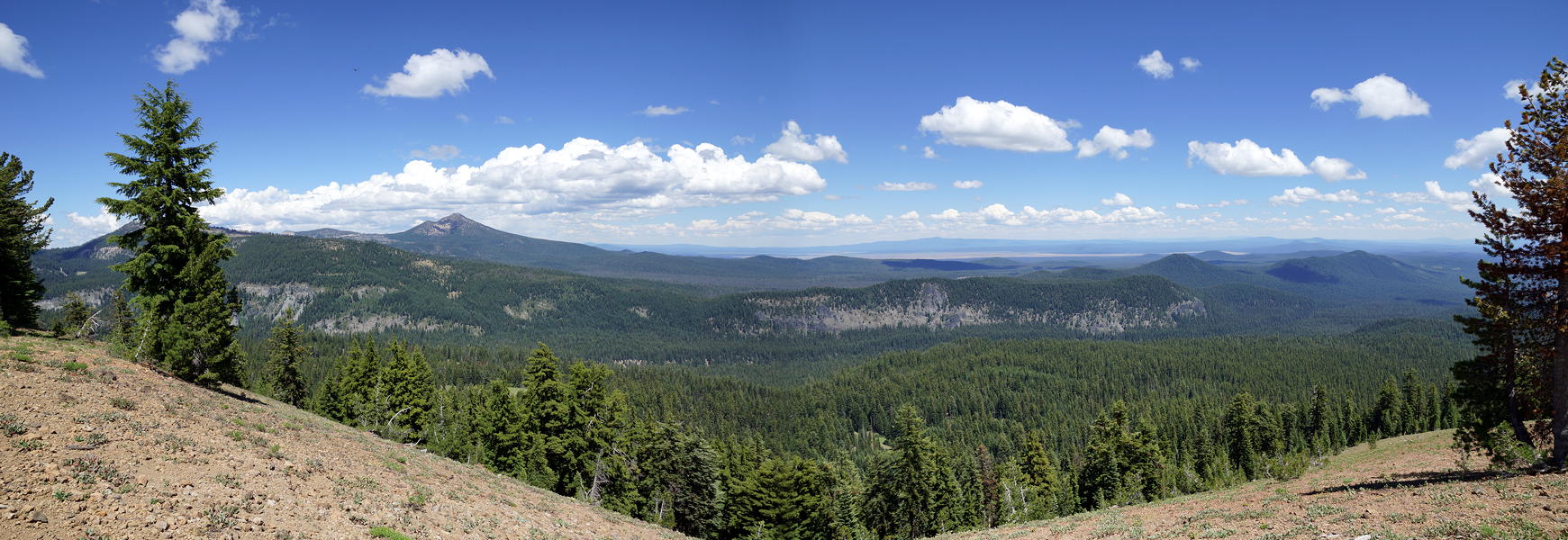
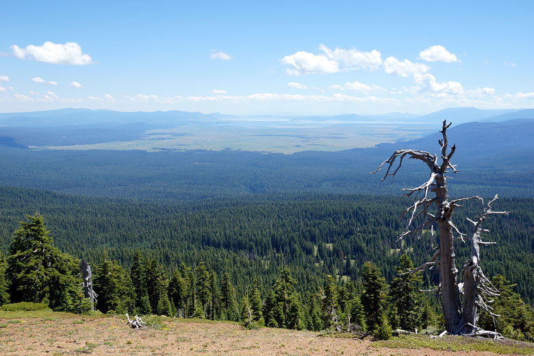
Panoramic view from the peak (Click image to view full size)
View from the peak
View from the peak
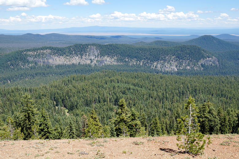
Klamath Basin
View from the peak
Klamath Basin
After our late lunch at the top, we started the descent around 3pm. We returned exactly
the same way we had gone up. The bugs were still a nuisance in the parking lot when we
returned, but it was now empty. I would say that the views from the top are probably
worth an 8, but the rest of the hike isn't very exciting and the mosquitoes were
a problem, so I'll give it a rating of 7.