|
Cars were already parked along either side of the gravel road when we arrived
around 11am. We parked along the road and prepared for a warm day.
There's a trailhead sign and outhouses here. We walked up the road to the left
of the sign and then shortly turned right onto the trail itself. The trail is
part of the McKenzie River National Recreation Trail, a 26 mile trail starting to
the north near Fish Lake, passing by Sahalie and Koosah Falls (which we'd visit
later today), and ending past Paradise Campground (where we were staying).
The start of the trail is, well, beautiful. Moss-covered trees line the trail,
with the river visible to the right. There are footbridges and a fairly flat
trail (just slightly uphill). The late morning light was perfect. Based on
seeing the light here later, in the afternoon, I would definitely recommend
doing this hike in the morning.
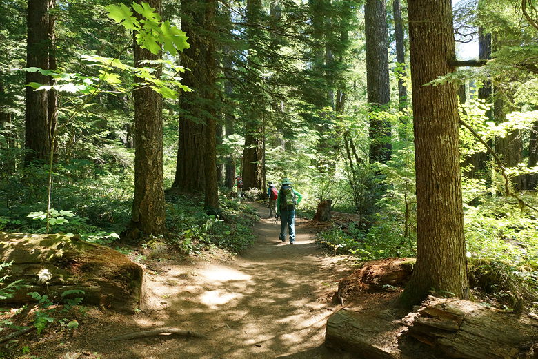
Near the start of the trail
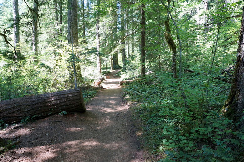
Forest walk
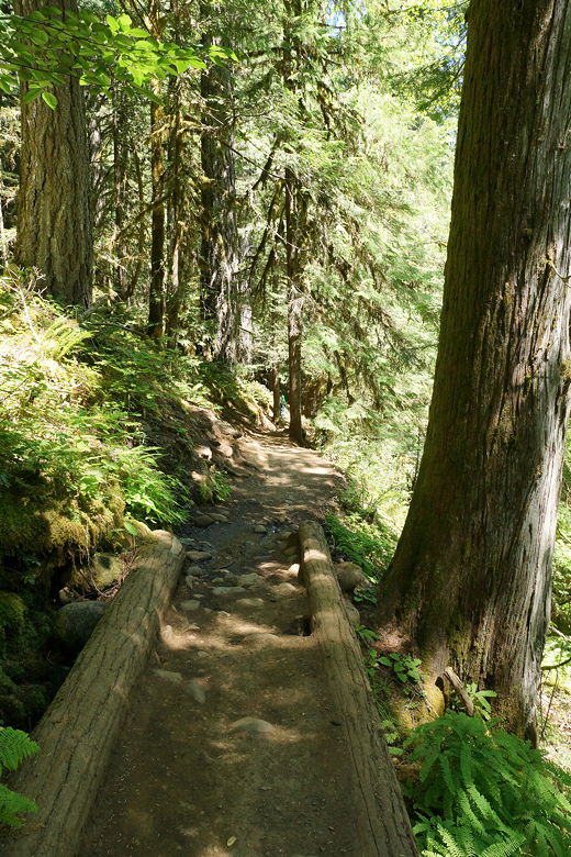
Footbridge
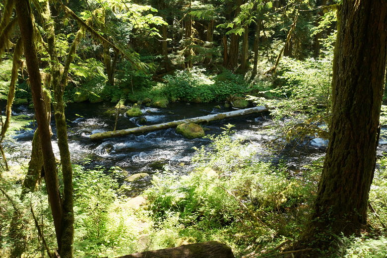
McKenzie River
The other thing this trail has a lot of? Hikers. And dogs. And mountain bikers.
It's a very popular trail. The mountain bikers were all very courteous. I felt
kind of bad for them since a lot of the trail is too rocky to be ridden for very
long, so they seemed to spend a lot of time carrying or pushing their bikes rather
than riding them.
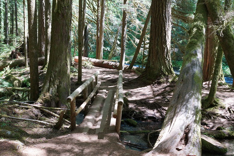
Another footbridge
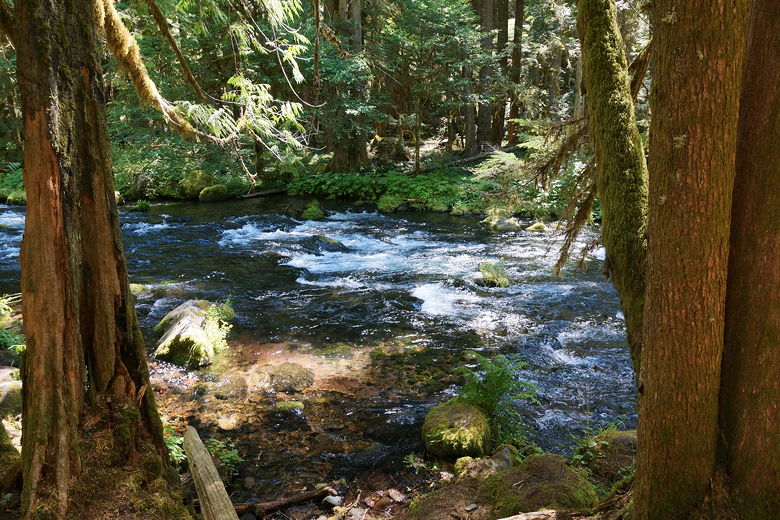
McKenzie River
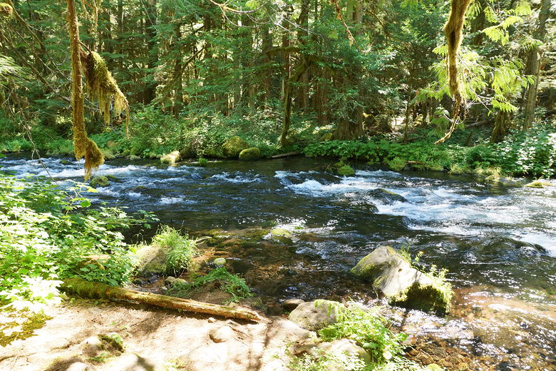
McKenzie River
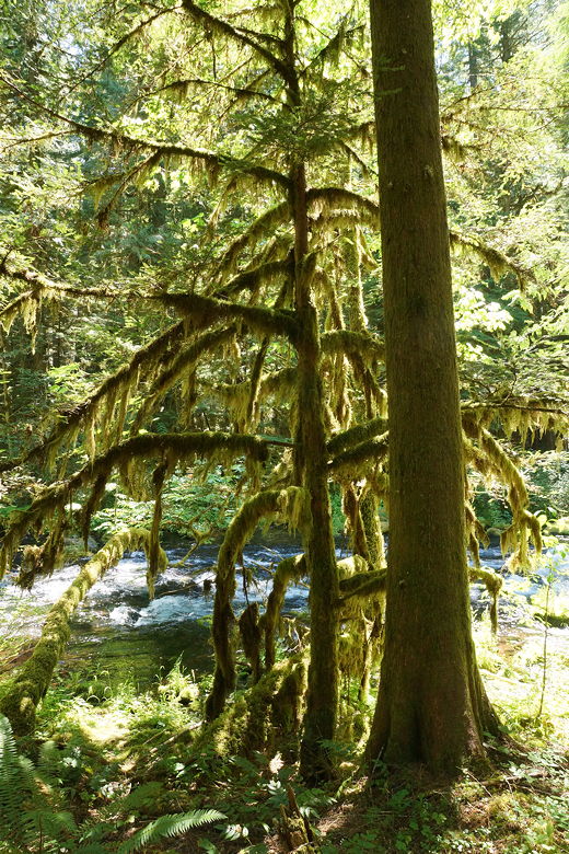
Moss-covered tree
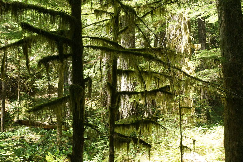
Moss-covered trees
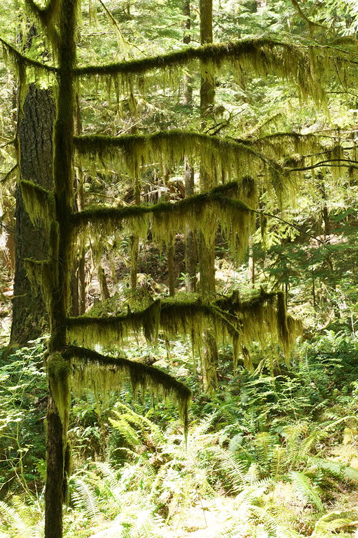
Moss-covered tree
Another thing you'll see on this hike is rocks left over from an ancient (probably
1600 years ago) lava flows. Volcanic rocks lined the trail, and we later had to climb
over some. The heat and the rocks appeared to be too much for one big white dog, as he
splayed himself out on the trail, refusing to move despite his owner's encouragement.
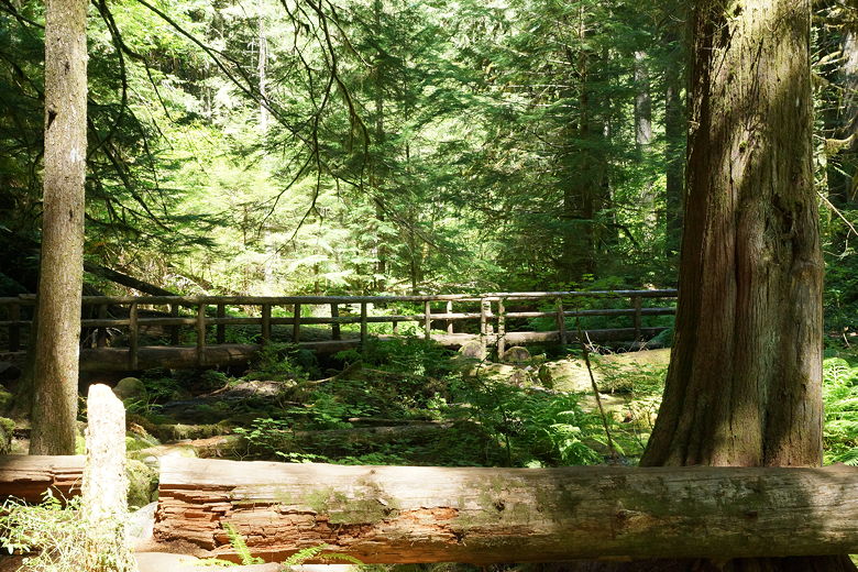
Footbridge
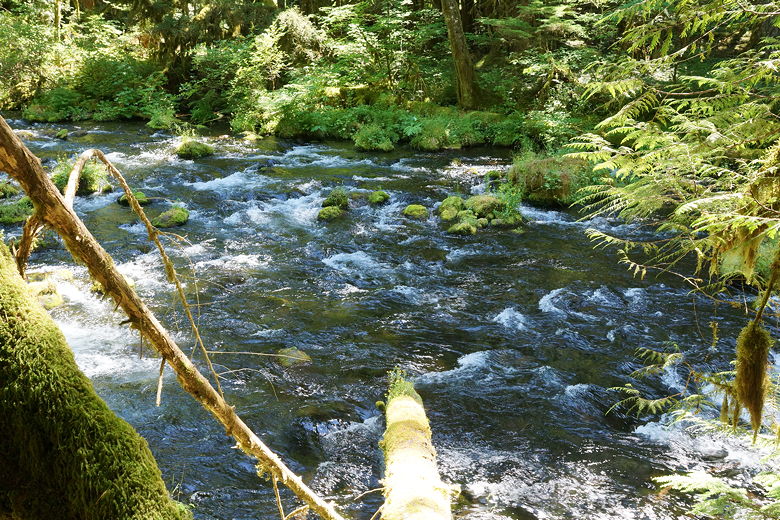
McKenzie River
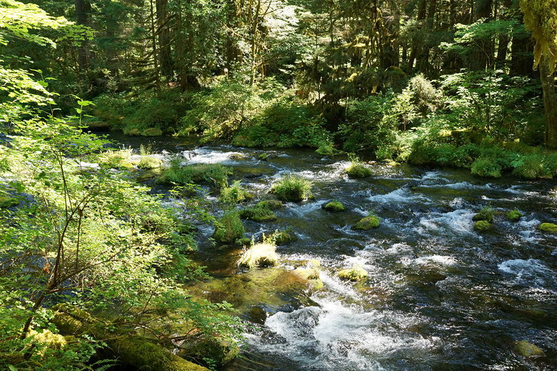
McKenzie River
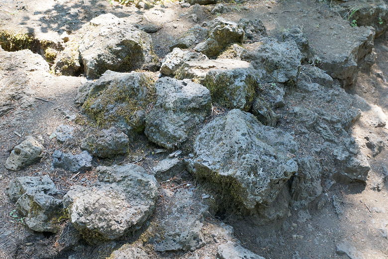
Volcanic rocks
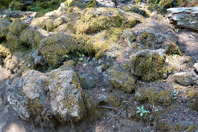
Volcanic rocks
As we continued toward the Tamolitch Pool, we saw a group of hikers, one carrying
a frisbee and another a drone (Phantom, still in the box). I was wondering where he
was going to fly that thing, since there were so many trees in the way, but we'd find out
later.
Eventually the trail leaves the side of the river and starts to climb above it.
We continued hiking along in the forest, and then suddenly we saw the pool below
us to the right. It was an amazing blue (it's commonly called the Blue Pool).
I took a picture of the pool and the first thing I said when I saw the preview
was "that looks fake." It completely looks fake, but it really is that blue color.
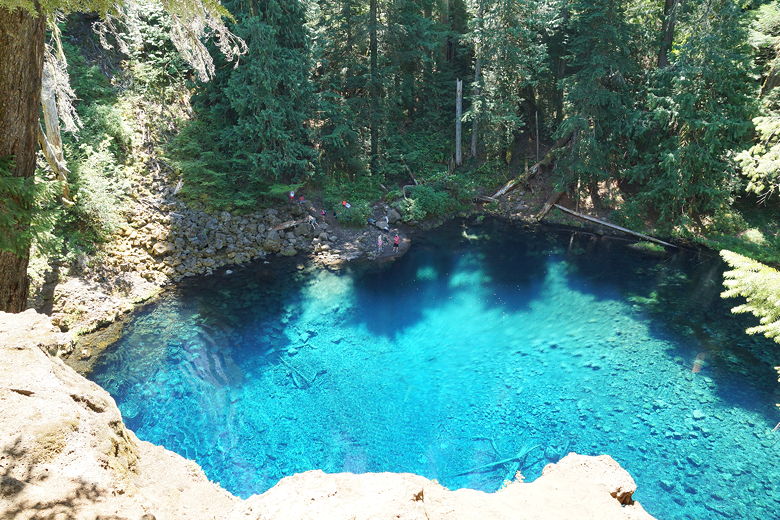
Tamolitch Pool
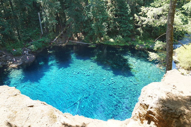
Tamolitch Pool
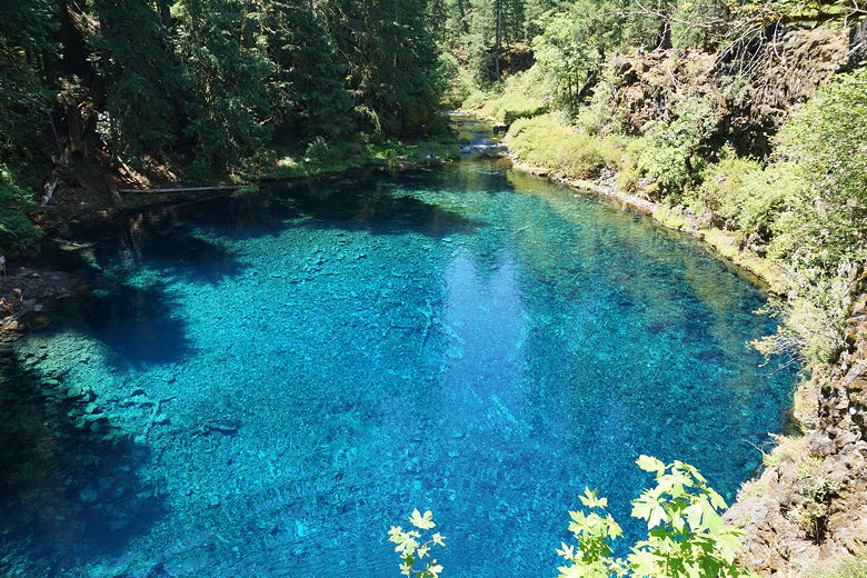
Tamolitch Pool
The trail deposits you about 50 feet above the pool. There were dozens of people
here. Maybe 30 or more. Some were down by the far (eastern) shore, which you can
hike down to and enter the water. Some were perched on the northern cliff,
which provides a clear view of the lake and the river coming out of it to the south.
Did I mention the pool doesn't have any visible inlet? The McKenzie River downstream
from Carmen Reservoir actually travels under an old lava flow, then emerges from the
bottom of the Tamolitch Pool before continuing out of it. During high flow times, the
water will also spew out of the volcanic rocks above the pool, resulting in
Tamolitch Falls. We were not so lucky as to see the falls at this point, however;
instead the area of the falls was dry.
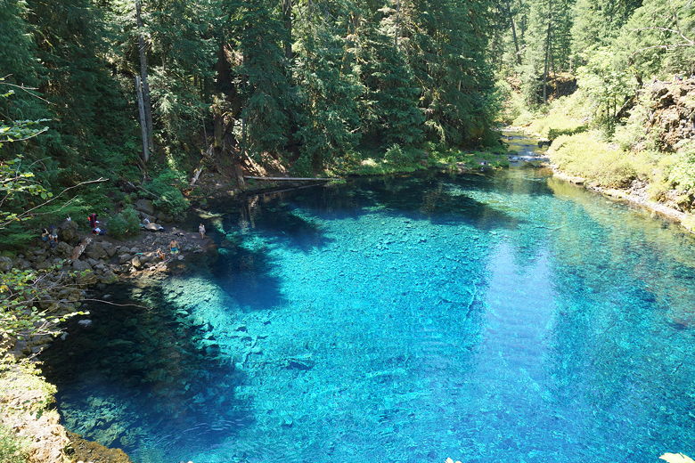
Tamolitch Pool
People ate lunch at the top of the dry falls bed. Others decided to use it as a launching
pad for a jump into the pool. One tattooed man stood on the edge for a couple minutes,
trying to build up the courage to jump. He said he'd jumped from higher before (it was probably
about 30-40 feet here), but was worried about the cold (he said the water was 37 degrees).
Eventually he stood aside and a teenager took his place, waited a few seconds, then jumped.
Splash! Applause.
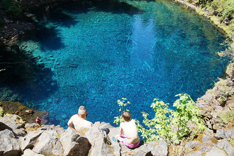
Thinking about jumping into Tamolitch Pool
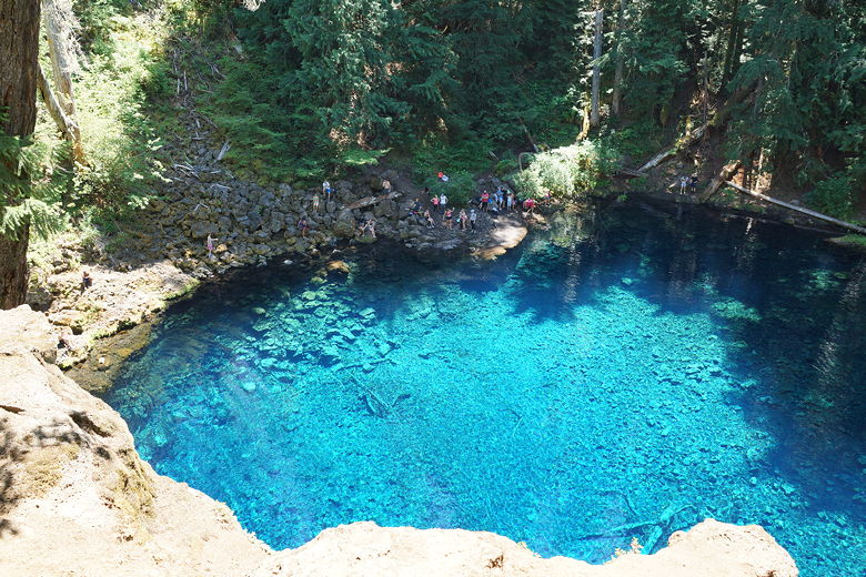
Tamolitch Pool
When we arrived at the pool, a couple of women were there finishing up. They showed
us pictures of Opal Creek - looks like a place we should visit sometime! We sat
down for lunch on the western cliff. The guy with the drone hiked down to the
opposite shore and started setting up a tripod and then opening up the drone box.
Meanwhile, his friend with the frisbee jumped into the water and swam toward him.
I think he was the only person we saw swim - most likely the water is too cold for
swimming. We waited and waited, but we never did see the drone take off.
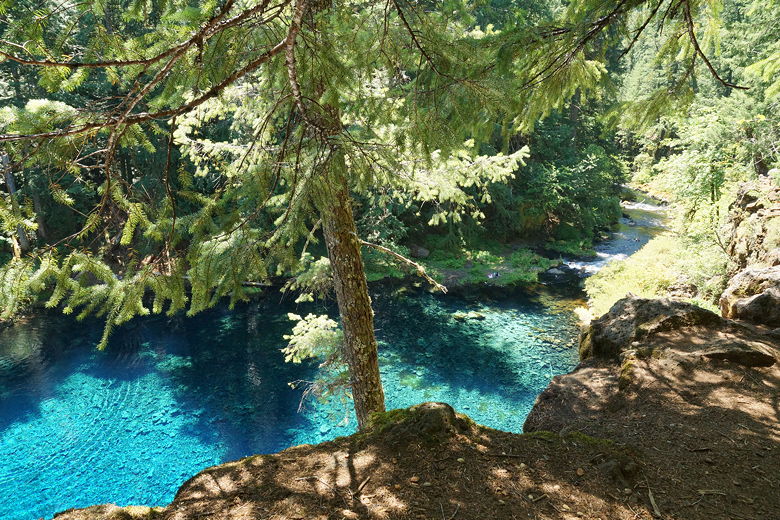
Tamolitch Pool
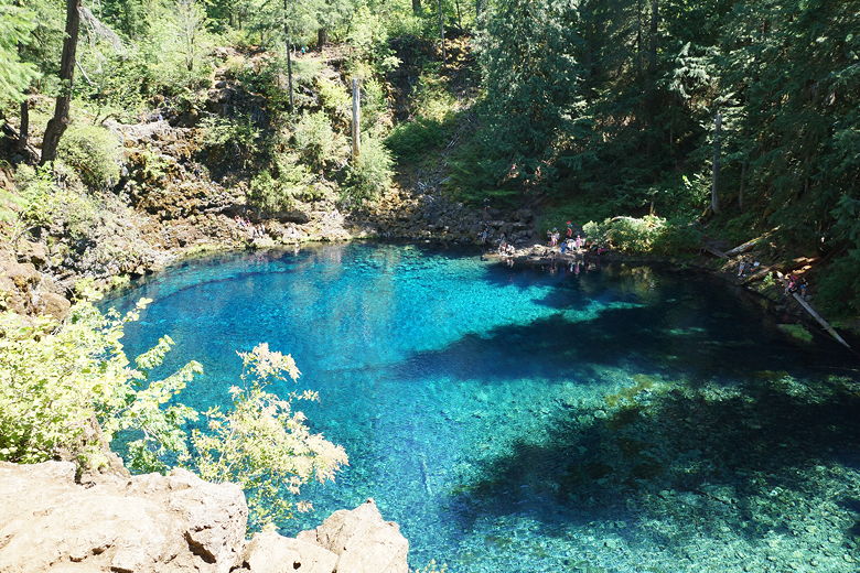
Tamolitch Pool
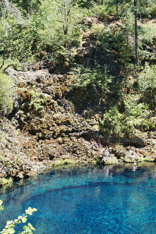
Where Tamolitch Falls would be
The hike back was fairly quick (less than an hour). Along the way we saw that dog
on the trail again, still on the ground. That didn't seem good. I asked if he was ok, and
his owner said, "we'll see."
When we arrived in the parking lot, we saw that even more cars were now in the lot.
So, while this is a beautiful hike, be prepared for lots of people. Keep in mind
that we went on a Wednesday and it was still crowded. I'd definitely recommend going in
the morning to help avoid the crowds. Probably the earlier the better.
| 


