|
There are multiple lakes in the Trinity Alps referred to as Boulder Lakes. There are
Boulder Lake and Little Boulder Lake, which are the ones we were planning to visit.
Then there's also East Boulder Lake. I unfortunately got confused and started
driving toward there before turning around and finding the right trailhead.
After all that driving, we still had to go up a 10+ mile dirt and gravel road.
Thankfully we only saw 2 cars coming in the opposite direction on our way up.
When we got to the big parking area, we saw about 15 other cars there. There
are no signs at the trailhead - just a blank board next to the trail.
We started climbing immediately, and soon saw a couple backpackers descending
toward us. In general, we'd see a lot of backpackers in the Trinity Alps.
We probably saw many more backpackers than day hikers. It's just that kind of
wilderness. Or perhaps it's the long dirt roads that discourage the day hikers.
After a little over a mile, we reached an intersection. To the left was Little
Boulder Lake, but we'd visit that later. Instead, we stayed straight and,
after encountering another intersection and taking the right fork, we started
descending toward Boulder Lake.
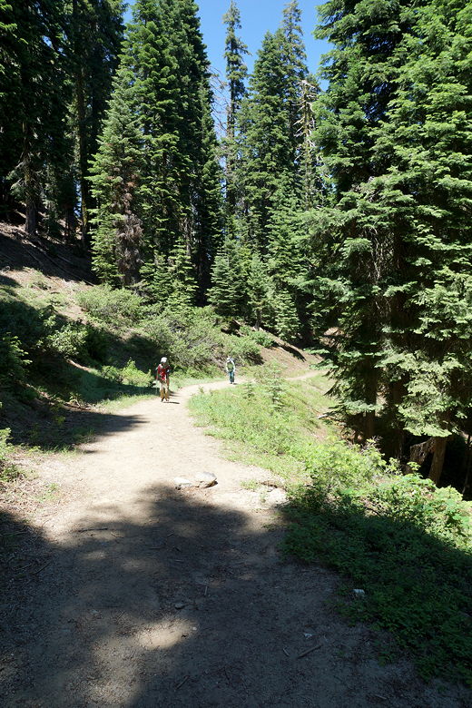
Hiking up the trail
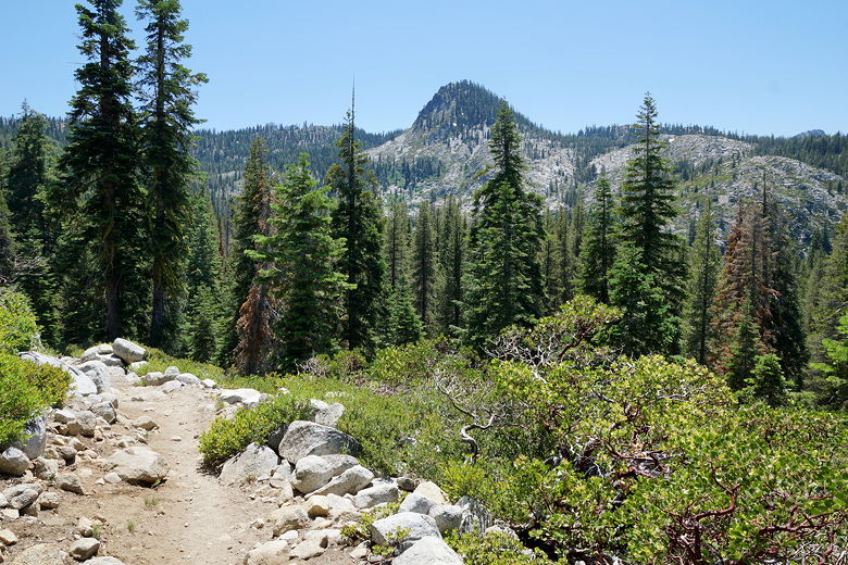
View from the trail
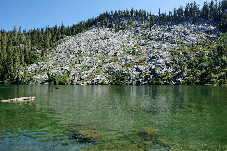
There were people already set up backpacking at the lake. We walked along the
left shore and found a spot next to the lake to eat a late lunch. It's not a
spectacular lake. Mostly lined by trees all around. A hill rising above the
opposite shore.
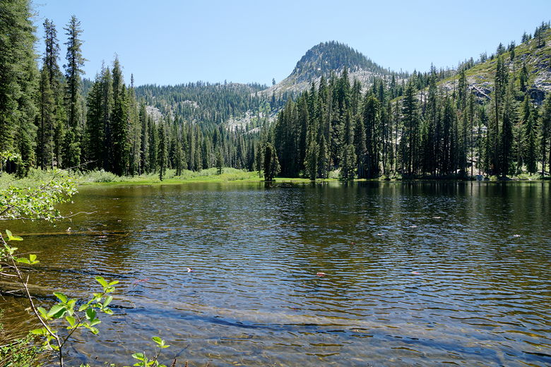
Boulder Lake
After our break, we returned to the intersection and turned right toward Little
Boulder Lake. The trail descends briefly, then goes up a bit, then plunges
steeply downhill. Along the way we had views of snow-covered Mount Shasta clearly visible
to the northeast.
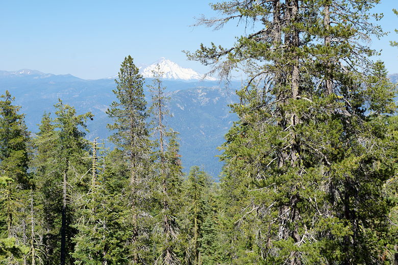
Mount Shasta
The trail flattens out and we reached Little Boulder Lake. While smaller, it's
a prettier setting than the bigger Boulder Lake. The camp sites seem nicer,
with more space. The hillside goes right to the edge of the water on the
opposite shore. A couple of kids were swimming with inflatables in the lake
as we took a break here.
Little Boulder Lake
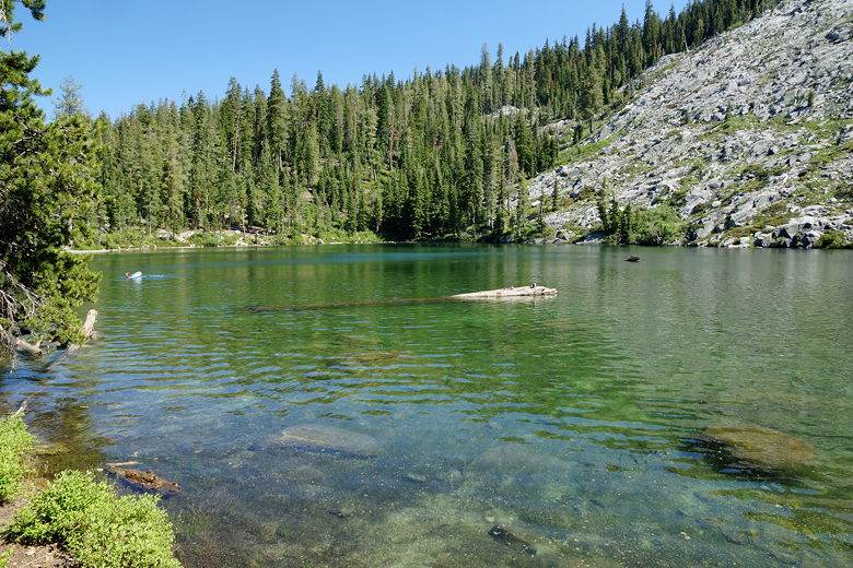
Little Boulder Lake
After the break, we returned to the main trail, then started the final descent
toward the trailhead. Near the end, we saw a couple with a baby in a stroller.
They were backpacking, and stopped to ask us how far it was to go. I estimated
they were only 1/10th of the way to the lake. And it was late in the afternoon,
but they had plenty of daylight. Still, it looked tough going pushing a stroller
up the hill. I probably should have mentioned to them that Little Boulder
might have been a better option for camping, as there were fewer people there.
I'm not sure they would have heeded that advice, anyway, though.
| 

