|
Finding the parking lot for this hike was a bit of a challenge since it was completely
unsigned. Well, there was a small sign indicating that a PCT trailhead was coming up,
but that was it. Eventually I figured out that the tiny lot (space for maybe 3-4 cars)
was the right one. It's right at a bend of the highway. The lot was full, but
there was ample space to park by the side of the road just a short walk from the lot
(one other car had already done so).
After prepping, we walked up to the parking lot where we found a trailhead sign
(Carter Summit Trailhead).
From there, we walked down the trail and immediately came to an intersection.
Straight ahead (uphill) is a trail to Hidden Lake. To the left and right is the PCT.
We took the left fork, heading downhill on the PCT through the forest.
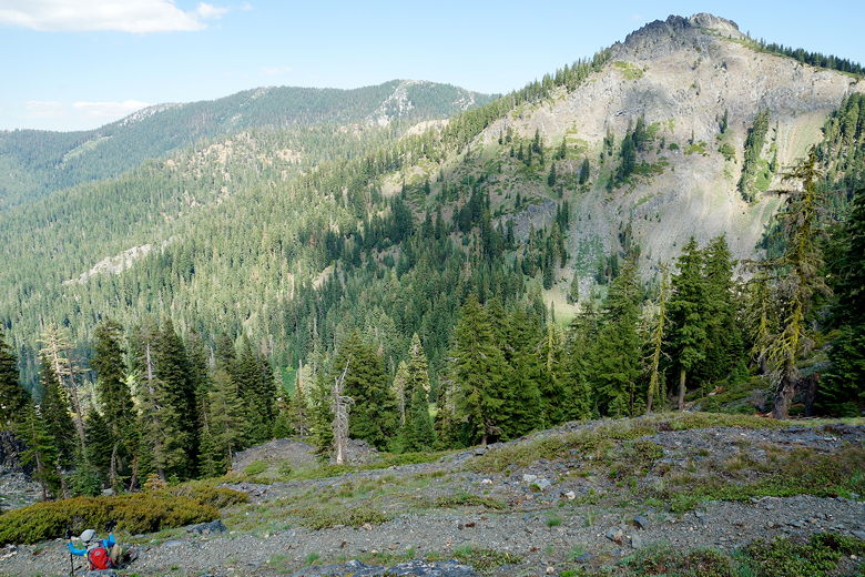
We encountered two backpackers coming toward us before we crossed a stream. Some
views opened up, but much of the route here is still in forest as it starts to
climb. After a little
over a mile, we reached a subtle intersection. An unsigned trail headed off to
the right. The book I had said that there would be a 4-way intersection, with
a trail leading off to the left. Eventually I figured out that the trail to the left
was now overgrown (we could see faint remnants of it under the grasses). So
even though it was unsigned, I was fairly certain the trail to the right was
the right one, and we took it.
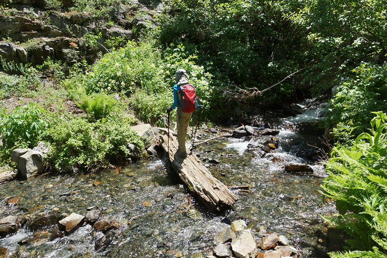
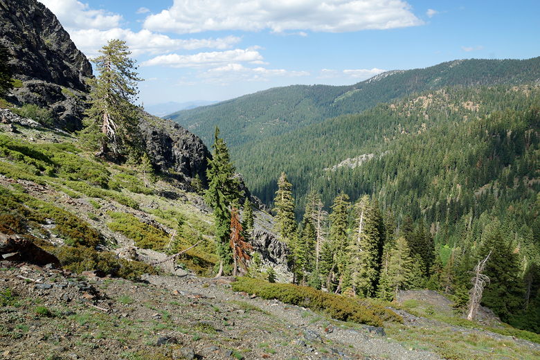
Creek crossing
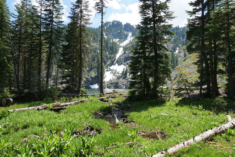
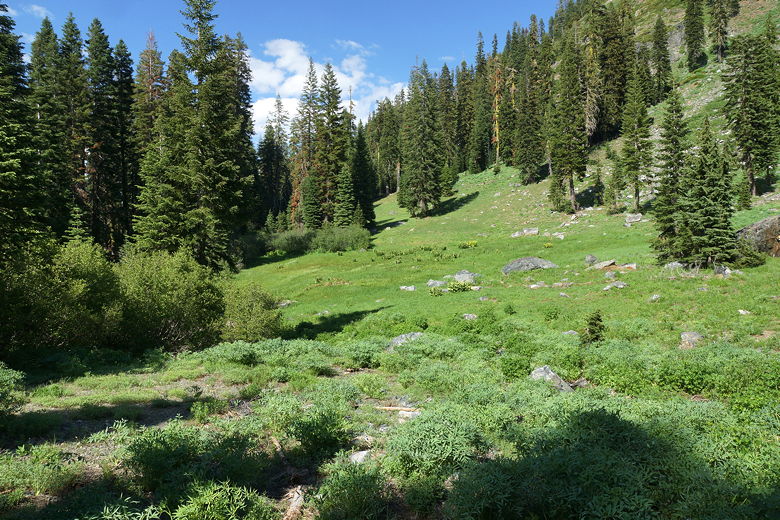
The trail now starts climbing more steeply through forest and ferns. Soon the
trail breaks out of the forest into a beautiful meadow. At this point the trail
disappeared in the meadow. Using the GPS and just looking at the terrain, we were able
to figure out where the trail eventually ended up, and we eventually picked it up
again. Just veer to the right and you'll find it. We crossed a stream (probably
more than one, I can't remember anymore).
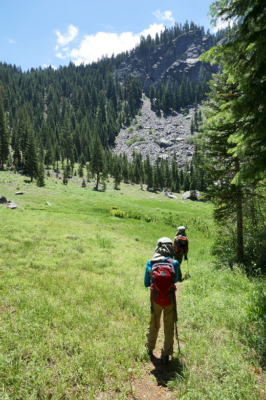
Into the meadow
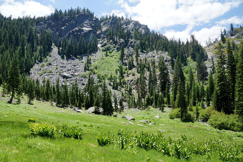
Meadow
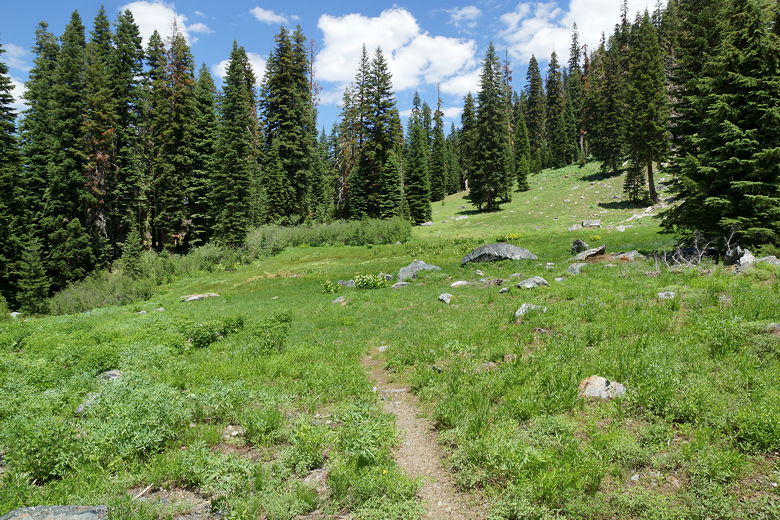
Looking back at the meadow
The trail starts to climb fairly steeply again, and some parts of the trail here
were muddy with water running downhill over the trail. On the nice side, it wasn't
nearly as hot today, with some cloud cover and some cool breezes.
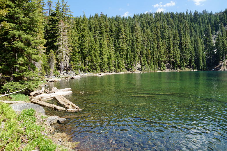
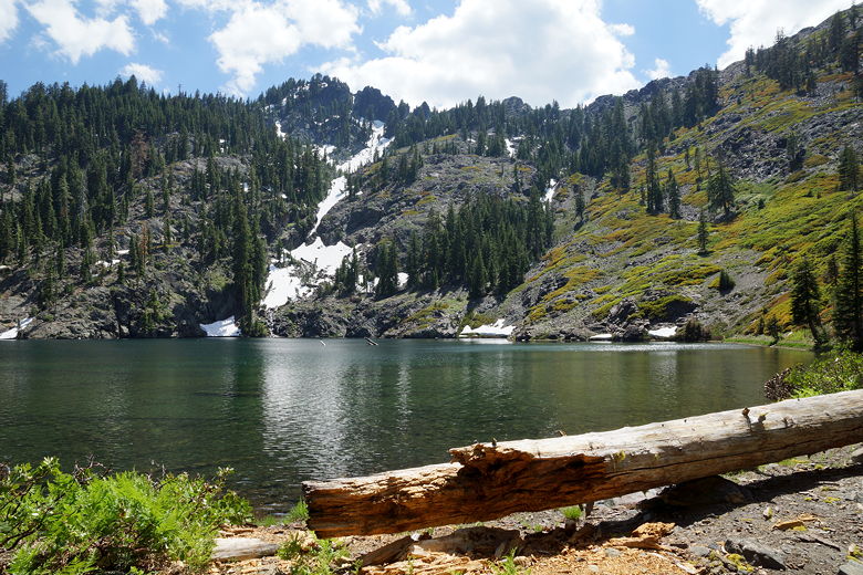
We reached a saddle, and then the trail descends slightly before flattening out
upon reaching the lower South Fork Lake. We saw snow patches in the area,
including one right near the shore. It's a pretty little lake pretty much
surrounded by trees. We had lunch and skipped rocks and had the the lake all to
ourselves.
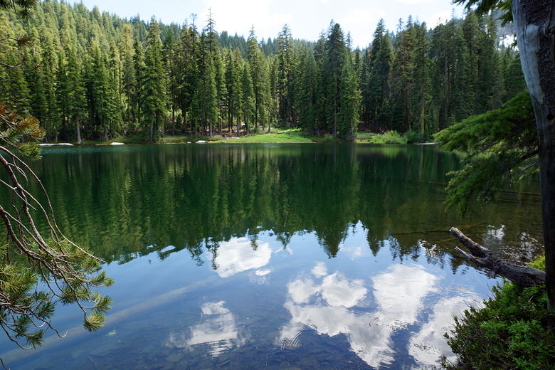
Lower South Fork Lake
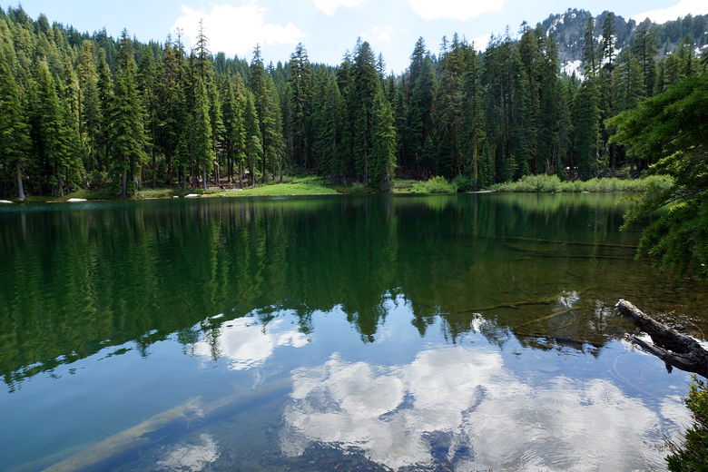
Lower South Fork Lake
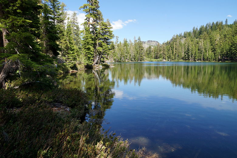
The rest of my family waited here while I walked up to the upper lake.
It took me all of 5 minutes to reach it. This second lake is slightly bigger,
and perhaps prettier as well since it is backed by a mountain, a stream of
snow leading down it to the water's edge. There's a camping area a little
to the right of the outlet stream (which leads to the lower lake). However,
there's not much shade near the actual shore, and I was glad we'd stopped at
the first lake for lunch.
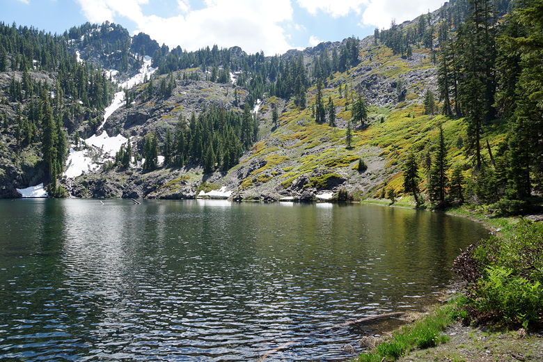
Upper South Fork Lake
Upper South Fork Lake
Upper South Fork Lake
Looking back at Upper South Fork Lake
I returned to the first lake, and then we started the return trip back the way
we had come. We reached the intersection and turned left to rejoin the PCT.
As we were descending on the PCT, we ran into a pair of backpackers, one of
whom said they were trying to get 11 more miles in today. I looked at my
watch and it read 4:57pm, but they looked like they'd packed light so maybe
they could do it. We saw two more hikers shortly after that, one of whom looked
like he was lugging a big bag, maybe a crash pad (for climbing), I'm not sure.
I think that made the sum total of other people we saw on the trail 6.
Lower South Fork Lake
Reflections in Lower South Fork Lake
Descending back to the meadow
Descending back to the meadow
Back to the meadow
We skipped the parking lot on the way back, taking the PCT all the way to the
highway (right where our car was parked). The PCT continues north on the
opposite side of the highway. Before this trip I hadn't even known the PCT came
this far west. Apparently it does a sharp left and crosses I-5 at Castle Crags
State Park. Maybe someday we'll explore more of the PCT in this area. Castle
Crags is another place on my list of places to visit in California.
| 

