|
The hardest part about this hike may have been getting to the trailhead.
First of all, the dirt road is not signed. There's a bend in the highway
where there's a dirt road off to the side, but you're thinking that can't be
it. The road is between two metal bridges. The only clue is, if you look
carefully, someone has etched in the road number on a nearby yellow arrow.
After circling back, we took this road, which is really rough. I mean
really rough. Even though it's one of the shorter (less than 4 miles) unpaved roads we
drove on this trip, it would be my last choice to drive. There were several
wince-inducing dips as we drove along, but eventually we made it to the trailhead,
where I was a bit surprised to find 2 other cars already parked here.
Considering our campground was nearly empty, and it was a Thursday, and
the state of that road we had just driven, I thought there was a good chance
we wouldn't see anyone today. I'd be very wrong.
The trail starts off on the dirt road itself, which continues past a locked
gate. The road/trail crosses a metal bridge, then starts climbing. In fact
the road is the trail for close to 2 miles. After about a mile, we saw some
backpackers camped off on the right, next to the creek. Not sure why they
decided not to camp near the lake instead. It's not that far.
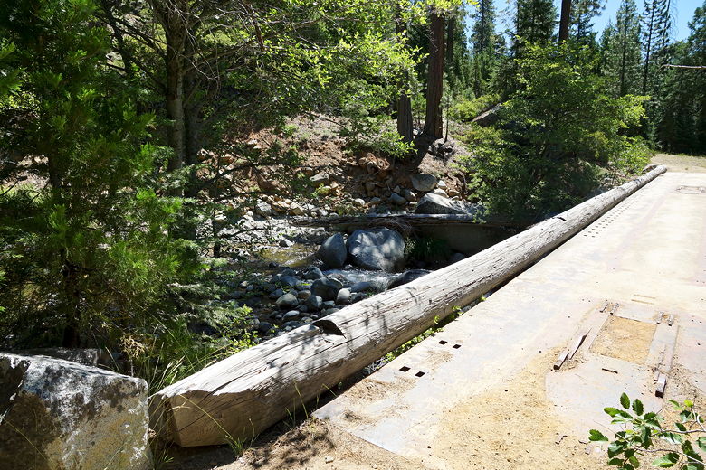
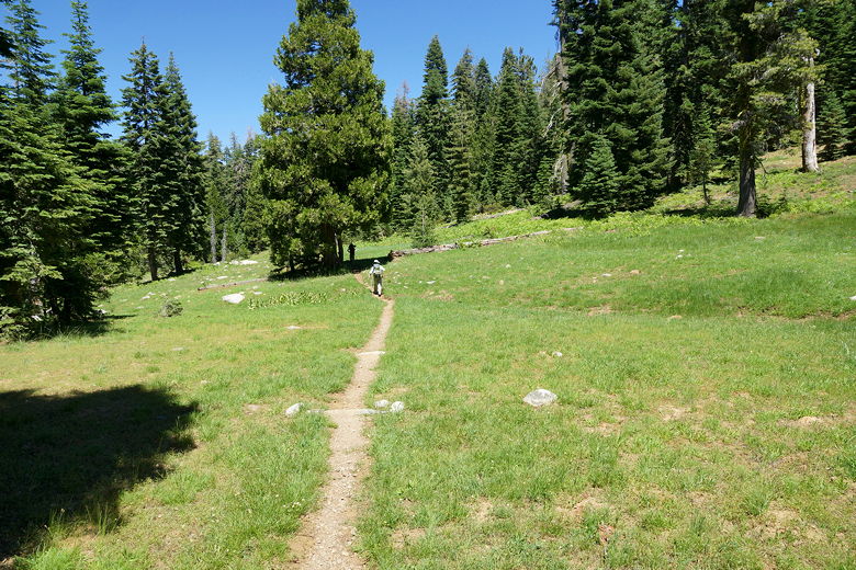
Footbridge
Continuing on the road, eventually we crossed another gate and at this point the
trail narrows. We started crossing some muddy and meadowy parts of trail.
There were several creek crossings, none of them of any consequence -- all of them
were easy rock-hops. We'd brought our sandals just in case, but we didn't need them.
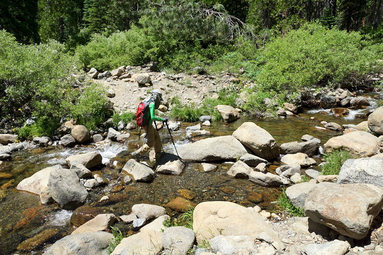
One of several creek crossings
A couple of big trees blocked the trail, and we had to climb over or around them
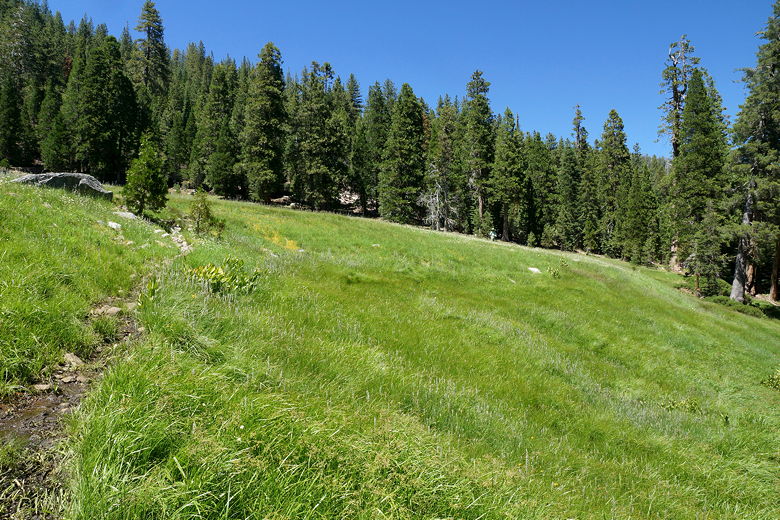
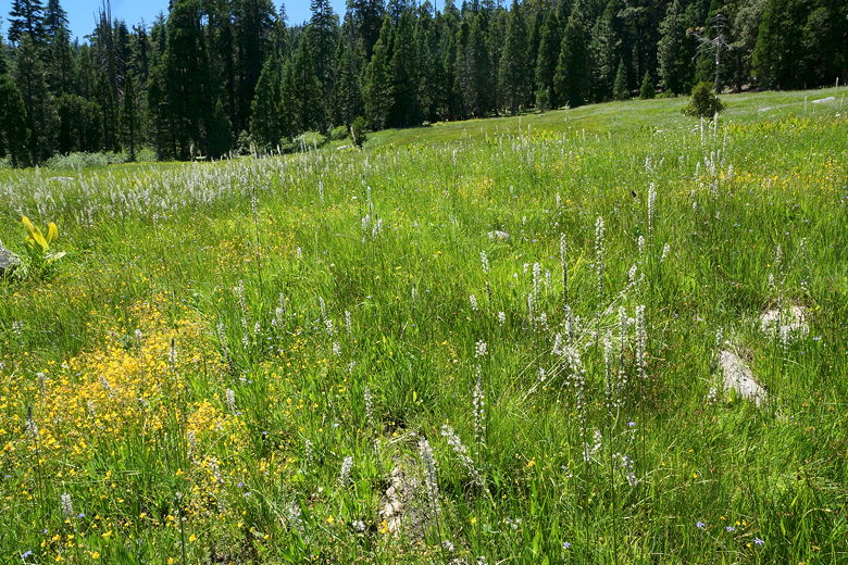
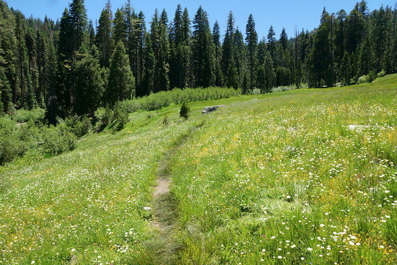
to continue. Shortly, we came to an intersection. We took the left fork to head
to the lake. Soon after the turn, we came to a beautiful big meadow, patches of
wildflowers engulfing the trail.
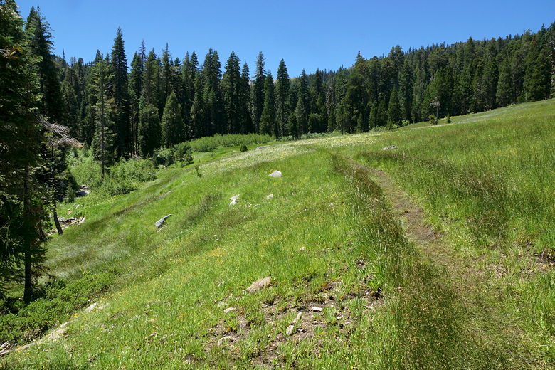
Big meadow
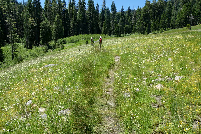
Big meadow
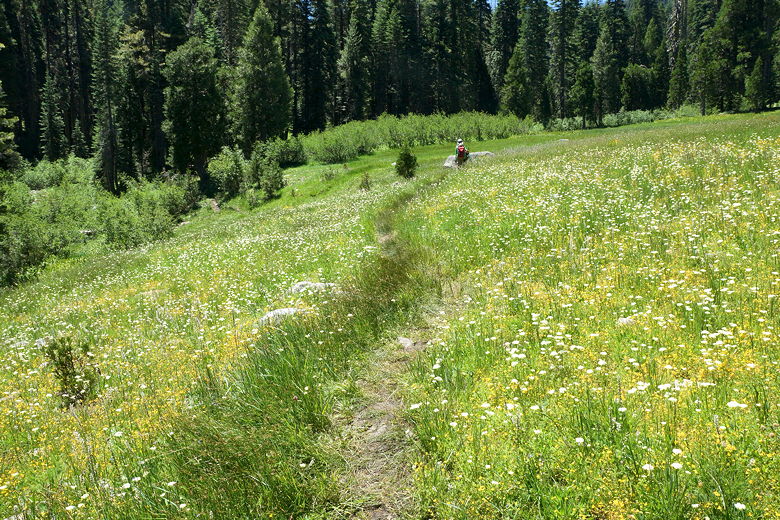
Big meadow
The trail then veers left and crosses the creek again. On the other side of
the creek are some ruins, but the only thing left looked like an old 1850's
era rusted oven. The climb from here is steady, a little rocky, with the occasional
water trickling down the trail. Eventually we made it to another (smaller)
meadow. A dog started running around in front of us before their owners
put a leash on it. Its owners were a couple and their small child (maybe 3 years
old), just leaving the lake.
When we arrived at the lake, we had it to ourselves. We could see camping areas above
the lake, with nice campfire rings. There was a nice lunch spot in the shade,
with rocks to sit on, and
views of the lake a little below. As we were eating lunch, two more dogs came
up, shortly followed by their owners, 4 day hikers. They went further
up the shore.
Tangle Blue Lake

Tangle Blue Lake
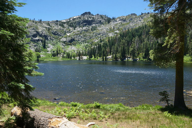
Tangle Blue Lake
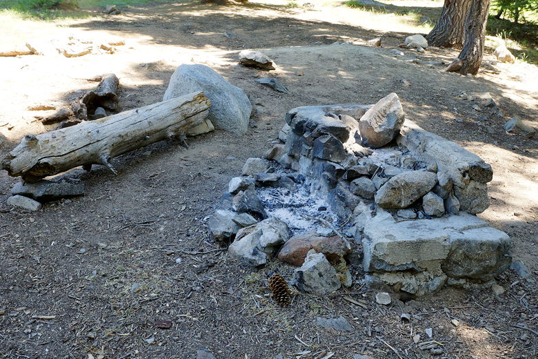
One of the campfire rings
We stayed about an hour at the lake before finally leaving around 2pm. Downhill,
through the big meadow, and right onto the main trail. On our way back, we ran into
a couple backpacking with their dog, and then later a family of 4 with yet another
dog. The father asked about the creek crossings, and I assured him they were easy.
Meadow next to the lake
Back to the big meadow
Flowers in the big meadow
Looking back at the big meadow
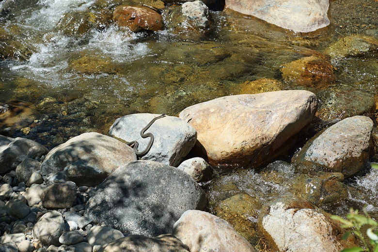
A snake delays our creek crossing
The backpackers we'd seen by the creek were still there. Well, at least the camp
was still there, though we couldn't see the campers. I think they were off exploring
nearby, as we could hear voices.
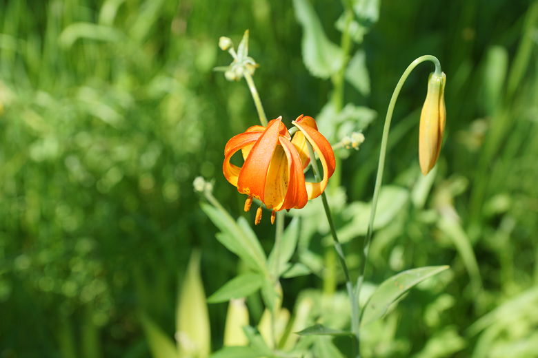
Flower
When we arrived at the parking lot, there were now 6 other cars in the lot. We
drove back down the bumpy dirt road, trying to be as careful as possible. Unfortunately
apparently I wasn't careful enough. The next morning I noticed the pressure was low
in one of my front tires. I'm guessing I'd hit a sharp rock with enough force to cause a
puncture and a slow leak. Thankfully we had enough pressure to drive to a gas station
and get it filled up, and fixed it later. Next time I'll bring a pump and patch kit with me,
just in case.
| 

