|
In the morning, I briefly thought about taking a shortcut, hiking directly toward the
Duck Lake outlet stream along the southeastern shore of Duck Lake. There's a trail
that kept going along the shore, though I didn't know how far it went.
However, I could see that the far end of the lake had talus and snow slopes, so it
might be difficult terrain to navigate. I figured it might save a mile or so of
hiking, but in the end we decided against it. We would just take the long way,
going back up to the trail we'd descended yesterday afternoon.
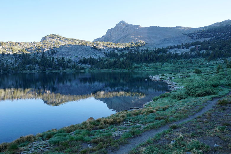
Duck Lake sunrise
Reflections in Duck Lake
So at 10am, we returned via the muddy path, then back up to the intersection near Duck Pass.
After 40 minutes of uphill, we turned left and started the long descent along the
northwestern shore of Duck
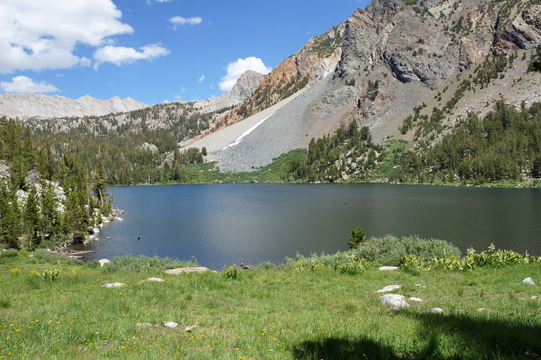
Lake. The lake is over a mile long. The trail is mostly high above the lake,
and the land drops steeply toward the shore. As we got closer toward the outlet
stream, we could see we had made a good decision to come this way instead of the
opposite shore. The other side had very steep talus slopes, and dangerous snow
slopes.
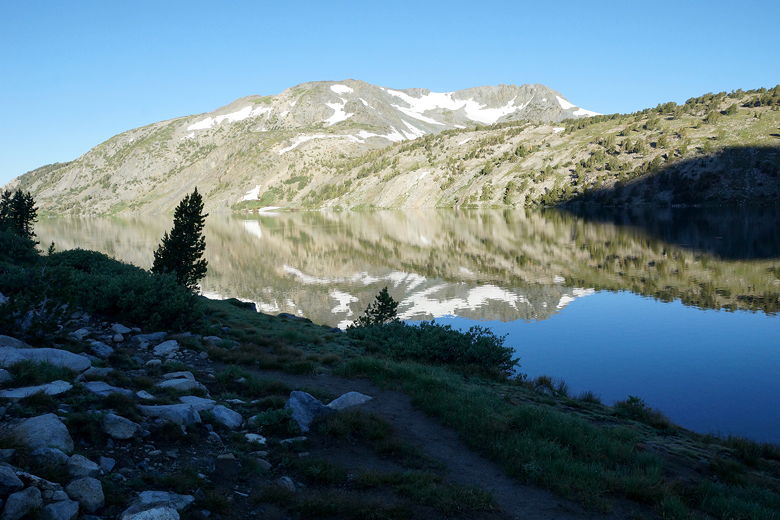
Duck Lake
Duck Lake
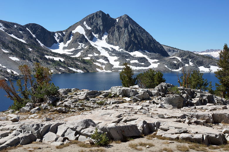
Duck Lake
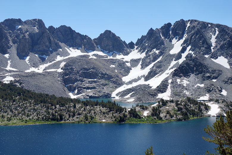
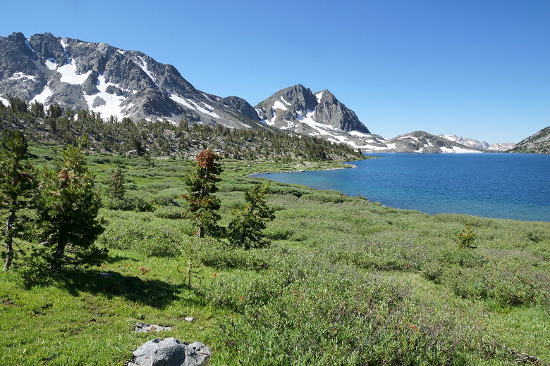
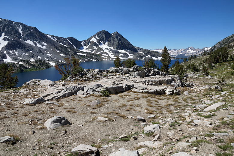
Pika Lake beyond Duck Lake
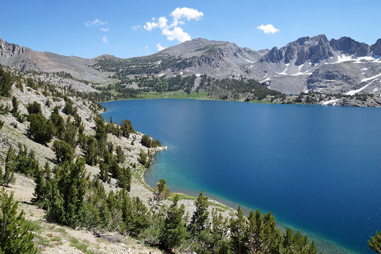
Duck Lake
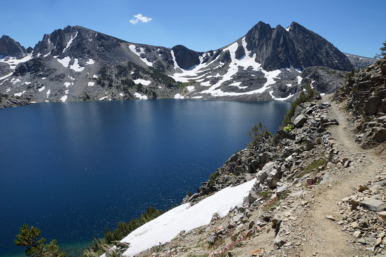
Duck Lake
We reached the outlet stream and took a break. We could see some day hikers
turning around here (making for a 12-13 mile round trip). While we were taking a
break, we looked for potential campsites for our last night. We didn't really see anything good in the
area (and you're not supposed to camp within 300 feet of the outlet stream). So on
our last day we'd probably have to camp near where we'd camped last night.
We crossed the outlet stream (a simple rock hop), then started a steep descent down
toward the intersection with the JMT. We turned left onto the JMT, which immediately
starts climbing. After 200-300 feet of climbing, it levels out, and then starts a 500
foot descent down to Purple Lake. We'd been on this part of the trail before, of course,
as part of our JMT hike 2 years earlier.
Purple Lake
After a snack break at Purple Lake, we left the JMT behind and started the descent
toward Fish Creek. The trail descends roughly parallel to Purple Creek, but the creek is
rarely visible off to the left. The trail starts out fairly gentle, passing through
some areas of dead or dying trees. The trail then starts switchbacking on steeper
terrain. The views start to open up of the Cascade Valley below, and the mountains
on the other side. We could see signs of a relatively small wildfire to the north,
looking to be in the direction of Red's Meadow. It didn't look like it would affect
us, at least not yet.
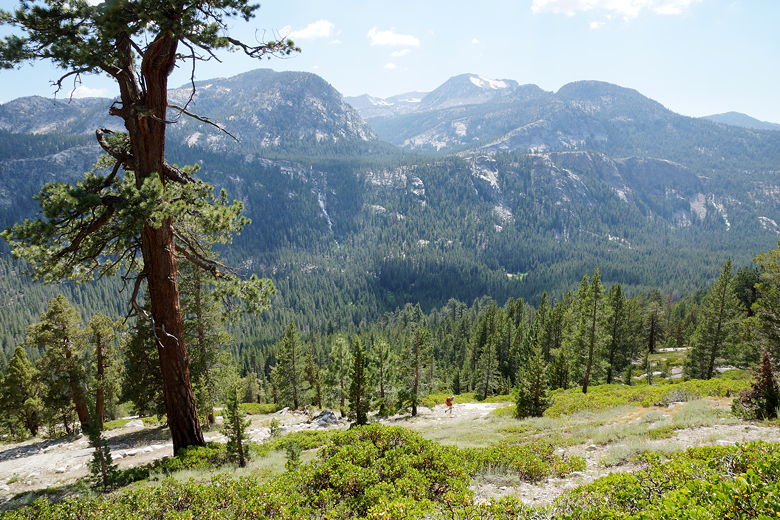
Heading down to the Cascade Valley
As we descended lower, the mosquitoes started becoming a problem. By the time we
reached the trail intersection at the bottom, they were a major nuisance, making it
hard to stop and do anything. We turned right, then shortly turned left onto the
Cascade Valley Cutoff Trail. By this time we didn't think we'd make it all the way
to Lost Keys Lake today, but we were starting to look for campsites. We
crossed a muddy meadow, then came to the Fish Creek crossing. It immediately became
clear that this would be a problem. There's no bridge here, and the trail very
clearly continues on the other side - but the creek had to be at least 5-6 feet
deep in the middle. Even though the water was not raging, there was no way I was
going to get across (without swimming), let alone my wife and kids. We searched up
and down the shore a bit (it looked like we weren't the first to do so this season),
but couldn't find a way across. Eventually, with the mosquitoes continuing to hound
us, we decided to give up. We'd retreat and look for a campsite.
We returned to the intersection, then turned right onto the Fish Creek trail briefly
before finding a large camp (probably a horse camp) near the Purple Creek crossing.
There was plenty of flat space for our tent, and a campfire ring as well (we were
now well under 10,000 feet, so campfires are allowed here). We started a campfire
in a vain attempt to ward off the mosquitoes. Eventually we got our camp set up and
were fed and in our tent.
Now we had to decide what to do the next day. Crossing the creek didn't seem like an option. I
thought that maybe we could cross Purple Creek (not a problem), then try to cross
Fish Creek further upstream. Maybe it would be easier then. But there was no guarantee.
Another possibility was to continue northwest along the Fish Creek Trail, crossing the creek later
at what my map termed "Second Crossing" and then continuing on to Lost Keys Lake and
catching up with our schedule. But it was not clear if there would be a bridge at
Second Crossing, or if the creek would otherwise be passable. So it was entirely possible
we'd hike 4 miles to Second Crossing and then have to turn around. Eventually, we decided
that our best option was to hike back up to Ram Lake (past Purple Lake), then take
a zero day (maybe doing a day hike to Franklin Lake), then back to Duck Lake and then
back to the trailhead, making for a 6 day trip instead of the planned 7. Visiting Lake
Virginia was another possibility, but considering how many people were there when we
did the JMT, we had no great desire to return. So we pretty much settled on the
Ram Lake plan.
|


