|
While it was warm in Portland when we left around 1pm, by the time we reached Cape Lookout on the coast, it was overcast with fog rolling through the treetops, and the temperature was in the 60's.
The large parking lot was mostly full, so we parked along the side of the road (as many others had done already). There's a garbage bin here, and a couple outhouses (overflowing when we arrived). There's signage at the trailhead at the far end of the parking lot, though no printed maps. You won't need one, though.
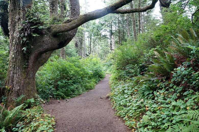
At the trailhead, a trail heads right (north) toward the campground. We ignored that and started off on the trail into the forest. Very shortly we came to another intersection. A trail heads downhill to the left, but we stayed on the trail straight ahead toward Cape Lookout (it's clearly signed).
Trail toward the campground
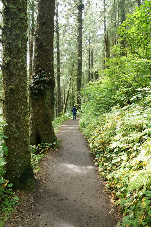
On the trail
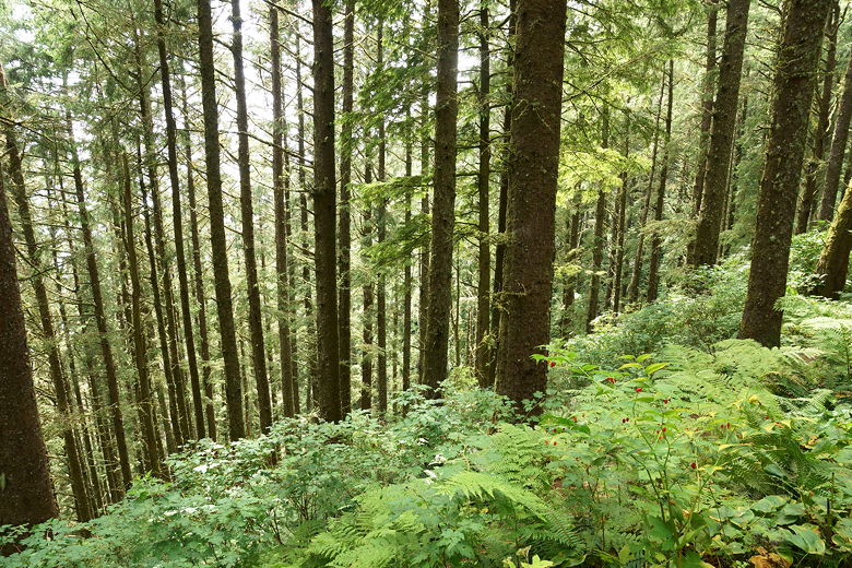
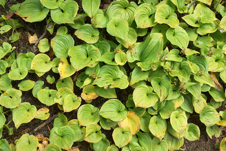
Forest
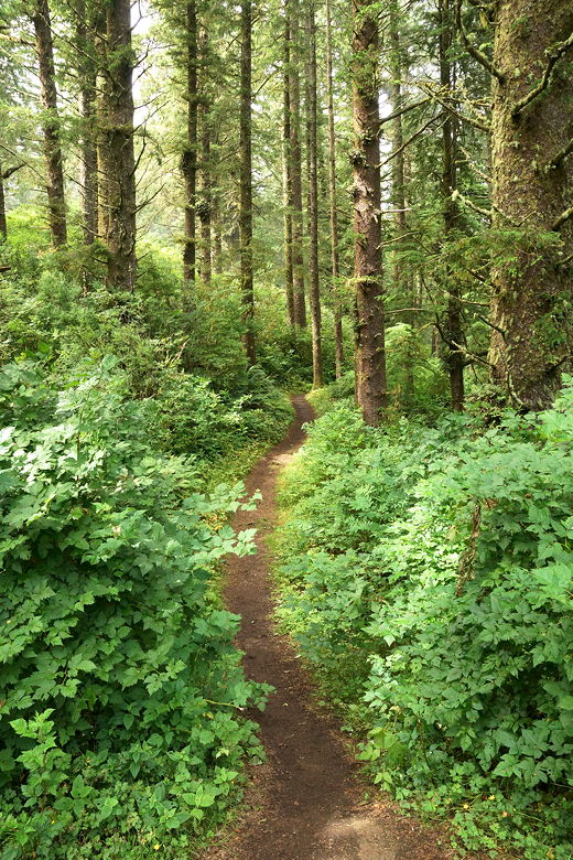
Fern-lined trail
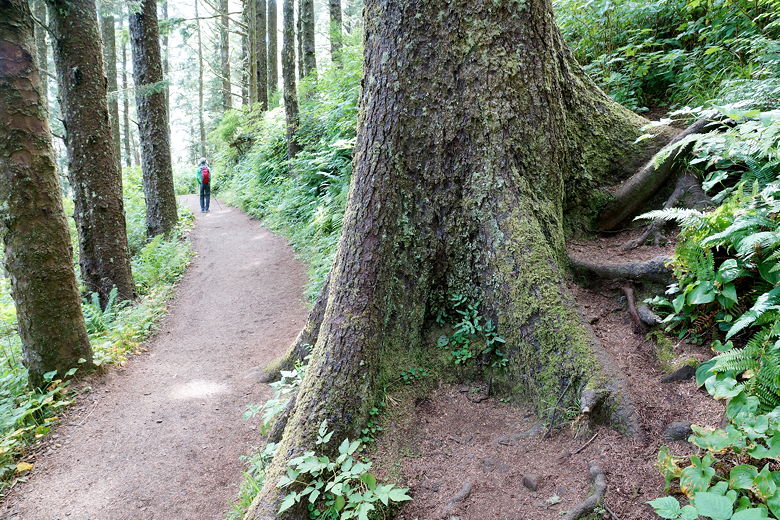
Tree trunk next to the trail
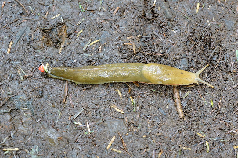
Slug on the trail
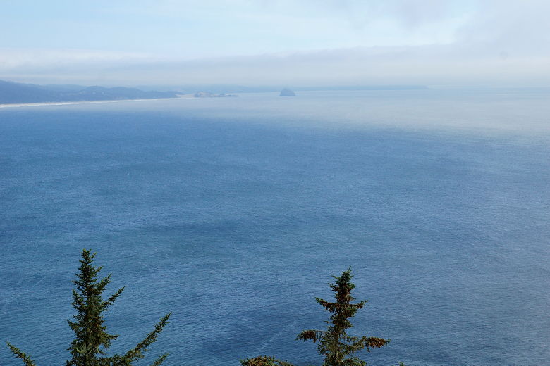
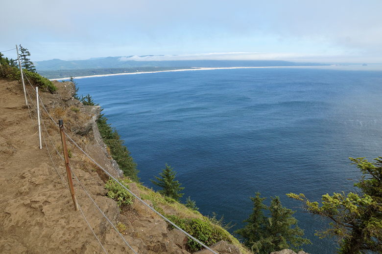
The trail is up and down, though slightly downhill. We could see the beaches and coastline to the south to our left, through the trees. After continuing further on the trail, we got mostly unobstructed views in that direction. We could see a small rock island in the distance, just off the coast.
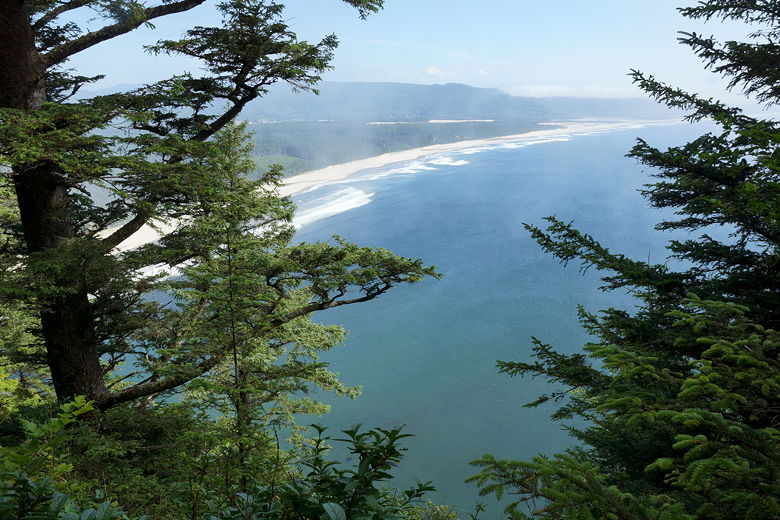
View of the beach to the south
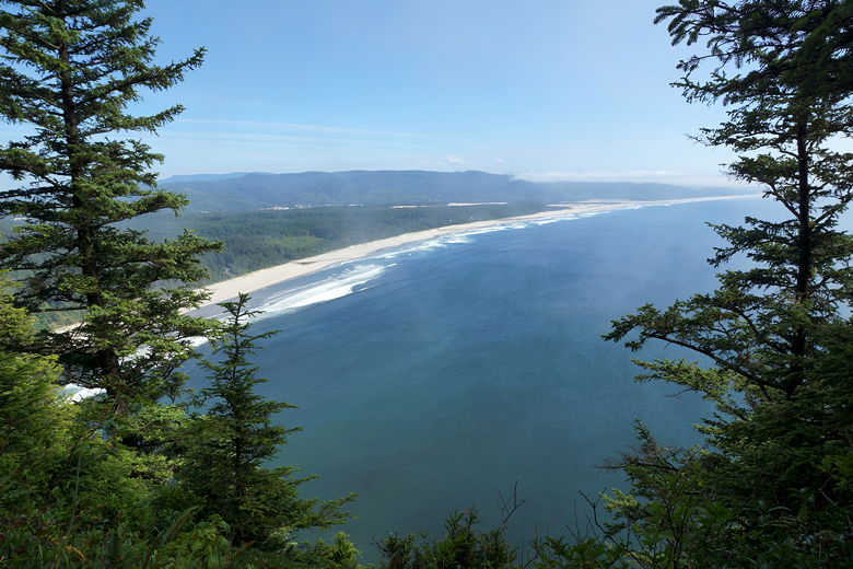
View of the beach to the south
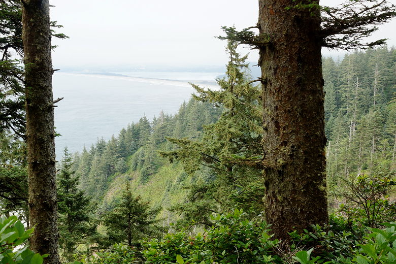
The trail turns inland and eventually provides views toward the ocean on the other side of the cape. Here there's a small fence, and the trail then heads back in the other direction. Shortly after this the trail turned muddy. We had to pick our way across the mud, even in August. There are occasional boarded sections, but mud continued to be a problem for a while. I was glad to have my trekking poles here.
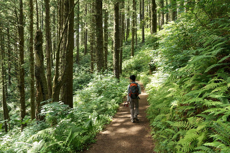
Forest covering

Exposed tree roots on the trail
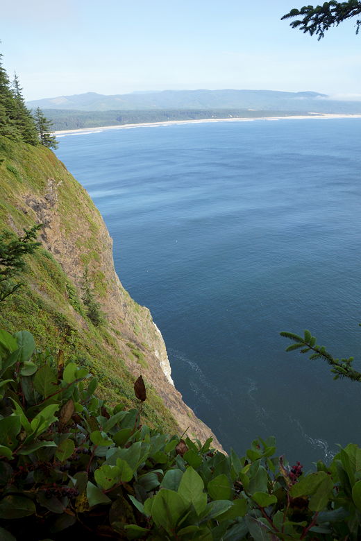
View to the south
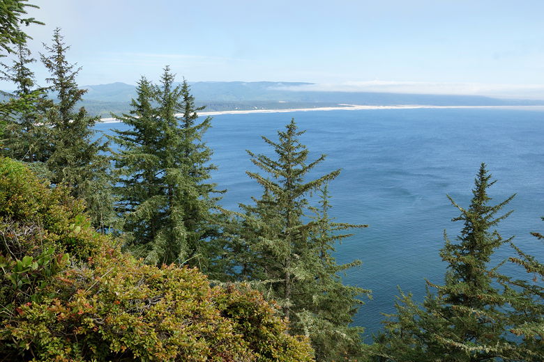
View of the beach to the southeast
After about an hour and a half of hiking, we reached the end of the trail. We were no longer under cover of forest. A small fence lined the perimeter of the lookout perch, with a single bench facing westward toward the ocean. To the honest, the views here are comparable to views earlier on the trail. You can't really see northward because of vegetation, so your best views here are to the south, which were visible near the start of the trail.
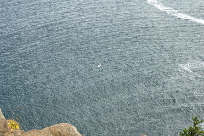
Seagull over the ocean
View from Cape Lookout
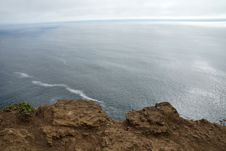
Looking out on the ocean from Cape Lookout
Still it was nice to take a break here, enjoying the sights and sounds. Seagulls and other birds flew by. After a snack break, we started the journey back. While we had encountered dozens of hikers on the way in, I didn't expect to see a lot on the way back since it was relatively late in the day (around 5:20pm by the time we headed back). Still, I counted about 15 people still heading out toward the lookout.
Looking down and at the beach on the way back
View of Netarts Bay to the north
We went back through the muddy section, then thankfully left that behind and steadily worked our way back up to the now nearly-empty parking lot. We made it from the lookout back to the lot in just over an hour of steady hiking without any stops.
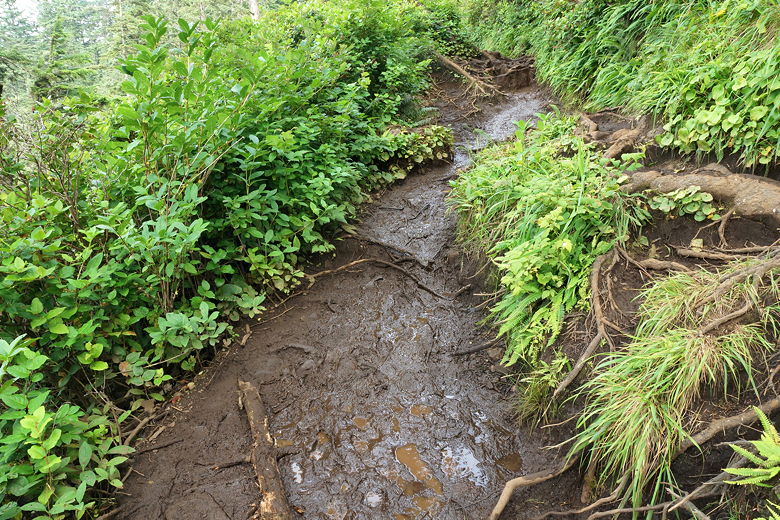
Muddy muddy trail
Return trail
| 

