|
Temperatures were in the low 80s when we arrived at Silver Falls State Park on a summer Monday. The huge parking lot was not even half full, but that doesn't mean there weren't still a lot of people here.
Starting from the South Falls parking area, we walked past the cafe and then left toward South Falls.
Very shortly there's a side trail to Frenchie Falls, but we ignored it and stayed on the main trail.
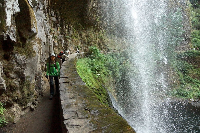
The South Falls are possibly the largest of the 10 falls you'll see on this trail. The trail actually goes behind the falls, as it does for several of the falls on this hike. Lots of people were going in both directions on this part of the trail, as it is very close to the parking area.
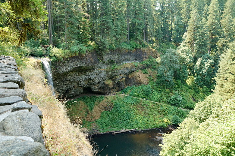
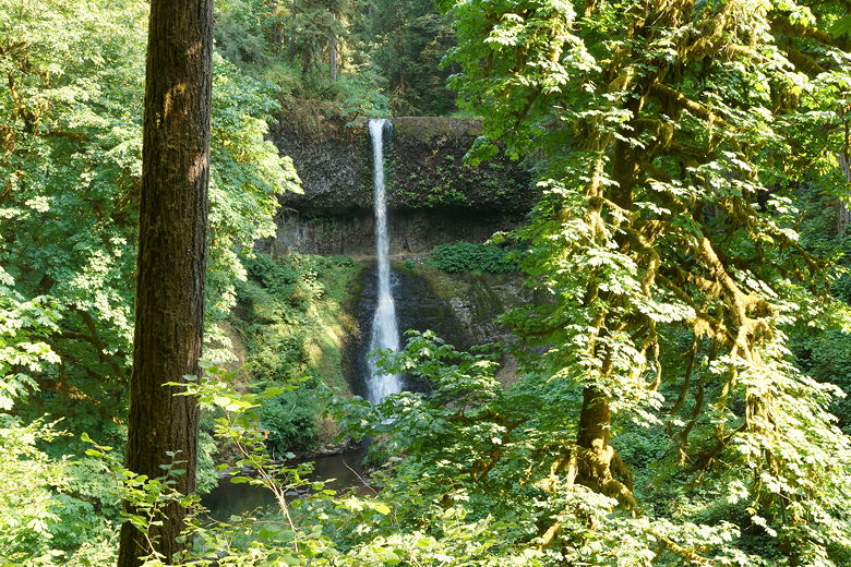
Glimpse of South Falls from above
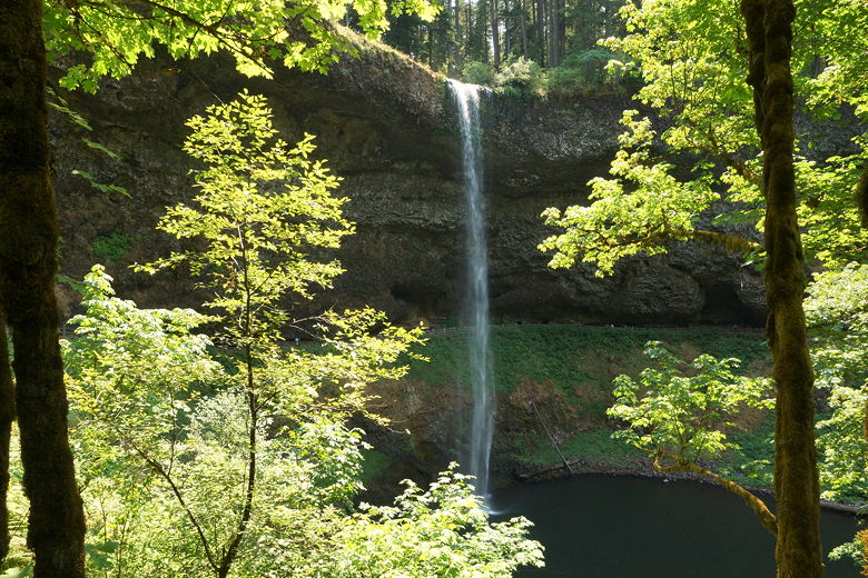
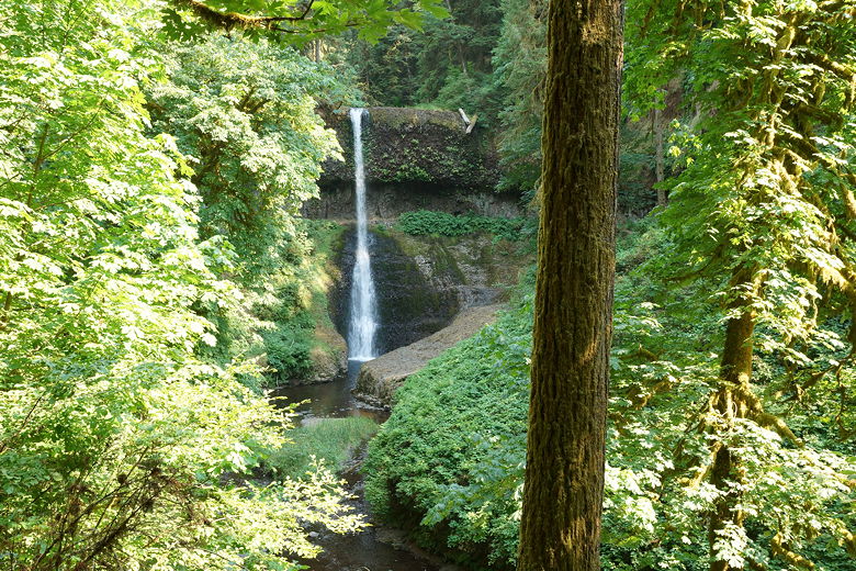
South Falls
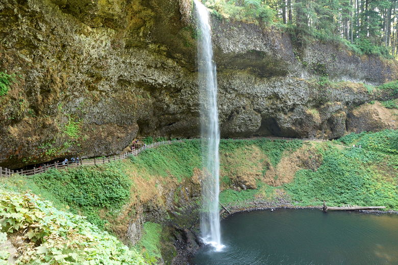
South Falls
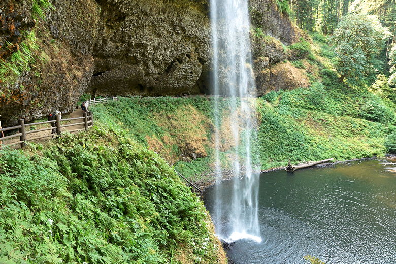
South Falls
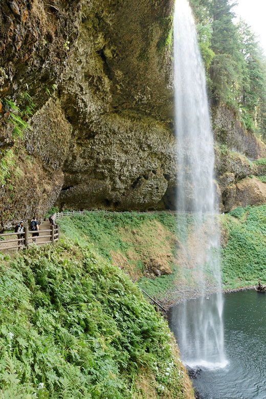
South Falls
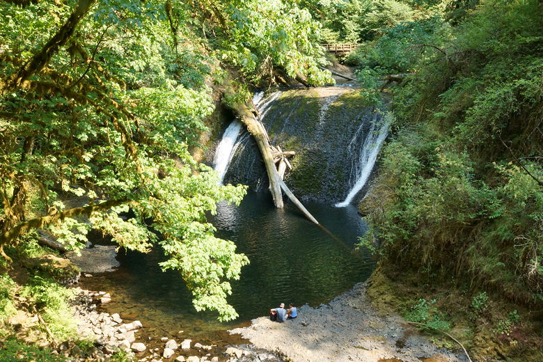
After enjoying the falls, we continued along the Canyon Trail, which parallels South Fork of Silver Creek. After about 1.3 miles of gentle, slightly downhill hiking, we reached Lower South Falls. This is smaller than the upper falls, but still pretty, and the trail also heads behind the falls.
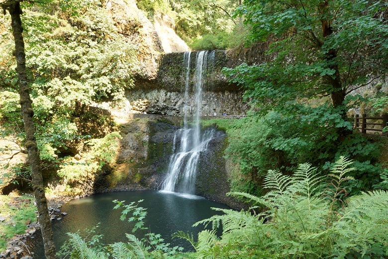
Lower South Falls
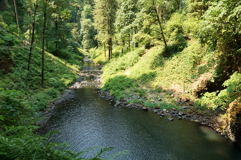
South Fork Silver Creek as seen from Lower South Falls
Lower South Falls
Lower South Falls
Shortly thereafter we reached a trail interseciton. If you don't have time, you can make a short loop by heading back up to the trailhead via the Maple Ridge Trail from here. But if you have time, the full loop is well worth it.
We took the left fork onto the Canyon Trail, which is fairly flat but gradually heads uphill along the North Fork Silver Creek. After about a mile, we reached Lower North Falls. These are pretty falls, but not overlay impressive or tall. We went to the top of them, then settled down for a late lunch near a bridge.
Lower North Falls
Trail next to Lower North Falls
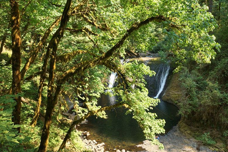
Lower North Falls
After lunch we started on the short spur trail to Double Falls. We only went a minute or two before we doubled back in disappointment, as there wasn't really much of anything to the falls. Maybe in the spring there would be sufficient water here.
Up next was Drake Falls. The falls here were flowing well, but the trail is at such an angle that it's pretty much impossible to get a good full view of them. We continued past these falls.
Shortly after that we reached Middle North Falls, which were visible and flowing, but nothing special. Shortly after this we reached an intersection.
Here, if you're pressed for time, you can take a shortcut, taking the Winter Trail to the right to cut the loop short.
Middle North Falls
Middle North Falls
We continued straight on the Canyon Trail. Up next was Twin Falls. Again, there was no good viewpoint of these falls. There's a side trail to the left to a trailhead here, but we
stayed on the main trail.
Mossy tree
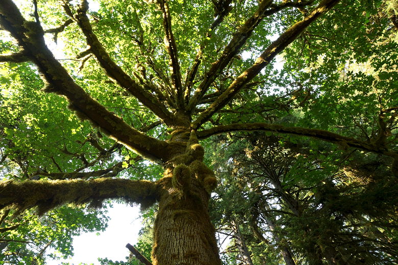
Looking up at the mossy tree
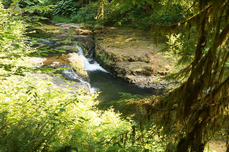
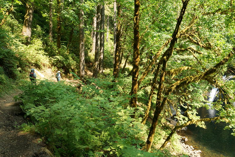
North Fork Silver Creek
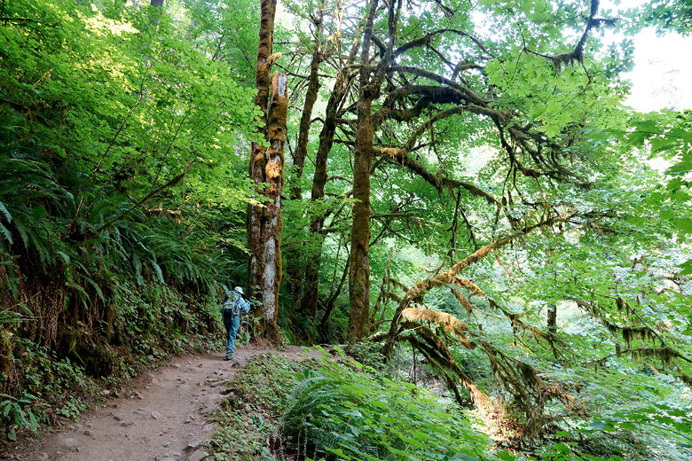
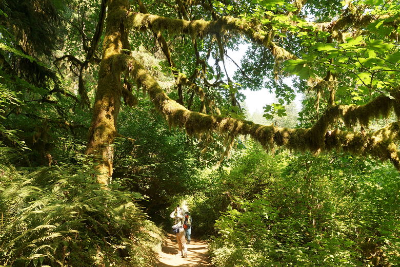
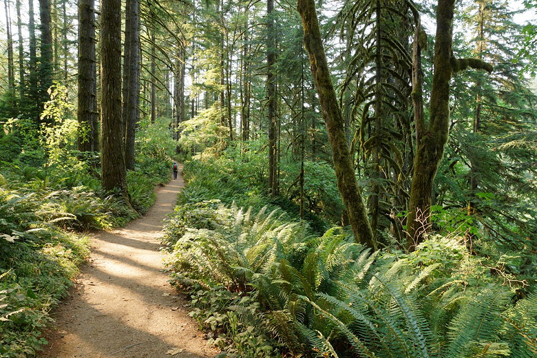
Canyon Trail
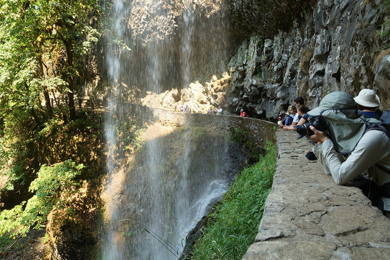
The trail started to climb a bit more steeply now. It climbs for about a mile more to reach North Falls. These were another set of impressive falls, with the trail going behind the falls in a large arc. We saw more people here, probably since we were close to the North Falls trailhead. After enjoying the views of the falls, we followed the trail as it climbs a set of stone steps uphill.
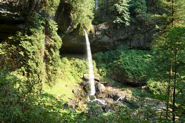
North Falls
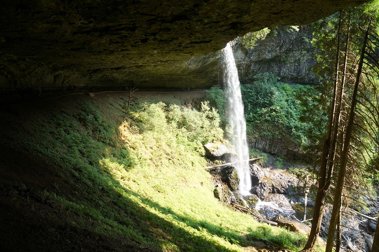
North Falls
Soon we could see the North Falls trailhead parking area, but we were not going there. We made a sharp right and started the descent on the Rim Trail. The trail parallels the park road, which is a stone's throw away. After about a mile we reached the Winter Falls trailhead parking, but continued on the trail toward the South Falls area.
(Note, Winter Falls held to its name, as it was completely absent on this summer day.)
Rim Trail
We could see the bike path on the left, and it soon criss-crossed the trail. Finally, we crossed a picnic area and returned to the cafe, which was now closed (they close at 5pm). We reached the parking area around 5:45pm, about 4 hours after we'd started the hike. There were much fewer cars here now, but there were still large groups of people picnicking in the area.
| 

