|
We arrived at the grass parking lot at Mount Field a bit past noon. It was mostly full, though we found a spot. It was Christmas Day, but that didn't stop all the tourists from coming. The visitor center and cafe were open. We paid our parking fee, then had lunch before heading off on the trail.
The trail begins as a paved trail with a wheelchair railing lining one side. It follows a creek. The railing eventually stops, but the pavement continues on for a bit longer. Soon enough we reached a set of fences near the base of Russell Falls. You can really only see the lower part of the falls reasonably well from here. You can see there is an upper part of the falls as well, but there is no good vantage point from anywhere on the trail to see it.
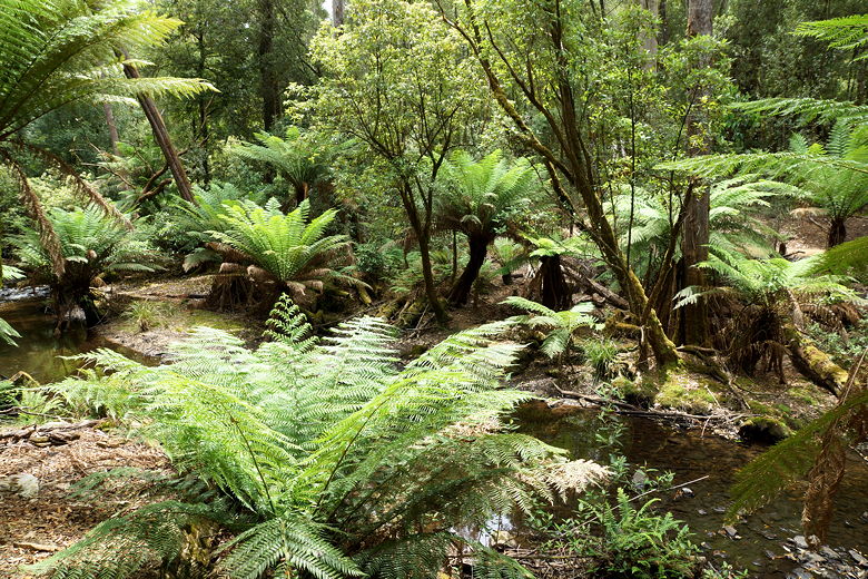
Fern-lined stream
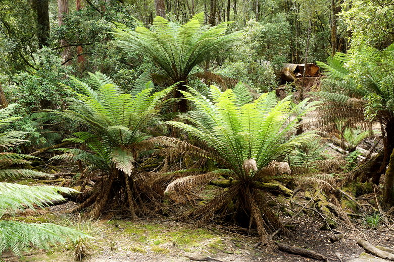
Ferns
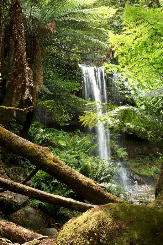
Russell Falls
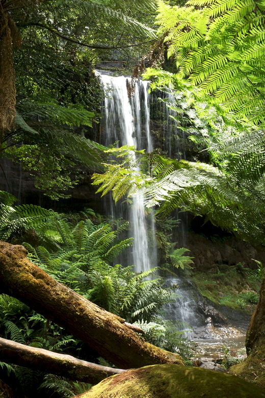
Russell Falls
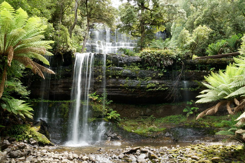
Russell Falls
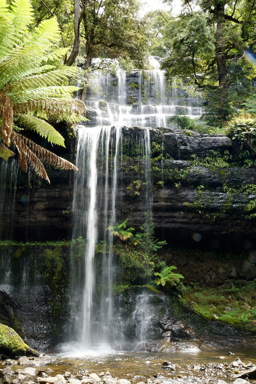
Russell Falls
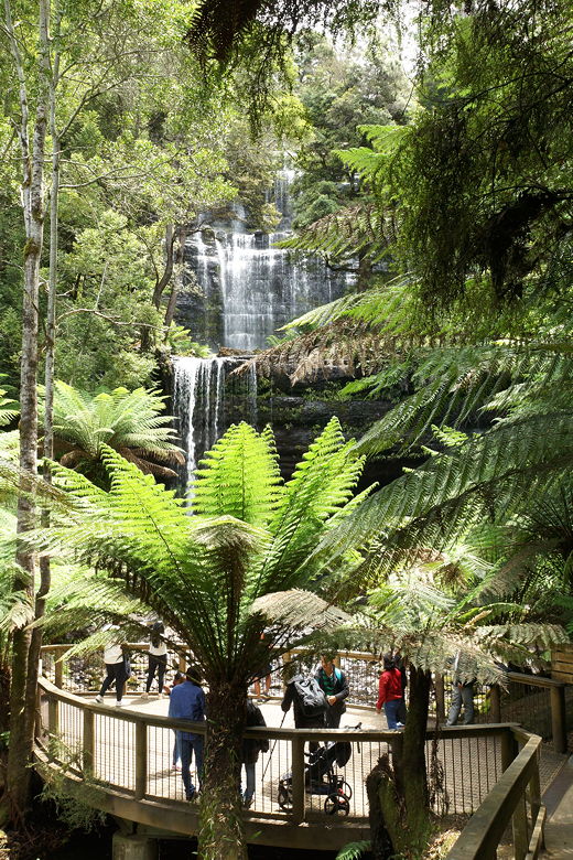
Russell Falls viewpoint
After taking some pictures amongst the crowds, we continued up the trail past the falls. The trail climbs some stairs to the top of the falls, where you can't really see anything. The trail then turns upstream from there.
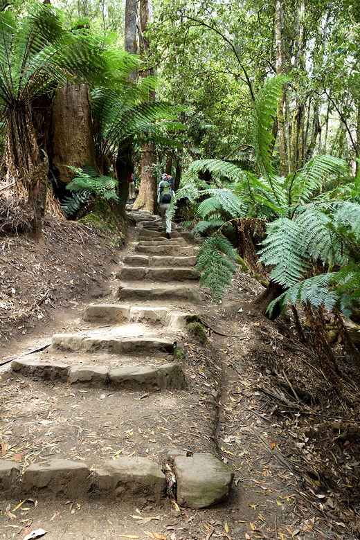
Heading to the top of the falls
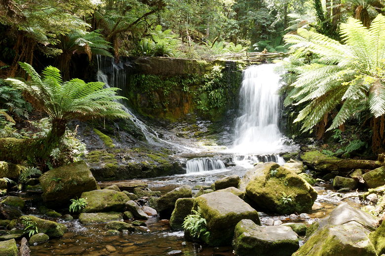
Next up, a short spur trail leads to Horseshoe Falls. It's smaller but in a nicer setting.
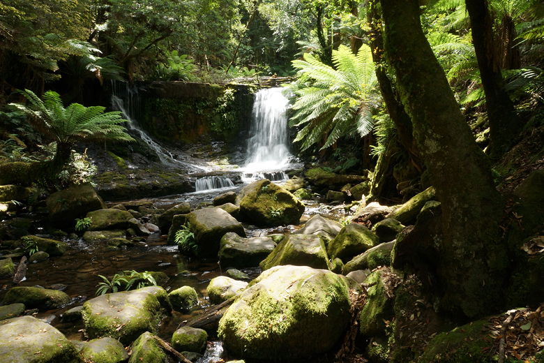
Horseshoe Falls
Horseshoe Falls
We continued along the trail, through the forest to the Tall Trees loop.
The Eucalyptus regnans found here are the tallest hardwoods in the world. The tallest here is about 79 meters (the tallest recorded in Tasmania was 98
meters high). We turned and did the left part of the loop, going past the Eucalyptus trees towering into the sky.
There are several interpretive signs, along with a telescope to estimate the height of a tree.
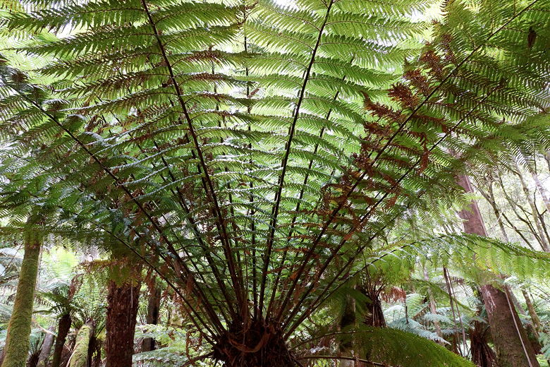
Fern
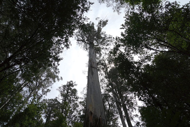
One of the tall eucalyptus trees
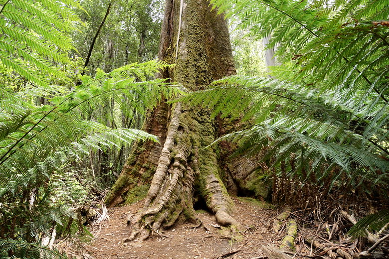
Base of a tall tree
We neared the parking area (along Lake Dobson Road), then crossed the road to head to the next falls. After more forest walking, we reached Lady Barron Falls. There was a traffic jam on the steps leading up to the tiny viewing platform. We waited for those ahead of us to leave before we could step onto the platform and take a few pictures.
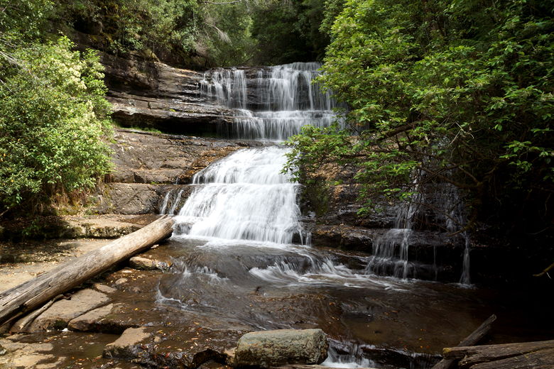
Lady Barron Falls
From there, the trail heads back toward the parking lot. Not before reaching a series of over 200 wooden stairs, though. After the stairs, the trail levels out before descending through a burnt area of the forest to the parking lot.
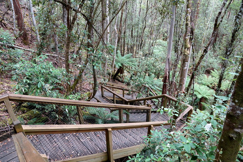
Stairs leading back to the parking lot
When we returned, the cafe was now closed (it was after 3pm), though the visitor center itself was still open, and the parking lot was much less full.
| 

