|
After lunch, we drove up to Mount Wellington, just a half hour from town. It was a partly cloudy day, but there was enough sun that I thought it was worth it. We saw great views on the drive up, though the clouds did obscure the view at times. I passed our intended hike start and ended up driving all the way to the top before turning around and finding the start, next to The Chalet. It's easy to miss.
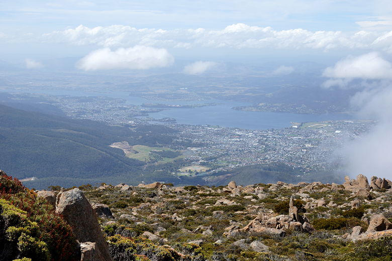
We parked in the small lot across from the Chalet. Then we started the Organ Pipes trail. It started in the forest, but we almost immediately got great views looking down to Hobart. The view was only marred by the occasional power line.
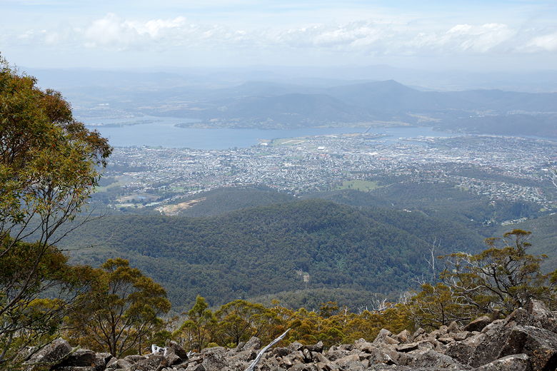
Hobart from the Organ Pipes trail
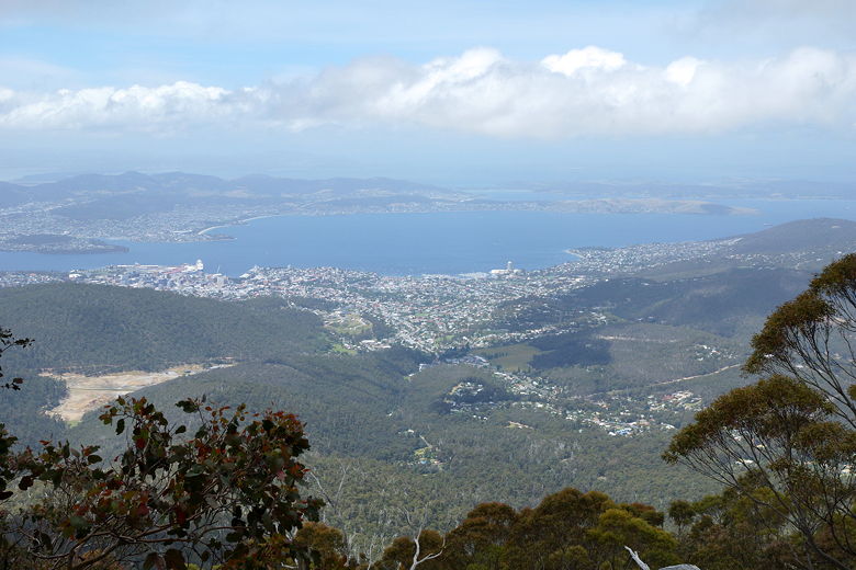
Hobart from the Organ Pipes trail
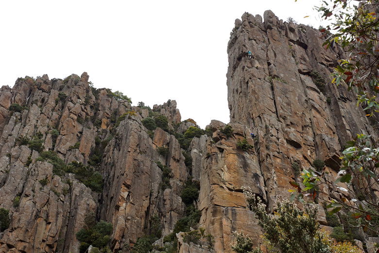
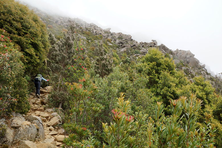
We passed through talus, most likely the remains of an avalanche. Further along, we saw the Organ Pipes to our left - tall columns on which rock climbers could be seen and heard.
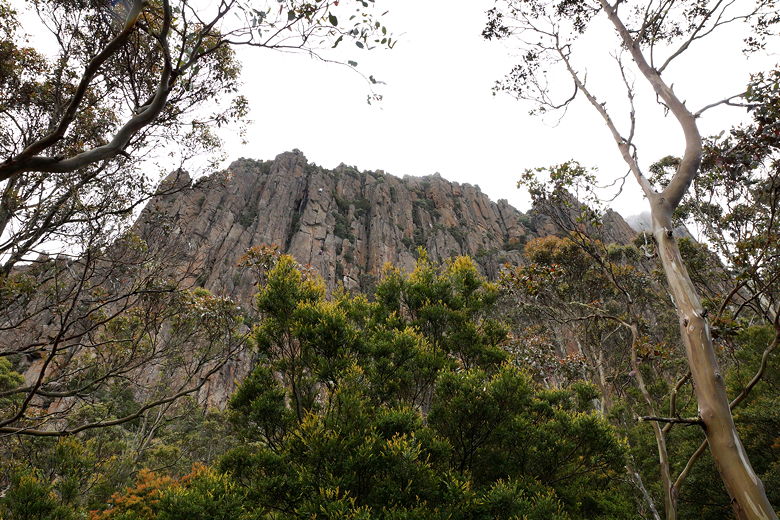
Organ Pipes
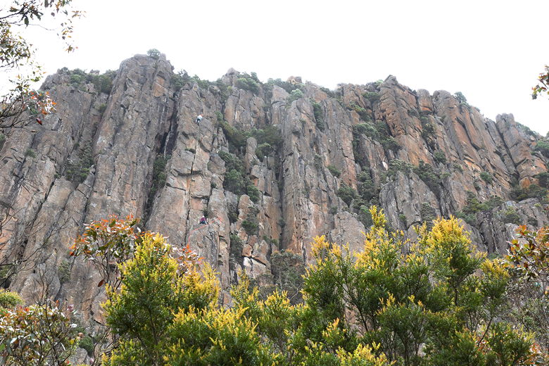
Rock climbers on Organ Pipes
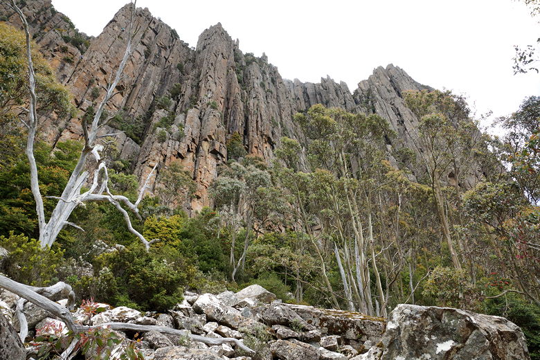
Organ Pipes
Organ Pipes
Organ Pipes Trail
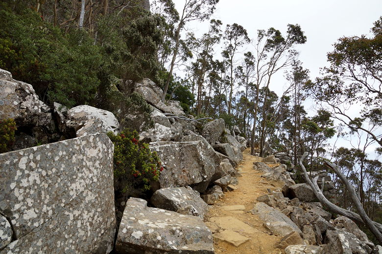
We reached our first intersection, turning right to head up the Zig Zag trail to the Pinnacles (top of the mountain). This part of the trail switchbacks steeply and over rocky terrain. There were some views of Hobart along the way, but the clouds eventually moved in and obscured most of those views.
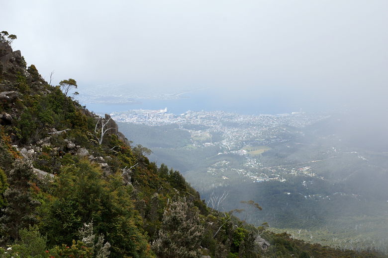
Foggy view of Hobart
Foggy climb to the top
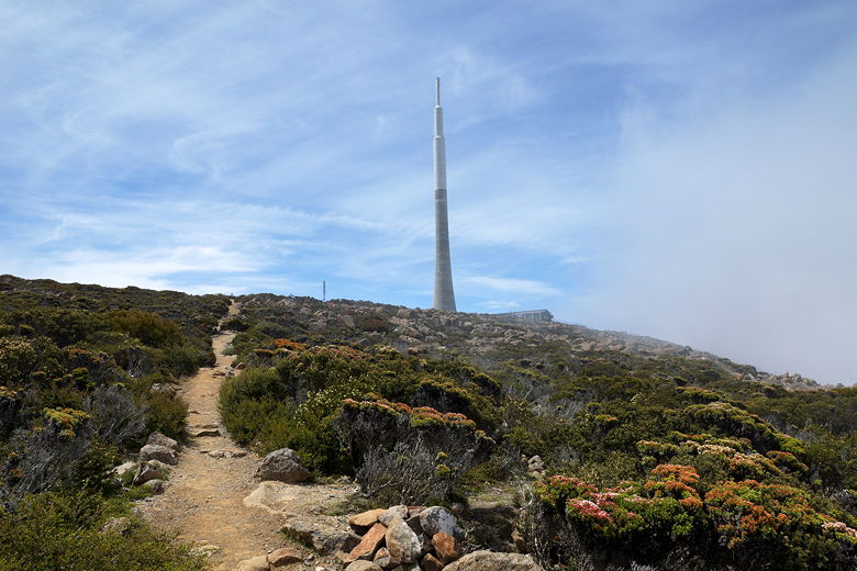
Eventually we made it up to the top, where the clouds parted and we saw a huge antenna-like structure at the top. We would later learn it's the huge steel and concrete Broadcast Australia Tower, rising 430 feet and completed in 1992. There's also a big parking lot on the large summit plateau, and lots of people milling about.
Brodcast Australia Tower on top of Mount Wellington
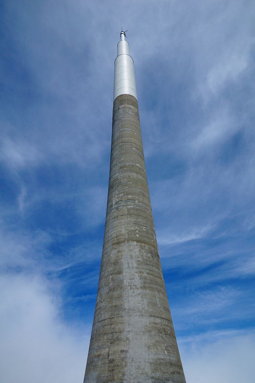
Brodcast Australia Tower
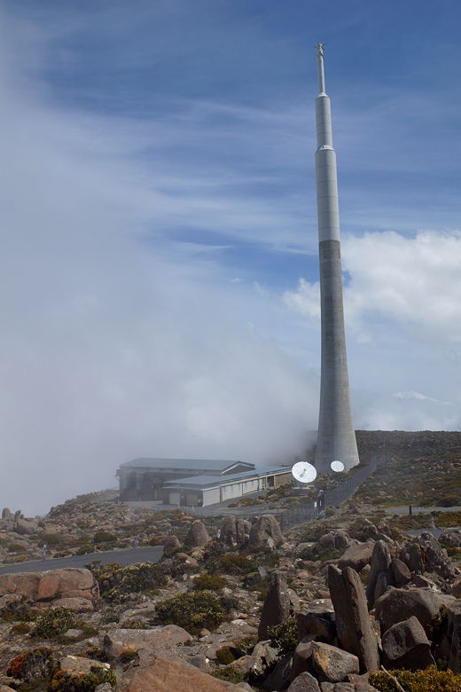
Brodcast Australia Tower
Hobart from the top
We headed down the road, past the lookouts, for about 10 minutes or so before we reached the trailhead for the Panorama trail. This was not an enjoyable stretch, as we were close to the cars on the road. We were glad to finally leave the road and start on the trail. But then I have to admit this was a crummy trail. It was steep downhill, rocky, and narrow. Plus, there wasn't much to see even when we weren't staring at the ground in front of us, trying to avoid twisting an ankle. After 20-25 minutes, we reached the road again and turned right. We now walked along the road for another 10-15 minutes until we reached the Chalet and our car.
If I had to do it again, I probably would have just returned the same way we came up rather than having to deal with the on-road sections and the crummy trail. It was probably 30 minutes faster than returning the way we'd come, but I don't think that time is worth it.
| 

