|
At the visitor center, we took the 9:45am shuttle bus to the
trailhead. The busses leave about every 10 minutes, and we'd
gotten our bus passes the day before. As we signed in at the
trailhead, we noticed a large group of hikers getting ready
as well. They'd all come in a hired van. Among them were
some women in red shirts, part of a group we'd refer to as the
group of 6. We'd see them a lot over the next few days.
We all ended up starting the trail around the same time.
There's a sign marking the beginning of the Overland Track,
and we wanted a picture there. Someone from the van group
offered to take a picture of the 4 of us there.
Then it was off onto the trail, which starts off on wooden planks
covered in chicken wire (they call it duckboard). A lot of the trail would be like
this. It made it very easy to walk, and kind of felt like cheating
to be honest. But there are areas of the trail which get
muddy when wet and this is a way of preserving the trail
(and making it easier on the hikers). (Note, I started my GPS
a minute or two late, so the GPS track is slightly shorter than
it should be.)
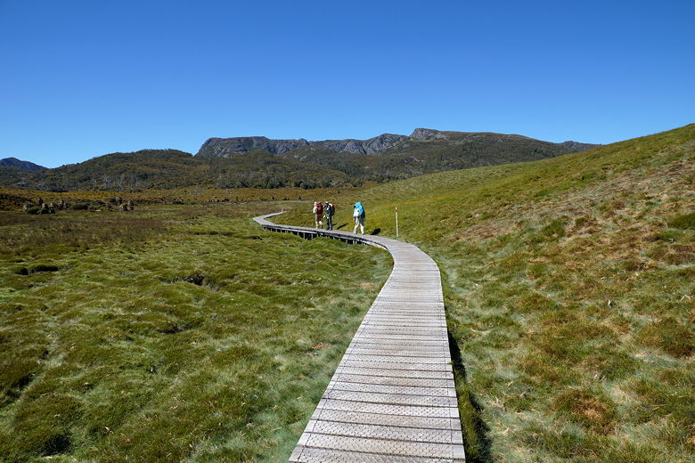
Wooden planks to start the Overland Track
We took the planks through open fields with views of the hills to
the south as the wind blustered around us. We passed some small
pandani plants. Then we crossed a bridge and started to climb
a bit, soon entering the forest. After we entered the forest
we passed a few small waterfalls, then climbed higher on some
stairs.
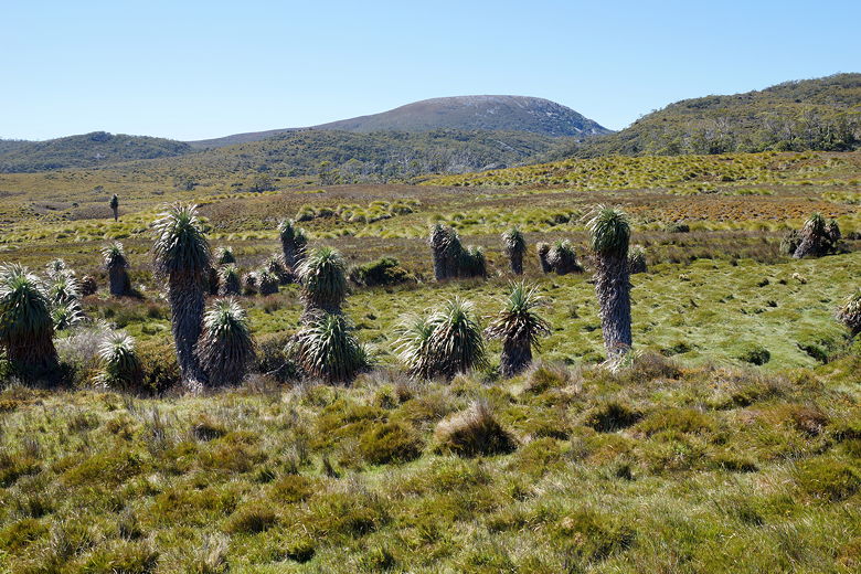
Pandani
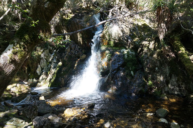
Small waterfall
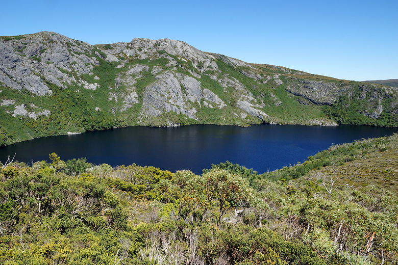
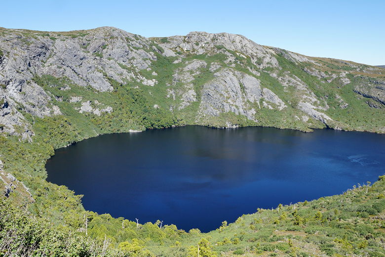
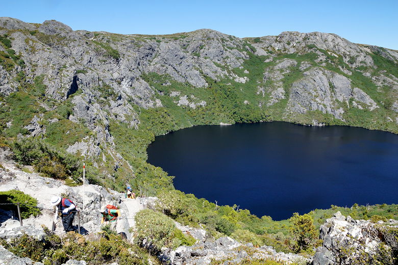
Soon we reached the edge of Crater Lake. It looks nothing like the
lake in Oregon. There was a large group of day hikers here,
who we passed as the trail climbed above the western shore of the lake.
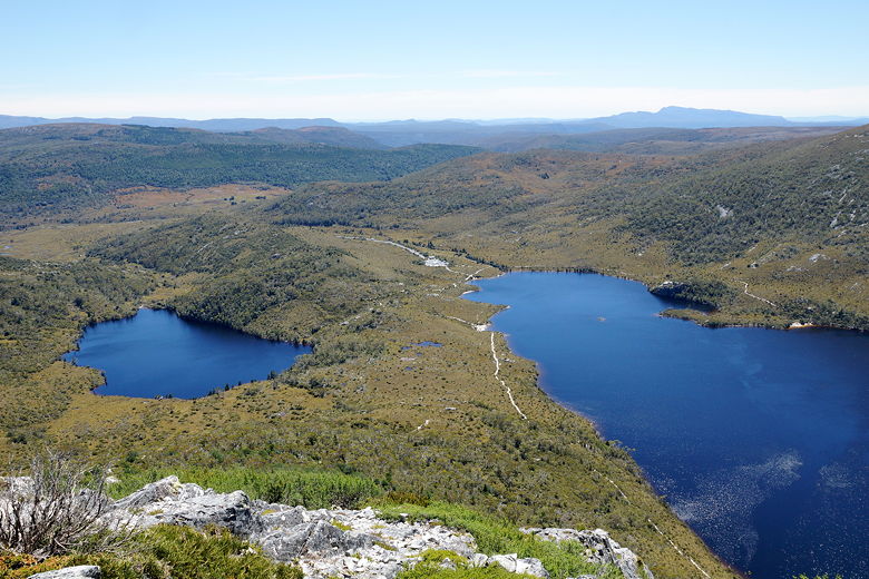
We reached a plateau of sorts, where we had views of Lake Lilla and Dove Lake to the
west.
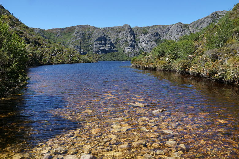
Crater Lake
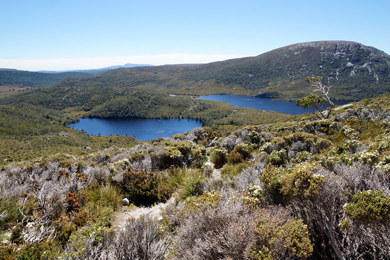
Lake Lilla (left) and part of Dove Lake
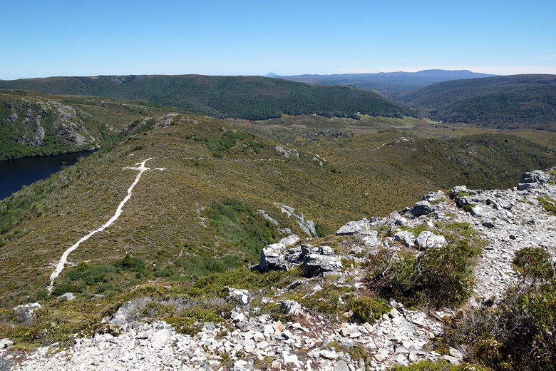
The trail then climbs again, with a daunting steep section clearly visible ahead.
The trail gets so steep near the top that there is actually a
metal chain railing for hikers to pull themselves up. We pulled
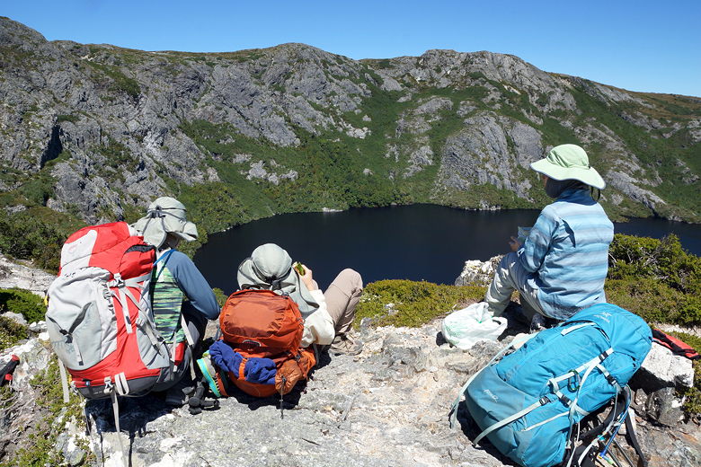
ourselves up this section of trail, then stopped for a break on the
next plateau. From here we had better views of Crater Lake, as well
as the trail we'd just walked on.
Steep climb toward Marions Lookout
Crater Lake
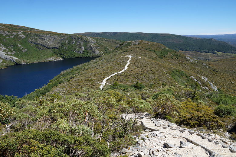
Crater Lake and the trail we'd just climbed up
Crater Lake
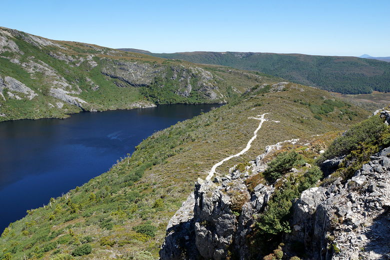
Crater Lake and the trail we'd just climbed up
The trail we'd just climbed up. The trailhead is near the top right, near the edge of the trees
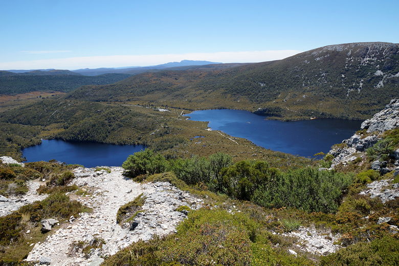
Lake Lilla (left) and part of Dove Lake
Looking down on Crater Lake
Climbing up the chains
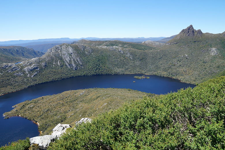
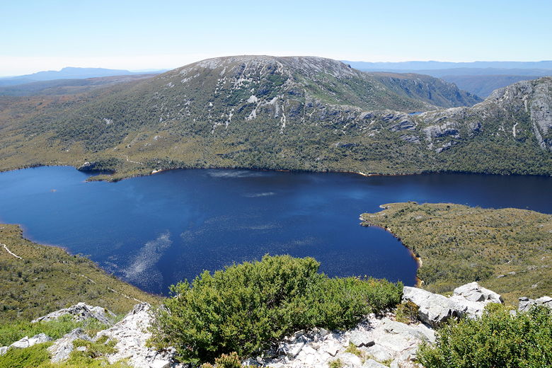
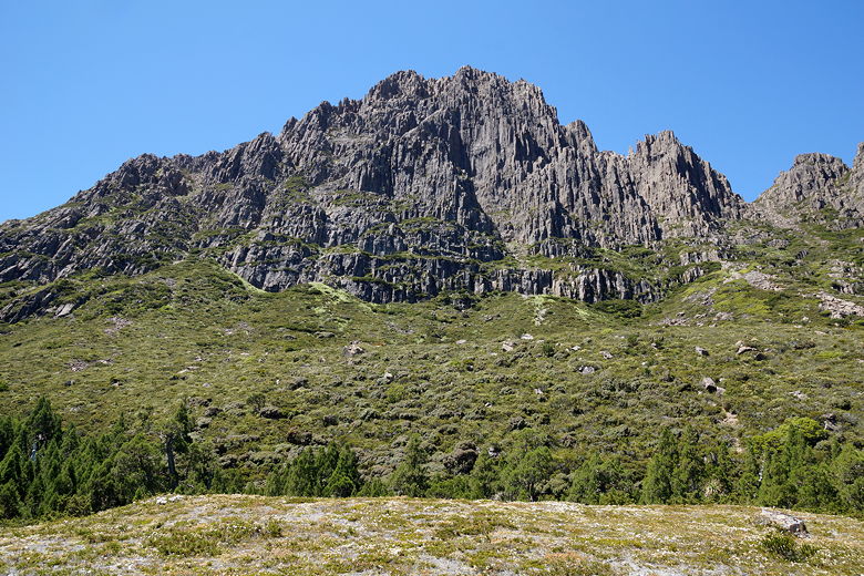
A little further on, we reached Marions Lookout. From here we had a view of most of
Dove Lake, as well as Cradle Mountain. Lots of people stopped here for lunch and
pictures, and we did the same.
Dove Lake from Marions Lookout
Dove Lake from Marions Lookout
Lilla Lake and part of Dove Lake from Marions Lookout
Cradle Mountain from Marions Lookout
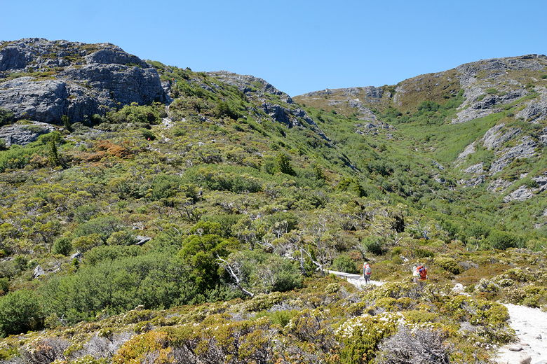
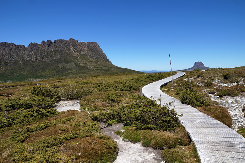
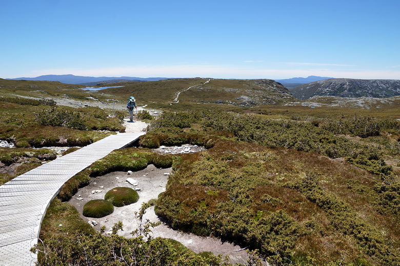
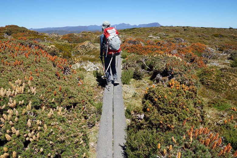
After our break, we continued south along the trail as it passes through an alpine
environment. There are more sections of planks here. Eventually the trail descends
briefly to a small old hut - Kitchen Hut. Some backpackers drop their main packs
here and climb up Cradle Mountain as a side trip. We decided not to, however, and
left the crowds (and most of the day hikers) behind.
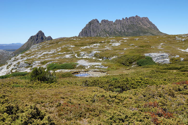
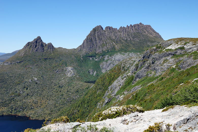
Cradle Mountain
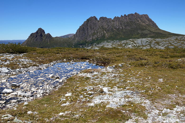
Cradle Mountain
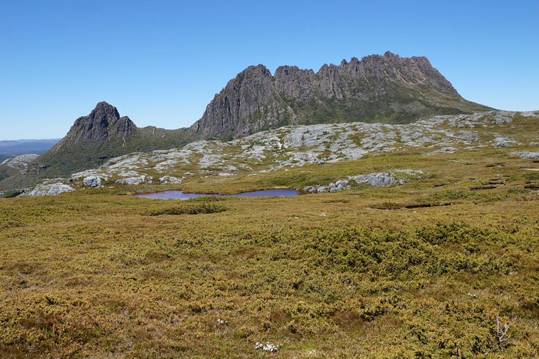
Cradle Mountain
Cradle Mountain and Barn Bluff
Wooden planks through the highest part of the hike.
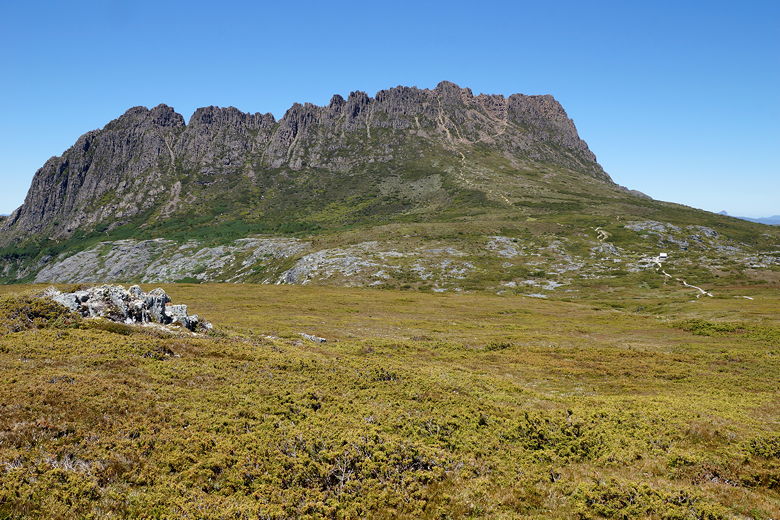
Cradle Mountain
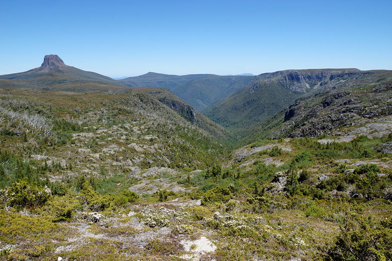
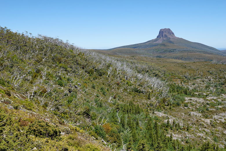
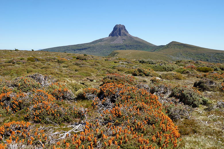
We continued along the trail, with views of Barn Bluff to the southwest. The trail
enters a forest briefly before exiting onto some more planks. We next passed
an emergency shelter that looks like a little green spaceship. The trail continues fairly
level for a while (with great views) before reaching an intersection. Here, there's a trail to the
top of Barn Bluff to the right. We took the left trail, which shortly started
descending steeply down to the Waterfall Valley Hut.
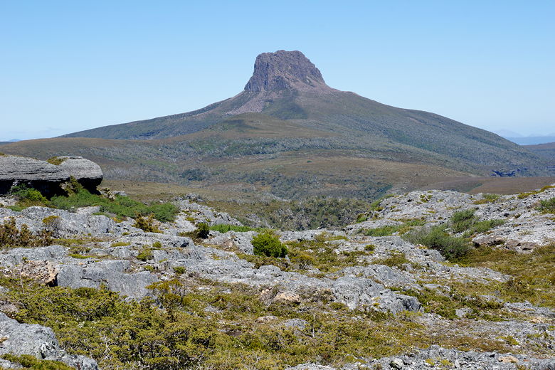
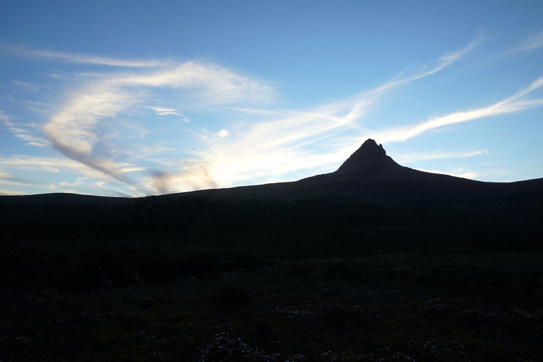
Barn Bluff
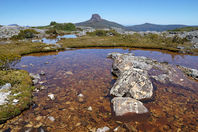
Barn Bluff
Possibly Benson Peak
Barn Bluff over the Fury River valley
Barn Bluff
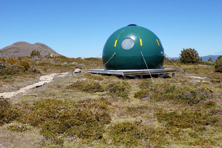
Emergency shelter
Hiking through flowering scoparia
Barn Bluff
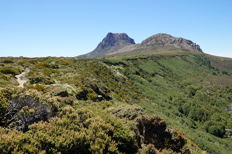
Ridge leading to Barn Bluff
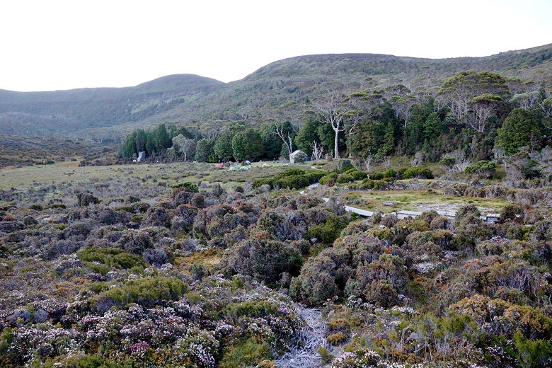
We reached the hut around 3:15pm, and were the first ones there. It's a small hut with 4
platforms large enough to sleep about 6 each. We took one of the top platforms. As
hikers started to come by, we found that most of them decided to sleep in tents tonight,
on the grass down by the old hut. For a while it looked like we might actually be the only
ones in the hut tonight, but the later arrivals opted for the hut, including the
group of 6. There ended up being about 15 of us in the hut that night.
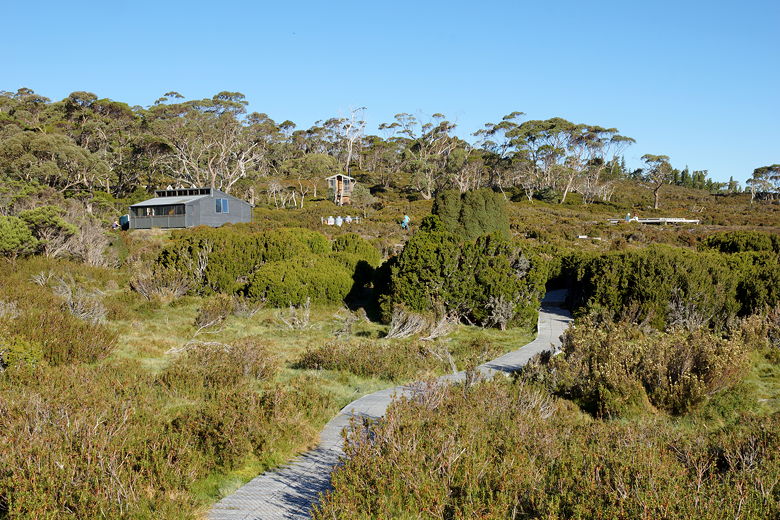
Waterfall Valley Hut
Besides the sleeping platforms, the hut has 2 metal tables, a couple other cooking surfaces,
composting toilets outside, and a helicopter pad. They use the pad to carry out waste once
the toilets are full, and to bring in supplies. There was a volunteer hut warden staying
next to us, as well.
I ventured out toward the huts and saw a wallaby in the field, though I wasn't able to get
a good picture. Some clouds moved in late and I was hopeful for a good sunset picture,
but it didn't really materialize. We didn't see any really good sunsets on the hike, and it got
dark so late (close to 10pm after a 9pm sunset) that I didn't stay up to get any night
pictures.
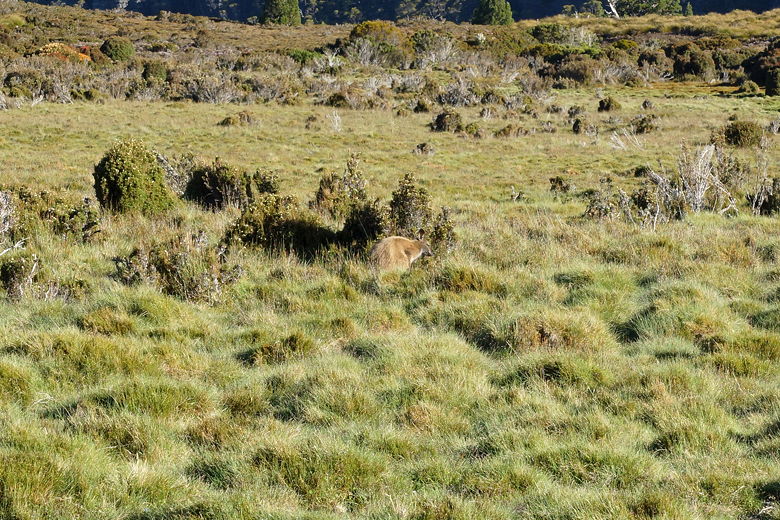
Wallaby at Waterfall Valley
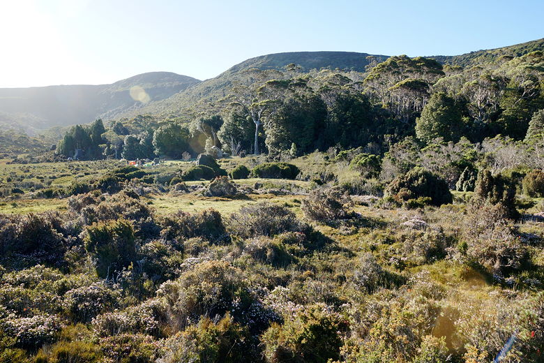
Waterfall Valley
Waterfall Valley sunset
Waterfall Valley
| 

