|
I had a hard time sleeping. Part of it may have been sleeping next to a stranger,
so I was trying to be careful not to disturb him (which I probably did anyway).
Part of it was the sleeping surface, which was not wood, but was more like a slippery
kitchen counter. My sleeping pad kept sliding all over the place. They really
need to make it a grippy surface.
The other thing that contributed to my lack of sleep was the fact that everyone
woke up early. People wanted to get up and hike to Narcissus to catch the ferry.
The ferry was scheduled to arrive at Narcissus at 9:45am, 1:15pm, and 3:45pm.
Those with reservations for the first ferry had to get up really early (probably
before 6am). The ferry only fits about 22, so reservations are pretty much
required.
When I finally dragged myself out of bed around 6:30am, everyone on the bottom
sleeping area with me was gone. Tired, I got up and had breakfast, then went about
packing. Partly because I was so tired, we didn't end up leaving the hut until
almost 9am.
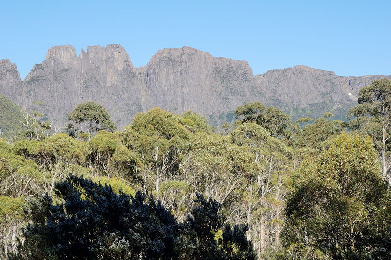
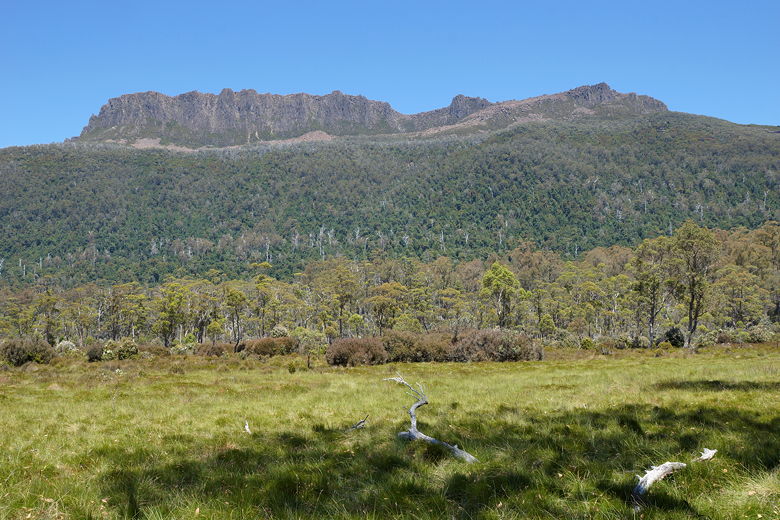
Du Cane Range
We played leap frog with a large group which included the only person we had
seen younger than our kids (a young girl). The first part of the trail is pretty
uneventful, without much in the way of views, and is downhill most of the way (though not
nearly as steep as yesterday). Eventually
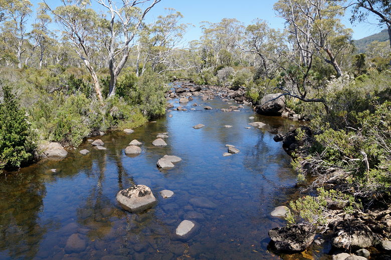
we came to a forested area with a little stream, and we took a break here.
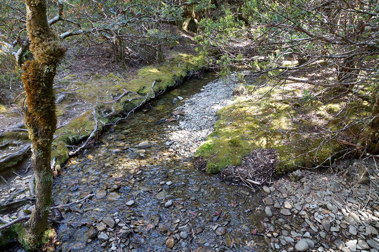
Stream where we took a break
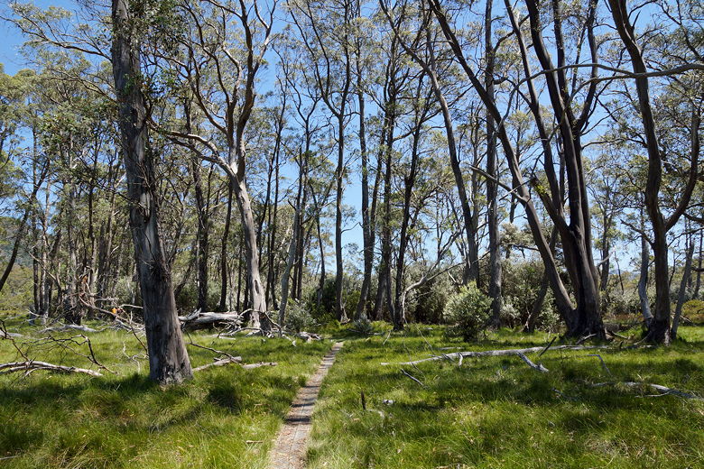
We continued through the dense forest, which eventually emerges into a more open
eucalyptus forest and flattens out. We could see a big meadow to our right as
the temperature started to rise.
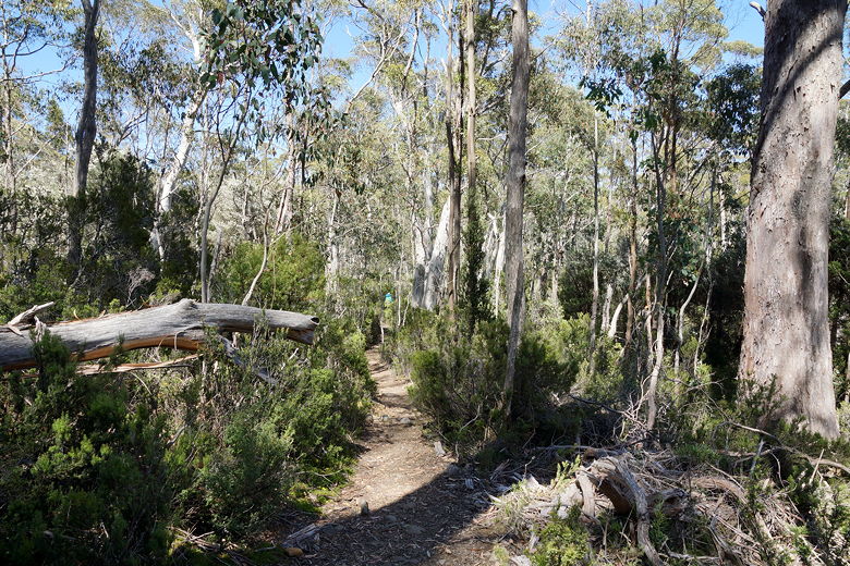
Through the eucalyptus forest
The trail then goes over wooden planks through fields, with views of the mountains
to the west. We started to see day hikers coming from the opposite direction (they'd
probably taken the ferry to Narcissus). We crossed a suspension bridge (the only one
on the trail) over Narcissus River (which feeds into Lake St. Clair). It's only
one person at a time, and you'll appreciate that as it bounces you around.
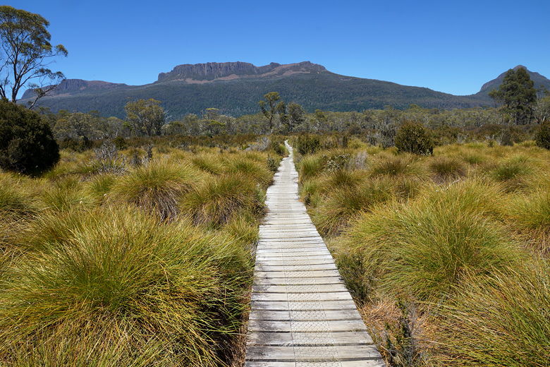
Duckboard through buttongrass toward Mount Olympus
Narcissus Creek from the suspension bridge
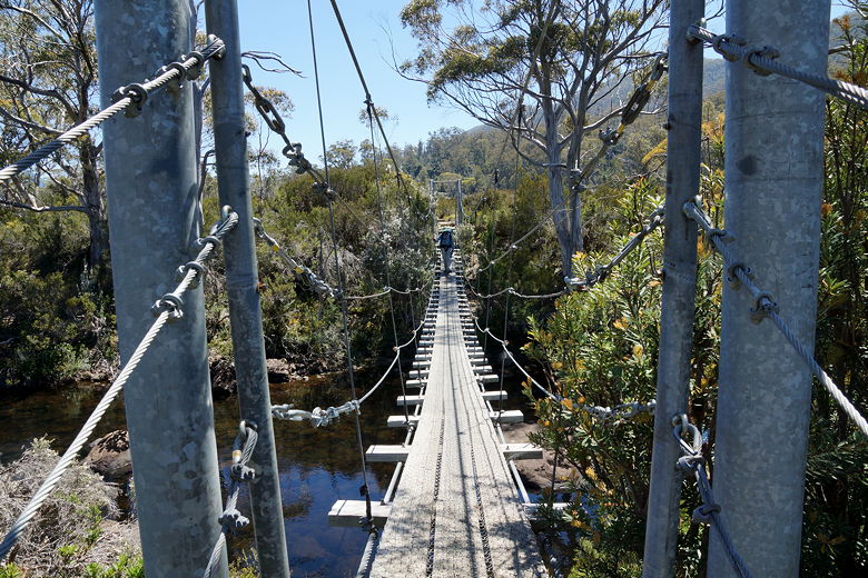
Narcissus Creek suspension bridge
A little further on, we reached Narcissus Hut at around 12:25pm. This hut was renovated in 2015, but it's
not particularly impressive. It's similar to the Waterfall Valley Hut, but not
as charming I would say. The toilet did have a sink with running water, so it does
have that going for it.
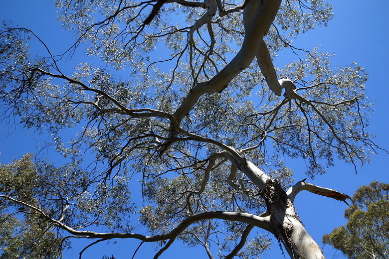
Trees at Narcissus Hut
We stopped for a break at a picnic table near the tent platforms. From here it's a short
walk down to the docks to catch the ferry, but we would be heading to Echo Point instead.
After our break, we left the crowds behind and started the trek to Echo Point. We
left Narcissus hut around 1:10pm. I didn't think it would take long to reach Echo
Point, as the map and book indicated it was only about 3.7 miles, and relatively flat.
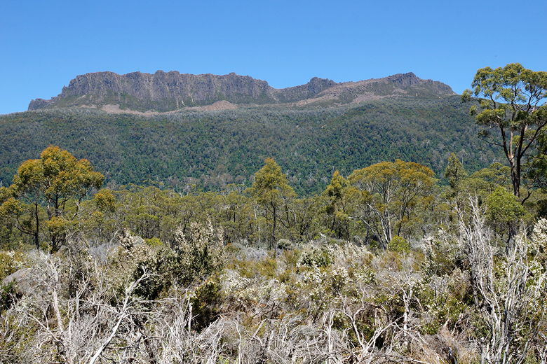
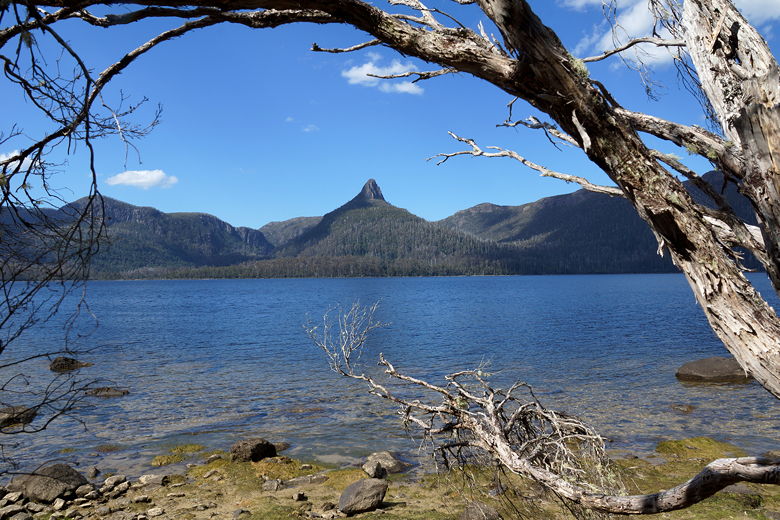
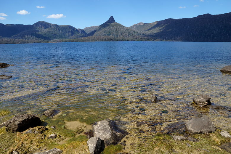
Mount Olympus
Mount Olympus
It definitely started out flat, with planks (peppered with wombat poo) heading through
the grasses, then into the eucalyptus
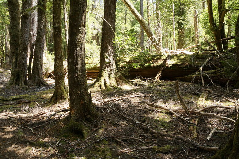
forest. After a left turn, we entered denser rain forest. Mosses and ferns lined
the trail. At this point it wasn't completely flat, with some gentle ups and downs
that slowed us down a bit.
Double planking through the eucalyptus forest
Into the rainforest
We could see Lake St. Clair to our left, and soon found a spot where we could walk down to the
beach for a short break. After the break we continued through the rain forest. This
section seemed really long since we kept expecting to reach the hut. Finally we did,
with the GPS saying it was 4.2 miles from Narcissus Hut.
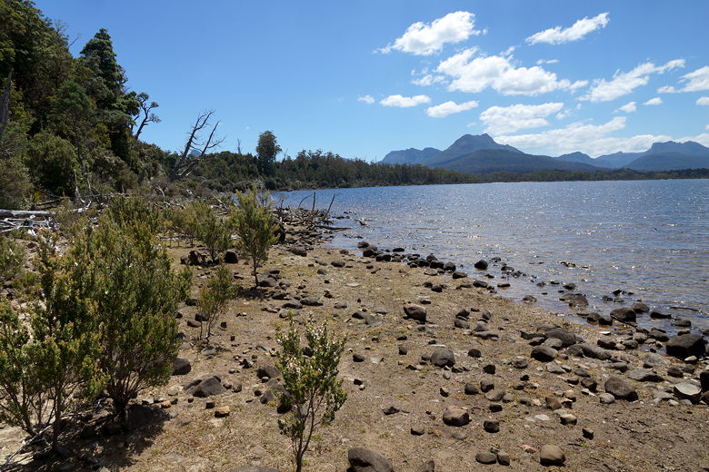
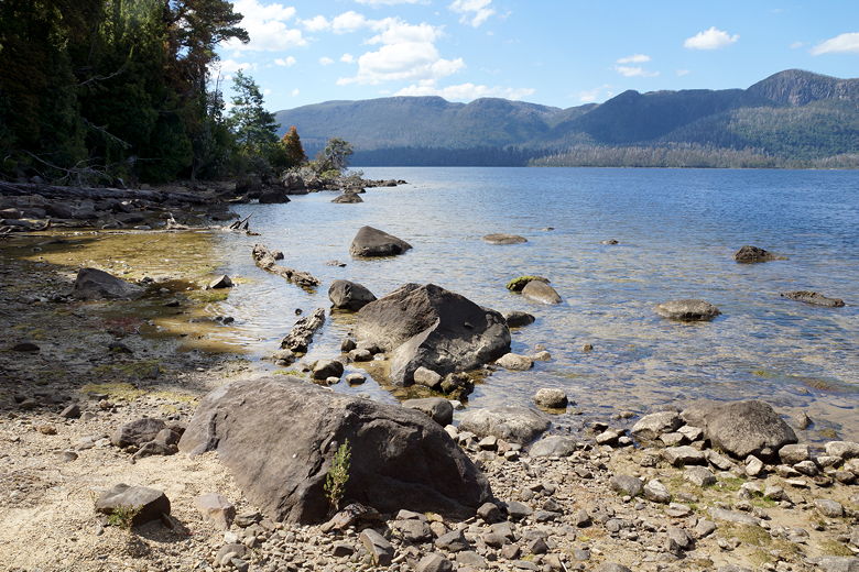
Lake St. Clair
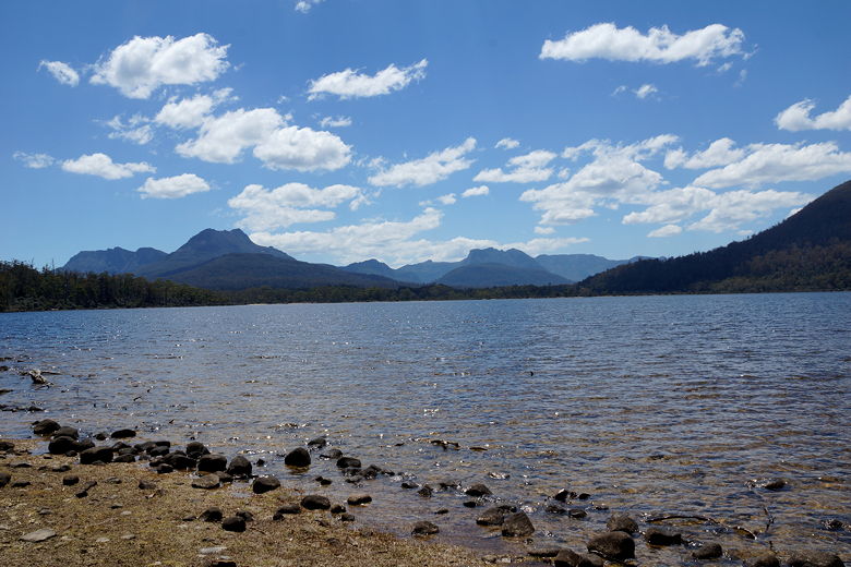
Lake St. Clair
Lake St. Clair
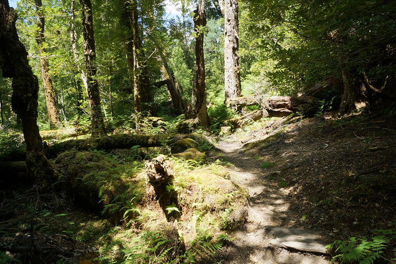
Back into the rainforest
There were already two tents and some people in the hut, but there were two other vacant tent sites.
We chose the one just steps away
away from the beach. It was a tight fit, nestled in the trees, but we made it work.
We couldn't ask for a nicer location. I went over to the hut to check it out, but it
was definitely not a place we wanted to sleep in. The bottom 4 sleeping spots were taken,
the hut was small with no eating area (just a small cooking area), and it smelled of
charcoal from the furnace. The rickety old boards give it the impression that it could
fall apart at any minute.
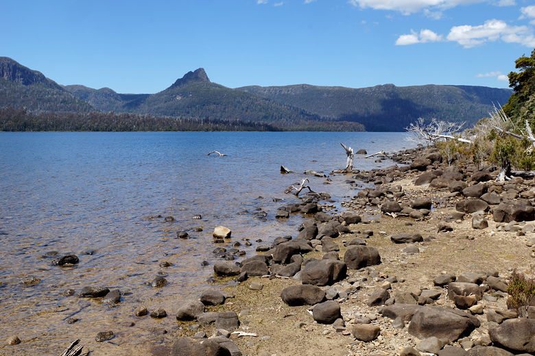
Mt. Ida over Lake St. Clair
Lake St. Clair
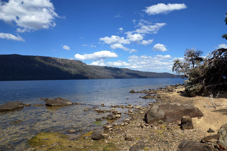
Lake St. Clair
We set up our tent and walked down to the beach. We waded into the refreshing, not-too-cold
waters. We had views of Mt. Ida to the northeast across the lake. After dinner, we
found plenty of rocks to skip into the mildly choppy waters.
Mt. Ida over Lake St. Clair
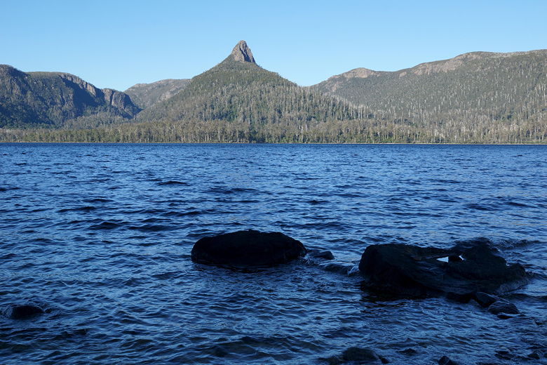
Mt. Ida over Lake St. Clair
This is the one hut that doesn't have a rainwater tank. Instead, I collected water from
a small inlet stream running through the area. You can also just collect it from the
lake. When I went to sign the log book, a man there mentioned the metal box just
outside the hut, which was used to store food because of animal problems in the area
(mostly possums). Thankfully we had our bear canisters with us, so didn't bother with
moving our last remaining food.
| 

