|
Even with Daylight Saving Time ending, the Pantoll parking lot had
plenty of space at 9:30am. The Kincade fire was mostly contained
and smoke was not a big problem. After paying for parking, we picked up
a map from the ranger and asked him to clarify the route.
We then crossed the road and went up the staircase to start the Matt
Davis Trail under sunny skies. The trail is mostly forested before emerging
to provide views of Stinson Beach and Bolinas Lagoon.
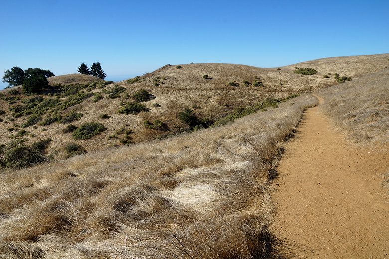
Matt Davis Trail
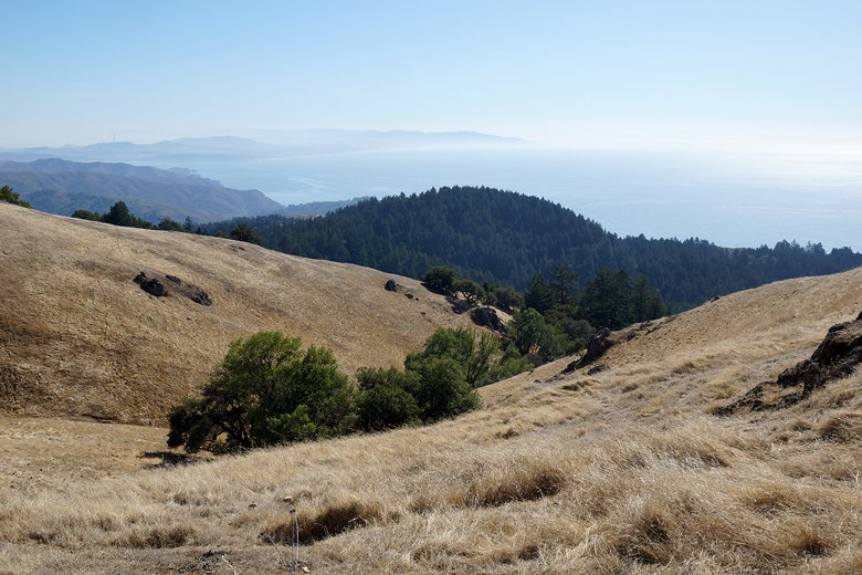
At an intersection we turned right to proceed on the Bolinas Ridge
Trail (the Matt Davis trail continues all the way to Stinson Beach).
This part of the trail has nice views of the ocean most of the way.
Eventually we turned right and crossed West Ridgecrest Blvd., then
picked up the trail a bit up the road.
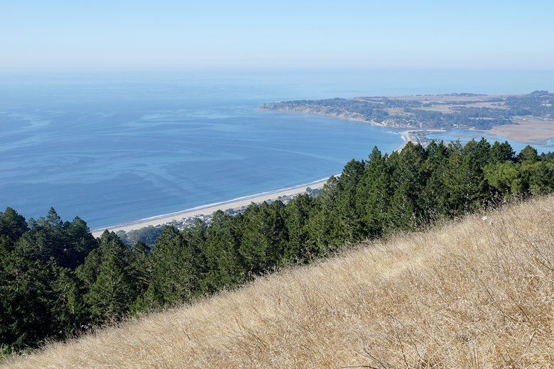
Stinson Beach and Bolinas Lagoon
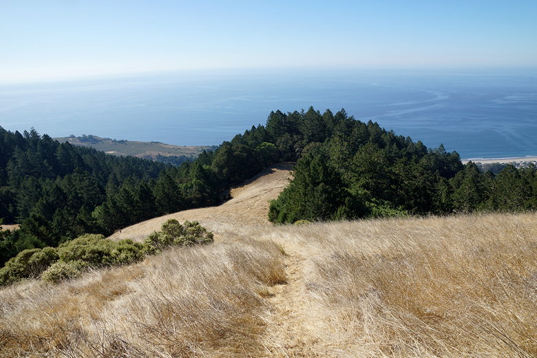
View of the ocean
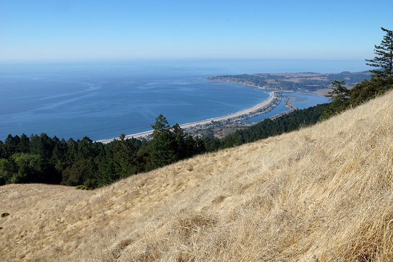
Stinson Beach and Bolinas Lagoon
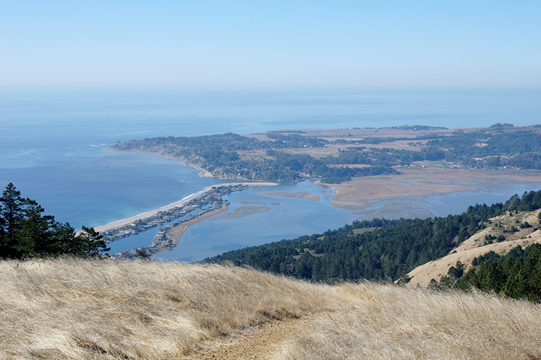
Bolinas Lagoon
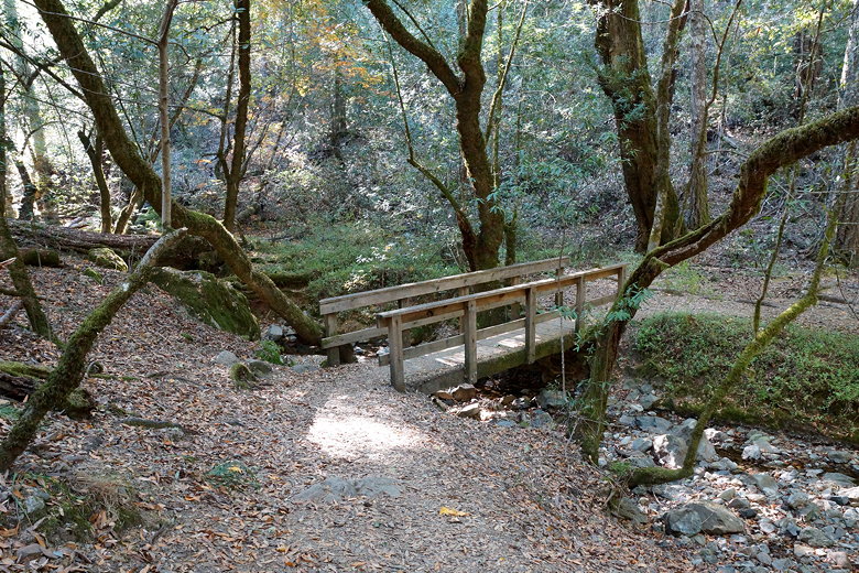
The trail descends down to Ray Murphy's Bridge, which crosses Cataract
Creek. Well, it would have crossed the creek if there was any water in it.
The creek bed was almost completely dry this late in the season. Still, it
was a pretty spot to eat lunch.
Ray Murphy's Bridge
After lunch, we turned right and headed up the Cataract Trail, which follows
the creek. This part of the trail is mostly in the forest, until we reached
the Rock Spring parking area. We again crossed the road and picked up the
trail on the other side. We were now on the Upper Old Mine Trail.
After a brief climb, we had some great views of San Francisco, with the Bay
Bridge visible, the bay visible on the left, and the ocean on the right.
We could glimpse the top of the Golden Gate Bridge as well. This
would be a fantastic place to view the sunset.
View of the ocean outside the Golden Gate Bridge
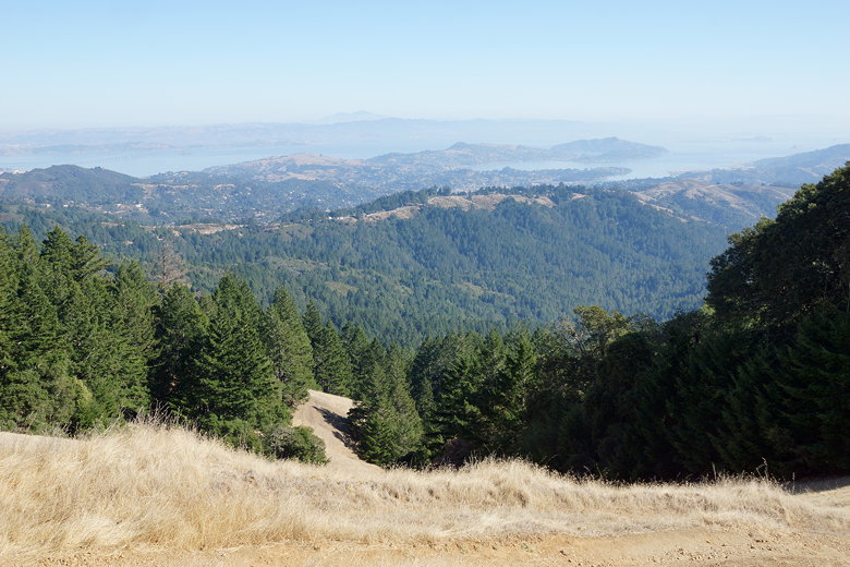
The bay, with Mt. Diablo in the distance
While we were admiring the views, we saw a lone fox on the trail. The fox
actually started walking toward us, then dipped below the trail before
traversing below us. I wish I had my big zoom lens with me, but I took
a few pictures anyway.
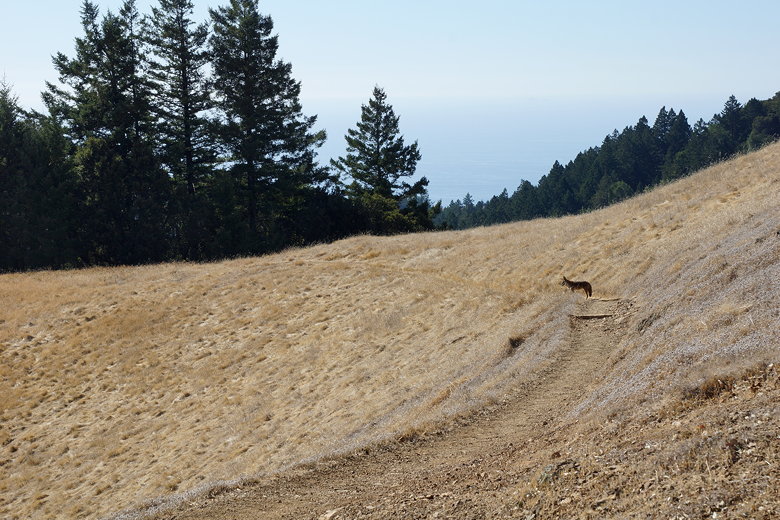
Fox on the trail
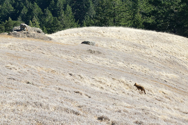
Fox
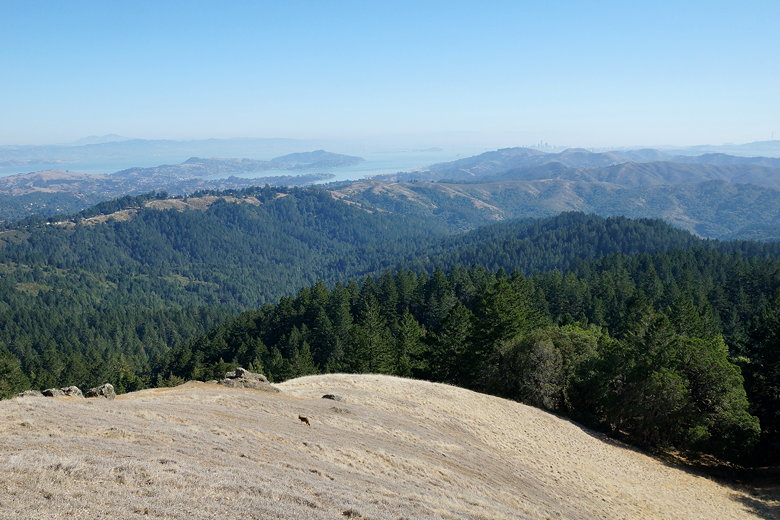
Mt. Diablo (left) and San Francisco skyscrapers (middle/right)
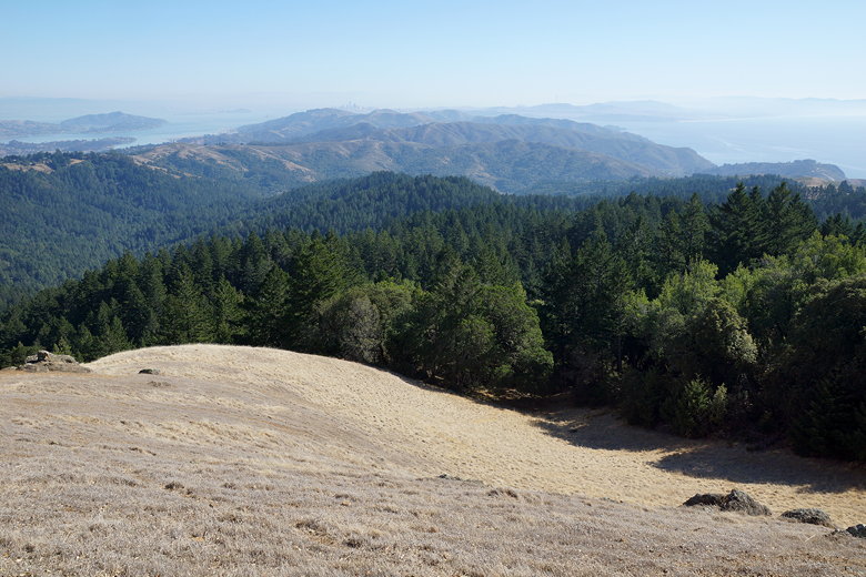
San Francisco skyscrapers, with bay on the left and ocean on the right
From there, the trail continues an easy descent. After a right turn, we
shortly reached the Pantoll parking lot, which was now completely full.
This was a nice hike with great views, but would be even better in the
spring (or a clear winter day), when Cataract Creek is flowing (in which
case you might want to take a side trip to Cataract Falls). Of course,
there would probably be more people here in the spring, so get here
early.
| 

