|
We left camp around 9am and descended back down to the main trail.
We followed the trail as it skirted the shore of the lake. After
a few minutes we saw hikers coming in the opposite way, and then soon
found the main camping area - a flat area underneath open forest
between the trail and the lake. It certainly provided easier access
to the lake than our camp did, but the views were not as good and
we would have had to share the space with 6 or 7 other campers.
So I was happy with our site choice.
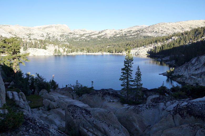
Peeler Lake

Peeler Lake

Peeler Lake
The skies were clear as we emerged from the forest and out into the
meadows. About 1.2 miles from the lake, we came to an intersection.
Signs pointed the way to Buckeye Pass (right), or Benson Lake (left).
After a brief break here, we turned left to continue toward Benson
Lake, our destination for today.
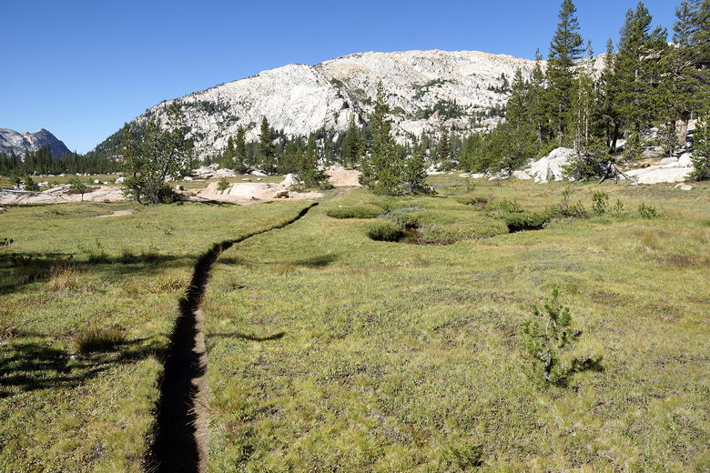
Kerrick Meadow
Kerrick Meadow
Kerrick Meadow
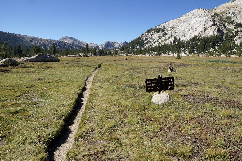
Intersection at Kerrick Meadow
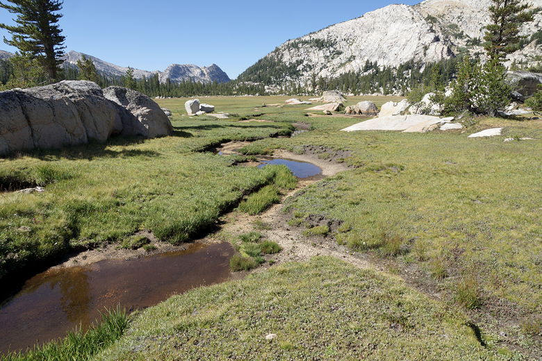
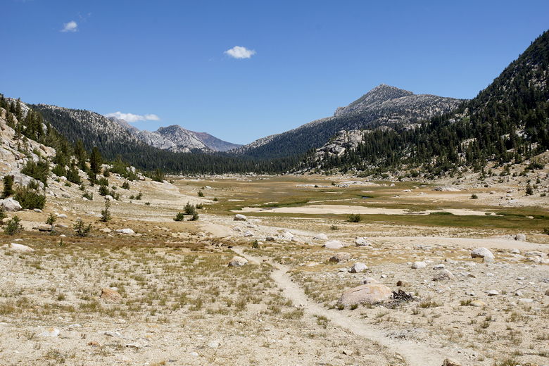
The trail is mostly level or slightly downhill for about 1.7 miles
until we reached the next intersection. To the left is a trail that heads
back up Rock Island Pass and could be used for a short loop back to
Robinson Lakes and back to the trailhead. We took the right
fork, which continues its journey alongside Rancheria Creek.
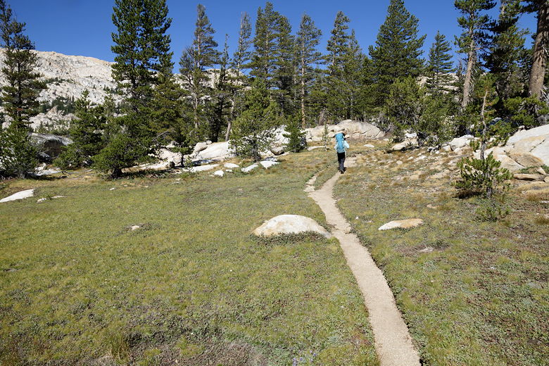
Unfortunately the trail (since leaving Peeler Lake) is almost completely unshaded,
and the heat was taking its toll. After passing two hikers in the opposite
direction (the last
people we'd see today), we stopped next to the creek to filter water.
Sunny trail
The trail finally enters some forest, and 4.7 miles from the last intersection,
we reached another intersection. To the right was the trail we'd come in on
during our trip 6 years ago. To the left was the trail we'd continue on now,
the trail up to Seavey Pass (and then Benson Lake). It's a short climb
(about 300 feet) up to Seavey Pass from the intersection. One thing I had
forgotten was that there are several little ponds and lakes once you reach
the top. We continued past them, still with the sun shining brightly,
before starting a steep descent.
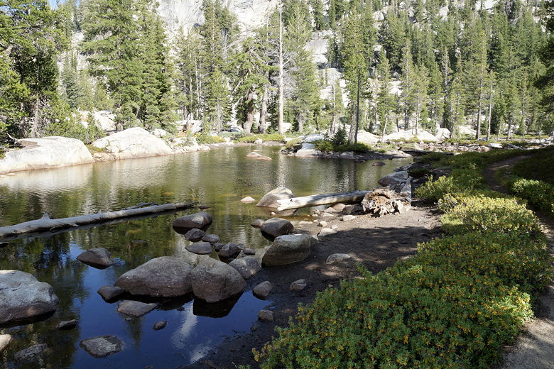
Pond at Seavey Pass
Somewhere along the way down, the sky started to darken. Sooner than I would
have thought possible, there were even a few raindrops. But it never really
rained. Soon enough we glimpsed Benson Lake below us to our right. After
more descending, we turned right at a mosquito-infested intersection to head
along the level forested path to the lake.
The lake was the same as I remembered, but also different. Last time, we had
arrived after a shorter hike and under bright sunny skies. This time, we
were tired from a long day of hiking and the skies were overcast. Just like
last time, we had the whole beach to ourselves (last time, there was a CCC camp
at the far end).
We set up camp in the exact same spot as last time, in the forest on the edge of
the beach. I would say that one downside from camping here (as opposed to most
lakes in the Sierra) is that there aren't any rocks to sit on. So cooking and
eating are a bit more challenging (we sat down on our bear canisters and pack
covers). It didn't feel as magical as the first time we'd visited, but it was
still a nice place to camp.
| 

