|
It was a warm sunny spring day as we prepped in the far parking lot at the
Bear Creek staging area. I'd hiked to Briones Peak years ago, but from
the Alhambra Creek staging area instead. This time we'd be doing a loop
on the western side of the park.
There are three parking lots at the Bear Creek staging area - two paved
ones (one on the left, one on the right), and then the far gravel lot
which is where we parked. The trail here isn't the one we wanted to
start with, though, so we walked a short distance back along the road to
the first paved lot and started off on the Briones Crest Trail.
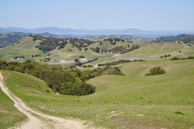
The Briones Crest Trail starts climbing almost immediately, starting as
single track but is a wide dirt road for most of the hike. We soon
saw bright orange poppies on either side of the trail; they would be
a common sight through the hike, along with lupine as well.
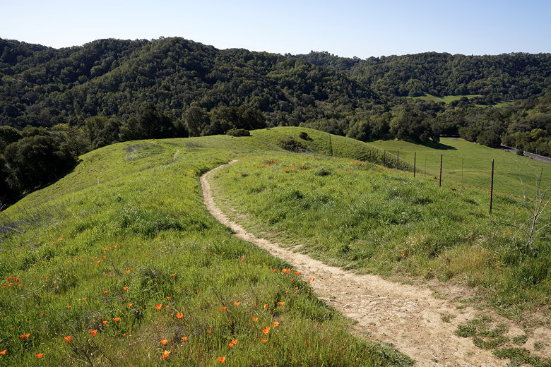
Poppy covered hill
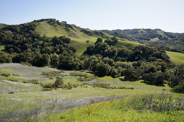
View from the Briones Crest Trail
More views from the trail
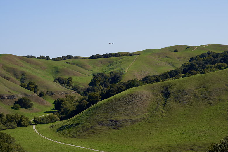
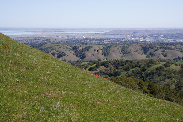
After gaining some nice views and seeing some raptors (probably
turkey vultures), we saw the first of many cows. As we continued
climbing, we gained views of the Carquinez Strait to the north (left).
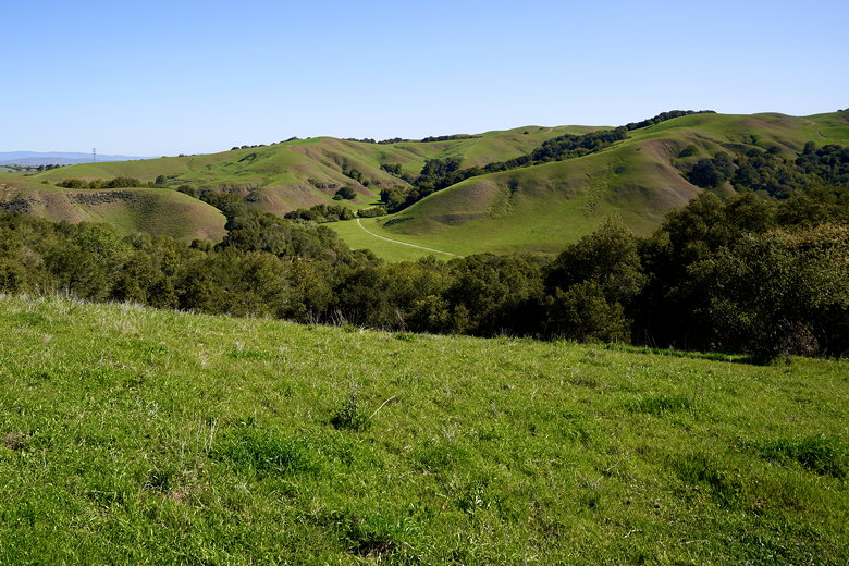
There were several well-signed trail intersections along the way,
and we continued to stay on the Briones Crest Trail.
Raptor over the hills
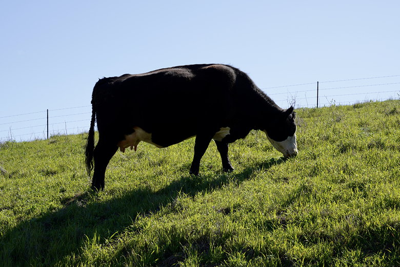
Cow next to the trail
View of Carquinez Strait
Suisun Bay
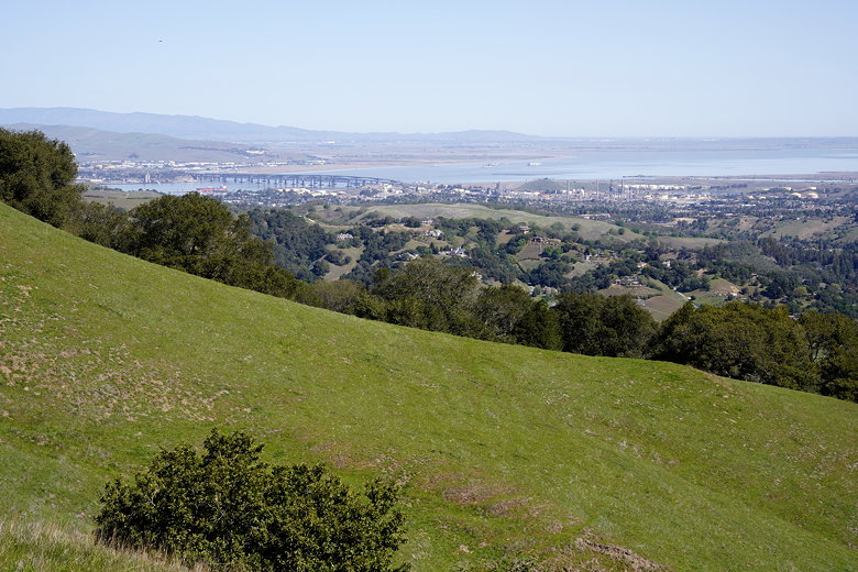
Benicia Bridge
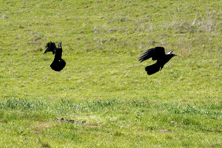
Ravens
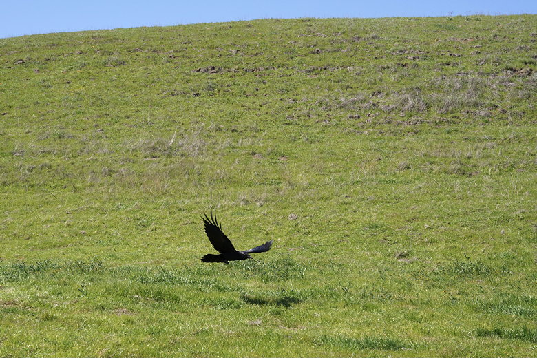
Raven
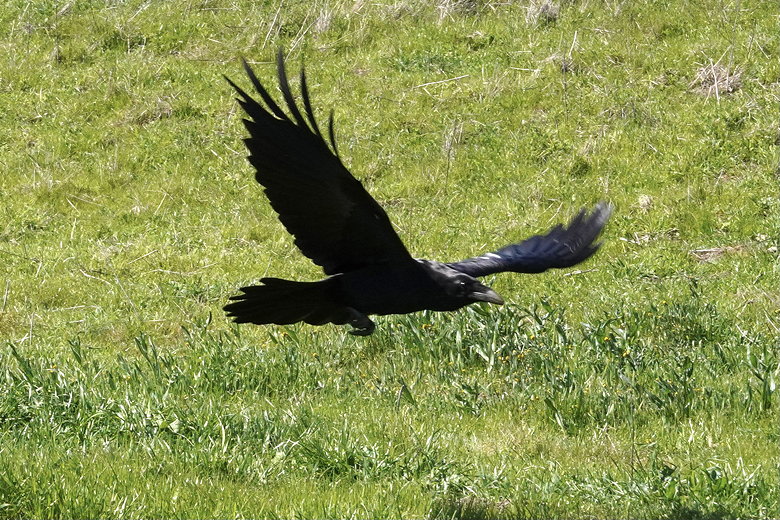
Close-up of raven
Even though it was a weekday, we did encounter a few other hikers,
as well as the occasional mountain biker and I think one equestrian.
Further along the trail, we encountered a lone coyote. He trotted off to our right,
ahead of us, pretty much ignoring us.
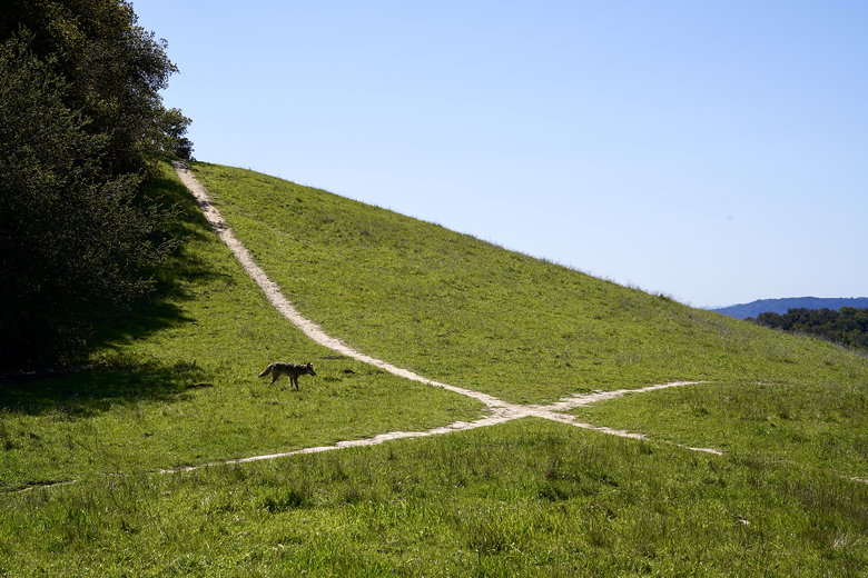
Coyote
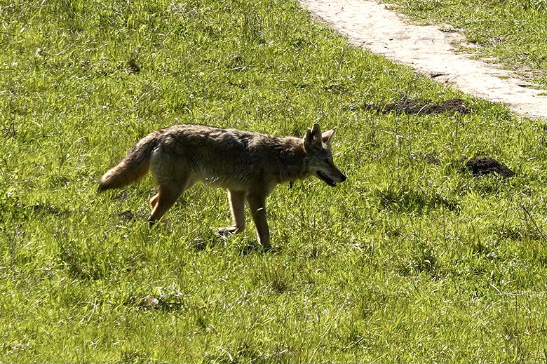
Close-up of Coyote
When we came to an intersection for the Table Top trail, we continued straight
onto that trail (instead of turning right to continue on the Briones Crest Trail).
Both trails end up in the same place later, but the Table Top trail leads to
a bench with some nice views of Mount Diablo.
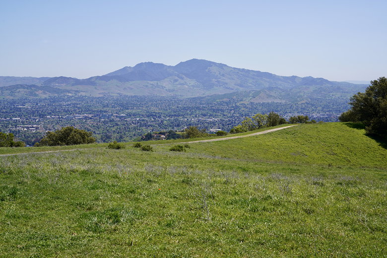
Mount Diablo
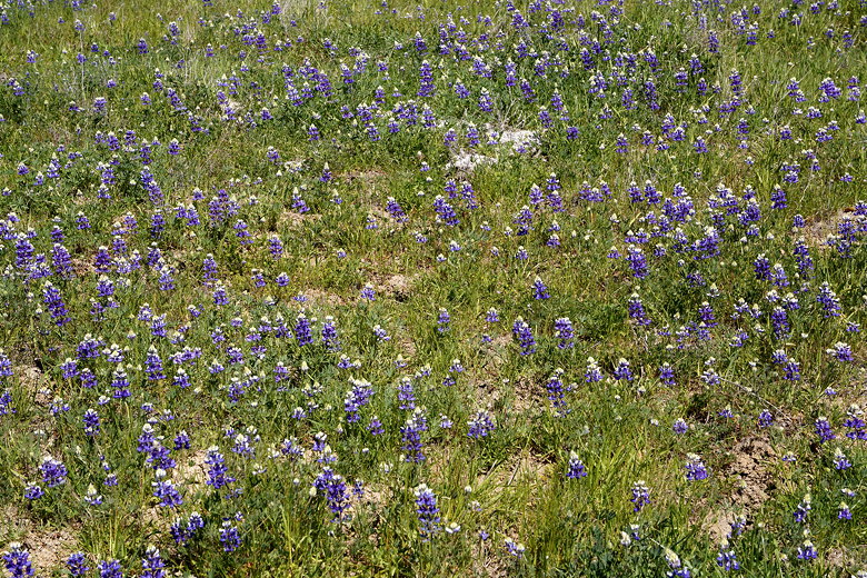
Lupine
After a brief snack break at the bench, we continued down the Table Top trail.
We soon met back up with the Briones Crest Trail and continued down that until we
turned right onto the Seaborg Trail. As we got closer to the parking lot,
we encountered a ranger who was using a chainsaw to clear a large tree branch that had
recently fallen onto the trail. He mentioned that we had just passed the
archery range, though we hadn't noticed.
Soon enough we returned to the parking lot, still under bright sunshine.
| 

