|
Having biked up and down Page Mill Road several times in the past, I had looked into Foothills Park
in Palo Alto over 20 years ago. At the time, I was surprised to learn that it was
only open to residents of Palo Alto. Apparently the city of Palo Alto had purchased
the land and decided that since they'd purchased it, they wouldn't let anyone else
use it (the park opened in 1965, and the resident-only restriction started in 1969).
I had read that enforcement was limited, and that you could sneak in, but I
decided then not to visit on principle. I shouldn't have to be a scofflaw just to visit a
park that should be open to all.
Fast forward to 2020, and a growing movement to open the park to all. The Palo Alto
city council finally caved, and the park opened to all in December 2020. And then I...
waited. I figured it would be crowded with new visitors at first. But today I had
a day off from work, so I figured if I got there early enough in the morning, it would
be ok. I arrived around 8:30am (the park opens at 8am), and the entrance gate wasn't
even staffed and there were hardly any cars yet.
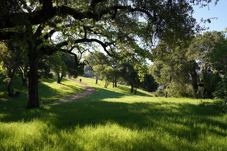
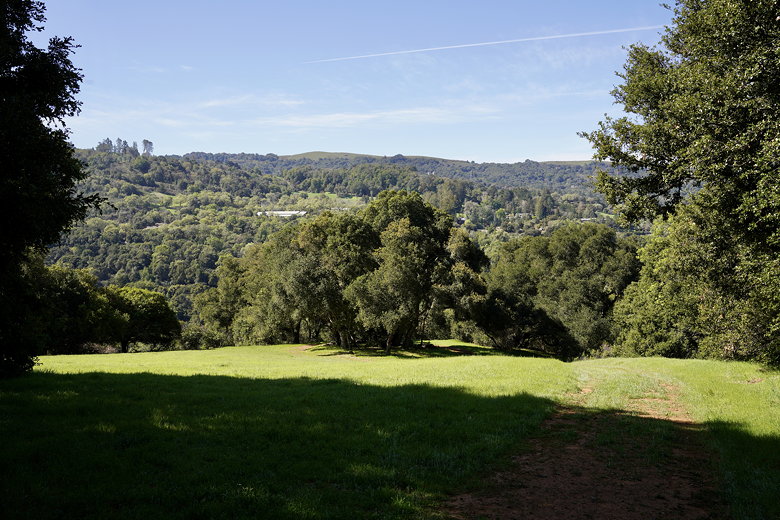
I drove past pretty Boronda Lake, then parked next to the Interpretive Center, which
sits next to a wide expanse of green
grass in Las Trampas Valley. Wild turkeys wandered across the grass as I got ready
for a moderate loop hike. Then I started off across the grass under warm sunny skies.
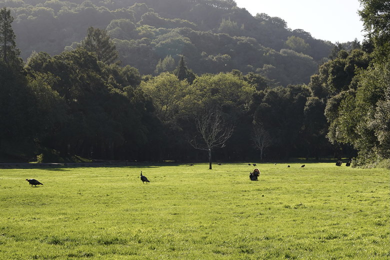
Wild turkeys in Las Trampas Valley
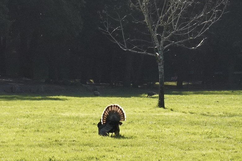
Showing off the feathers
Because of COVID-19, the Los Trancos Trail is signed for 1-way travel, starting at the
Interpretive Center and going in a counter-clockwise loop. After taking some pictures of
the turkeys, I entered the forest at the start of the trail, and immediately started climbing.
I passed 3 hikers who had started just ahead of me. After that, I only saw about a
half dozen other people on the trail.
Boronda Lake
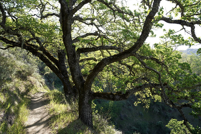
After a steep climb, the trail levels off before reaching an intersection. I turned
right to stay on the Los Trancos Trail. The trail crosses a couple of fire roads
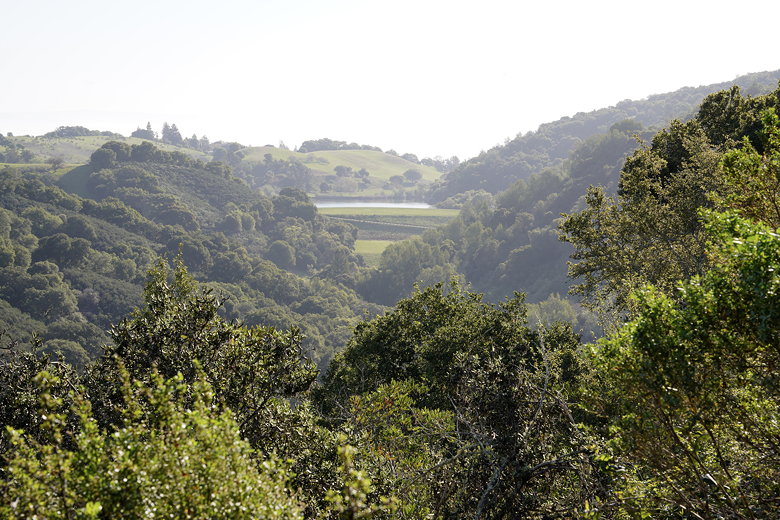
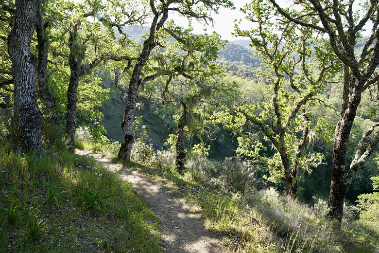
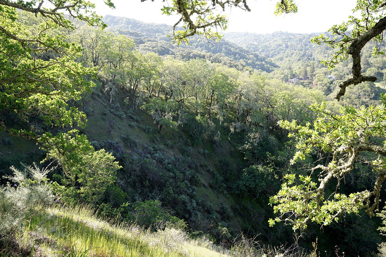
(Valley View and Trappers Fire Roads). The forest starts to open up and provide some views of
multimillion-dollar homes in the hills of Portola Valley.
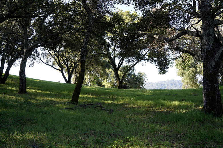
Open forest
Fire road and green hills
About 1.5 miles into the hike was a pretty section of lichen-covered trees, perhaps my favorite
part of the hike. The scene was only slightly marred by the sound of gardeners with leaf
blowers across the valley.
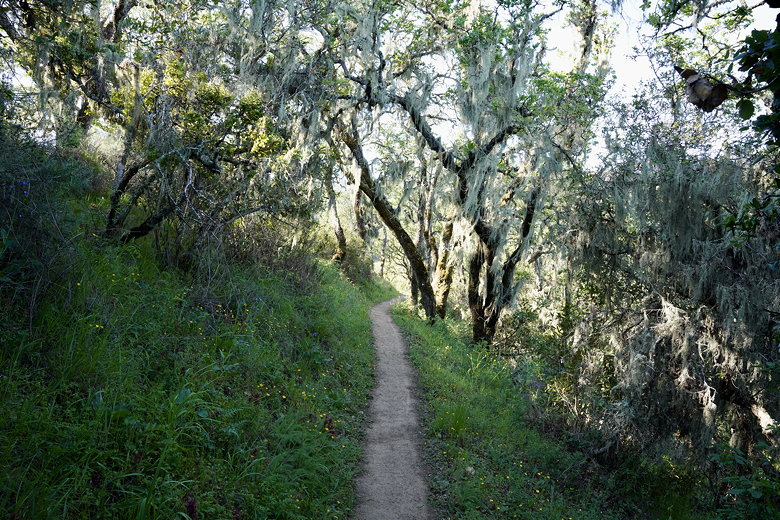
Lichen-covered trees
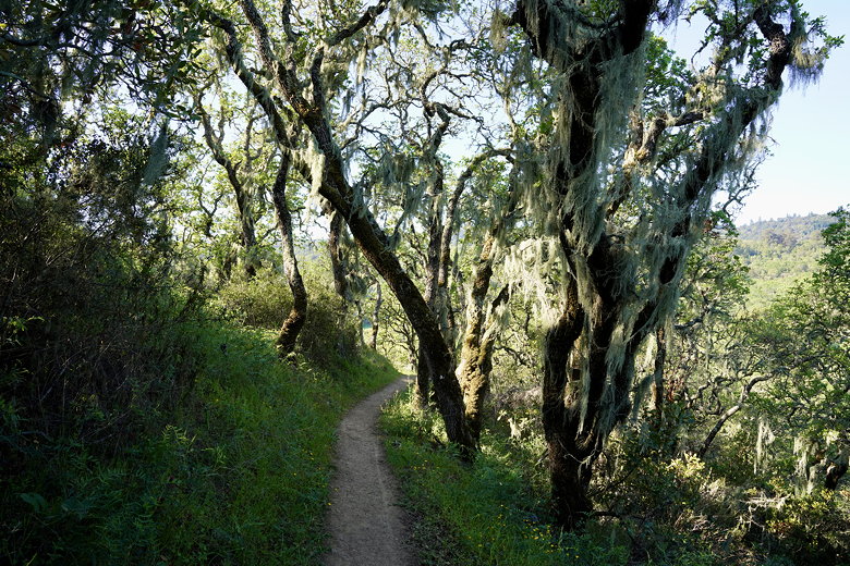
Lichen-covered trees
The trail undulates for a while here. Along this section I ran into another hiker coming
in the opposite direction. I would run into one other such wrong-way hiker later. I don't
quite understand what these people were thinking, since the trails were very clearly
marked 1-way, and I don't think the trail would be any prettier or easier in the opposite
direction. Maybe they just don't like being told what to do? I didn't bother
confronting either of them, as it was easy enough to just move along.
Trail view
Trail view
More pretty trees along the trail
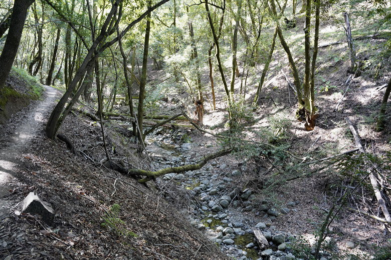
The trail includes several wooden foot bridges, but each one I crossed had no water in sight
until reaching Los Trancos Creek. The trail then follows the creek under dense forest
for a while, climbing upstream. The creek wasn't much, but the pleasant sound of flowing
water could be heard. I'm sure the hike would be better in a non-drought winter or spring.
Los Trancos Creek
Los Trancos Creek
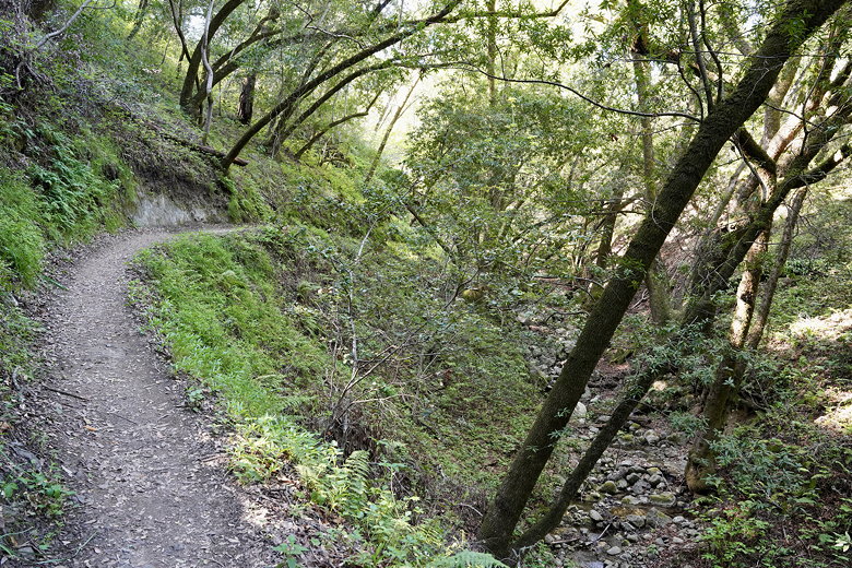
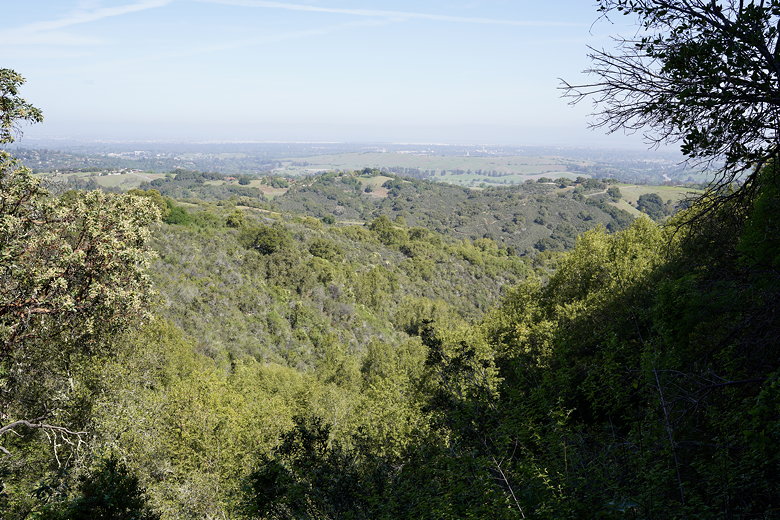
Eventually the trail veers away from the creek and crosses another fire road as it
exits the forest into a grassy field. After crossing 3 more fire roads, there's a bench
with a view of the Bay. There were 3 other hikers here when I arrived, but the view
left a bit to be desired as there was a thick layer of haze, so I didn't stop.
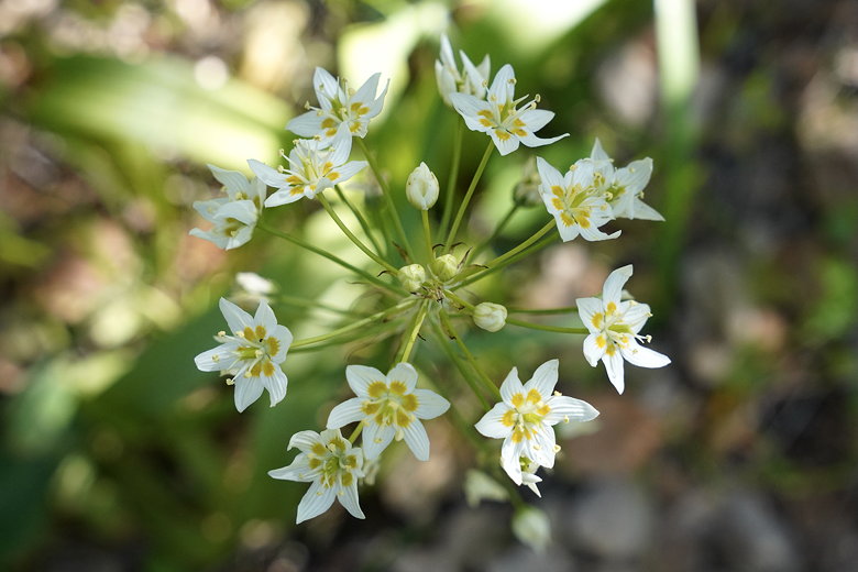
Wildflower
View from the fire road
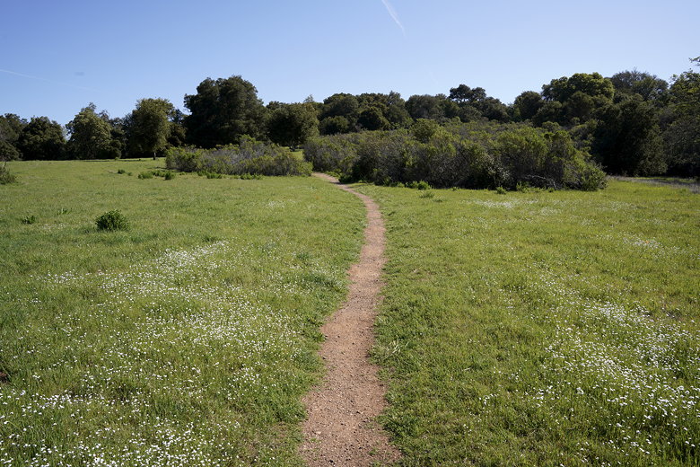
Grassy field
The trail starts to mostly descend now into another forest. At the
Costanoan Trail intersection, I continued straight to stay on the Los Trancos
Trail. Eventually the trail reaches the end, but not at the Interpretive Center.
Instead, the trail ends at the road between the main road and Towle Campground.
I turned left and followed the road a bit before walking through the Orchard Glen
picnic area. Soon enough I reached the Interpretive Center, about a half mile from
the end of the trail.
View of the bay
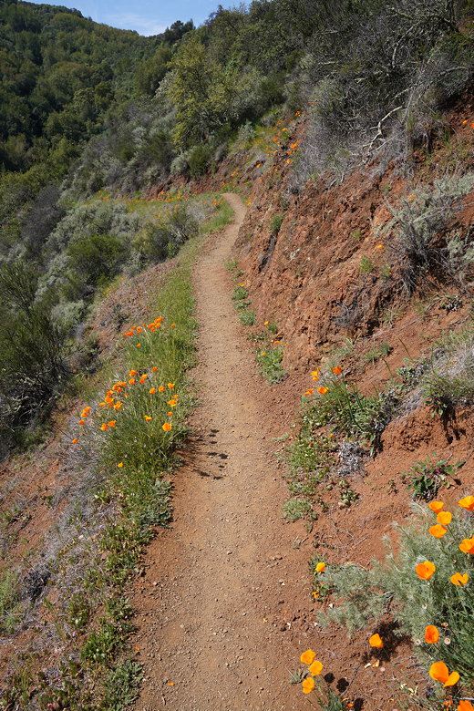
Poppies next to the trail
By now, the park was filled up with hikers and picknickers, though not to capacity.
For those interested, there are other, shorter trails in the northern part of the park
(on the other side of the main park road). You can also utilize the fire roads to make
for a shorter hike if you don't want to do the full Los Trancos Trail loop.
| 

