|
(Note, the GPS track started late; the start and end should be
in the same place.)
I don't recall there being a sign for the turn to the parking area,
so you'll have to pay attention to the mileage markers by the side
of the road. There was no one else in the small lot when we arrived
in the morning.
The first thing you should do when you arrive is look up. You'll
see the remnants of a ladder high above, maybe 50 or so feet above
suspended from one of the redwoods. It's dizzying to look at.
Apparently it was part of a pulley system used to remove gravel
from the nearby river bar.
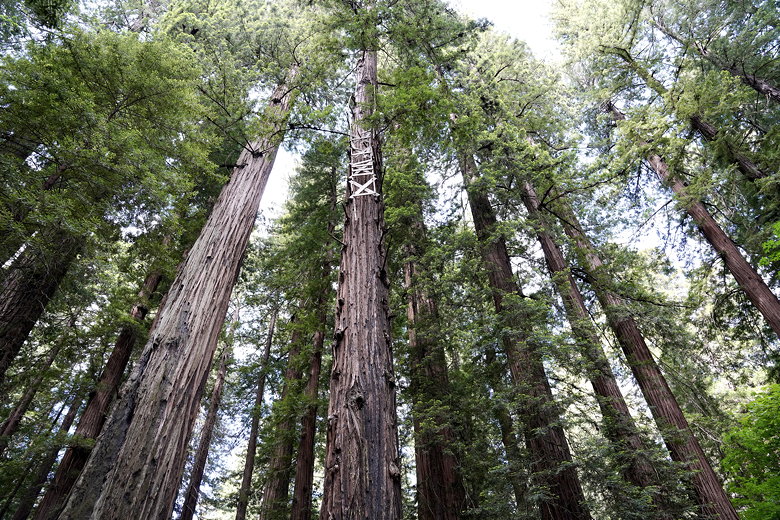
Ladder up in the trees
Note that there's a 4-wheel drive road that continues from the
parking area toward the river. Make sure not to follow that.
Instead, we started off on the trail toward the south. It's
a completely forested walk in the redwoods, with ferns often
on either side. To the left is the river (usually not visible),
and the road to the right (with noise from the occasional car).
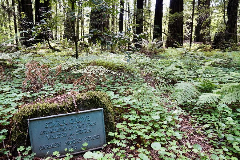
Starr Grove
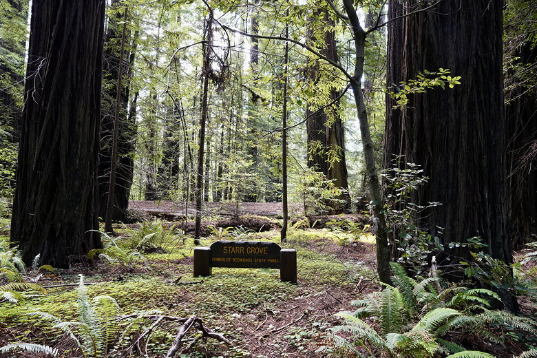
Starr Grove
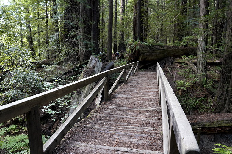
Foot bridge
We passed a few named groves along this easy trail, including
Starr Grove, Wentworth Grove, and Lewis Grove. After about 0.7
miles and a tiny climb, we reached High Rock. There's a small
fence here overlooking the Eel River.
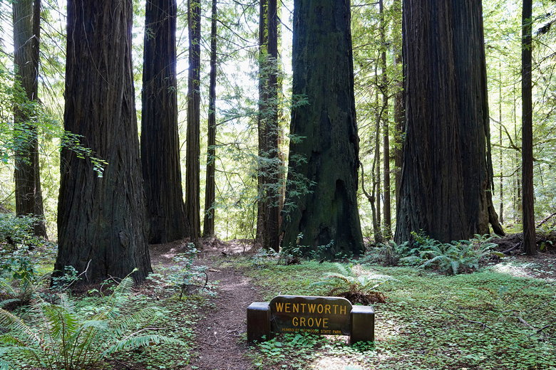
Wentworth Grove
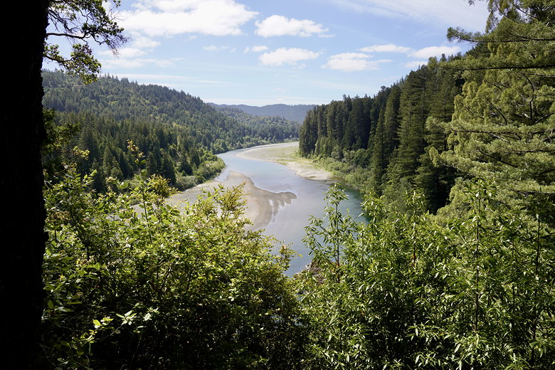
View from High Rock
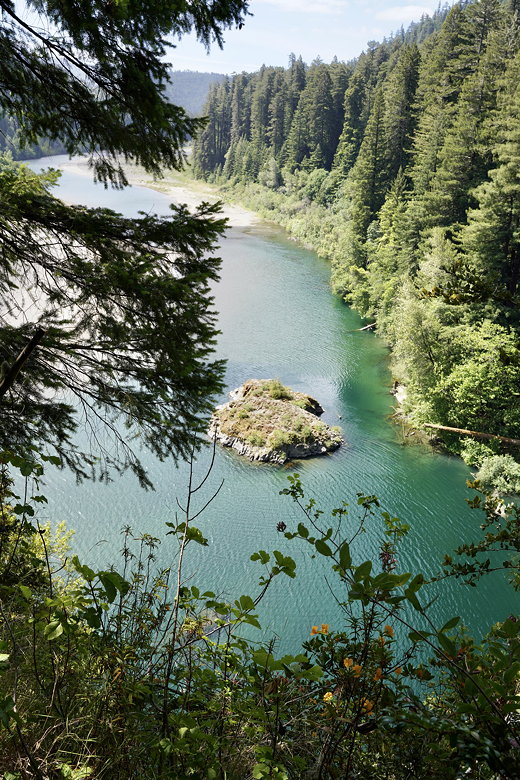
View from High Rock
After enjoying the view, we turned around and returned the same
way.
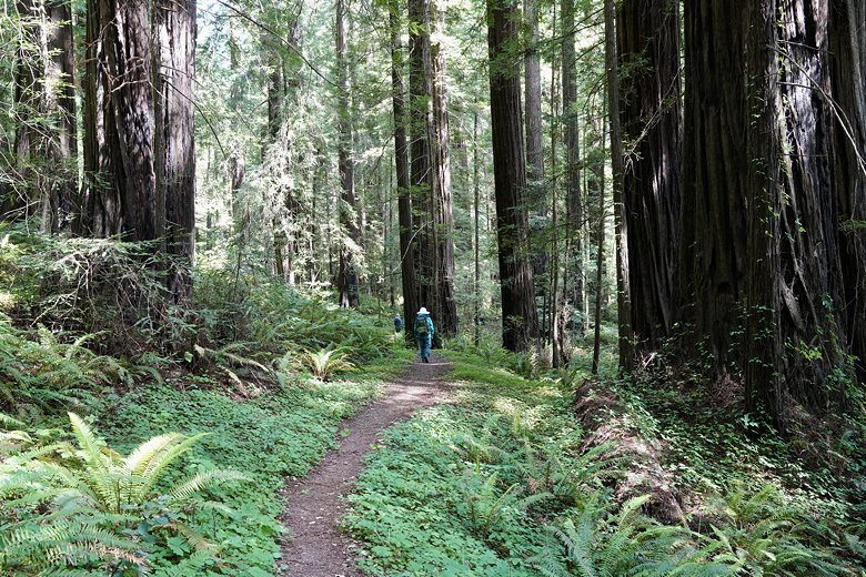
Hiking back
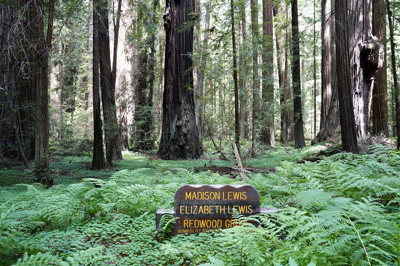
Lewis Grove
| 


