|
I'd hiked the lower part of Wunderlich County Park a couple times,
but never the upper part. I decided I'd fill in that gap today.
Supposedly there is a small parking area near the start of the
trail on Skyline Boulevard. However, when I drove by I didn't
see any cars parked there. And later I noticed a small area
across the street where signs admonish people not to block the
mail boxes. So I guess you could park there (carefully), but
I figure it's best not to annoy the locals. It's easy enough to
park at the El Corte de Madera parking lot down the road, which
is what I did.
The only downside of parking in the big lot is that you have to
walk along Skyline Boulevard for a few minutes before reaching
the trailhead. There's enough shoulder that you can do this
without too much trouble, but if you're with small children it's
probably not recommended.
Near the trailhead I could see bulldozers off to the side.
They are doing some forest thinning in the area, though they
are done for the season. If you are doing this in summer 2022,
make sure to check the park website for updates. I believe they
don't do work on the weekends, but it wouldn't hurt to check.
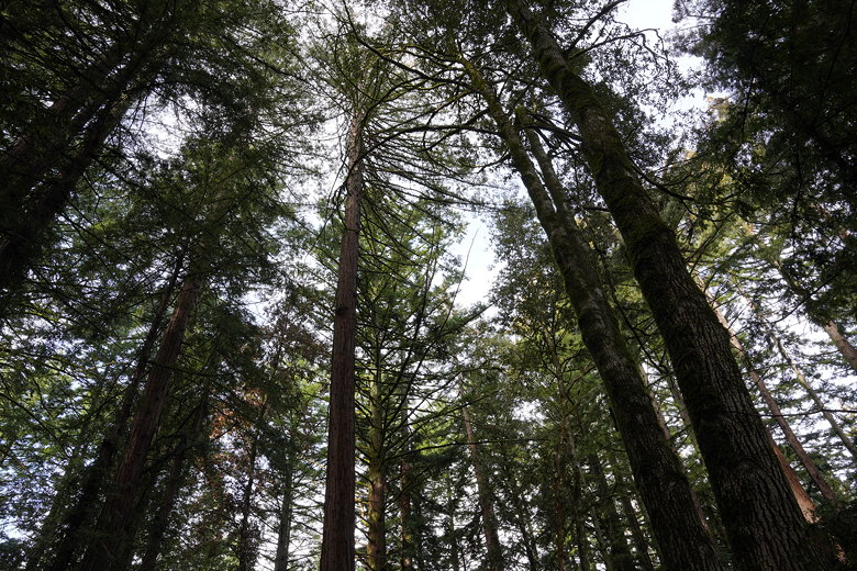
Looking up at the forest near the trailhead
It's a loop hike, so you have a choice at the start. I started
off on the Alambique Trail (trail signs look like they've been
updated recently). It soon passes power transmission lines
which you can hear buzzing above. After that, it enters a
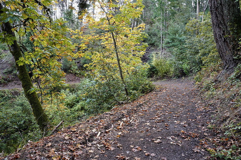
nice peaceful forest. The trail descends gradually, curving
back and forth as it heads downhill through the forest. There
isn't much in the way of views for a while. I could see a hint
of fall color, and a lone banana slug on the trail.
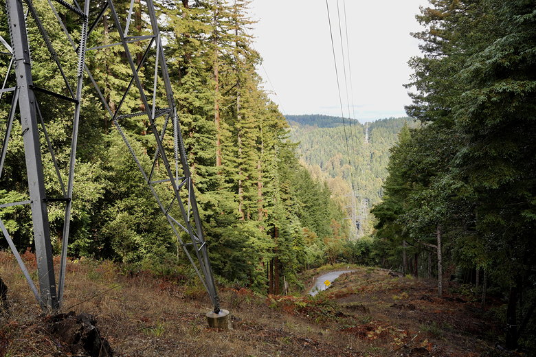
Transmission lines
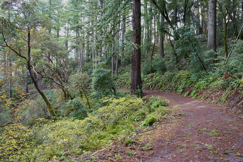
Trail
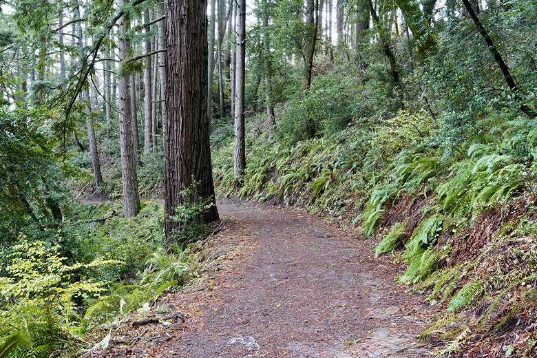
Trail past the ferns
A touch of color

Water droplets on a leaf
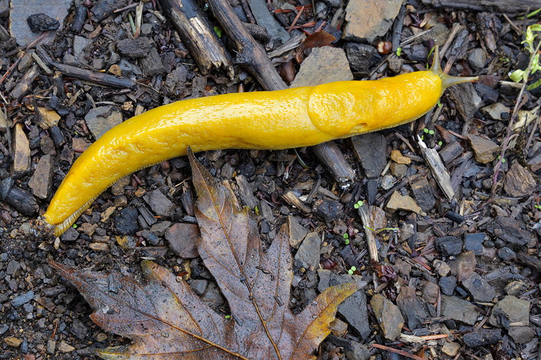
47th picture of a banana slug on the trail
The trail itself is a wide fire road. I didn't encounter many
people on the trail, which is different
from the lower section of the park. Eventually, you will have
some views of the bay peeking through the trees on your left.
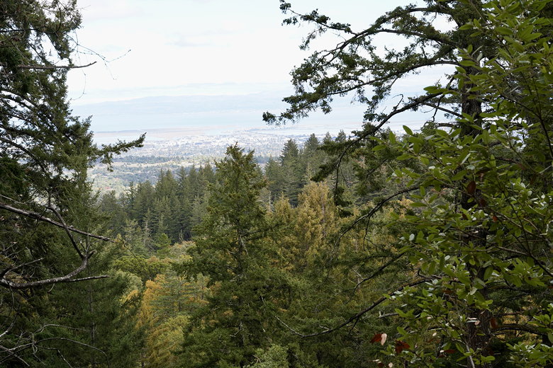
View of the bay through the trees
About 1.5 miles into the hike, there's a sign for a service road
to the left, which I ignored. Soon after that was another trail
intersection. A couple of hikers coming up asked if there was
a meadow where I came from, but I assured them there wasn't.
Both of those trails lead down to the lower part of the park,
so I just stayed on the Alambique Trail.
Soon I reached the Crossroads, where several trails meet and there are
a few benches to rest if you need to. I took a sharp right here
to head on the Skyline Trail back up to Skyline Boulevard. Make
sure you don't take the other Skyline Trail which leads to the
edge of the park (and toward Highway 84).
The trail now starts to gradually climb back up. Soon you'll see
another set of power transmission lines, with a view of the Stanford
campus below (Hoover Tower is unmistakeable).
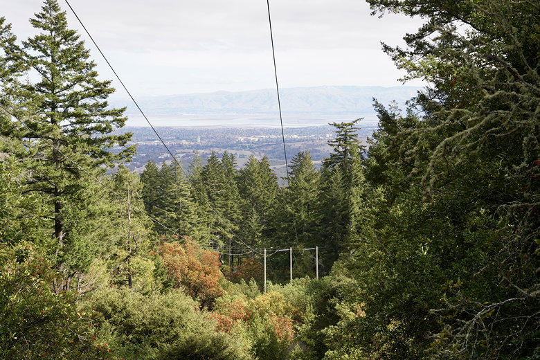
Transmission line view of the Bay
I would say the Skyline Trail is less interesting than the Alambique
Trail. My evidence is that I didn't feel the urge to take any
pictures after the transmission line view.
The other issue with the Skyline Trail is that you can easily hear road
noise from Skyline Boulevard. In any case, soon enough I reached the
road again, then made my way back to the El Corte de Madera parking lot.
It's not an exciting hike, but it was nice to get out for a pleasant
hike in the cool forest.
| 


