|
It was an unseasonably warm and dry winter day (as had been the case for
several weeks), and we took advantage by hiking in the northern
section of Pleasanton Ridge. There's a larger parking area
to the south, where I had hiked 5 years ago. This newer Castleridge
Trailhead opened up in 2018, and provides easier access to the northern
portion of the park.
The street parking was full, but there was plenty of parking in the lot.
We walked through some of the adjacent Alviso Adobe Community Park, which
is an interpretive park with an adobe structure that dates back to 1854.
There's a restroom at the trailhead. After walking up the trail for a minute
we reached a map display with dozens of paper maps available (they were all
gone by the time we returned on our way back).
The first part of the trail is a steady uphill climb for nearly 2 miles along
the Courdet Trail. The trail is a wide dirt fire road with some shade. As
we climbed we obtained views of Mount Diablo, but a haze marred the view.
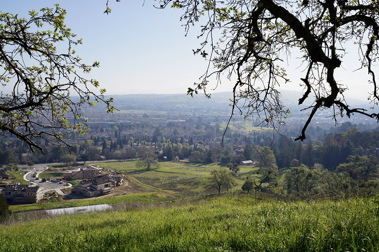
Looking back toward the parking area (to the left)
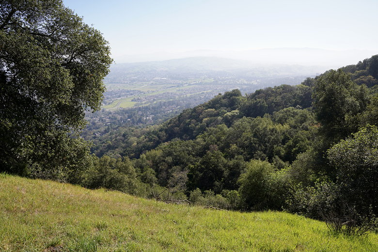
Hazy view
At the top, we crossed over Ridgeline Trail and briefly climbed to the highest
spot (just off the main trail), where a few others were enjoying the views. You can see the Diablo Range
to the east, and rolling green hills and the Sunol Ridge to the west. The only
blemishes to the view are a series of antenna towers, and the fact that you can
view someone's private residence near the top.
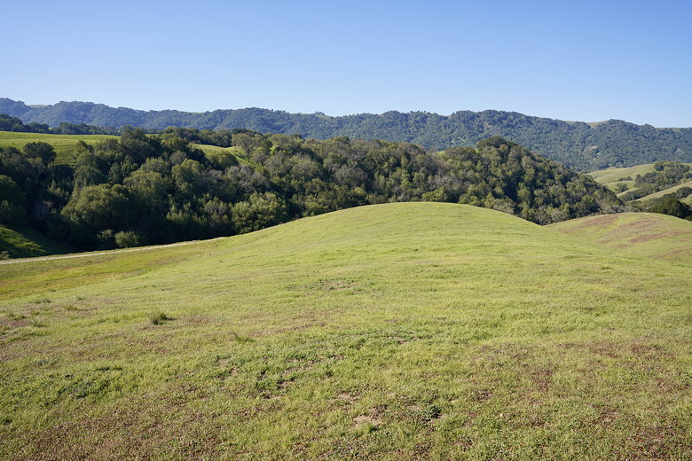
Rolling hills to the west from the top
After enjoying the views, we headed back south along the Ridgeline Trail. This
is an easy, mostly flat trail along the Main Ridge. We spotted a few raptors along the way, but not
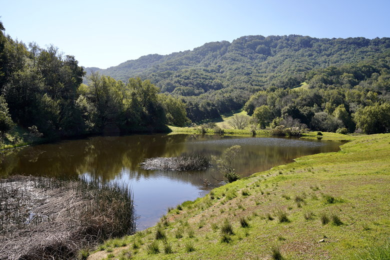
close enough to get any good pictures. After about 0.7 miles we reached a pond
at the intersection with the Sinbad Creek Trail, where we turned right.
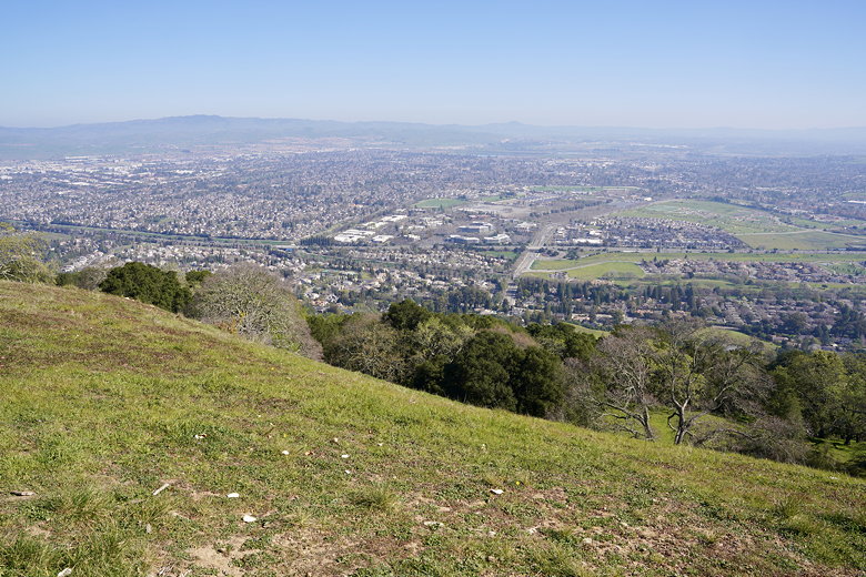
Another view from Main Ridge
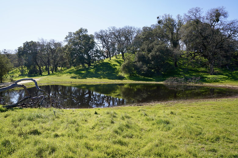
Pond at the intersection of Ridgeline and Sindbad Creek Trails
The Sinbad Creek Trail descends, very steeply at times, for about 0.85 miles
until a T-intersection at the bottom. We turned right to stay on the Sinbad
Creek Trail, which is now mostly level. It follows the creek through Kilkare Canyon,
though you can't see the creek itself most of the time.
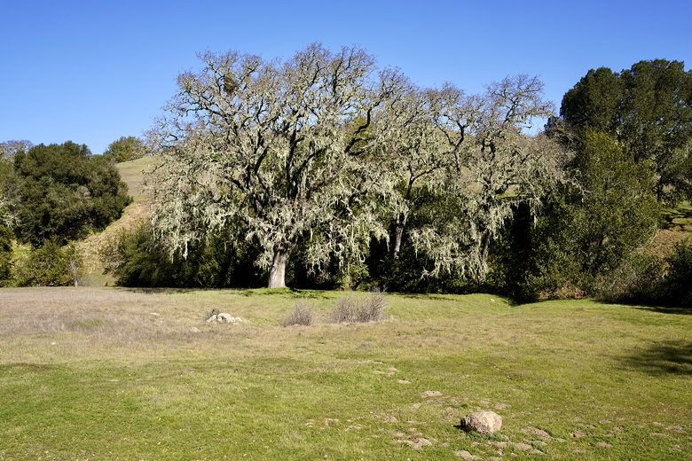
Tree along the Sinbad Creek Trail
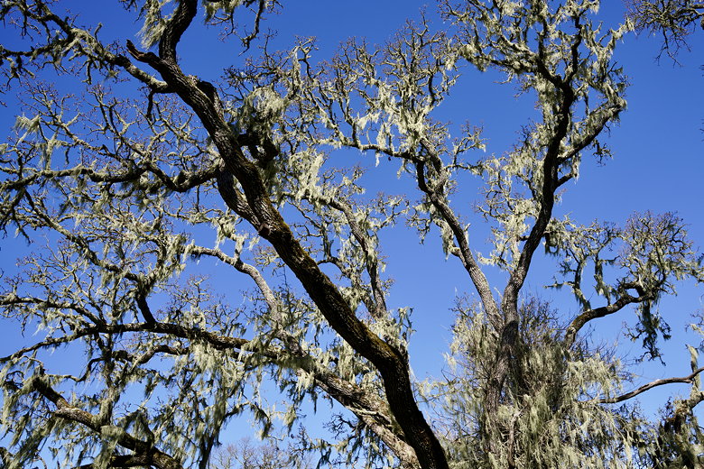
Lichen-covered tree
We could have cut the hike a bit shorter by turning right onto the Shady Creek Trail,
but we decided to keep going a little further. We turned right onto the
Turtle Pond/Loop Trail, then shortly reached the pond. We didn't see any turtles, but
did see some ducks on the pond surface.
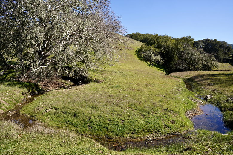
Sinbad Creek
Turtle Pond
The climb up the Loop Trail is not too steep; definitely nowhere near as steep as the
descent on the Sinbad Creek Trail. At the top, we stopped for a brief snack before
turning right onto the Ridgeline Trail. We were careful to stay on the main trail,
avoiding the many unsigned use trails. We saw some poppies on the hillsides, but in
general didn't see any great wildflower displays. Soon enough we climbed back up to where
we'd started the loop section of the hike earlier (near the top of the 2 mile climb
at the start of the hike). We turned left onto the main trail and then quickly
turned right to start our descent of the Courdet Trail.
It's a steep descent back to the parking area, and it seemed longer than I thought it
would be. At first I thought I saw the restrooms at the start of the trail, but
instead they were some other private buildings further up. Eventually we made it back
to the trailhead and the end of the hike. I would probably avoid this hike from late
Spring to early Fall, as a lot of it is unshaded and it gets hot in the summer and the
grasses turn brown. But at other times of the year it's a nice hike.
| 

