|
We broke camp around 9:15am, then made our way back to the main trail.
The first part of the trail was relatively flat, but soon started
climbing again. After about a mile, we reached a trail intersection,
with the right fork headed to Relief Valley. We resumed climbing on
the left fork.

View from the trail
As we climbed, we could see Relief Reservoir behind and below us.
We met two other backpackers who happened to be going to Ridge Lake
(the lake next to Iceland Lake). We never did see them again,
though we did probably see their tent at Ridge Lake when we passed
it later today.

Looking back at Relief Reservoir

View to the west
After the intersection, it's about 1.8 miles to the unmarked stream crossing. Well, you can cross it whenever you want (since there isn't any trail), but I was thinking it would be easier if we only
crossed it once, near where the creek merges from two forks. If the water was too deep, we could just
walk upstream a bit to find a shallower crossing but be forced to cross both forks. In the end, it
didn't matter. We at first couldn't find a good place to get down to the creek to cross it, but
eventually found a good crossing that others had obviously used. There were use trails down to a sandy
area, and the creek was easy to cross. The water didn't even reach halfway to knee level. It was
about noon when we crossed, and I'm sure it would get higher in the afternoon due to snow melt, but
I don't think later would have been a problem.

Summit Creek crossing
After putting on our water shoes and crossing the creek, we put our boots back on and navigated a
maze of downed and upgright trees, trying to find a path through. We emerged from the forest onto
some steep granite, then tried to navigate in a mostly southwest direction to head to the saddle
before Iceland Lake. This shorter, more direct route we ended up taking was probably steeper and
more difficult than it needed to be. It would have been easier to head more southerly to get easier
(less steep) terrain.
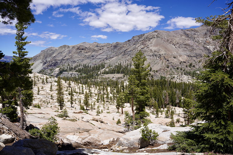
Looking back down the granite slopes
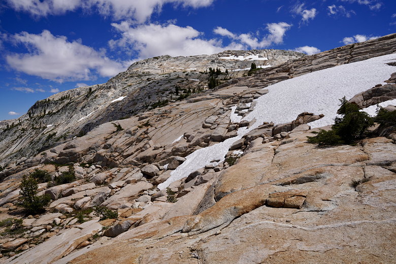
Continuing up the steep granite
In any case, we made steady if slow progress. We finally reached the saddle we were aiming for,
only to realize that the lake was still aways away, after yet another saddle. We mostly traversed
the terrain to the left, trying to keep a mostly constant elevation. We crossed this second saddle
and came close to Ridge Lake before veering right toward Iceland Lake.

Looking east from near the saddle
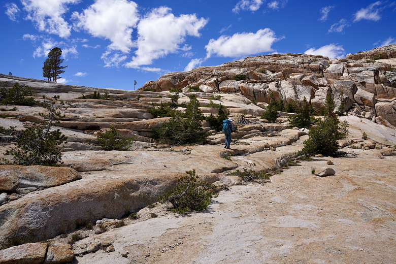
Approaching the saddle
At what we thought was Iceland Lake, we put down our packs and started looking for a campsite. Soon
enough we realized we were wrong, as a couple minutes away we could see the actual Iceland Lake,
much bigger to the right. We found a nice campsite above the western shore. There was only one problem: it was windy. We tried to find another site in the trees that would be more protected, but couldn't
find anything good. We set up camp and hoped the wind would die down. It wouldn't.
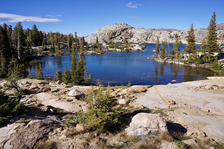
Iceland Lake
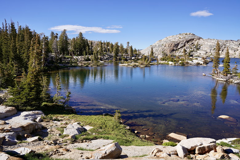
Iceland Lake

Iceland Lake (looking roughly northwest)
While we were setting up camp, another hiker came by with his dog. He kept to himself; looked
like he was going fishing. Don't think he caught anything, and he left after about 60-90 minutes.
He wasn't carrying much, so I think he was camping nearby, perhaps at Ridge Lake.

Southern end of Iceland Lake

Waters of Iceland Lake
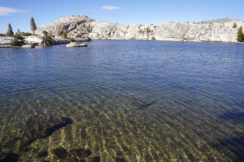
Looking northeast at Iceland Lake

Clear waters of Iceland Lake
After dinner I took some pictures of the nearby lake, then tried to go to sleep. The wind wouldn't
let us. As we lay awake in our tents, we could hear the sound of the wind winding up on
Granite Dome to south, then gathering steam before out tent walls would shake violently.
It felt/sounded like a freight train coming through, and it happened every two or three minutes. Needless to say, this made it difficult
to sleep.
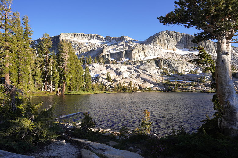
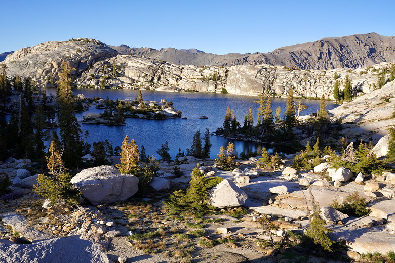
Granite Dome above unnamed lake
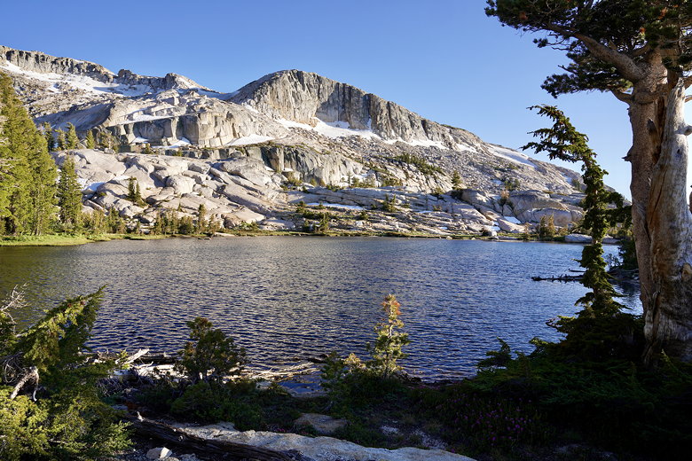
Granite Dome above unnamed lake
Iceland Lake

Granite Dome sunset
| 


