|
There's a large dirt parking lot at the trailhead (which is reached after a short gravel section of road, less than a mile. There are vault toilets here and not much else. Some picnic tables with no shade. Parking is $3 per person (payable via an iron ranger). Expect a lot of company, as this is a very popular place.
Jean and I had done this hike back in 2004, carrying Nathan since he couldn't walk yet. But of course it'd been so long that we didn't remember much.
We walked along the paved path past several interpretive signs. The signs tell you how high the water was at various years. It's shocking to see the first one, which shows you the water was 45 vertical feet higher around 1950. Hopefully Mono Lake can start rising again, though it is doubtful considering the drought we are in. Compared to the last time we did this hike, the lake is only about 1 foot lower, though it has been trending down the last 2-3 years. In any case, we explored the tufa near the lake's shore for a long time.
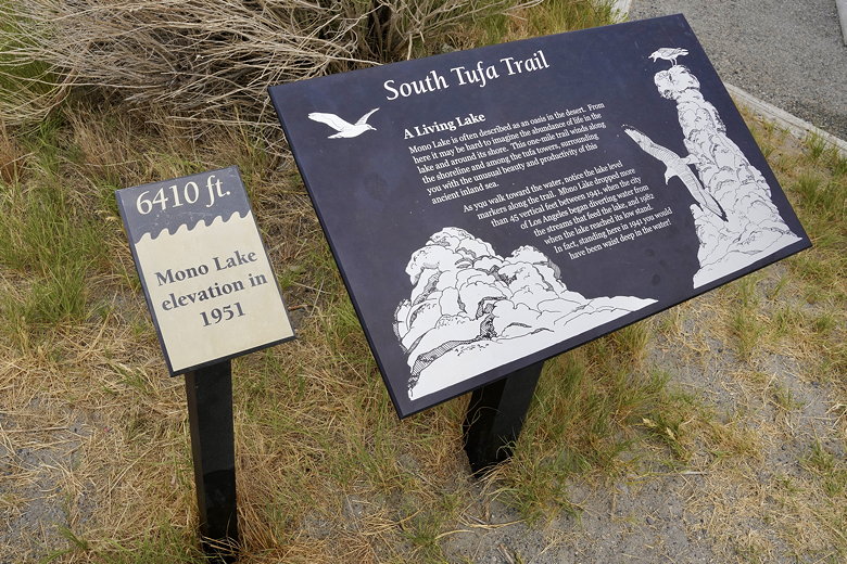
Sign near the start of the hike
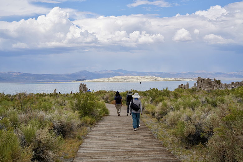
Walking out toward the tufa formations
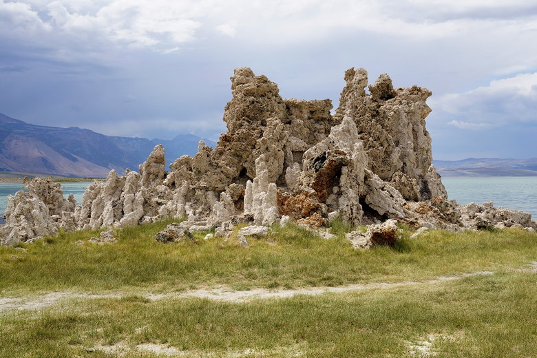
Tufa formations
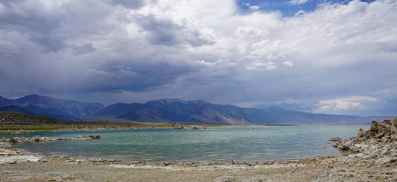
Mono Lake
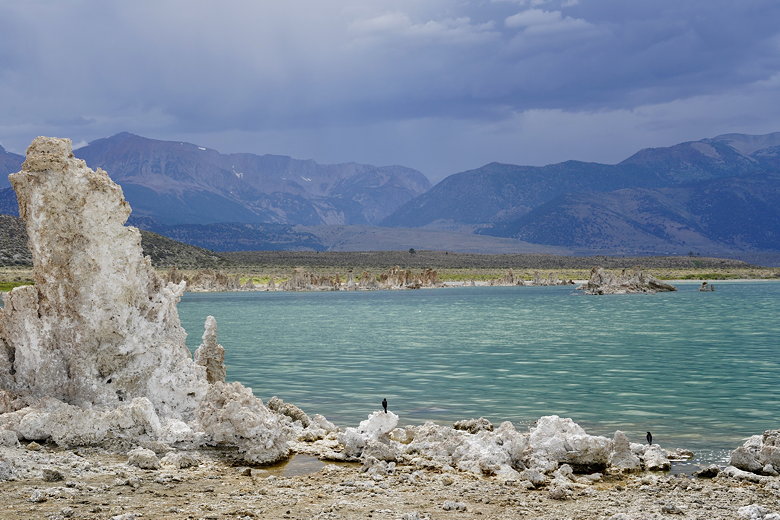
Birds on tufa at Mono Lake
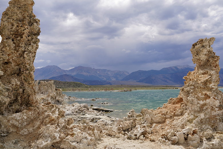
Tufa and Mono Lake
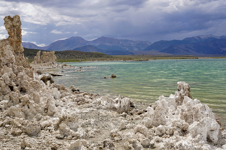
Tufa and Mono Lake
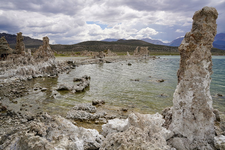
Tufa-lined shore
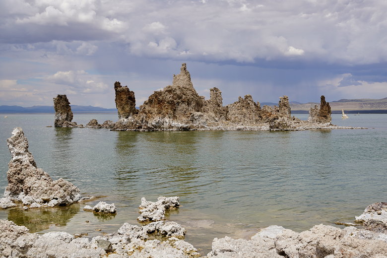
Tufa island
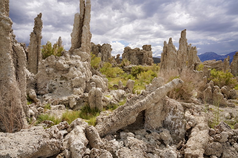
Inland tufa
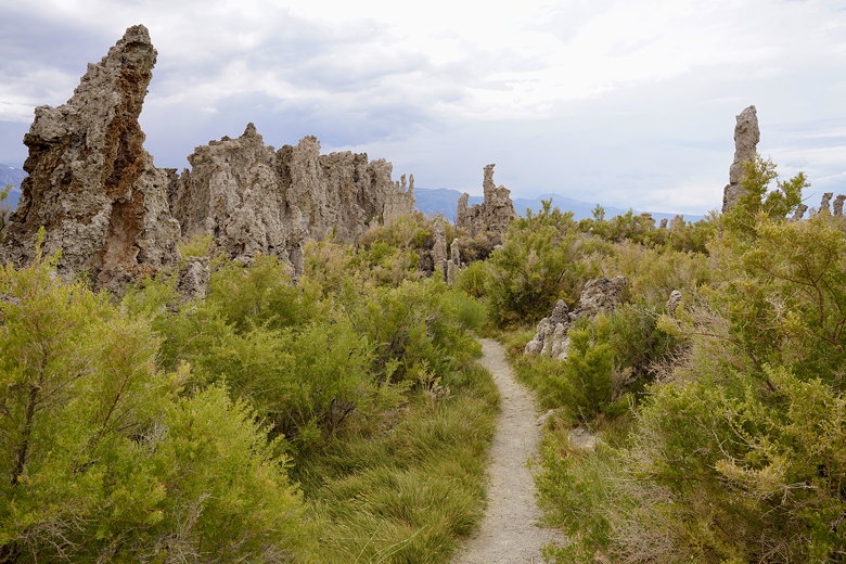
Trail through the tufa
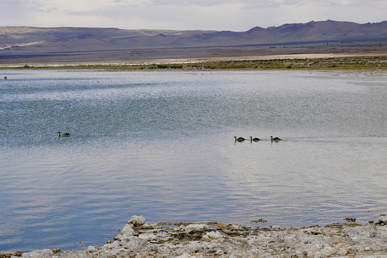
Ducks in a row
Afterwards, we took the loop trail back to the trailhead. It's a short hike, only about a mile. If we were staying closer perhaps I'd come back at sunrise or sunset, as the tufa are a common photographic subject at those times.
| 


