|
We got a late start, deciding to go for a moderate hike nearby. The road to the trailhead is mostly paved, but the part near the beginning is very rough, with some huge potholes. It’s a 1-lane road, so drive slow in case there’s oncoming traffic. We happened to see one other car coming the opposite way during this rough section, and we slid over to the right to let it pass. Thankfully, the rough section is not too long, and it’s pretty smooth after that for the most part.
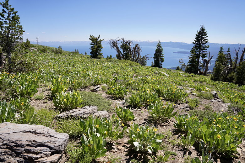
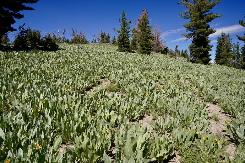
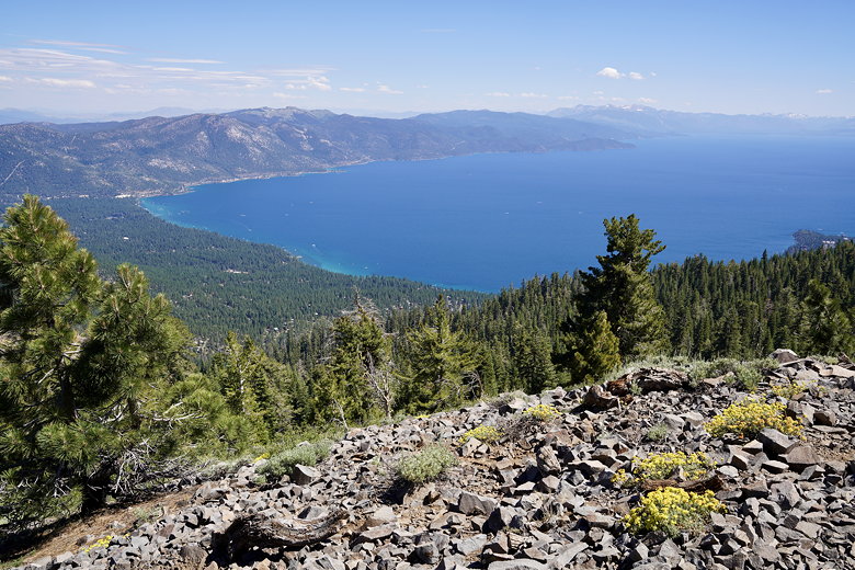
There were only about 5 cars near the trailhead. We parked in a clear space just before the trailhead. Before we even started the trail we saw tons of mule ears. We’d see lots more before it was over. We also saw a bit of Lake Tahoe below in the distance. But the views would get better.
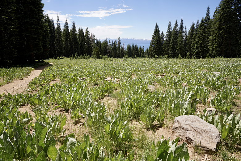
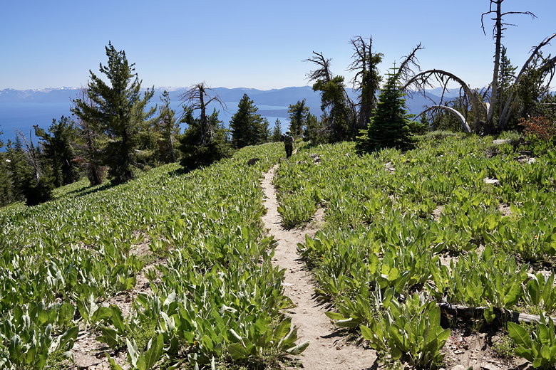
Meadow at the start of the trail
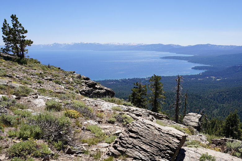
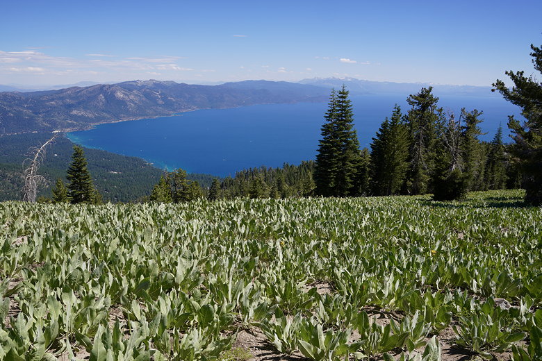
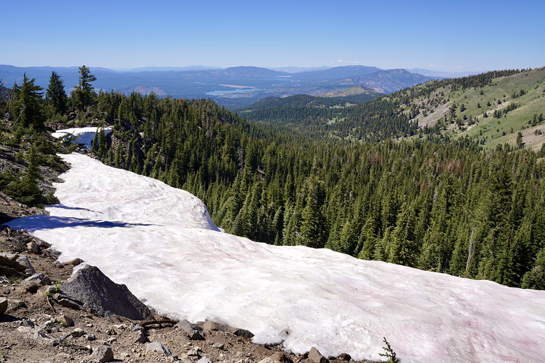
The trail goes briefly downhill before flattening out and then starting to climb. The climb is never very steep. As we climbed, the views kept getting better. We saw a snow plant (though no snow yet), lots of mule ears, and lots of wildflowers (mostly yellows and blues). As we approached 9000 feet in elevation we crossed a snow patch, though we just as easily could have gone around it. Shortly after that, we decided to stop at an overlook of Lake Tahoe. This wasn’t the top, but the views were hard to beat. The only issue was that it was rather windy here.
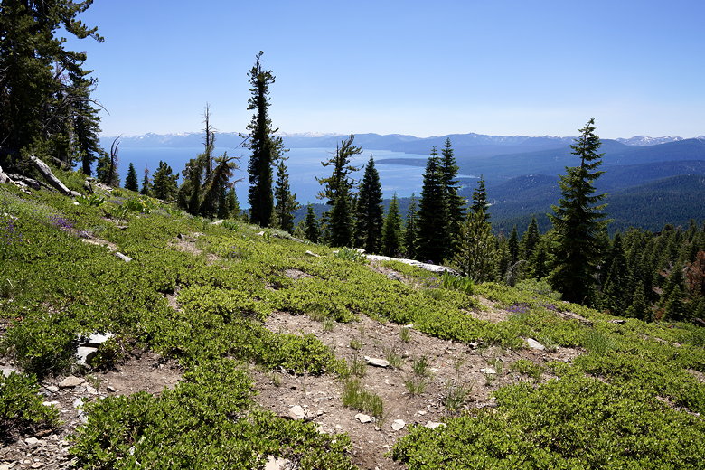
View of Lake Tahoe
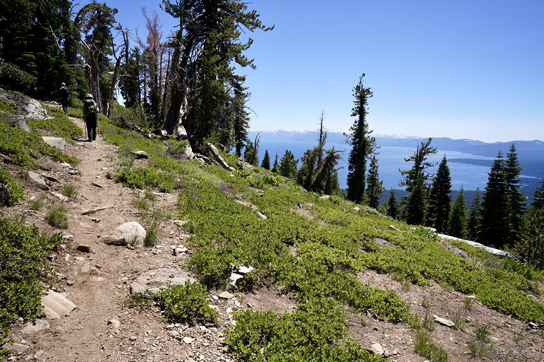
View of Lake Tahoe from the trail
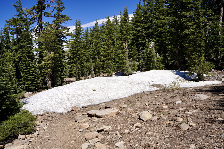
Snow patch on the trail
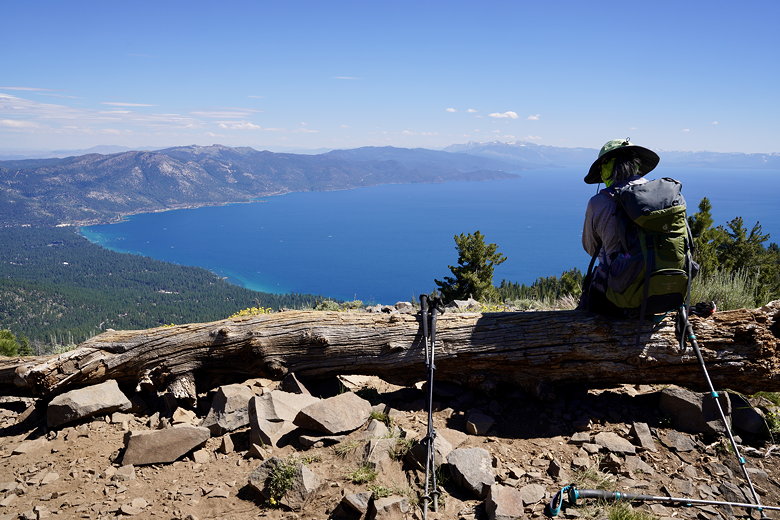
Lake Tahoe from our lunch spot
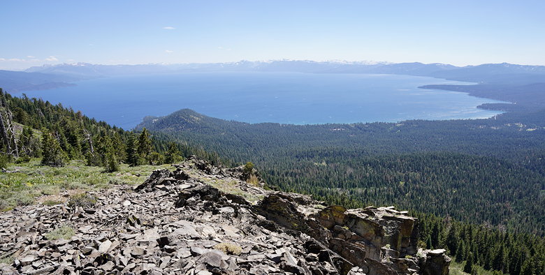
Lake Tahoe from our lunch spot
After stopping for lunch, we continued up the trail, which soon passed through lots more mule ears. Then we took a spur trail up to the top of Baldy Peak. There’s a bench here where you can enjoy a magnificent view of Lake Tahoe. After doing so, we turned around and headed back the way we came.
More mule ears
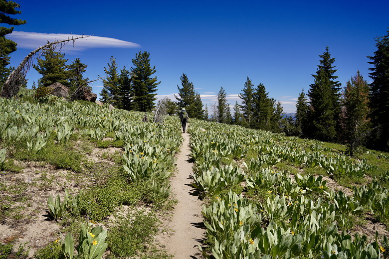
Trail through the mule ears
Mule ears up to the peak
Mule ears over Lake Tahoe from Mount Baldy
Log at the top of Mount Baldy
View of Lake Tahoe from Mount Baldy
I would say probably more than half the people we saw on the trail were backpackers, probably hiking the Tahoe Rim Trail. We saw a day hiker with a couple dogs, and 2 or 3 mountain bikers. But mostly backpackers.
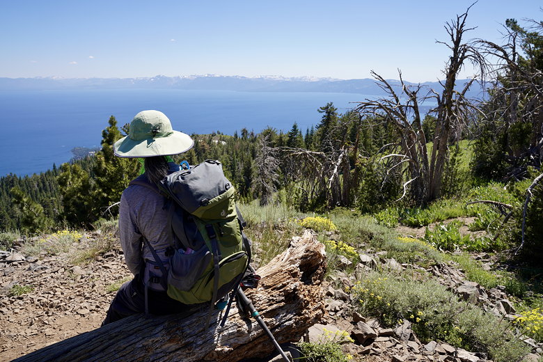
Lake Tahoe from near the top
Mule ears on the descent
By the time we got back to the trailhead, there was only one other car parked there. We drove back down the road, including the bumpy section at the bottom, before returning to our rental house.
| 

