|
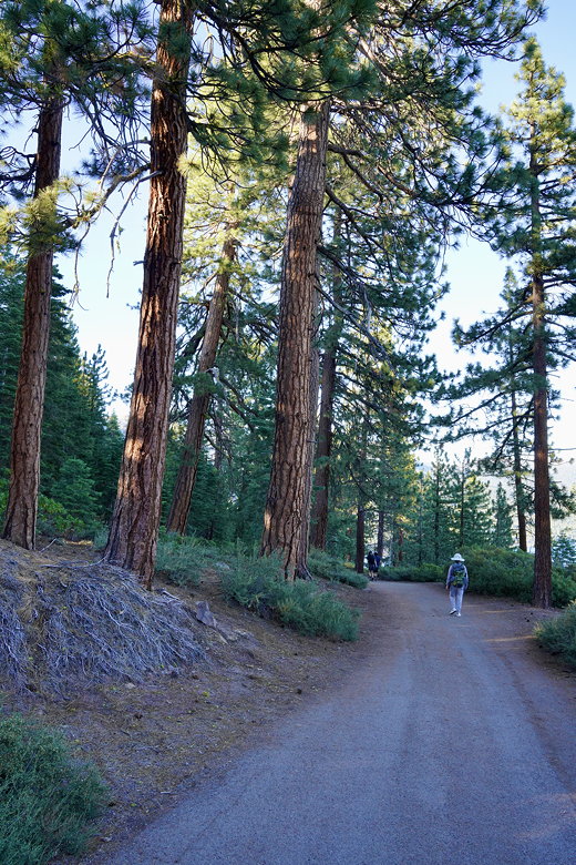
I was slightly surprised that there was almost nobody at the trailhead. We walked up the trail, which is mostly paved pretty much the whole way. It starts climbing almost immediately. It wasn’t steep, but since we had just driven up from sea level, we took it slow. As we climbed, we had better and better views of Lake Tahoe through the trees. The trail flattens out near the top, and we took the side trail to the left (this would create the lollipop portion of the loop).
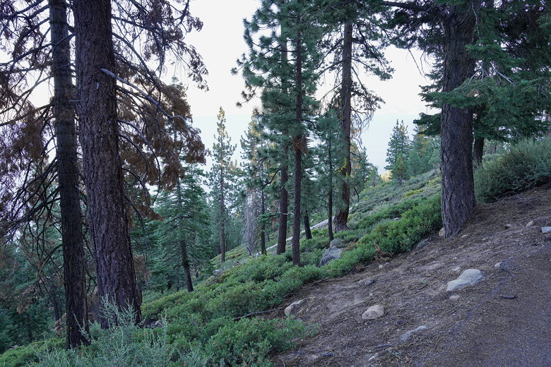
Trees next to the trail
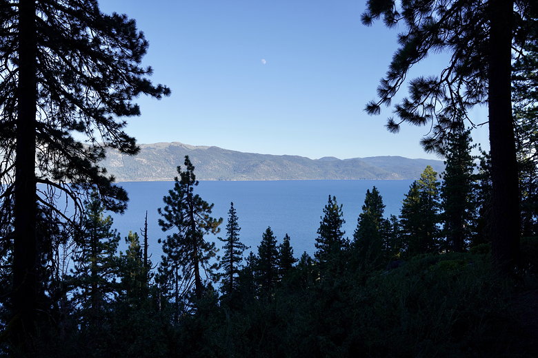
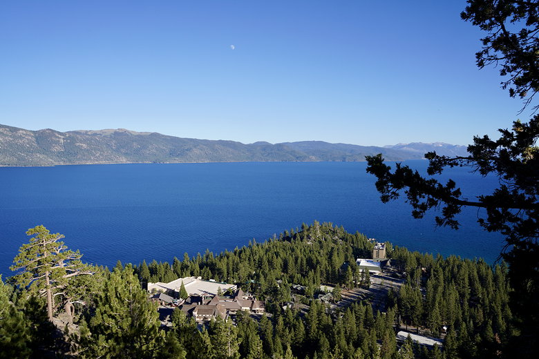
Moon over Lake Tahoe
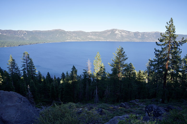
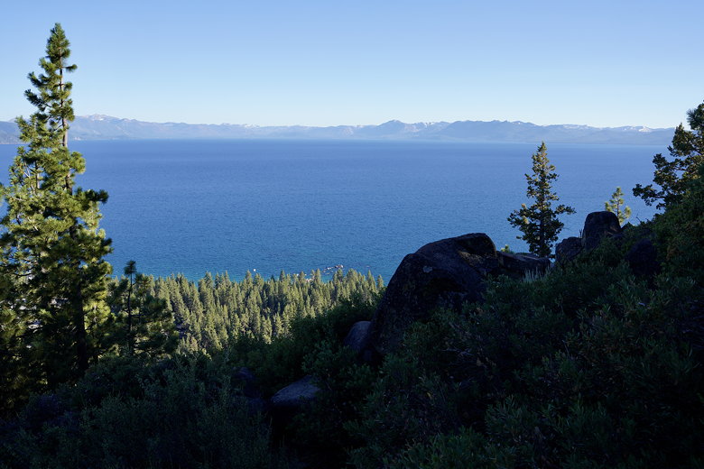
Lake Tahoe
This narrow trail is still paved and provides better views of the lake than the wider main trail. There are interpretive signs in various stages of decay along the way. The trail loops around, providing views toward the Nevada side before going around to view Kings Beach on the California side. At this time of day, though (around 6pm), the sun was blazing off the lake near Kings Beach, making it impossible to look at or take pictures of. The time of day really affects your views on this trail. I’d definitely recommend morning or evening.
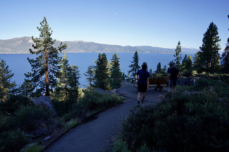
Loop part of the trail
Lake Tahoe
Stateline Point
We looped back onto the main trail, then took it back the way we came back to the start. We only saw about a half dozen people and 2 dogs on the trail.
Forest on the way back
|


