|
We got a slightly earlier start, but still late, today. It was a bit warmer, but still not bad. We started at the Mount Rose summit parking lot. It’s a huge lot. It was mostly full, but we found a spot even this late in the day (past 11am). The restrooms at the trailhead were closed for some reason.
It’s a loop hike so it can be done in either direction. We decided to do it counter-clockwise. After a short flat spur section to the trailhead proper, we turned right and climbed the steps to start the loop.
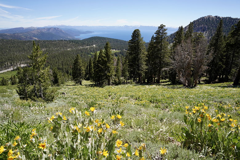
This is a very popular trail, so be prepared for company. But also, be prepared for views, which start almost immediately. The first views are of Lake Tahoe and the Mount Rose Highway to the left. The views are pretty constant for the first perhaps 15-30 minutes. After that the trail veers right and into the forest.
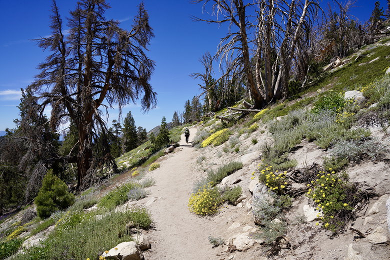
Heading up the start of the trail
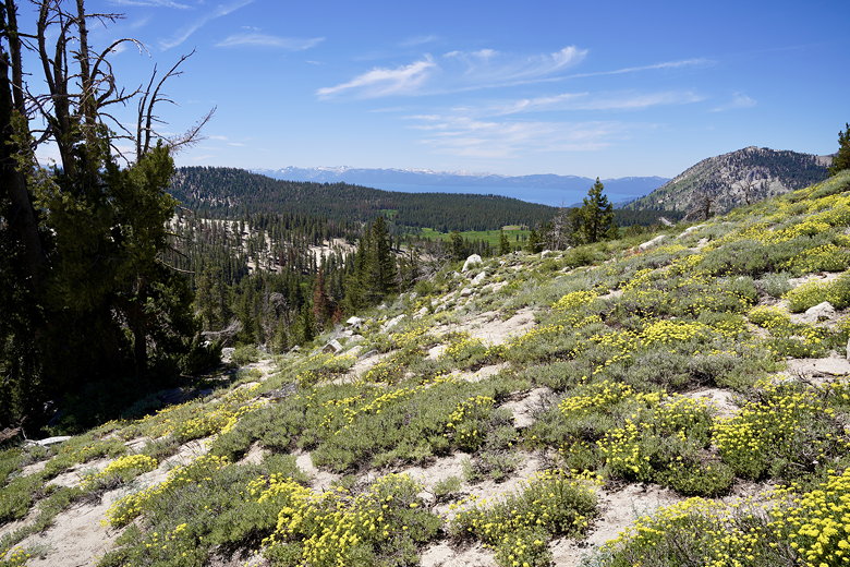
View of Lake Tahoe from the trail
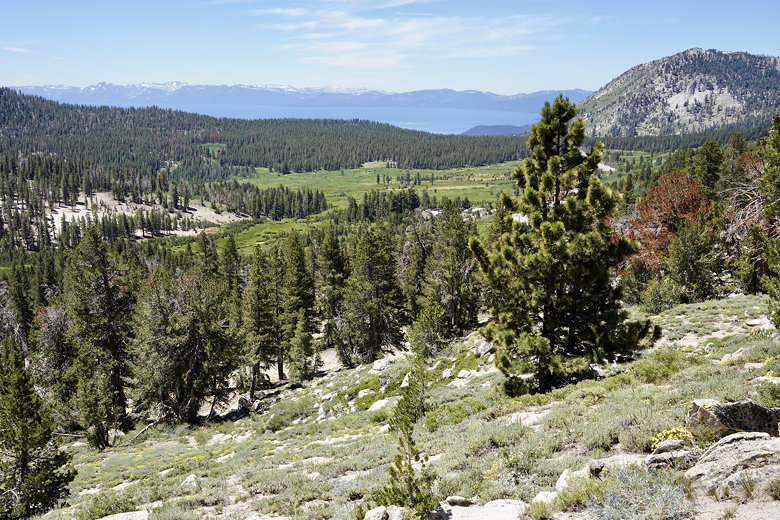
Better view of Lake Tahoe from the trail
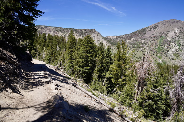
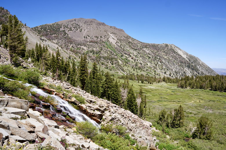
For a while the trail is in the forest, without much of note. We crossed a small patch of snow. Eventually, however, you get nice views of Mount Rose. Jean and I had hiked to the top of Mount Rose (with Jennie) over 20 years ago, though we hadn’t taken this trail. Today we wanted something easier, though.
Since we were on the Tahoe Rim trail, we saw a few backpackers, and in fact saw a couple backpackers we’d seen yesterday on our day hike to Mt. Baldy. We reached Galena Creek Falls near a snowbank, then climbed some switchbacks next to the falls. The switchbacks provide some nice views of the falls with Mount Rose behind it.
Trail and a peak of Mount Rose

Mount Rose
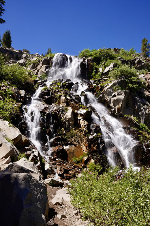
Galena Falls
Galena Falls and Mount Rose
Leaving the falls behind, we kept going through the forest. We briefly made a wrong turn; well, we went straight when we should have turned left. But we found a nice shady spot with views of Mount Rose, so we stopped here for lunch anyway. Then we backtracked (only about 5 minutes) back to the intersection and followed the watery trail (snow was melting onto it).
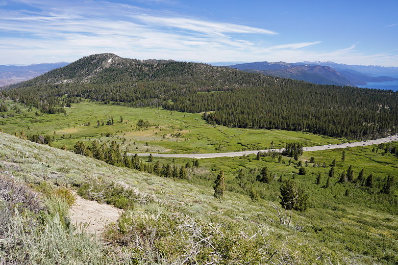
We hit another intersection and turned left onto a wide dirt road. This is the trail that we had taken to Mount Rose so many years ago. We passed by a small pond (where I had hoped to stop for lunch, but in hindsight there probably would have been too many mosquitoes anyway).
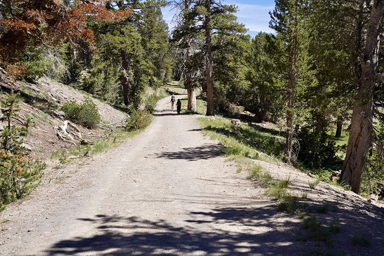
Heading back on the wide dirt road
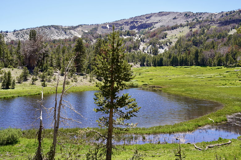
Pond next to the trail
From here, it’s a mostly unshaded walk on the wide dirt road in the afternoon sun. However, there are some nice views of Lake Tahoe and the Mount Rose Highway. At the next intersection, we turned left onto a narrower, shaded trail and shortly completed the loop.
Lake Tahoe
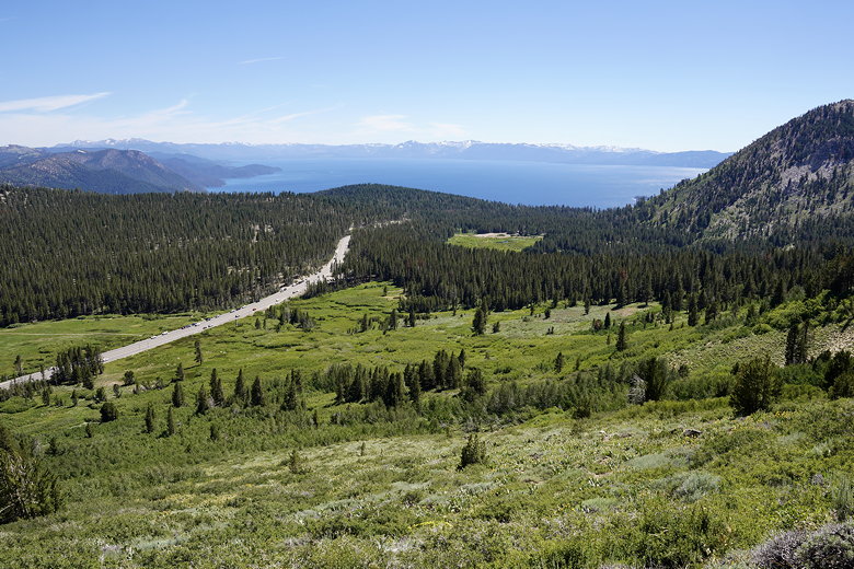
Lake Tahoe and Mount Rose Highway
Mount Rose Highway
| 

