|
This is a trail that had been on my list for a few years, probably since doing
the Borden Hatch Mill Trail back in 2015. That trail took us close to the
Grabtown Gulch trailhead and the other trails to the west. However, I knew that
there was precious little parking at Grabtown Gulch - I'd heard maybe space for
3 cars. So I was hesitant to make an attempt. However, since we were going
on a Tuesday, I figured parking wouldn't be a problem.
In truth, there's probably space for maybe 6 cars by the side of the road -
probably 3 just past the trailhead,
and another 3 just before the trailhead (where we parked). Maybe even more.
It's tight, but not that tight. When we arrived, there was one other car
parked near us; its driver was looking way up in the sky, taking pictures of the
impressive trees right next to the road. There were another 2 cars parked
just past the trailhead, but we never saw anyone on the trail this entire hike.
I'd biked up Tunitas Creek Road several times, so I kind of knew what to expect.
It's one of the prettiest roads I've biked on, and driving it is just as nice
(as long as you're careful of course). While it wasn't supposed to rain today,
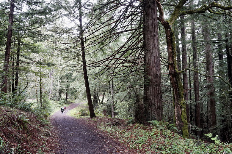
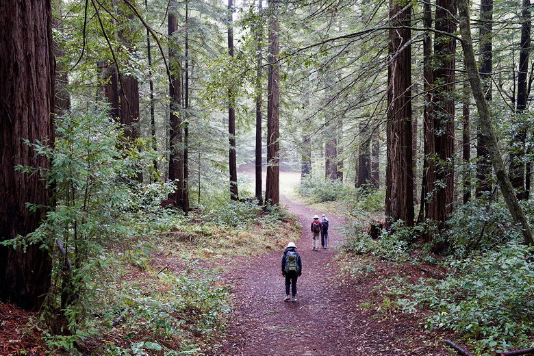
it was foggy when we arrived, and the forest had a magical sort of feel.
Grabtown Gulch Trail
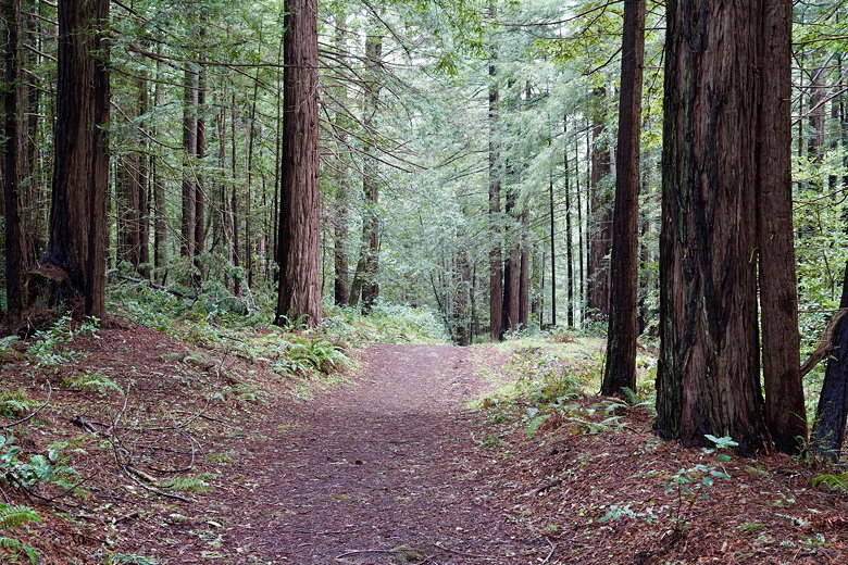
We started off on the wide trail, which was covered with wet leaves and muddy
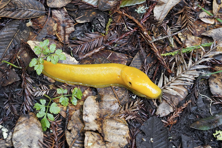
in places. There were also banana slugs. Lots of them. I stopped counting
after about 15 in the first 10 minutes. After about 0.4 miles we turned left
onto the Borden Hatch Mill Trail. After another 0.2 miles we turned left
onto the narrow Bald Knob Trail. Soon we were in a forest with ferns on
either side of the trail. The Bald Knob Trail is a fairly gentle climb
through the forest.
Banana slug
Grabtown Gulch Trail
Grabtown Gulch Trail
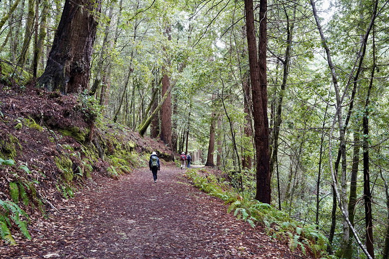
Borden Hatch Mill Trail
After turning a corner we could see that the skies were starting to clear a bit,
but the fog hadn't completely lifted. There was one downed tree blocking the
trail that we had to climb over. And then soon after that we reached the Irish
Ridge trail, about 1.9 miles from the trailhead. There's a spur trail to the
right which leads to the top of Bald Knob, but I didn't think the views would
be great because of the fog. Plus, I knew we'd get some views on the Irish
Ridge Trail, anyway. So we went left instead.
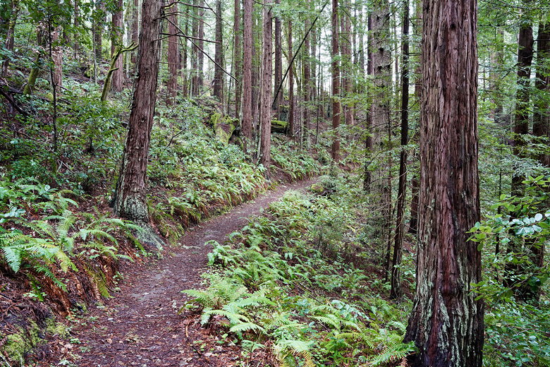
Ferns along Bald Knob Trail
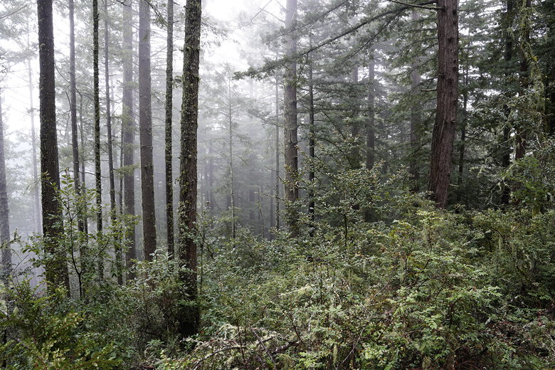
Misty forest next to the Bald Knob Trail
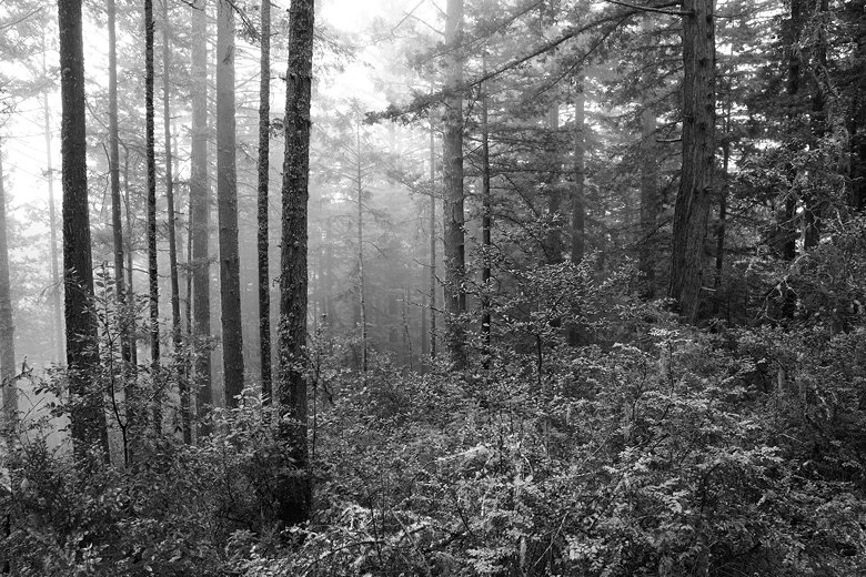
Black and white version
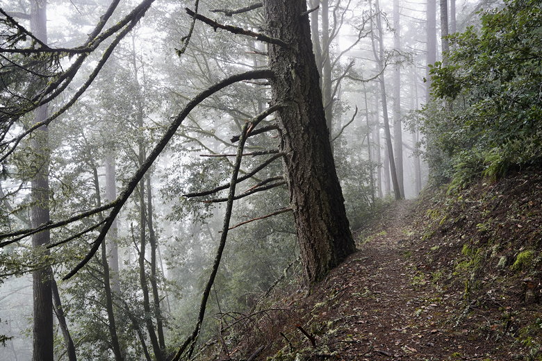
Bald Knob Trail
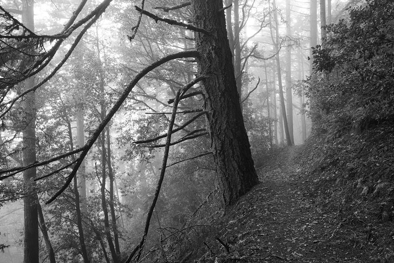
Black and white version
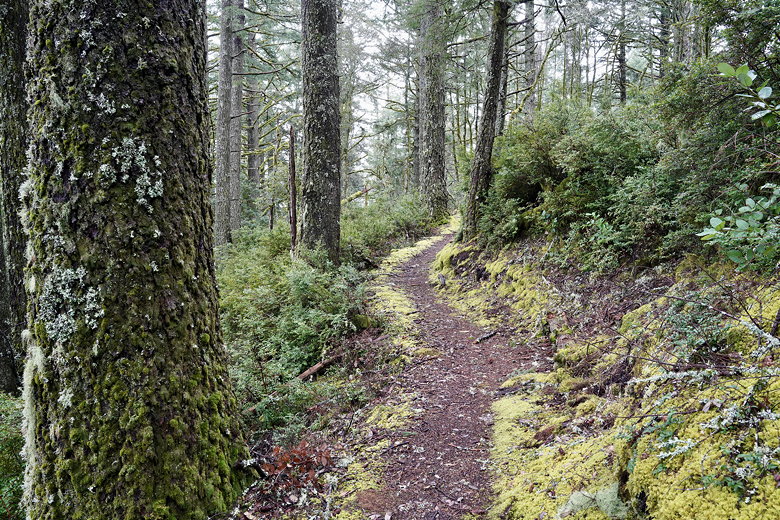
Moss on the Bald Knob Trail
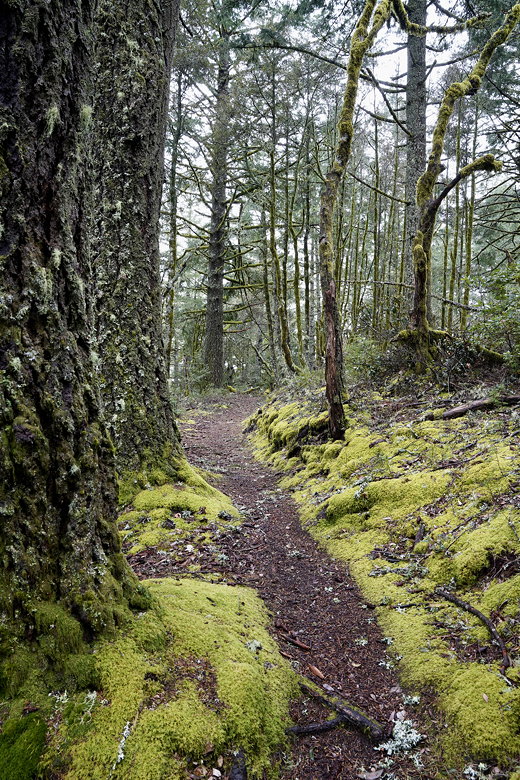
Moss on the Bald Knob Trail
The Irish Ridge Trail descends, steeply at times, on a somewhat grassy trail.
Soon enough we did get views of the Pacific Ocean and hills to the right.
The views don't last long, though, and
after that the descent is somewhat uneventful (other than dodging all the
banana slugs). After descending about a mile we reached the Lobitos Creek
Trail. We turned right and almost immediately saw our destination: the
"Elbow tree" (as indicated on the park map). It's a huge redwood tree with
what looks like another tree hanging off the side of it like someone holding
up a hand making a turn signal.
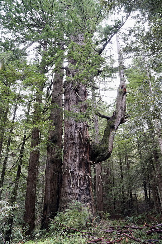
Elbow tree
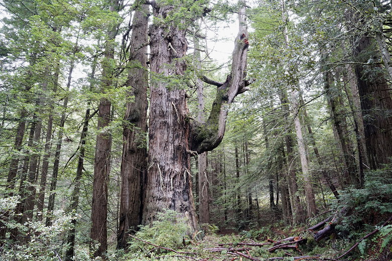
Elbow tree
We stopped near the tree to have lunch. The Lobitos Creek Trail actually
continues past the tree for about 0.7 miles, though lots of downed branches lay on the trail here.
But after lunch we just turned around and headed back up the Irish Ridge Trail.
While the skies were clearer, I didn't give much thought
to taking the spur trail up to Bald Knob. Instead we just turned right
onto the Bald Knob Trail, over the downed tree, and then continued all the way
back to the trailhead.
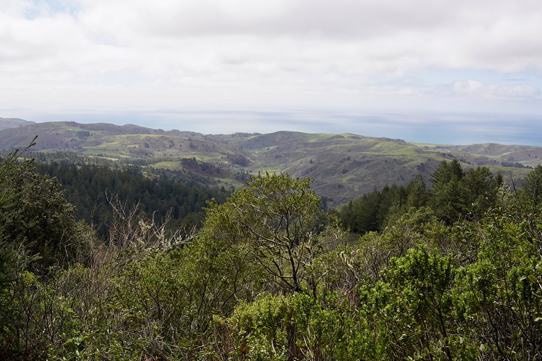
View from the Irish Ridge Trail
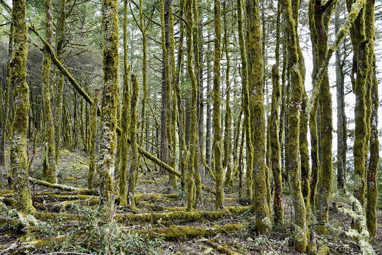
Moss covered trees at the Bald Knob/Irish Ridge intersection
While it may not sound like a very exciting hike, I would definitely recommend
coming here when it's foggy. The redwood forest has a sort of magical appeal
when it's enshrouded in fog and mist. I wouldn't come here for the views,
although there are some. Come for the forest. And try not to step on any banana
slugs.
| 


