|
Bear Creek Redwoods had been on my list of places to visit since it opened in 2019.
But I was partly deterred by warnings about the parking lot filling up, especially
on weekends. Since we were hiking on a Monday, I figured now would be a good time
to visit.
The lot was only about half full when we arrived at around 11am. There are bathrooms
here, as well as Upper Lake (which is more like a pond, not much to see). After
getting ready we walked back across Bear Creek Road to start the hike.
If you're going to Bear Creek Redwoods, there aren't many trails to choose from. The
hike described here pretty much covers them all. Except, maybe by the time you read
this there will be more. There is a very short trail encircling Upper Lake which
we didn't bother with. But there are also plans to demolish the old Alma College
buildings and build perhaps 2 miles of trails in that area. Not sure of time-table,
but best guess is that it'll be added in a year or two.
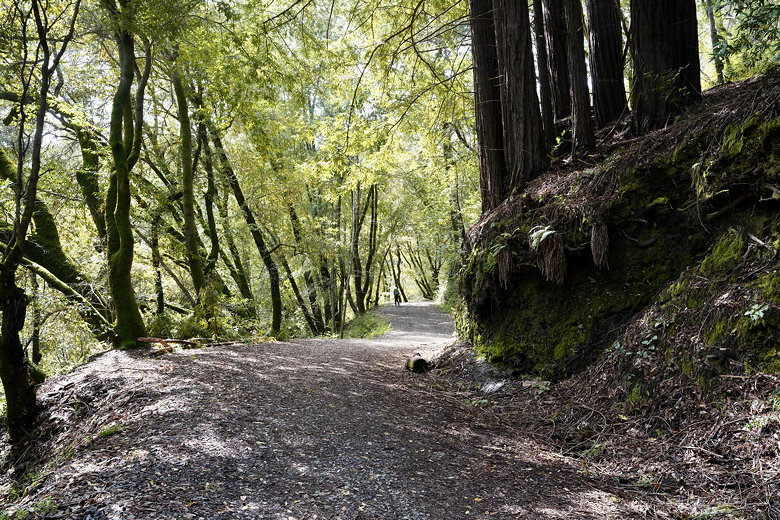
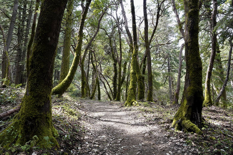
In any case, we started off on the Alma Trail, which immediately starts climbing
through the forest. The trail passes through some nice redwood forest, with
tiny blue wildflowers visible at this time. After about 1.2 miles there's a
trail intersection. Here you can go left or right to do a loop. To the left is the
Alma Trail, and to the right is the Redwood Springs Trail. Both sections of trail are
1.5 miles and meet each other on the other side. Alma Trail heads downhill (and then
goes back up), while Redwood Springs Trail heads up immediately. We decided to take
the Alma Trail going this direction and would take the other trail coming back.
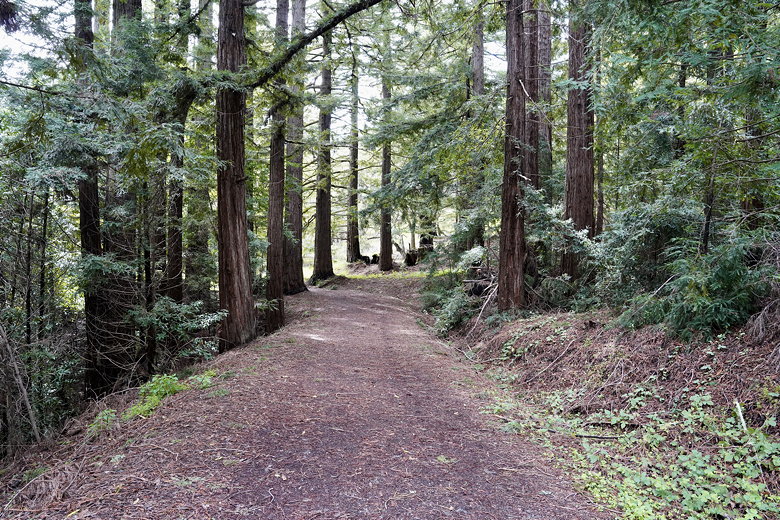
Alma Trail
Alma Trail
After descending, the trail levels out and then starts climbing again. At some point
along here there's a nice short bridge (which for some reason is rated for up to 36 tons).
Almost all of the trails here are wide dirt roads so I guess maintenance vehicles use them.
Alma Trail
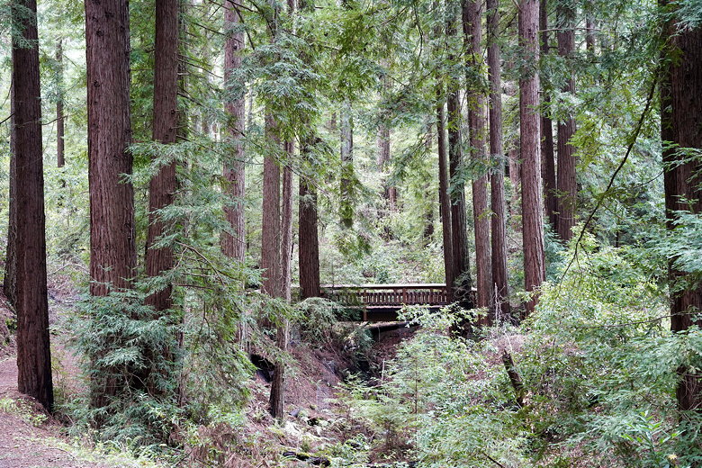
Bridge on the Alma Trail
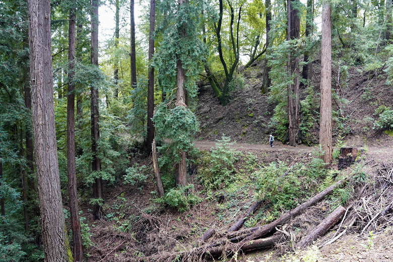
After 1.5 miles we came to another trail intersection. We veered left to take the Madrone
Knoll Trail. This is about 0.9 miles of uphill. After about 0.2 miles we actually crossed
a private road, then continued along the trail. The end of the trail is somewhat
anti-climactic. After all this climbing, your reward is...nothing. Madrone Knoll sits at
about 2400 feet elevation, near the end of Skyline Boulevard. But trees block the view in all
directions.
Madrone Knoll Trail
At least it's a nice quiet place to have a picnic, which we did. After lunch we turned around
and headed back downhill. At the intersection we turned left to take the Redwood Springs Trail
back. This started off mostly downhill and flat, but there was one brief uphill section,
maybe about 5 minutes of climbing, before continuing downhill. The forest along this trail
is not as pretty as the forest along Alma Trail, so I'd probably recommend just taking the
Alma Trail back. Except...near the lower intersection I spotted a patch of blue that looked
completely out of place. It turned out to be those tiny blue wildflowers, packed tightly
together in a small clearing. I normally wouldn't, but I felt compelled to go slightly
off-trail here (only stepping on fallen leaves, no vegetation) to get some pictures.
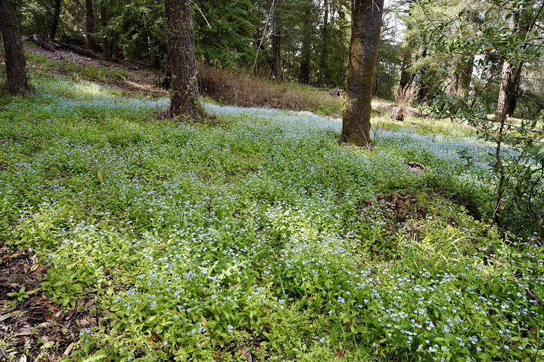
Flowers next to the Redwood Springs Trail
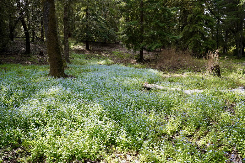
Flowers next to the Redwood Springs Trail
At the intersection we re-joined the Alma Trail and took it back to the parking area, which
was now almost empty.
| 

