|
The Hayward Shoreline Interpretive Center is right next to Highway 92,
not far from the San Mateo Bridge toll plaza. But, it doesn't
take long to get away from the traffic.
We walked past the center
(which was open, but we didn't see anyone go in or out, and
there were only a handful of cars here). Then we turned left and
started off on the flat, wide, gravel trail. Almost immediately
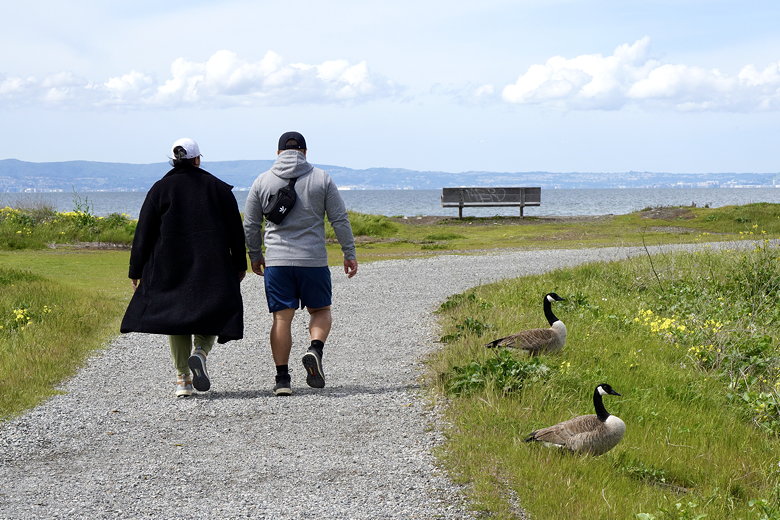
we saw a couple joggers and a cyclist. You'll almost assuredly see
many of them on the trail. You'll also see birds. Lots of birds.
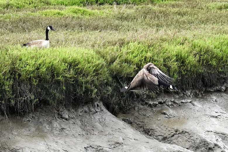
Goose in flight
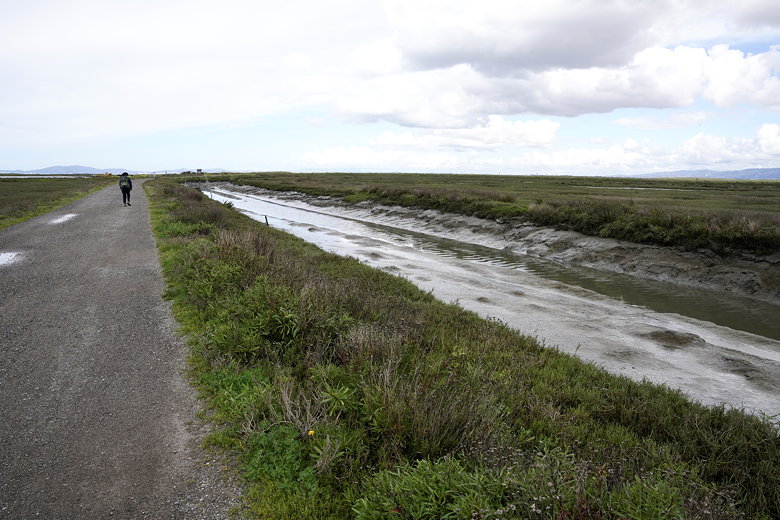
Walking next to the muddy canal
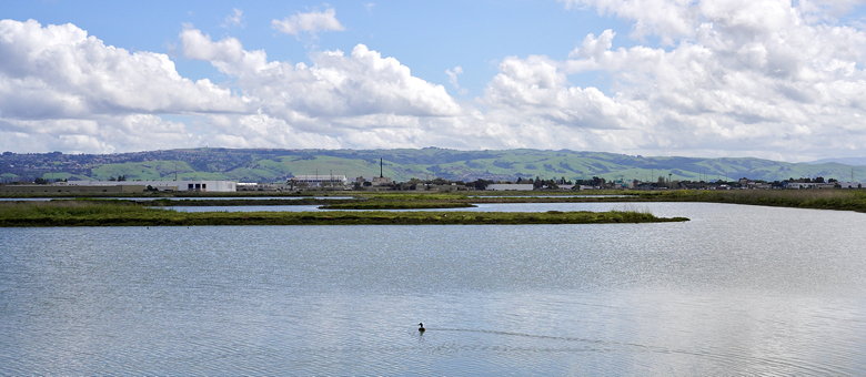
Looking toward the San Mateo Bridge
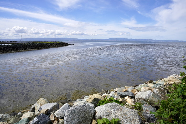
Looking toward the bridge
It had rained overnight, and a brief thunderstorm was forecast for
this afternoon, but the trail was mostly dry. There were a few
puddles that were easily walked around. There are no trees, only
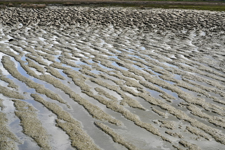
grasses and some bushes in places. There's water in various forms
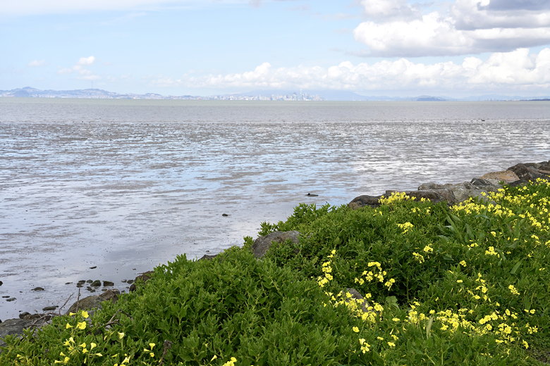
on both sides of the trail. Canals, ponds, marsh, and bay. At
the start there's a canal on the left.
Hills beyond Hayward
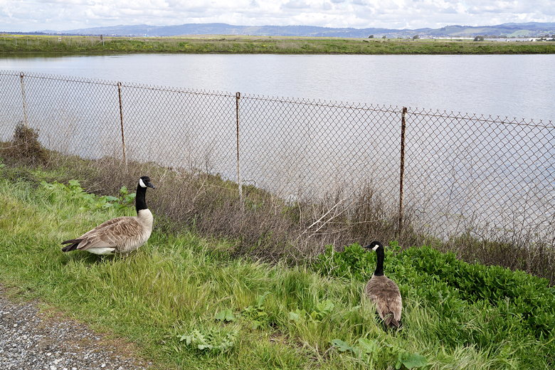
Two geese
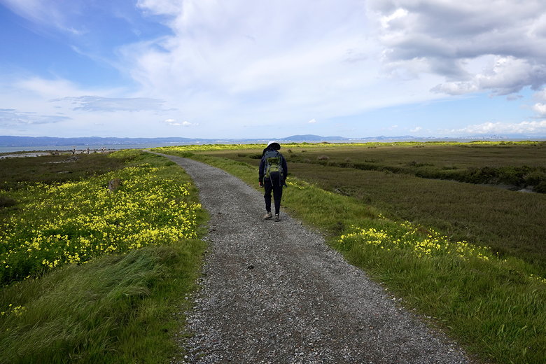
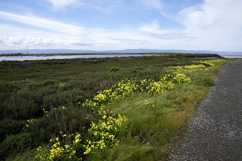
Walking past the wildflowers
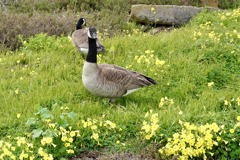
Geese amongst the flowers
After about of mile we reached an intersection and turned left. This
would be part of a loop at Cogswell Marsh. To the left we could see
little birds walking on water/marsh at the edge of the bay. Further
out to the north we could see the downtown buildings of both San Francisco
and Oakland on either side of the bay.
San Francisco from afar
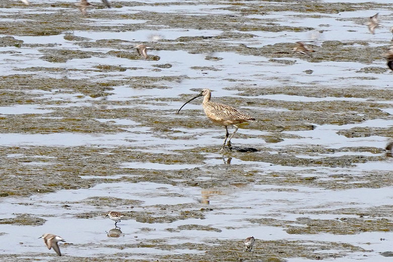
Lots of birds
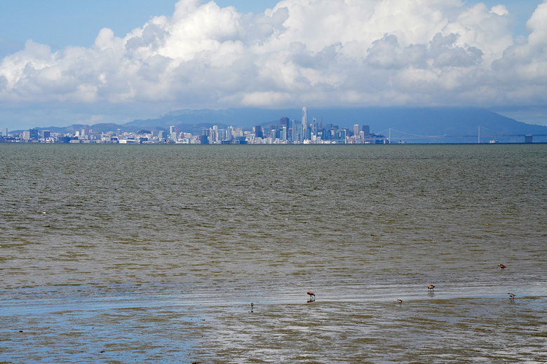
Downtown San Francisco
After about 0.6 miles, we reached another intersection (the other side
of the first loop) and crossed a long bridge. After another 0.4 miles
we reached another intersection and took the left fork. We started to
encounter more people now as we neared the parking lot at the other end
of this hike. After reaching Hayward's Landing, we turned right and
walked along the paved path along the flood control channel. There were
lots of people along this half mile stretch to the parking lot. There
are actually two parking areas here: one near the flood control
channel crossing, and then another at the end of of the road, where
there's also a bathroom. We stopped there briefly before getting back
on the trail, turning left and completing the second loop.
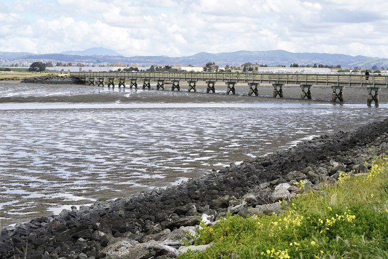
The long bridge
View from the long bridge
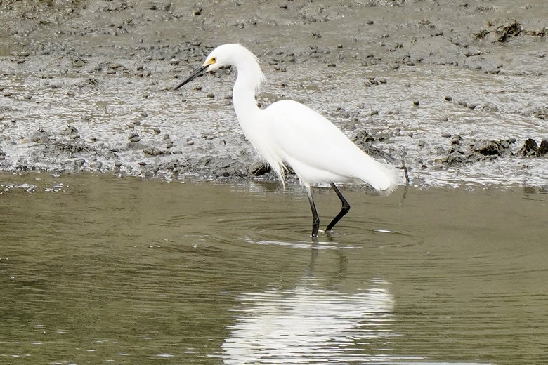
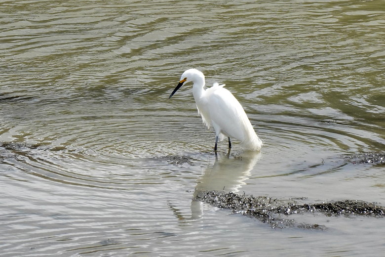
Egret
Geese standing at attention
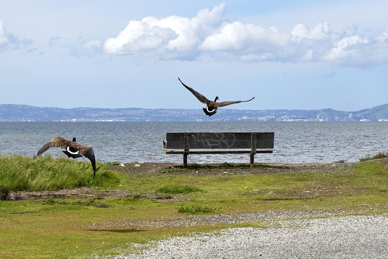
Geese in flight
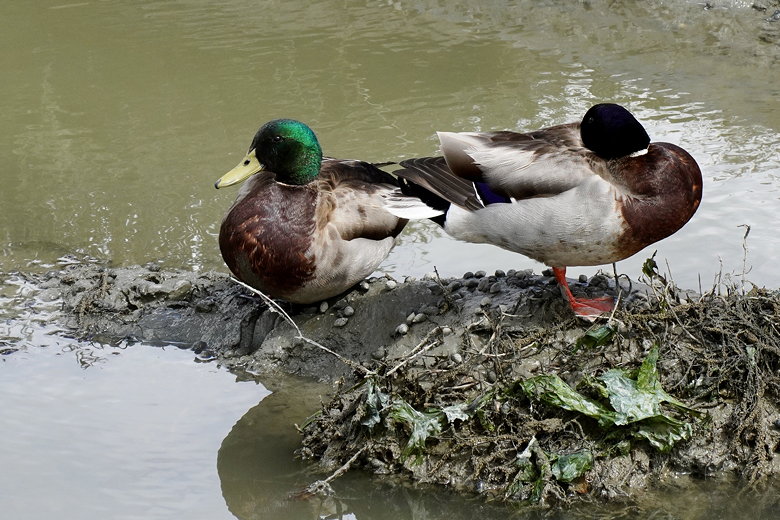
Ducks
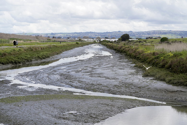
Flood control channel
After crossing the long bridge again we took the left fork to complete
the first loop, then turned left for the final stretch back to the car
as drops of rain started to fall. We got to the end just as we started
to hear thunder in the distance. If you're going to do this hike, you
can park at either end. There were far more cars at the northern end.
It seems like there's sufficient parking at either end, though perhaps
you're more likely to run into an issue at the northern end.
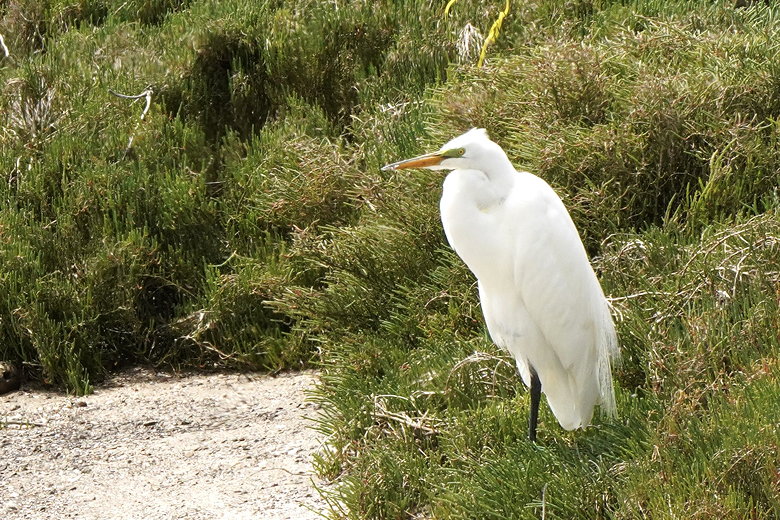
Egret
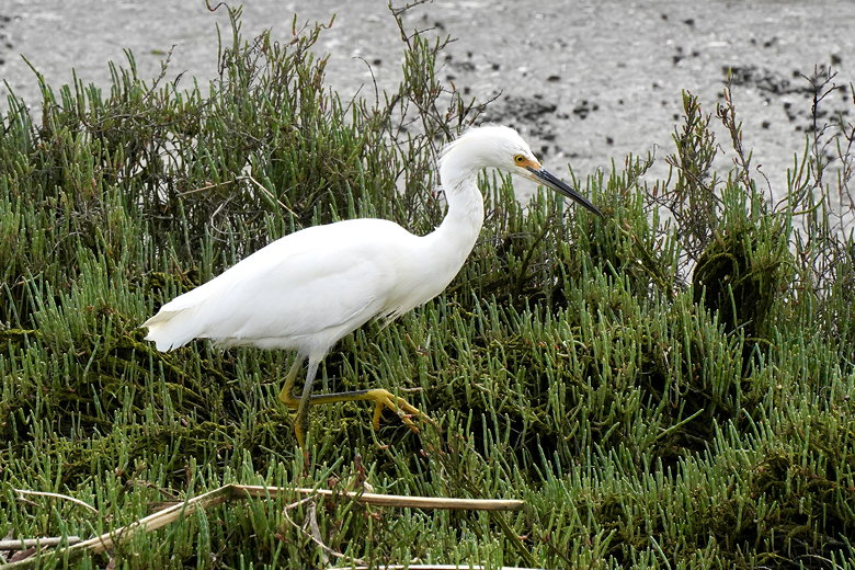
Egret
Big egret
| 

