|
There were only a handful of cars in the parking lot when we arrived around noon
on this bright sunny spring day.
One couple was doing the 1-mile Grasshopper Loop Trail. Three other hikers were
doing a short out-and-back (we'd see them later). And one couple was just
finishing their hike. They said they did a 7 mile out-and-back and only saw like
4 people.
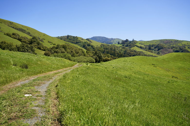
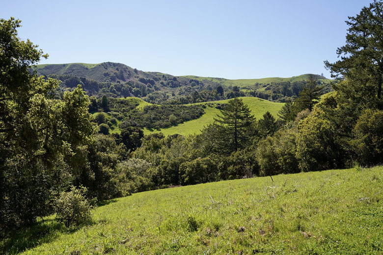
We started off on the trail, which is a wide gravel and dirt road with a gentle incline. For the first
mile you're walking next to a barbed-wire fence, next to power lines. But there are
also lots of rolling green hills (in the spring, at least), some dotted with wildflowers.
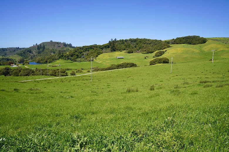
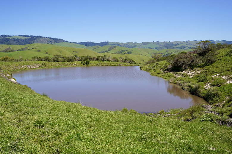
Pond and hills seen near the start of the hike
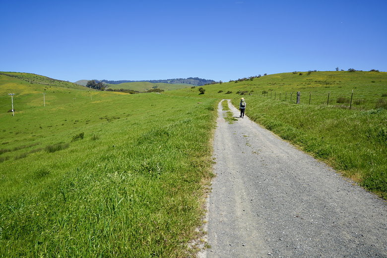
Walking next to the fence
In the first mile we saw about a half dozen people on the trail, including the
3 hikers we'd seen in the parking lot, who were now turning around. We didn't see
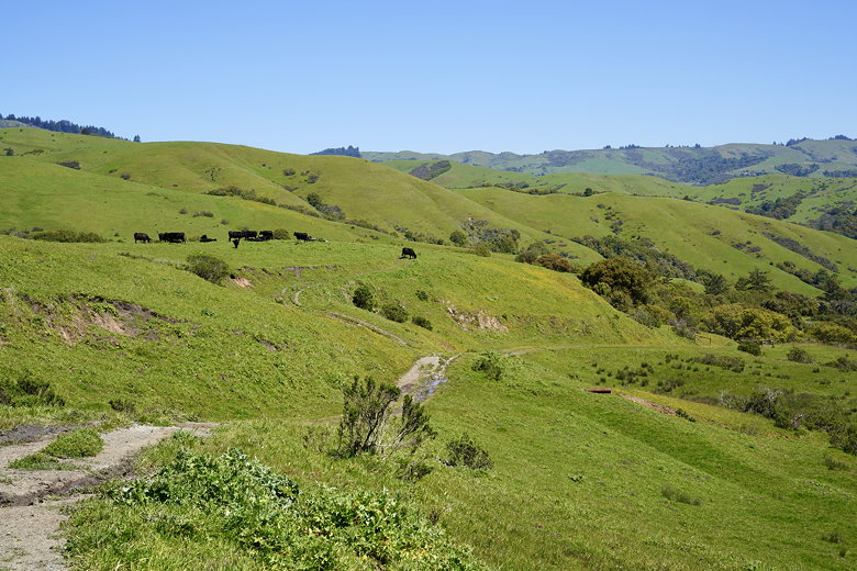
anyone else the rest of the hike. What we did see was cows. Lots and lots of cows.
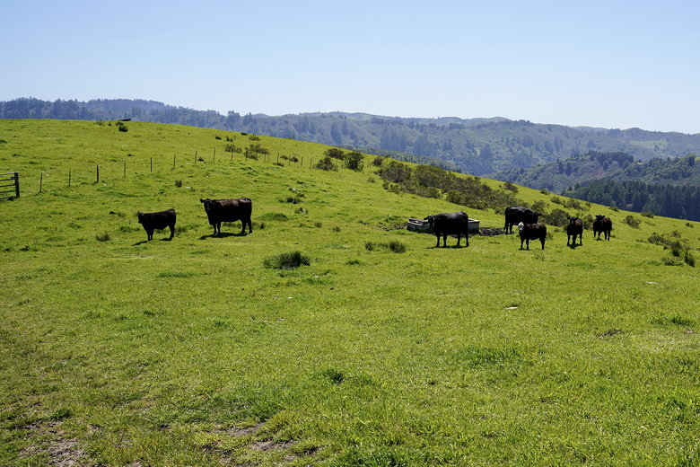
After crossing one of many cattle gates, we were confronted with about 8 cows clustered
together on the trail right in front of us, blocking our path. We walked around.
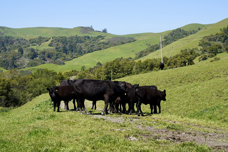
Cows blocking our path
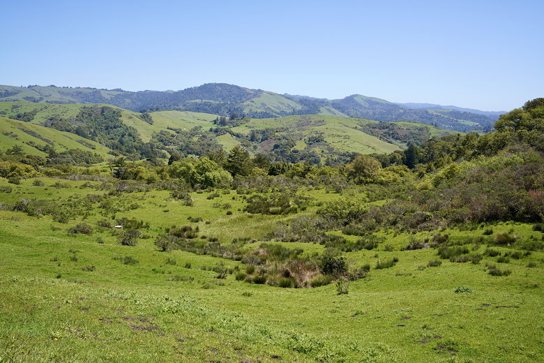
Rolling green hills
Looking back down the trail
The trail now descends, though not steeply, before crossing the creek (over a bridge).
The creek was flowing, though not picture-worthy. After the creek crossing the trail
starts a steady climb. Along the way we saw more cows, some of them hiding in the
shade just off the trail (there was hardly any shade on this hike, and they were using
it). One of the cows decided to leave us a present right on the trail in front of us.
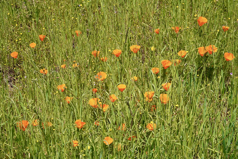
Poppies next to the trail
Cows above the trail
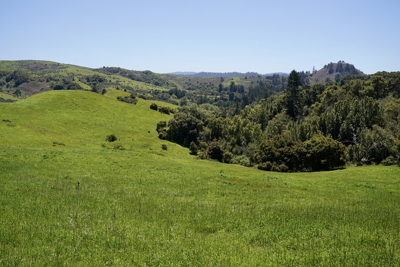
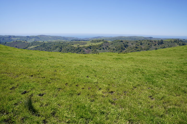
After carefully passing the cows, we continued the climb. To this point I hadn't
been that impressed by the hike, but now the views started to open up. First, we had views of the cows and the hillsides. But then we reached the top and had views to the
west where we could see out to the Pacific Ocean.
More views
Small pond near the top
Looking at the ocean
After we descended a bit we stopped at the intersection with the Folger Ranch Loop
Trail. The trail was closed (too wet, apparently), but we found a nice spot away
from the cows, with views of the ocean, where we could stop and have lunch.
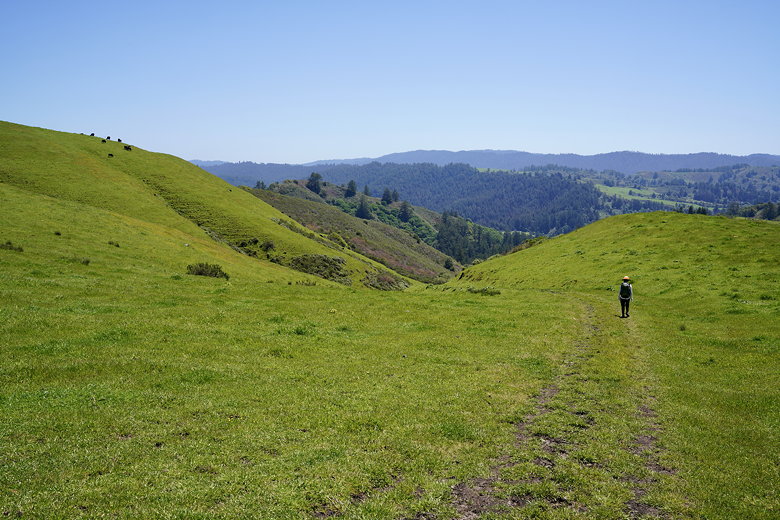
Heading down the trail (cows upper left)
Heading down the trail
After lunch we continued down the Harrington Creek Trail. When we reached the other end
of the Folger Ranch Loop Trail, we turned around and started the return trip. We started
to feel the afternoon heat a little bit on the way back, but it was fine. I wouldn't
want to do this in the summer, though.
Cows eyeing us suspiciously
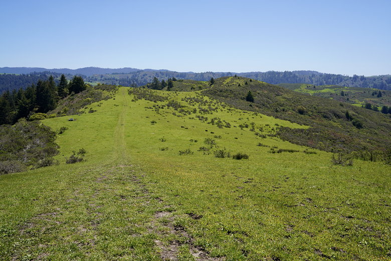
More views from the trail (cows on the left middle hill, trust me)
We passed the same cows on the way back, some of them eyeing us suspiciously. When
we got back to the last mile we saw a turkey next to the trail. When we got to the
parking lot, there was another couple there who asked if we'd heard a cat (we hadn't;
I'm guessing they meant mountain lion).
They said they lived in the area and see mountain lions nearby. Come to think of it,
I did see some paw prints in the mud that definitely weren't from cows (and dogs aren't
allowed in that part of the park), so maybe... I wasn't paying that much attention to
the prints, though, so I can't say for sure.
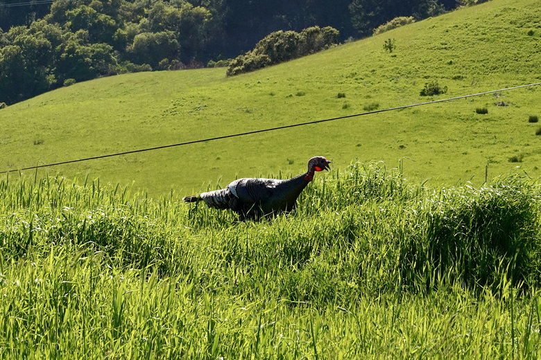
Turkey
| 

