|
After parking at the Grizzly Flat trailhead, we walked across Skyline Boulevard
(carefully, since cars go super fast in this area), then started hiking on the
Peters Creek Trail. The hike is a big loop, so you can do the loop in either
direction.
This is a pretty, mostly shaded trail to start. We encountered several other
hikers and some mountain bikers along the trail. After about 1.4 miles we reached
a pond (near the Jikoji zen center) where we stopped briefly for a snack. After the pond, the trail switchbacks
up and then the views open up. There are rolling green hills stretching to the south.
There's a bench along here somewhere so you can sit and enjoy the views.
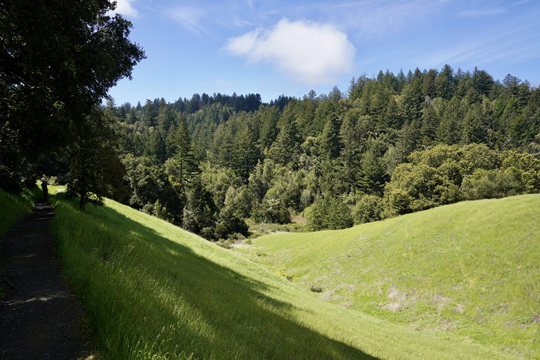
Views near the start of the trail

Into the forest

Pond near the zen center

Enjoying the view
We re-entered the forest, but took the side trail to the right which leads to
Turtle Rock. It's a short (maybe 0.1 mile) detour and worth it just to see more views.
However, the "Turtle Rock" itself is underwhelming. I guess there's a native American
story behind it, but it's not much just to look at.
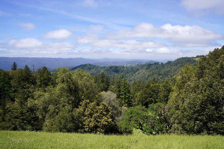
View to the west
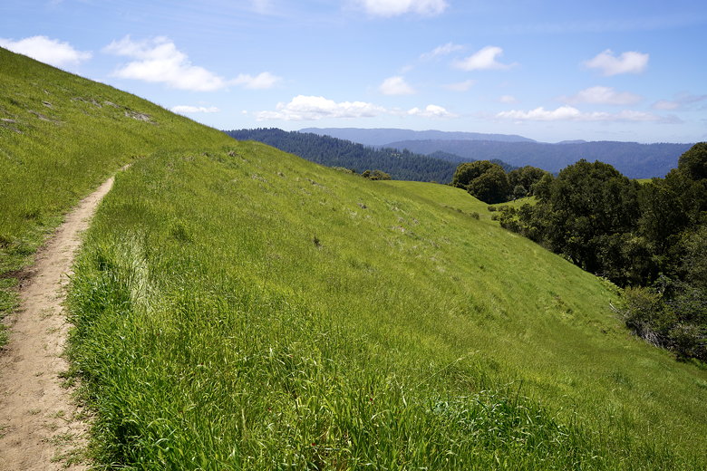
More trail views
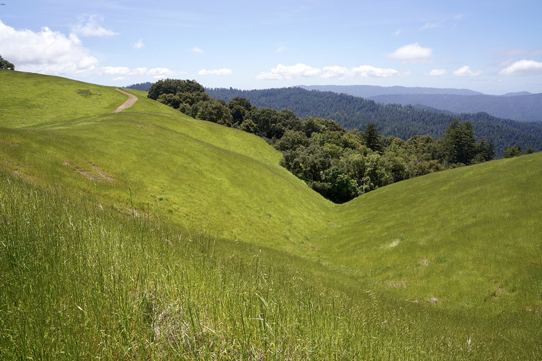
Rolling green hills

Climbing up
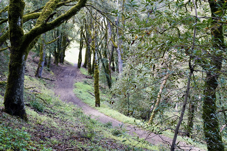
Trail near Turtle Rock
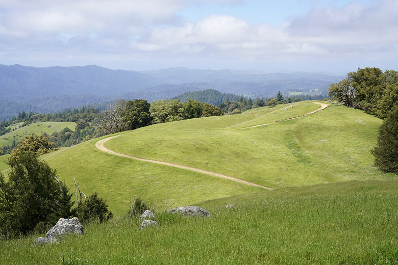
View from Turtle Rock
We returned to the main trail and then turned left, crossing Skyline Boulevard. We then
joined the Saratoga Gap Trail. While the western side of the hike had been relatively
cool, the forested sections had mossy trees, and there were lots of views, the eastern
side of the hike was completely different. For the most part it was forested with
hardly any views, and not much to look at in general. It also felt considerably warmer
for some reason, but perhaps that was just due to the time of day.
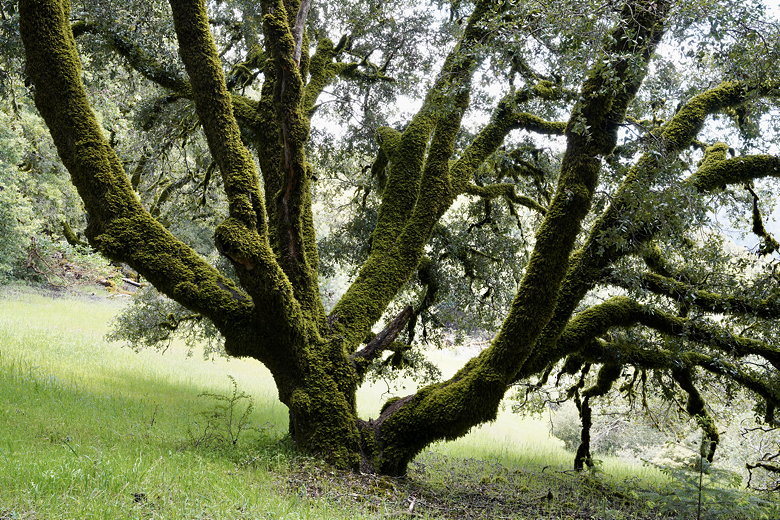
Mossy tree
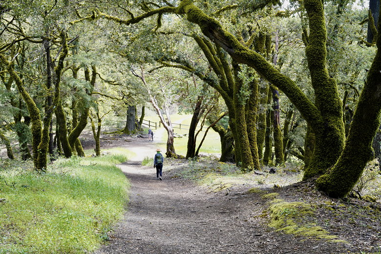
Descending toward Skyline
We turned left onto the Table Mountain Trail, which steadily descended. At just under
6 miles into the hike we stopped where the trail crossed a small stream. We took a
lunch break here as we listened to the soothing sounds of the water. Thankfully we
couldn't hear the cars racing on Skyline Boulevard from here.
Babbling brook sound.
After lunch we continued along the trail which is mostly flat for a while before descending
some more to Stevens Creek. There were signs warning that the trail could be flooded.
At this time the water was maybe 6 inches deep. There didn't seem to be any great
rock-hopping opportunities here. We probably could have just chanced it and walked across
in our boots and hoped not to get too wet. But I had read ahead of time that this was
a possibility so we had our water shoes. We changed into them and crossed; the water was
refreshingly cold.

Crossing Stevens Creek

Stevens Creek
We put our hiking boots back on and picked up the trail on the other side. A short while
later we came to another water crossing. The water might have been a bit deeper here, but
we were too lazy to put on our water shoes, and it looked like we could avoid most of the
water by walking on some rocks. The rocks didn't actually end up helping much, and I ended
up walking in the water with my boots briefly, but my socks managed to stay dry.
After that it was a long slog uphill for about 2 miles. We hardly saw anyone on the eastern
part of our hike, maybe 1 hiker and 2 mountain bikers. Honestly, though, if I had to do it
again I'd probably spend all or most of the hike in Long Ridge and skip the Upper Stevens
Creek part of the hike. There's just not as much of interest there.
| 


