|
We had hiked the Priest Rock trail a lifetime ago (ok, it was 1998). I didn't remember
much about it, and this time we would be going further, all the way to Mount El
Sombroso and back.
When we arrived there were a handful of cars parked on the side of the road, leaving one
or two spots left. We parked behind them and immediately noticed that it was really
windy. I figured we'd warm up quickly with all the uphill, though, so I started off in
just a short-sleeve shirt, no fleece. I wouldn't need it on this hike.
The Priest Rock Trail starts climbing immediately. We got a few views of Lexington
Reservoir, but nothing great. There actually is some shade on this part of the trail,
although you might not notice because of the climbing. Despite the toughness of
this hike, we did encounter other hikers and joggers, and a few cyclists. Although
there were signs stating that e-bikes are not allowed, more than half of the bikes
we saw were e-bikes. To be honest, I'm not sure why e-bikes are disallowed since all
the trails are wide dirt roads. Maybe a speed limit would be in order, although none of
the riders we saw were going very fast.
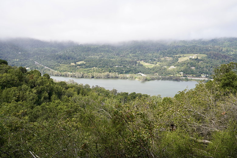
Lexington Reservoir
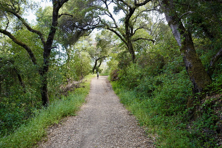
Priest Rock Trail
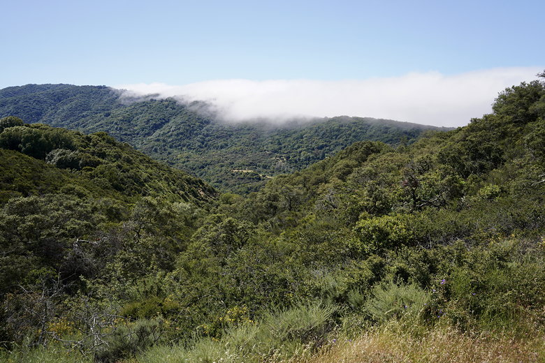
Fog creeping over the hills to the west
After about 2.5 miles we reached an intersection. This hike is basically a figure 8, and
we'd now reached the center of that figure 8. We took the right fork (the Limekiln Trail).
Somewhere along here we saw some hikers coming in the opposite direction, and they warned
us about a snake on the trail. We never saw it, though. We did see lots of butterflies
and flowers along both sides of the trail. We could hear a stream far below in the forest.
We stopped here briefly for a snack before continuing the climb.
As we climbed we got some better views, although the Limekiln Trail basically weaves in and
out of transmission towers. About 5.5 miles from the trailhead we reached
another trail intersection - the end of the figure 8. We stayed straight to continue on
the Woods Trail. Shortly we got some of the best views on the hike. We could see the south
bay to the left, and Mount Umunhum to the right (clearly visible because of the cube
building on top).
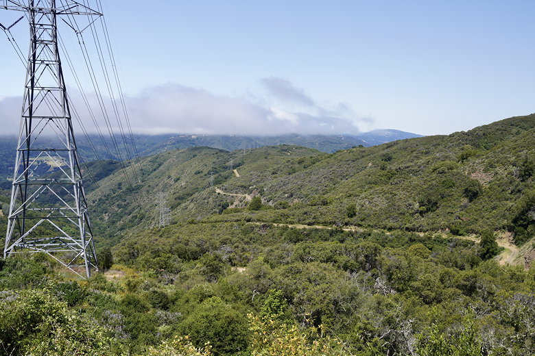
Transmission towers
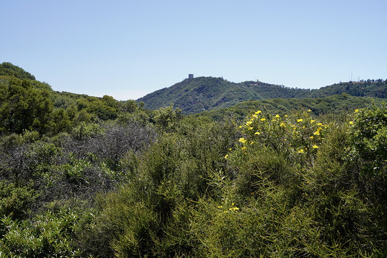
Mount Umunhum
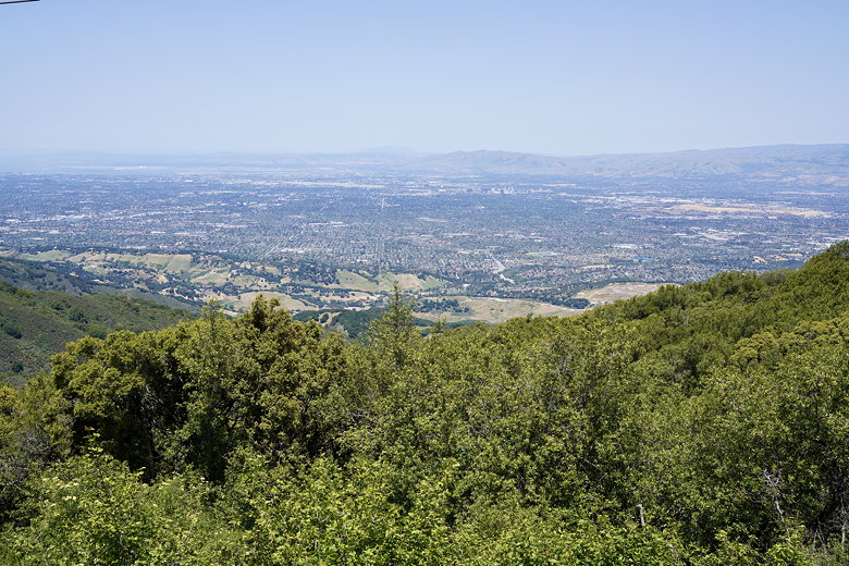
View of the South Bay
After about 0.6 miles of the Woods Trail we came to another intersection. The Woods Trail
continues down to the right, so we turned left onto a short spur to reach the top of
Mount El Sombroso. At the top is...a transmission tower. We went a little further to see
if there was anything better ahead, but there wasn't. So we turned around and just sat
down next to the tower to have lunch. While we were there another hiker passed us,
found there was nothing further ahead, and turned around as well.
After lunch we returned to the Woods Trail and turned right. When we got back to the
intersection we turned right onto the Kennedy Trail. In retrospect, if there was one part of the hike
I'd like to skip, it would be this. We hiked the Kennedy Trail in the hot afternoon sun, with little
to no shade. Plus, it was steep. I mean really steep; in some places probably close to 30% grade and
gravelly. We were glad to have our trekking poles to control our descent. Although the trail
trends downhill, there were lots of ups and downs, steep in both directions. Whoever was driving
the bulldozer to make this dirt road wasn't thinking about making an easy grade. You could avoid
this stretch by just taking the Limekiln Trail both ways, which I think would be better.
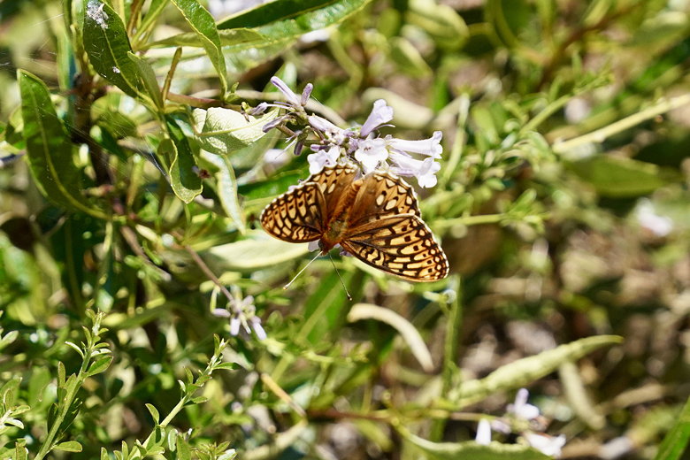
One of many butterflies
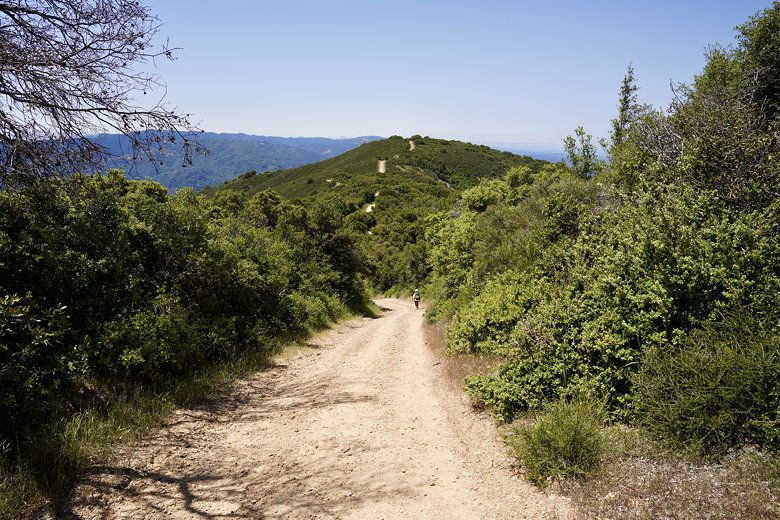
Descending the Kennedy Trail
We saw a hiker sitting on the side of the trail, boots and socks off. I asked if he was ok,
but he said he was just resting. He was in one of the only shady spots on the trail.
It was hot enough on this spring day; I can only imagine the pain on a summer day.
At the next intersection we turned left onto the Priest Rock Trail and followed it down to the
intersection at the middle of the figure 8.
We turned right onto the Limekiln Trail, now only about 2.5 miles from the trailhead.
Well, the Limekiln Trailhead, anyway. This part of the trail is arguably the nicest part of
the hike. There are basically no views, but it's almost entirely in the shade of a
surprisingly thick forest. After descending a bit we could see Lexington Quarry,
which seemed shockingly out of place, the ground stripped bare of any vegetation.
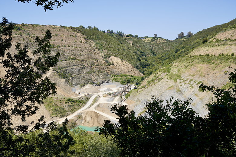
Lexington Quarry
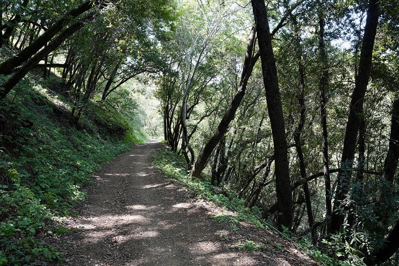
Limekiln Trail
As we descended further we could hear a stream down to our right. Soon enough we were back on
Alma Bridge Road, but about 0.3 miles from our car. We turned left and walked up the road
to get back to our car.
| 


