|
Once again I was looking for a long training route, preferably in the shade.
Even though we'd been to El Corte de Madera a few times already, it fit the bill.
We arrived at the parking lot around 9:30am, and it was already almost full.
Most of the people still in the lot were in various stages of getting their
mountain bikes ready. On this hike, I'd say 90% of the people we saw were
riding bikes, and only about 10% were hikers.
We started off on the trail, which is probably at least 95% shaded. The one
thing you have to watch for is mountain bikers. This is not the hike to wear
earbuds on! After taking the Sierra Morena Trail out of the parking lot,
we turned left onto the Oljon Trail and started descending.
We turned right onto the Steam Donkey Trail. Most of the trails are
well-signed. However, we missed a left turn onto the Steam Donkey Trail
later and ended up on the Gordon Mill Trail instead (on the way back, I noticed
that there simply was no sign here). It was hard to tell via
GPS that we were on the wrong trail since the two trails run parallel for a
decent stretch. By the time we realized the mistake, it was too late and we decided
to just keep going on the Gordon Mill Trail. Either way would have led us to the
same place in about the same distance, anyway.
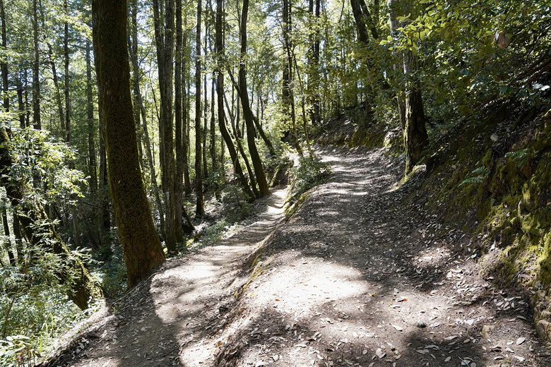
Next, we came to the Crossover Trail. Before we could start up the trail, a group
of mountain bikers came racing down the trail. We then proceeded cautiously up the
trail, ready to step to the right to let any other bikers past. Next we made a sharp
left onto the Crosscut Trail, then eventually veered left to join the wider Timberview Trail.
Crossover/Crosscut Trails
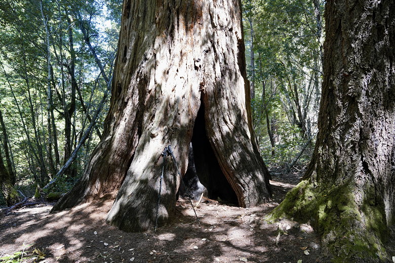
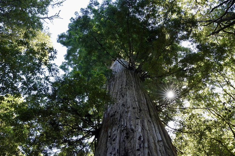
We turned left onto a short spur trail to reach the Old Growth Redwood. We'd been here
3 years ago, but it was still nice to check out the huge tree again. We returned to the
Timberview Trail, then turned right onto the Giant Salamander Trail. This crossed a stream
or two on its way to the Methuselah Trail, where we turned left.
Old Growth Redwood
Old Growth Redwood
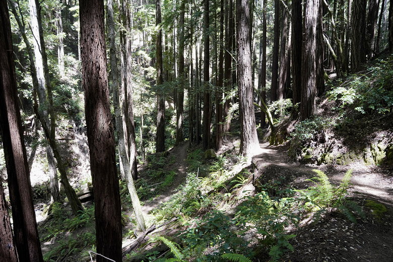
About 5 miles from the trailhead we reached El Corte de Madera Creek. There are two
small foot bridges here, set amongst towering redwoods, with ample space to find a nice
spot for a picnic near the creek. We settled down for lunch here and enjoyed the
forest and listened to the water flowing by. Video at El Corte de Madera Creek
Descent to El Corte de Madera Creek
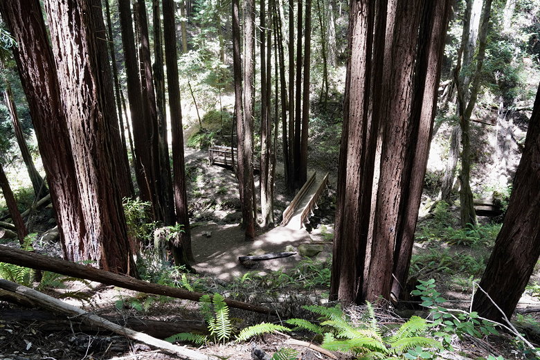
Bridges at El Corte de Madera Creek
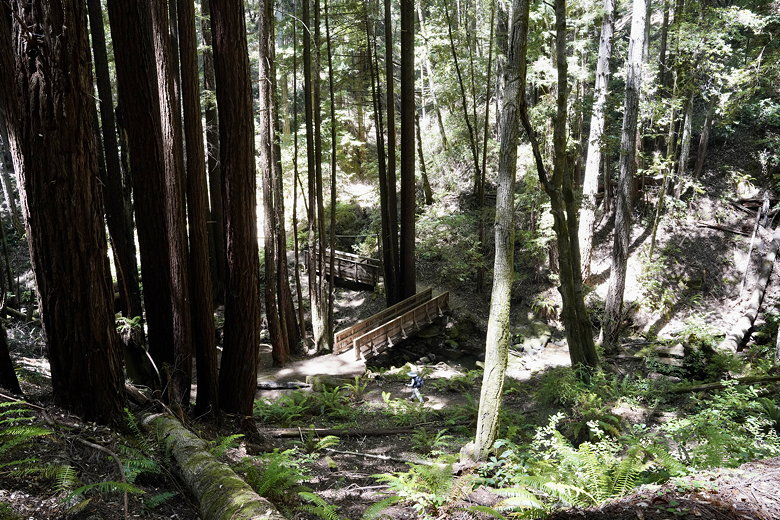
Bridges at El Corte de Madera Creek
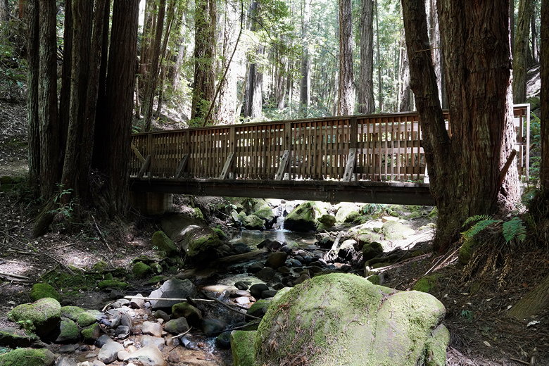
Bridge at El Corte de Madera Creek
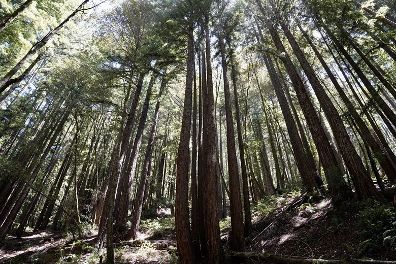
Redwoods above El Corte de Madera Creek
After lunch, we continued up the Methuselah Trail. Next we turned left onto the S Leaf Trail.
This roughly parallels Star Hill Road, and there are a couple side trails you can take to
reach the road. The trail itself isn't all that interesting, and it was overgrown when we
took it. One advantage of that fact is that we didn't see a single mountain biker on this
stretch.
At the end of the trail we turned left onto the wide Virginia Mill Trail. We crossed
El Corte de Madera Creek again, but this crossing isn't nearly as nice as the first one.
At some point along this trail the sheer length of this hike started to take its toll.
That second creek crossing was the low point of the hike (in elevation), and there was
lot of uphill from here. As I mentioned, it was mostly shaded, but at this point we
were almost 9 miles into the hike and still had a lot of climbing to go. At some point along this
trail we had to stop for a snack break.
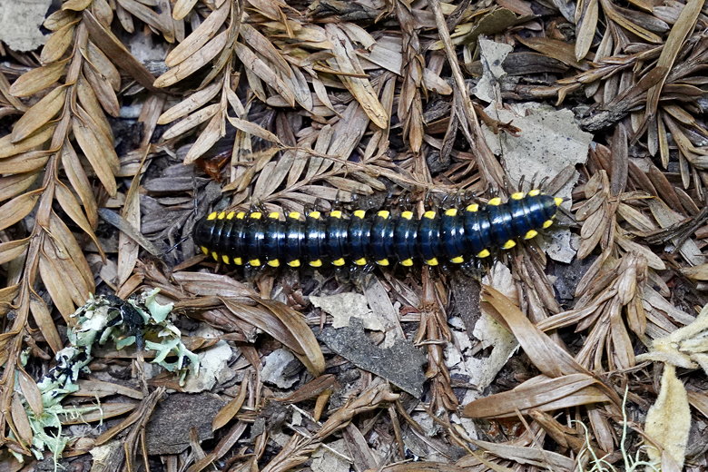
Millipede on the trail
We turned right onto the Lawrence Creek Trail, then turned left onto the Blue Blossom
Trail. Next was a left onto the Spring Board Trail. We stopped briefly before heading
up the steep Steam Donkey Trail. Eventually this crossed the Gordon Mill Trail, where
I saw the lack of a trail sign. We turned right and from here on out were on the
same trails we'd taken at the start. When we arrived at the parking lot, at nearly 6pm,
it was nearly empty. Still, with over 2 1/2 hours of daylight left, some people were just
getting started.
| 


