|
Once again we were looking for a long training hike and we duplicated a hike we
did training for the JMT back in 2015. The conditions this time were very
different, though, as we did it in April back then. This time it was a hot, humid
day in June.
The park was full of campers, and the trailhead parking lot was almost full, but we
got one of the last 2 or 3 spots. On the drive in we could see mosquitoes all over
the place, so we put on some insect repellent before starting off on the Old Tree Trail.
After heading up the trail, we shortly turned left onto the Slate Creek Trail. It starts
climbing immediately. We could still hear the sounds of the campers below. At the
next intersection we turned right to stay on the Slate Creek Trail and started to leave
the camp noise behind.
Soon we passed the Herbert Eugene and Gertrude James Bolton Memorial Grove. There's a bench,
sign, and of course some towering redwoods. We returned to the main trail and continued
left at the next intersection (the Summit Trail was to the right). The trail is relatively
flat on this section of trail, reaching the Slate Creek Trail Campground about 2.5 miles into
the hike. As soon as we got there, a guy near the picnic bench stared at us. As we stopped
for a snack, he came over and pretended to check out the garbage container near us, talked to himself,
and returned to his picnic bench. He continued to talk to himself while we ate.
He looked like he had enough supplies to camp there for
at least a week or more, which we found odd. Needless to say, it was a little unsettling.
We quickly finished our snack and turned onto the Bear Creek Trail.
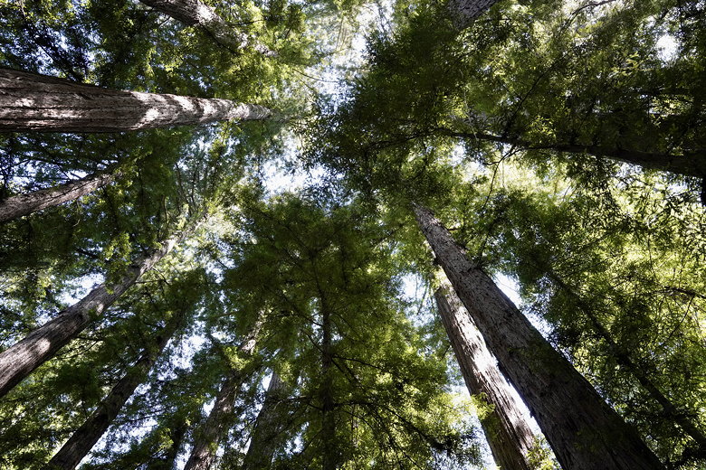
Herbert Eugene and Gertrude James Bolton Memorial Grove
The trail now starts climbing again. We saw an old rusted car down to the right and
wondered how it got there. I guess there must have used to be a road here, though there
were no longer any traces of it (other than the car). About 4 miles into the hike the trail
starts a steep descent. The trail also starts to become a bit overgrown. There are briefly
some views through the trees to the left of the surrounding forested hills.
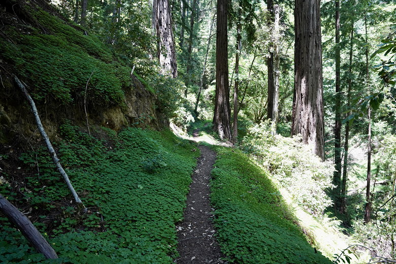
Bear Creek Trail
As we descended further, we had to cross over, below, or around several fallen trees.
Eventually we made it to Bear Creek, where we stopped for lunch. This is a nice area with
the creek running and towering redwoods above. The only problem was that the mosquitoes
loved it, too.
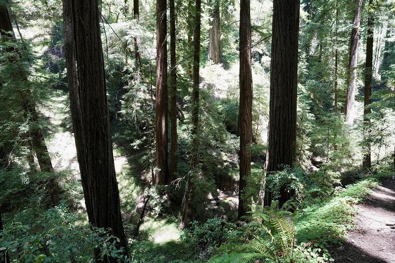
Overlooking Bear Creek
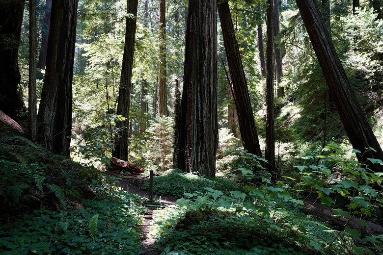
View from our lunch stop at Bear Creek
After lunch we crossed Bear Creek (basically stepped over it), then continued along the trail as it
basically follows Peters Creek. The trail then crosses Peters Creek (easily rock-hopped) and turns back the other direction.
Once on the other side, the trail is high above and a bit away from the creek, but it gives you a nice
view of the redwoods.
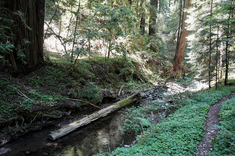
Peters Creek
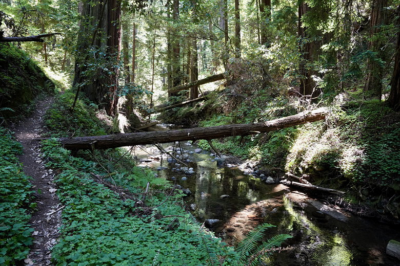
Peters Creek
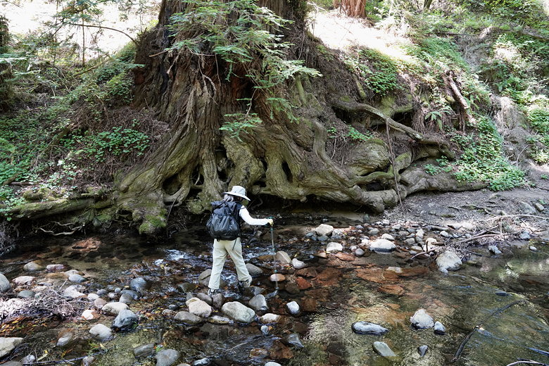
Crossing Peters Creek
The trail drops back down and crosses Peters Creek again (easily rock-hopped), then turns back the other way.
After crossing Bear Creek (small footbridge, if I recall), we completed the small loop section of the
hike and turned right to rejoin the trail we'd come in on. We passed by our lunch spot and started the steep
climb back up. This was the toughest part of the hike, made tougher by the heat and humidity.
After a long slog up, dripping with sweat, we descended down to the Slate Creek Trail Campground.
The same guy was there, now shirtless (couldn't blame him for that), though someone else was with him now.
We skipped past the campground and zipped through the easy final 2.5 miles back to the parking area.
Ours was the only remaining car. We stopped by the visitor's center to buy some well-earned cold sodas
before exiting the park.
Video of parts of the hike
| 


