|
I thought that since we were arriving around 3pm that parking wouldn't be a problem.
I was wrong. The lot was still full. But we could see people ending their hikes and we only waited a few minutes to snag a spot.
I would say arrive early the morning or later in the afternoon to make parking easier.
We'd done most of these trails before, but were looking for a short training hike today, so this fit the bill.
We started off on the Alambique Trail and immediately found ourselves hiking behind 3 horses. We pretty much
matched their pace as the trail climbed gently through the forest. Thankfully when we reached the first
trail intersection, they turned right onto the Loop Trail, while we continued straight on the Alambique Trail.
We continued, startling a few deer (including some very young ones) until we reached a small turnout to Alambique Flat at around 2 miles. There's a bench here with great
views of the redwoods towering overhead.
Video of forest at Alambique Flat
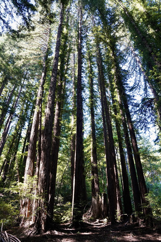
Trees at Alambique Flat
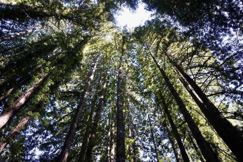
Looking up at trees at Alambique Flat
After a short snack break here we continued on the trail, then turned right onto the Bear Gulch Trail.
This shortly led us into a meadow (now all pretty much brown, whereas it would have been green about a month ago).
We turned right to descend on the Meadow Trail. Quickly, we re-entered the forest.
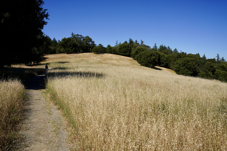
Meadow
We next turned left onto the Redwood Trail, which is relatively flat. We passed through some pretty redwood forest and Salamander Flat on our
right. The water there looks a toxic shade of green, just like I remember it.
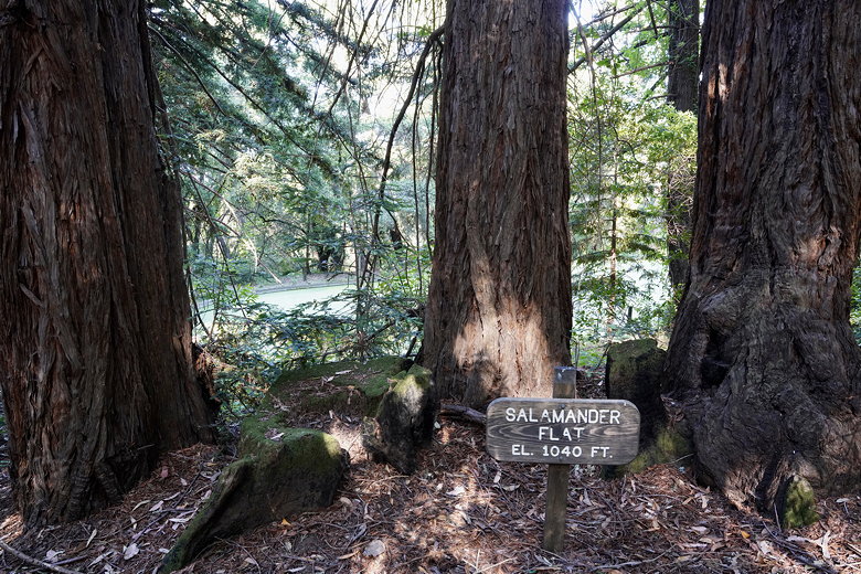
Salamander Flat
Next, we turned right onto the Bear Gulch Trail and started descending again. We mostly stayed on the Bear Gulch Trail as it
switchbacks down. We made a wrong turn near the bottom, turning left onto the Loop Trail instead of left onto the Bear
Gulch Trail, but this probably only added a minute or two to the hike. Soon enough we were back at the parking lot,
where there were now a handful of empty spaces.
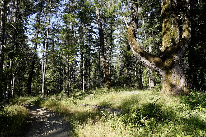
Bear Gulch Trail
| 


