|
Breakfast was at 7am as usual. When we walked down to breakfast we saw two policemen and wondered what was going on. Apparently there was a missing hiker and they were asking if anyone had seen him. They showed us pictures of him on their phones, but he didn't look familiar. We never found out what happened to him or any more info about him.
View from Hotel de la Forclaz
Breakfast consisted of orange juice/coffee, cereal, bread, yogurt, and hard boiled eggs. No deli meats or cheese, no fruit.
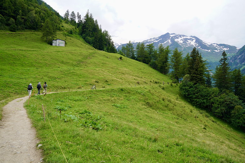
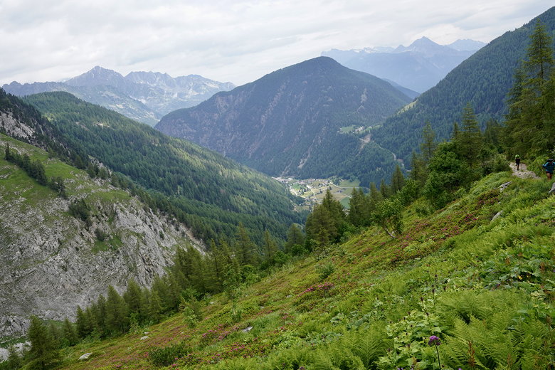
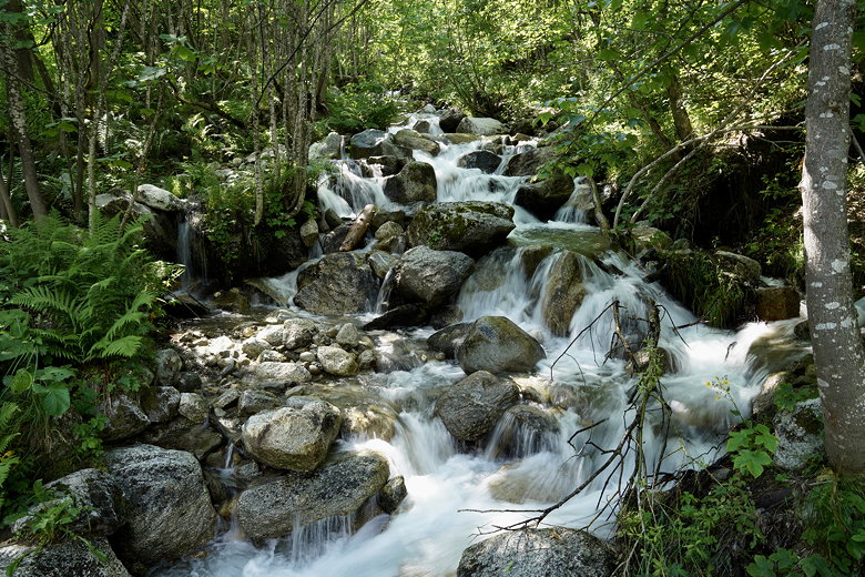
After getting ready, we headed off a bit later than usual, about 8:15am. We crossed the road and started the descent to Trient. We soon saw workers clearing the side of the trail with some machete-like tools. Soon after that we walked on an elevated metal walkway which hugs the side of the mountain, suspended above…air. It would be frightening to look down from here, so I didn't.
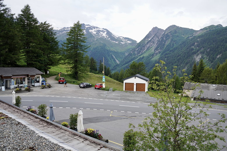
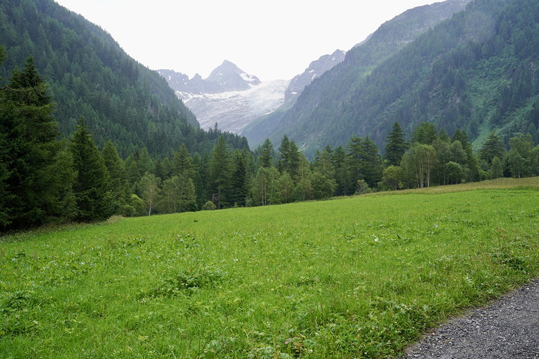
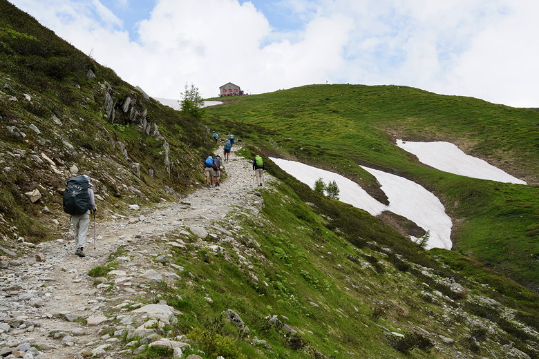
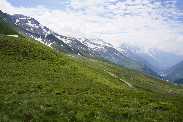
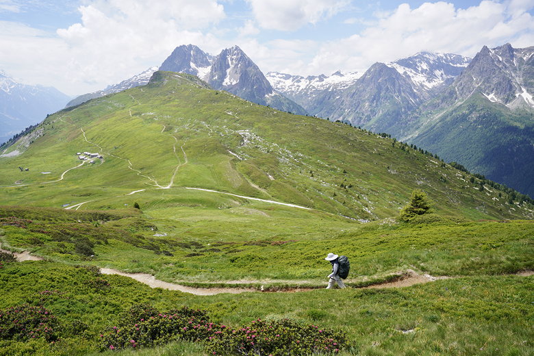
Starting the day's hike
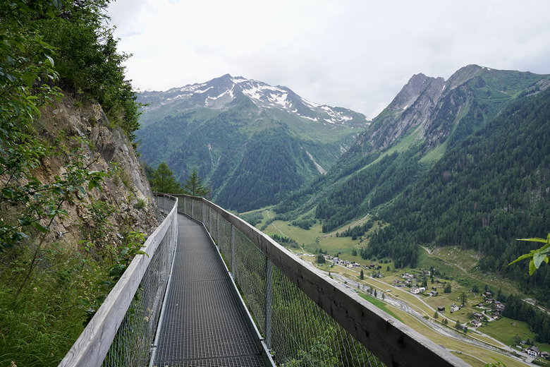
Elevated walkway above Trient
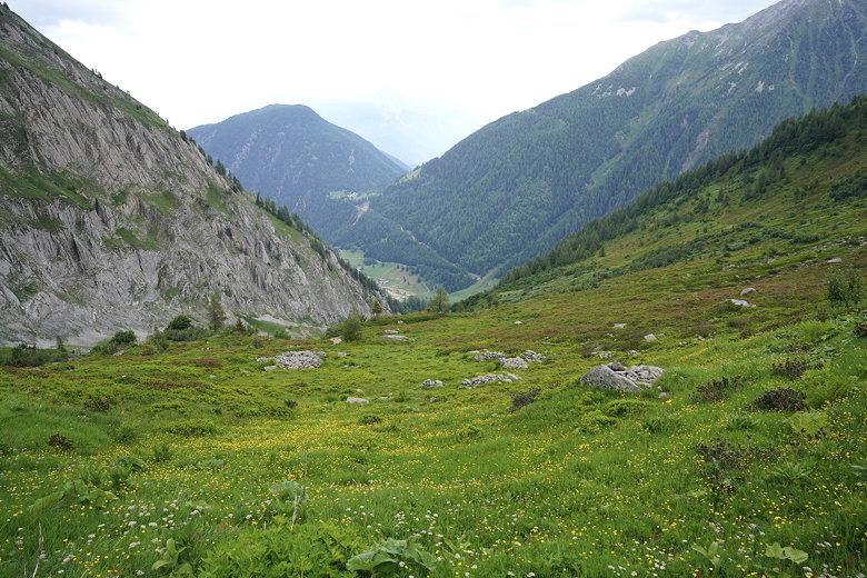
Continuing the descent, it gets steep at times, then crosses a road using a pedestrian overcrossing. It becomes steep again after that, eventually coming to another road. It's probably possible to turn left here and take a shorter route, but we turned right to (we think) stay on the official TMB route. We then curled to the left and walked past a cemetery and the pink church.
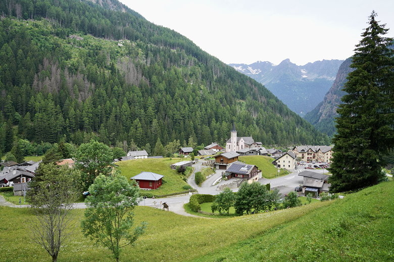
Trient
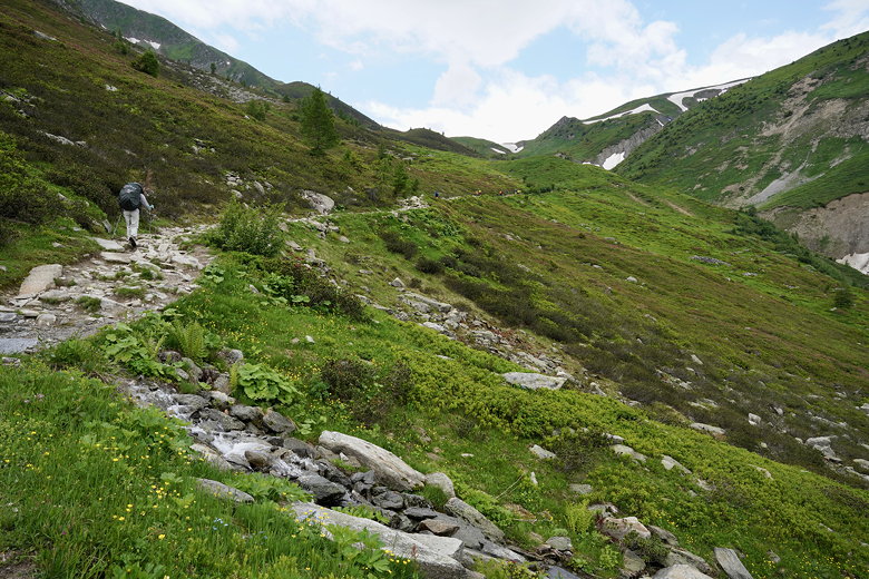
Soon after that the rain started. We saw another group ahead of us huddled next to a building, putting on their pack covers and jackets. We also found a building with an overhang to stop at. We put on our pack covers and rain pants and started walking again.
We immediately regretted putting on the rain pants as they were hot. And the rain stopped a few minutes later so we stopped and took them off. It didn't rain at all the rest of the day. It was very humid, though, as we climbed switchbacks through the forest. There are benches and picnic tables along the way, though many were occupied by resting hikers.
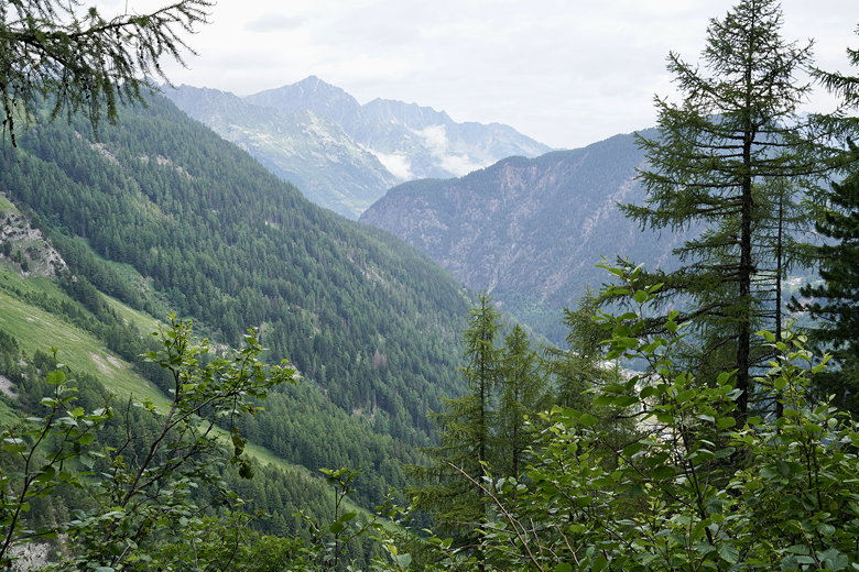
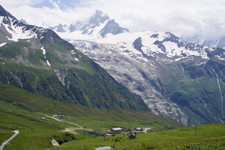
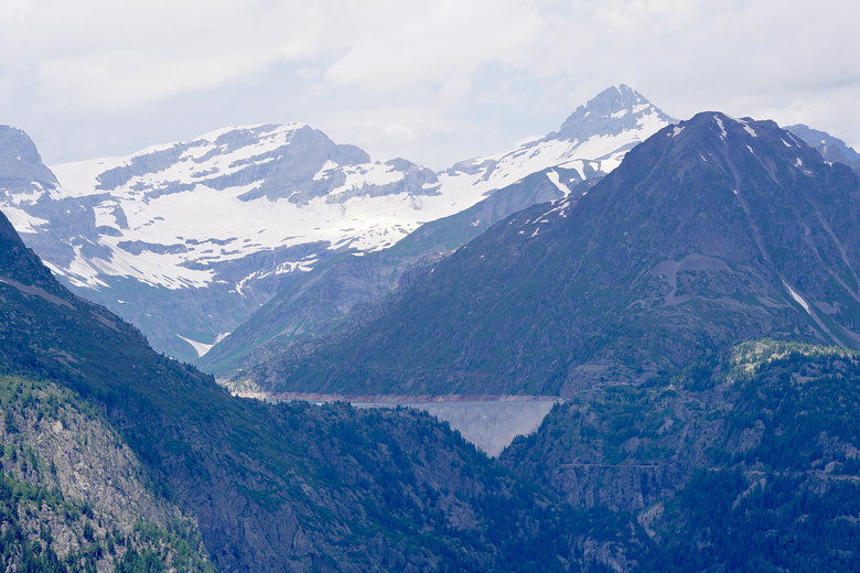
Looking up at a glacier
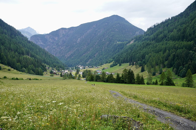
Looking back toward Trient

Wildflowers
We saw some men with machines clearing the grasses on the side of the trail. They stopped as we passed. On and on the climb went, switchback after switchback
in the forest. Finally, shortly after passing a plaque, the trail exits the forest and the grade becomes easier. No switchbacks for a long time now.
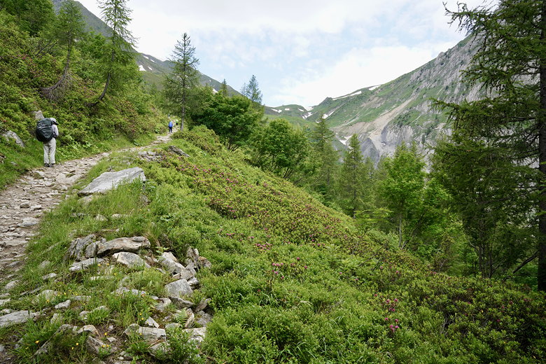
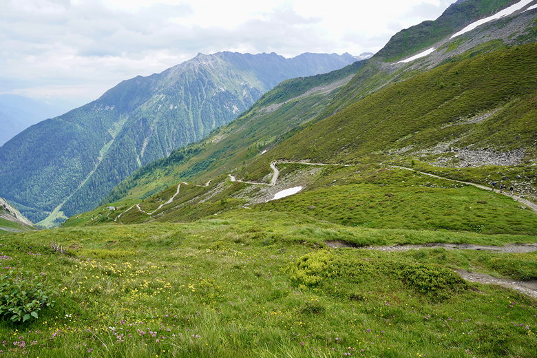
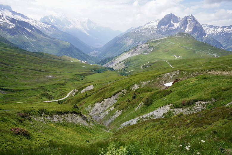
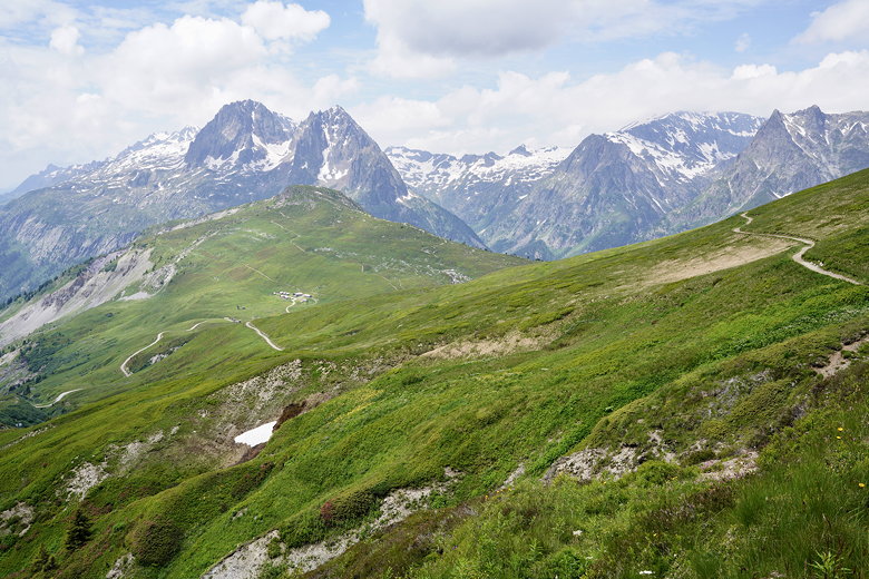
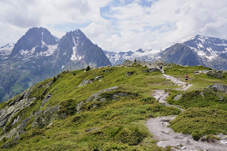
Views start to open up
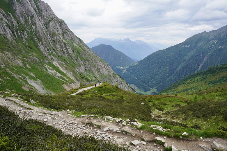
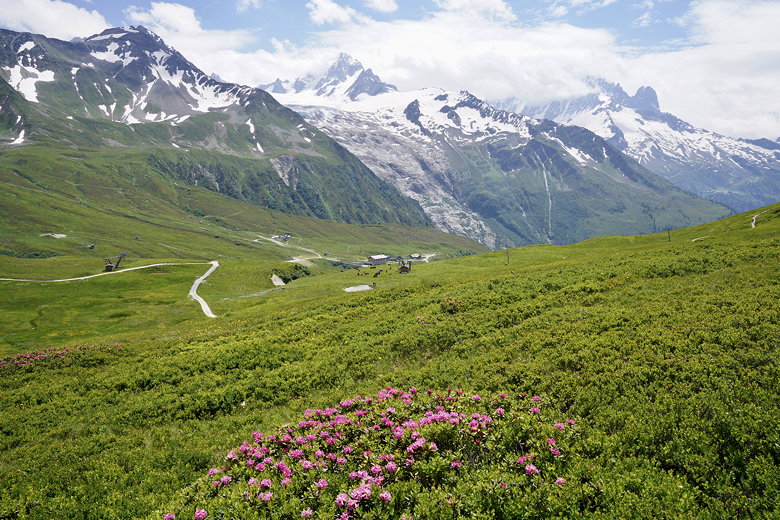
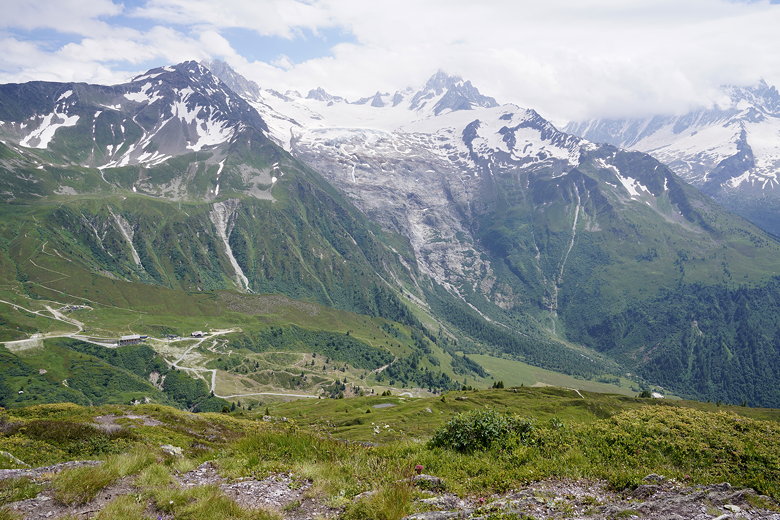
The views open up and we could see Refuge de la Balme up at the top. We even had to put on sunscreen at this point. It was still partly cloudy, but at least it wasn't humid anymore. The threat of rain was dissipating.
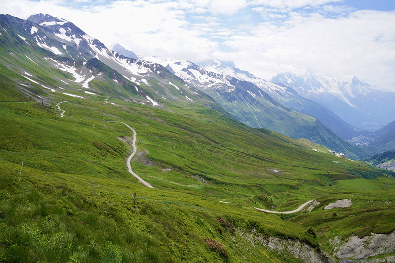
Heading up to Col de Balme
Looking back down
The climb continues
We continued up the climb, enjoying the views. But the refuge didn't seem to get any closer. In fact it disappeared from view after a while. Eventually we started another series of switchbacks. Past some old ruins. And then a final push to the top, where tons of people awaited. We arrived a bit before noon.
Looking back down
Looking back down
Final stretch to Refuge du Col de Balme
Looking back at the switchbacks
For whatever reason, we didn't see any tour groups on the way up, but there were a lot of people on the trail past the forest and at the refuge. Also, as we later found out, there's a gondola coming up from the other side to maybe a mile away from the refuge. So more people were streaming in from that direction.
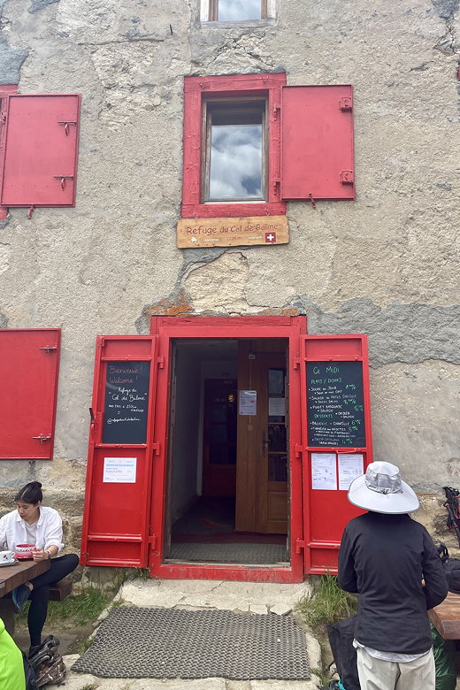
Refuge du Col de Balme
Day hikers coming from the gondola
We settled down on one of the many picnic tables and had lunch. We ate our bag lunches from the refuge, and also bought some dessert from the refuge.
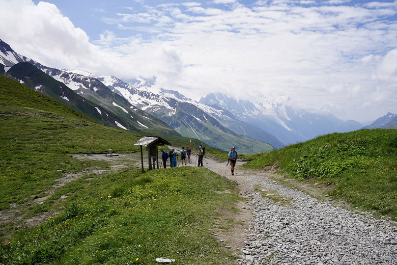
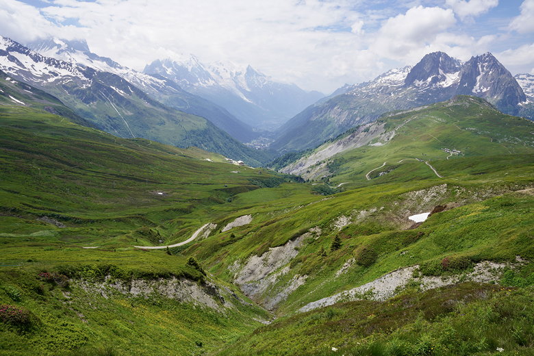
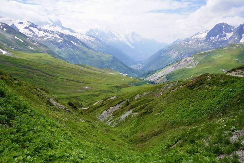
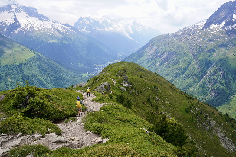
After lunch, we returned to the TMB trail. The col is at the border, so we were back in France now.
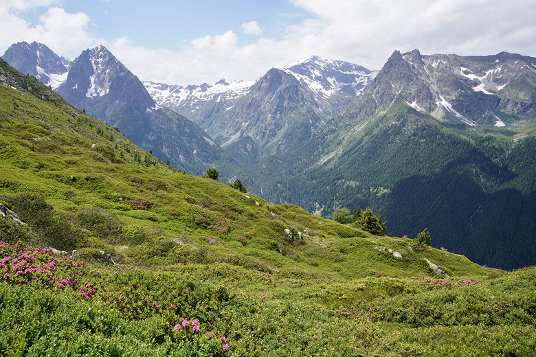
There are lots of trails going every which way here, so we had to take care to stick to our planned route. Here we had some of the best views of the trip, looking left across fields of flowers and up to glacier-capped mountains, and the Chamonix valley below. I would stop, take pictures, put my camera away, walk a few steps and repeat the process.
Mountain view
Mountain view
Mountain view
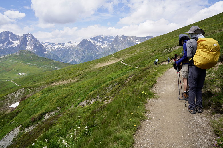
Trail with amazing views
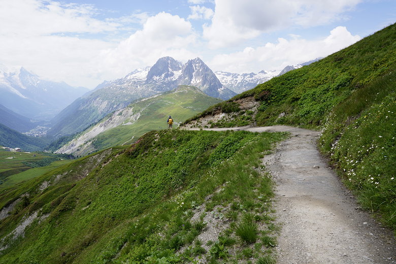
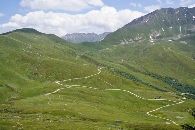
There are multiple paths and trails heading downhill. There are steep, wide, gravel paths and narrow dirt trails which are longer but not as steep. We usually opted for the latter.
Looking out toward Aiguillette des Posettes (the green mountain)
View from the trail
View from the trail
Trail view
Heading down to Col des Posettes
Eventually we made our way down, letting the trail runners pass us. Now we came to an intersection and a choice. We could take the high trail or the low trail. We opted for the high trail since that's the official TMB route and our original route. It would be tougher than we thought.
Flowers and mountains
Cattle and mountain
Looking back toward Col de Balme
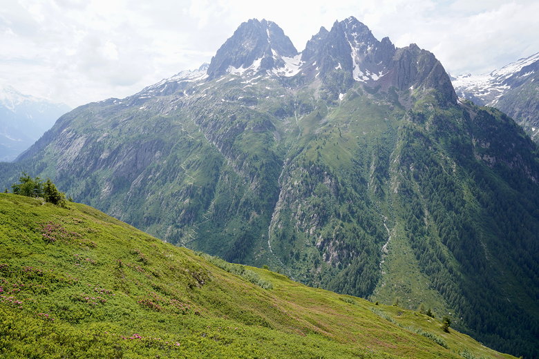
We started climbing up. I was comforted when I saw a man and his young son (maybe 6?) walking up as well. But it is not an easy climb. As we got higher the terrain became very rocky, slowing us down. Also, what we thought was the top was not. Not even close. There are 2 or 3 false summits. Each time yet more mountain above is revealed.
Most likely Emosson dam (to our right)
Mountain view
Mountain view
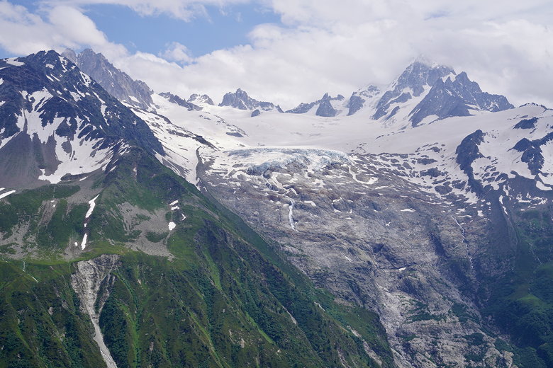
Glacier
Eventually we made it to the top. Birds soared in the wind. We stopped briefly then started the descent on the other side. The descent was no picnic, either. It was rocky as well. There were wooden steps, but many of them were very narrow making them not particularly easy to navigate. Also, we were now in full sun with the afternoon heat.
Aiguillette des Posettes
Starting the descent from Aiguillette des Posettes
Across the way we could see the trail switchbacking up toward our destination tomorrow, Lac Blanc. It looked intimidatingly steep (though we'd be taking a
different trail). Today, though, it was all downhill remaining. We eventually made it into the forest, where the switchbacks continued. Finally, we made it to the road.
Tomorrow's challenge
Looking down at the valley
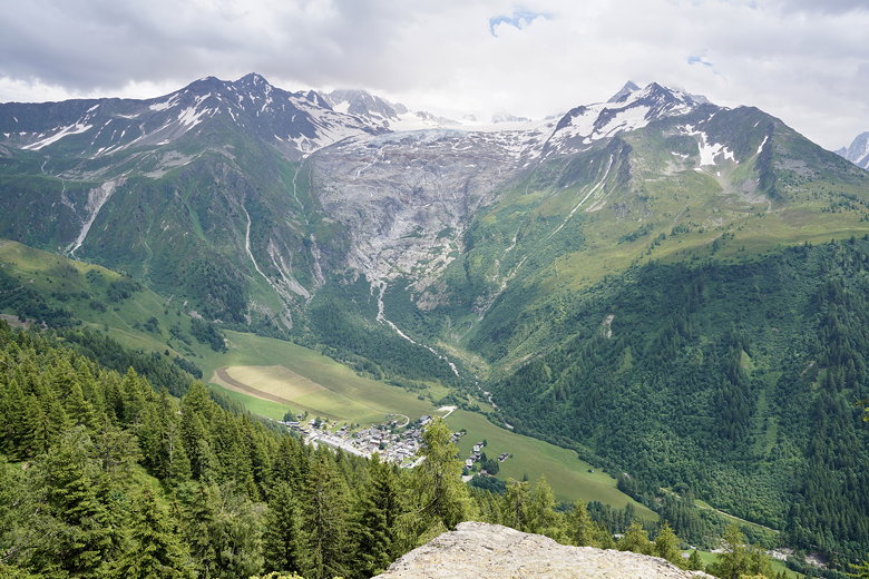
We were thinking of taking the bus from here into Argentière, but we couldn't decipher the schedule. It looked like the right bus was coming in about 10 minutes, but we couldn't tell if it was headed toward or away from Argentière. So we decided to just walk the rest of the way. Thankfully there's a nice trail next to the river.
We took the trail past Auberge La Boerne, leaving the TMB behind. We crossed a bridge in front of a beautiful cascade, past a house with an incredible view of a glacier hanging from the mountain high above. We reached the Argentière city center, then continued to our hotel, the Grand Montets.
Cascade
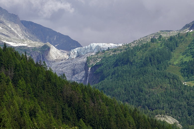
Hanging glacier

Cross in Argentière
We arrived at the hotel just before 5pm. After showering and resting, we walked back up to the city center (about 15 minutes away) to have dinner at Le Stone, which has pizza and pasta. We'd made a reservation the day before. There aren't a ton of dinner options (and some restaurants were closed on Wednesday), so reservations are recommended.
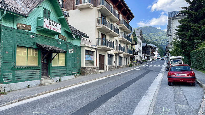
Streets of Argentière
After dinnner we walked back to the hotel, did some laundry, and prepared ourselves for day 10. Day 11 (Friday) weather wasn't looking so good, so we started to map out some possible quick exits if necessary.
| 

