|
From Seattle, it took us about an hour to get to the Snow Lake trailhead. The huge parking lot looked like it was full, as well as the overflow lot. We parked by the side of the road instead. It really wasn't that much further to walk.
We started off on the trail, which heads into the forest. We almost immediately saw some fall colors. Nothing extraordinary, but nice. The extraordinary part was the number of people we saw on the trail. This may have been the most people I've seen on the trail per mile. Well, maybe second most after Vernal Fall? I'm probably forgetting some other trails. Actually, there may have been more on other trails, but this trail is narrow in places so we had to stop a lot to let people pass (mostly in the opposite direction). Also, there were tons of dogs on the trails as well. If I had read the old guidebook I have, I would have
seen it mention that there are sometimes 500-800 people here during the summer. Ugh.
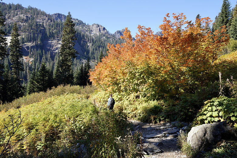
Color next to the trail
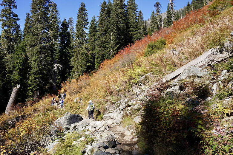
Color next to the trail
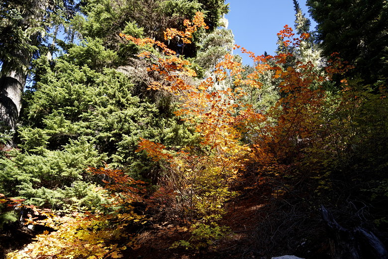
Color next to the trail

Fall leaves
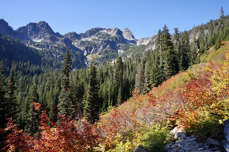
Color and mountains
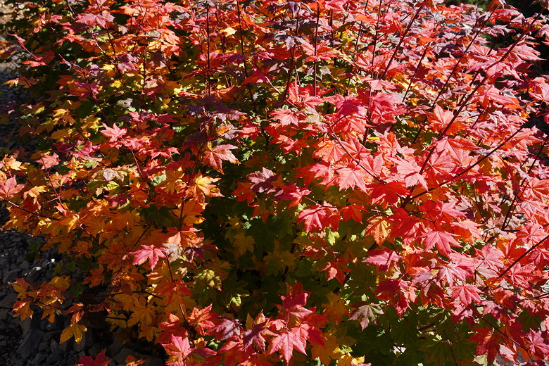
More fall leaves
After 1.7 miles we turned right to continue up toward an overlook. The overlook is on a short side trail to the left near the top. I scrambled up the rocks and joined a bunch of other people up there enjoying the view of the lake. While we were there, a couple birds came nearby. People held out food to entice the birds to come. And come they did, plucking whatever food was held out, then quickly returning to a tree. I would definitely not advocate feeding wild
animals or birds, but since they were here I took some pictures.
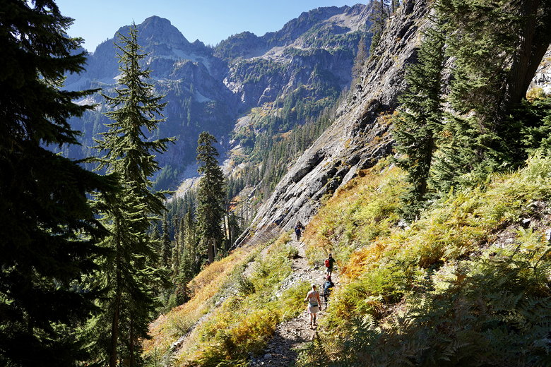
Up the switchbacks
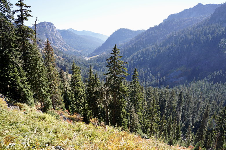
View looking back down the valley
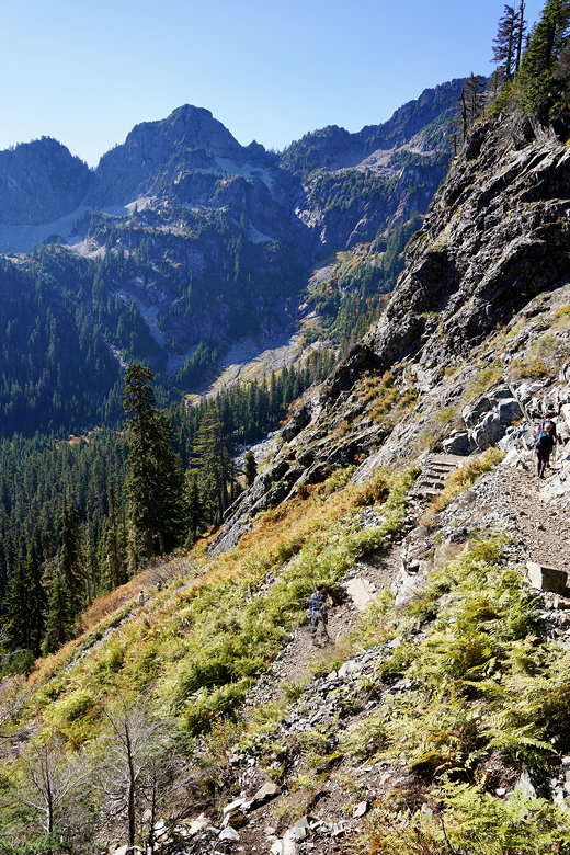
Continuing the climb
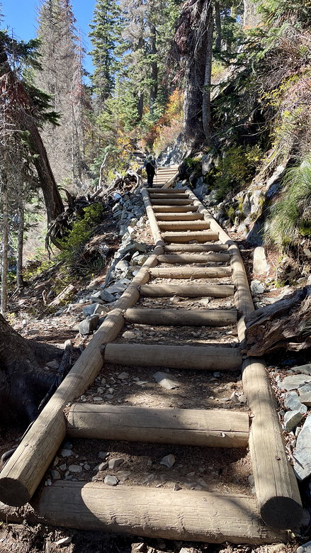
Steps leading up
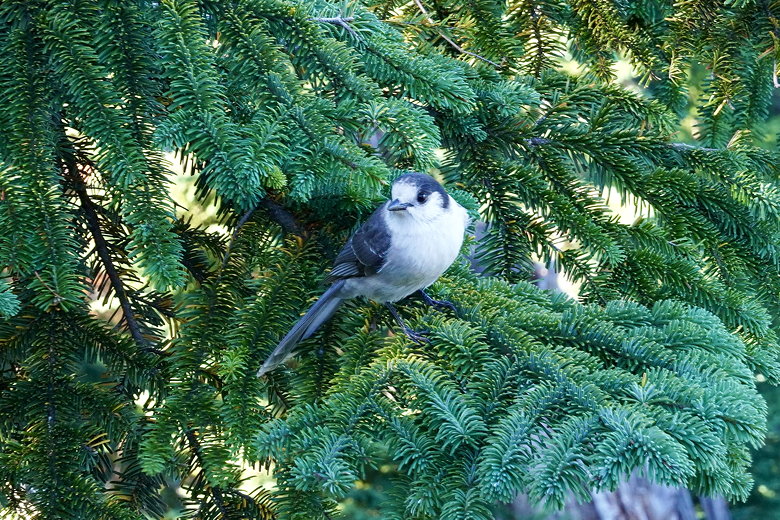
Bird in a tree
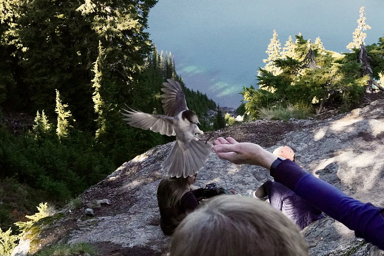
Bird swooping in for a handout
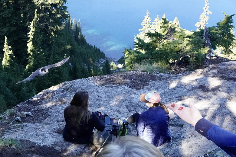
Bird coming in for more
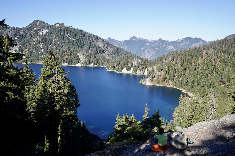
Snow Lake from the overlook
After a break here, we returned to the main trail and started the descent to the lake. Along the way we were met with more views of the lake. We soon reached an intersection, with the left fork heading to the lake shore. But it sounded like a ton of people were there, so we stayed on the main trail for a bit longer before stopping at a rocky overlook. We scrambled down to a sheltered day use area (the sign said so) with a nice view of the lake and settled down for lunch.
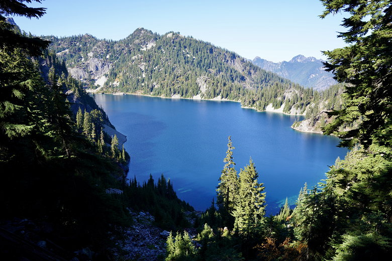
Snow Lake
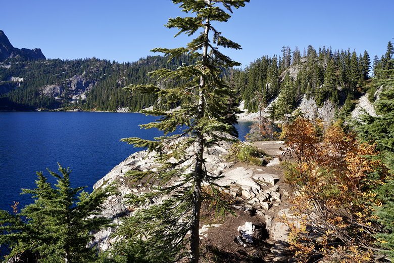
Snow Lake
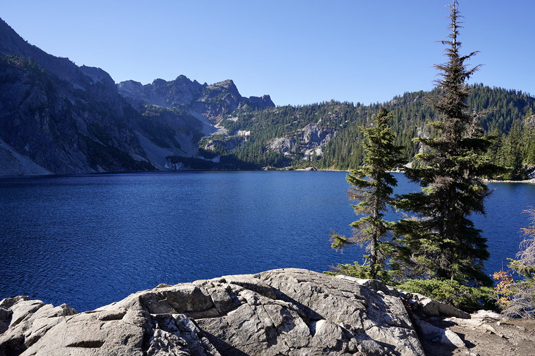
Snow Lake
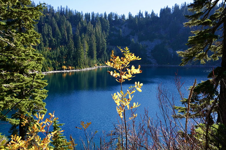
Snow Lake
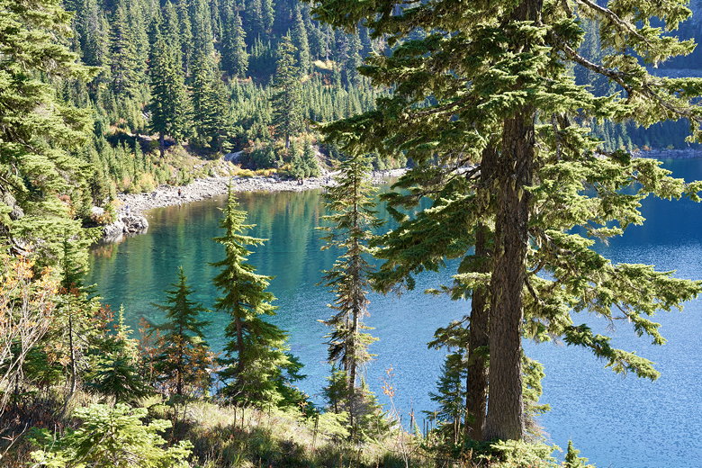
Snow Lake shore
The main trail continues on past the lake to Gem Lake, but it was already around 3pm so we turned around here. Back at the intersection I took the lake access trail and took some pictures there. Unlike our lunch spot, the trail here goes all the way to the water, a rocky beach. There were at least 25 or so people here. One guy was in the water with some sort of floatation device, possibly the source of that buzzing sound I'd heard earlier which I thought was a drone (but drones are illegal here).
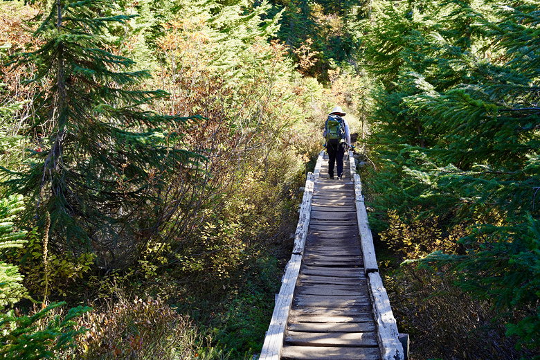
Foot bridge
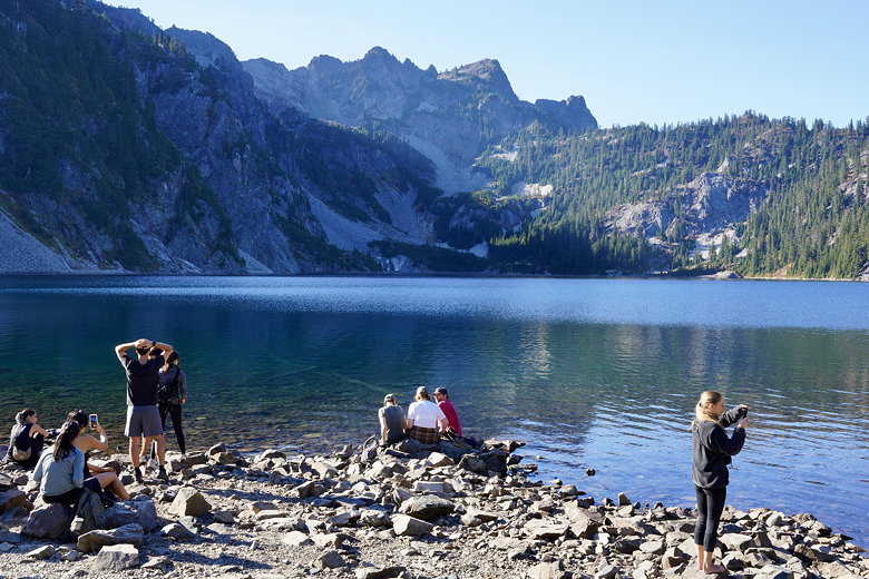
Snow Lake shore
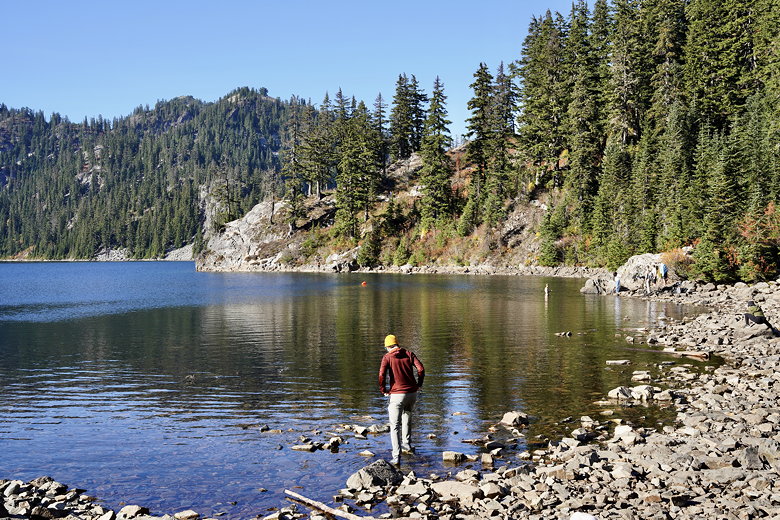
Snow Lake shore
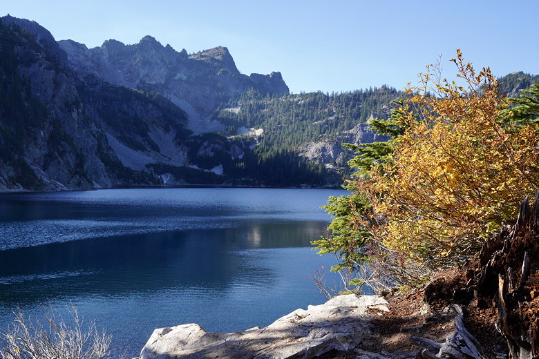
Snow Lake
After taking some pictures I returned to the main trail and we started the climb back up. The return trip was pretty fast. I thought we wouldn't see anyone coming toward us this late in the day. There weren't nearly as many people now, but we still encountered incoming hikers all the way until 4:30pm.
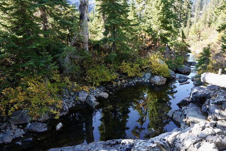
Reflections in the inlet stream
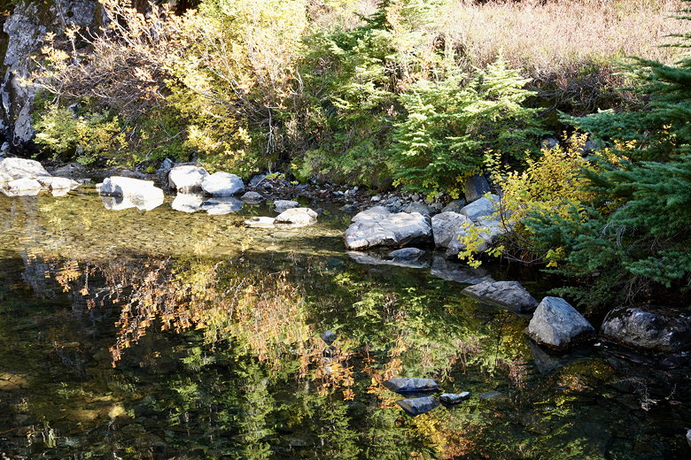
Reflections in the inlet stream
By the time we finished the hike a bit after 5pm, the lot was nowhere near full, but it was nowhere near empty, either.
The drive back to Seattle was a bit longer than the drive out. Maybe 10-15 minutes longer.
| 


