|
From Seattle, it took us a little over an hour to get to the trailhead. I'd heard the lot could fill, and there's no street parking unlike at Snow Lake. But we took our chances. I figured we could always circle the lot and wait if needed. We didn't have to, as there were two spaces left when we arrived around
11am on an October Saturday (the lot fits about 100 cars). Still, considering the huge lots at Snow Lake yesterday, I expected to see far fewer people on the trail today. And that would be the case.
We could hear electricity humming on the overhead lines above the parking lot as we prepared. The trail starts out flat, mostly straight, on a wide gravel road underneath some transmission towers. Thankfully, after about a quarter mile, the trail enters the forest and onto some actual dirt. We veered right to take the Woody Trail (the trail to the left is the Old Railroad Grade, which could be used as a longer route to the falls).
The trail follows the river through a mossy forest. The forest reminded me of the Hoh rainforest. The trail starts climbing, with a viewpoint at the lower falls. There's a picnic area here. We just stopped for some photos before continuing on.
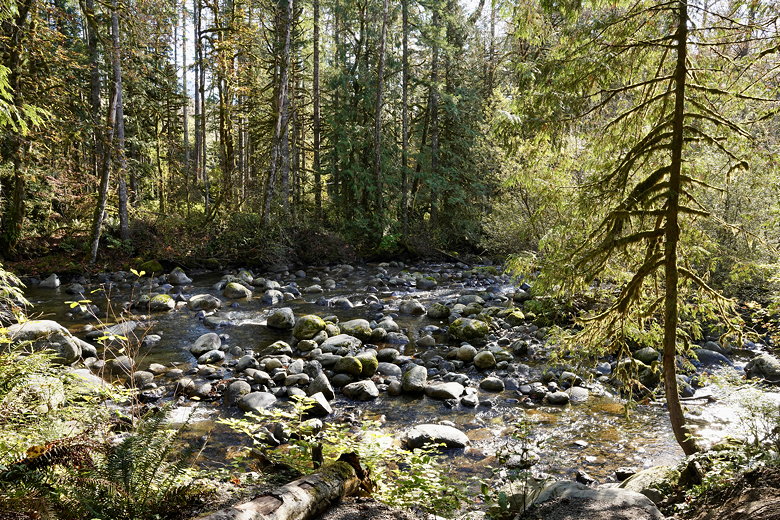
Wallace River
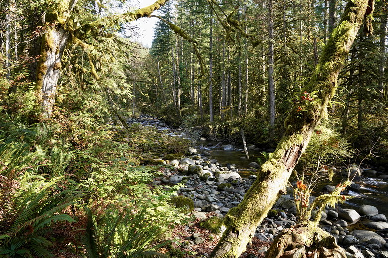
Wallace River
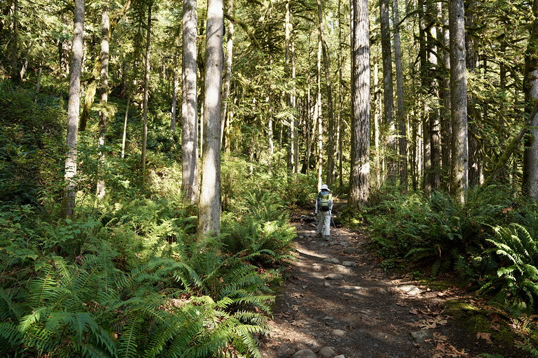
Woody Trail
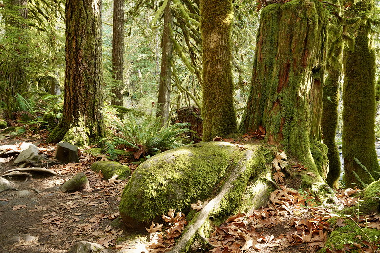
Mossy trees along the Woody Trail
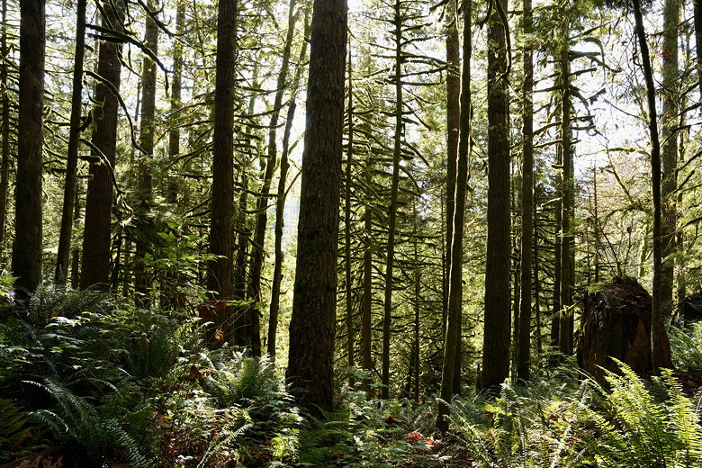
Trees next to the Woody Trail
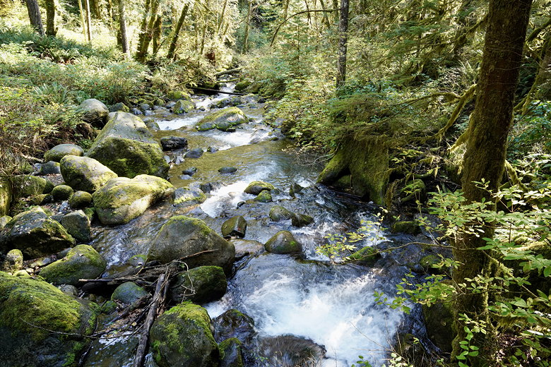
Stream near one of the foot bridges
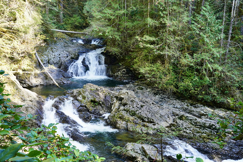
Wallace River
There's another viewpoint at the middle falls, where we stopped for more photos. The falls are much taller here.
At some point there's a valley vewpoint, but there's not much to see. There are views of the valley, but it's not that impressive.
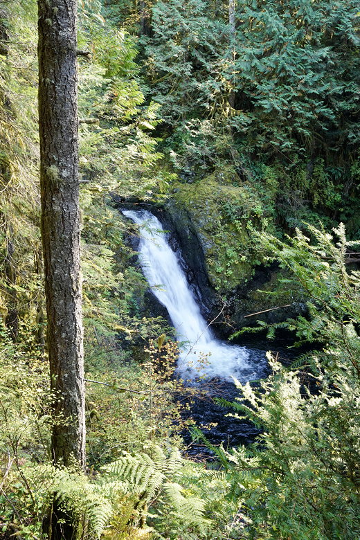
Wallace Falls
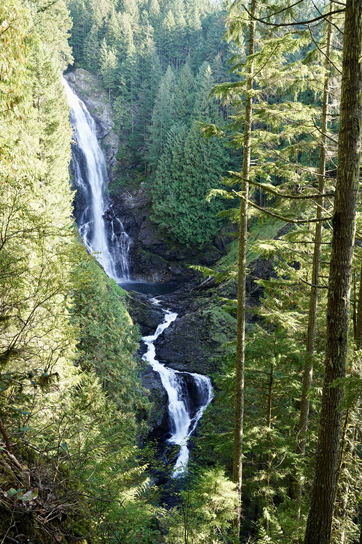
Wallace Falls
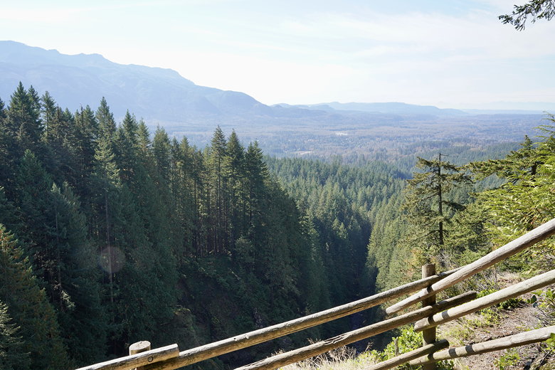
Valley overlook
We made it to the upper falls viewpoint, where there were several groups of hikers stopped. We settled down for lunch here in the forest. As we ate, everyone else turned around and headed back. After lunch we were the only ones we could tell actually continued up the trail.
There's a sign here that explains the rest of the route up to the lake means exiting the park and is less maintained. The trail is perfectly fine, though. We followed the gray diamond markers up the the road, where we turned left. The road is a wide logging road, and in fact there are warning signs that it is actively logged. However, today was a Sunday, so there was no logging today.
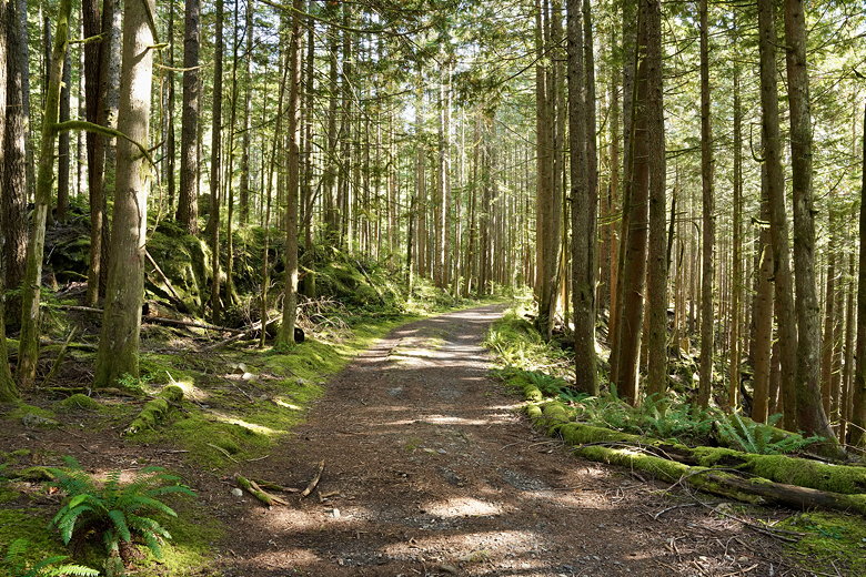
The road
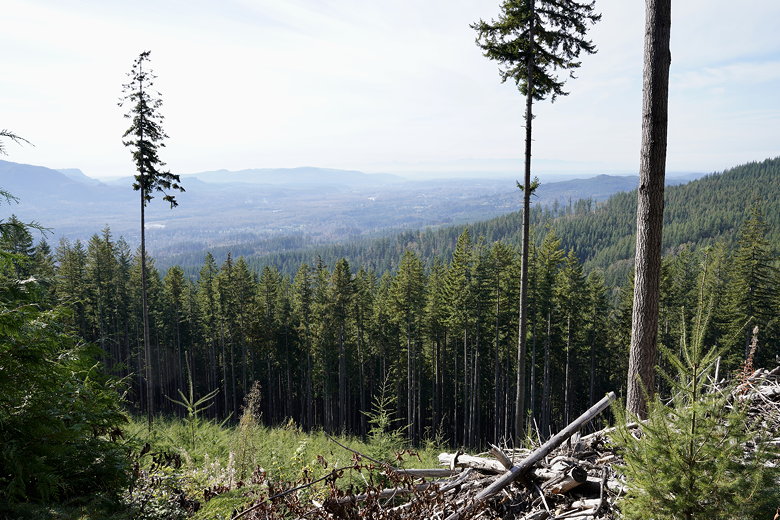
View from the road
Walking on the gravel and dirt road is a bit weird since there's mostly thick forest on the right and open space and logged forest and views to the left. This part isn't great, but there are views. And it's basically flat so you can get through this section quickly, also, you might be the only hiker on the trail.

Further along the road
We followed the road, then turned off the road when signs told us to. Shortly after that, the trail re-enters the forest, and a pretty forest at that. It's not the mossy forest of before, but it's pleasant. All of this section is flat as well. It's pretty much flat all the way to the lake. When we approached the lake, we turned right toward the backcountry camp area. Soon we turned left and reached the lake shore. It was a pretty lake we had to ourselves. On the way back to the backcountry camp we saw lots of mushrooms next to the trail.
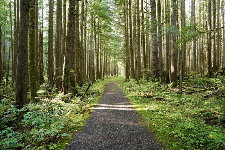
Trail toward the lake
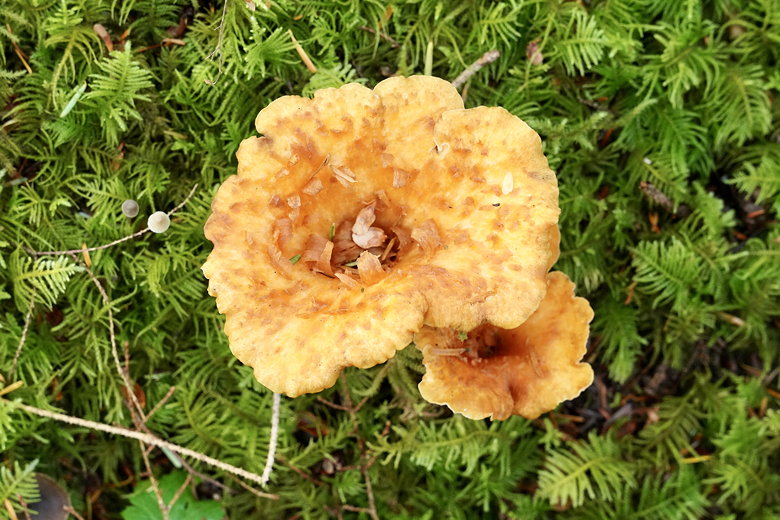
Mushrooms
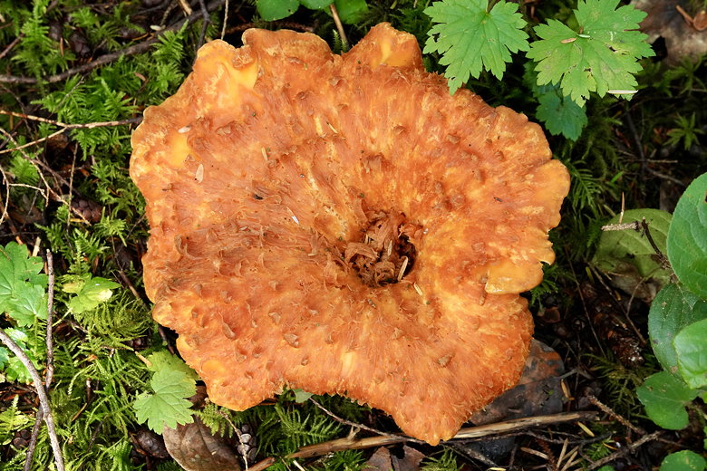
Mushroom
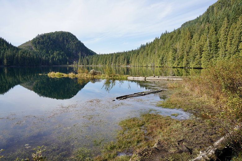
Wallace Lake
Returning to the main trail, we crossed a bridge over the outlet stream and stopped at a picnic table for a brief snack. While we were there a hiker passed us. She was the only other hiker we saw on the way to and from the lake.
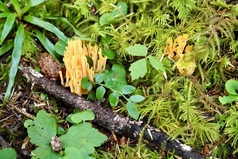
Mushrooms
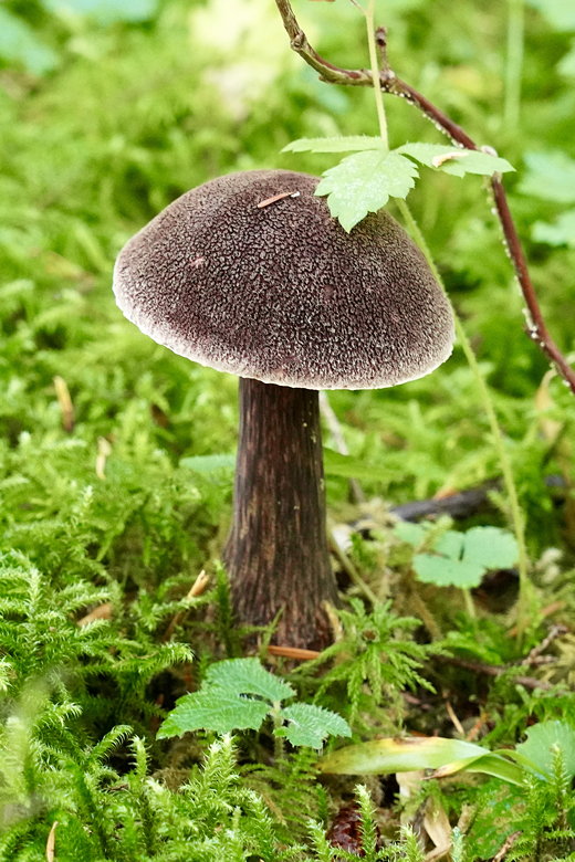
Mushroom
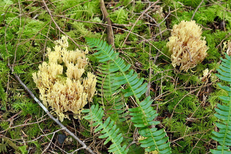
Mushrooms
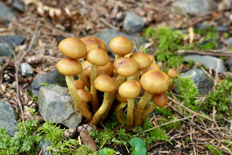
Mushrooms

This looks like burnt wood, but...they're mushrooms
We left the lake behind, continuing on a different road, then eventually turning left onto the Greg Ball trail into the forest again. The trail starts descending, somewhat steeply at times, but not that steep. We zigged and zagged downhill, eventually reaching a bathroom and then the Old Railroad Grade (a wide dirt road). We turned left onto the cutoff trail (a sign said it reduced the distance by a mile I think, as opposed to continuing on the Old Railroad Grade).

Mushrooms
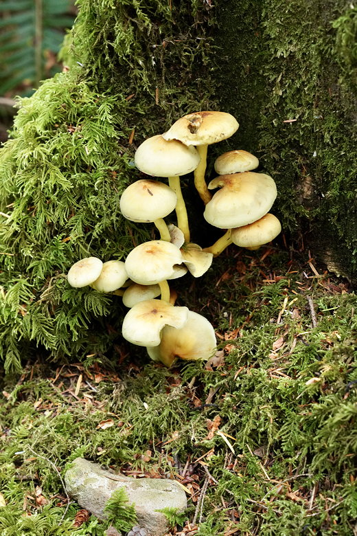
Mushrooms
Soon we returned to the trail next to the creek and followed it back to the trailhead. By this time, most people were gone and we only saw a handful of people on the way back.

Wallace River
The 100-car lot only had about 20 cars left. I wish I could end the story on this note, but I have to mention that the drive back to Seattle took over 2 hours. Traffic on highway 2 was most of the issue. I didn't see any accident or anything else that might have been the cause of the slowdown. I wonder if it's just always this bad on a Sunday evening, due to increased cars and the fact that there are stoplights on the 2-lane highway when it runs through towns.
Here are some videos I took of the hike: Wallace Falls Hike Video.
| 


