|
Jean and I parked at crowded Boreal ski area. It was a warm sunny
Saturday just before the start of spring, and everyone was taking
advantage of it. But while the hordes of people around us were
hitting the ski slopes, we'd be hiking into the mountains on the
opposite side of the freeway, being rewarded with some peace and
quiet.
The Castle Peak area on the other side of the freeway was much
different than when we'd visited a couple months earlier. Snow
was piled up on the roadway, such that we had to put on our snowshoes
right away. Driving to the gate was no longer an option, even
for someone with an SUV. In fact, the gate was not even visible,
now being covered by most likely 10-15 feet of snow.
Our route quickly detoured from our hike to Castle Peak. This
time, we took the fork off to the left, which is the route snowmobiles
take. Fortunately, we didn't see any as we started the hike, just
after noon. Instead, we had a pleasant climb through the forest,
tromping along snow the consistency of a slurpee. It probably
hadn't snowed much in 2 weeks, so it wasn't powdery. Instead,
it was, well, slushy. The lack of recent snowfall also meant that
the treetops were mostly devoid of snow, save for the occasional
snow blob gamely hanging onto a reluctant host tree.
We made our way around the peak known as point 7605 on the topographic
map, and another peak just west of it. Our goal was to follow
the snowmobile trail south of the two peaks, then northwest, then
cut off the beaten path north onto Andesite Ridge. We reached
the point where we had to start cutting off the main path, but
we stopped for a lunch break first. We had a great spot in an
open forest and no one else in sight. There were snowmobile and
snowshoe prints, but no people.
At first I feared we'd gone too far around and would have to go
over this small ridge, down, and then back up to a further ridge.
I could see the peak off in the distance. It wasn't until we reached
the top of the small ridge that I realized we were standing on
Andesite Ridge already, and the peak I was looking at was, in
fact, Castle Peak, which we'd climbed a couple months earlier.
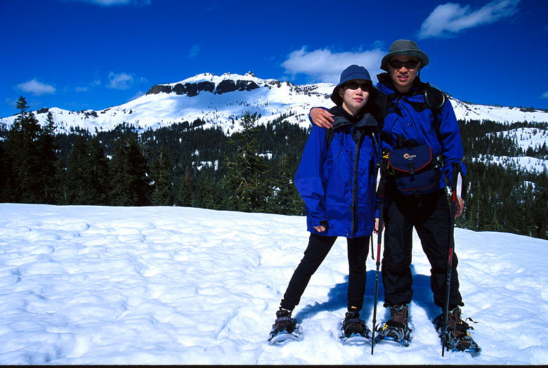
Castle Peak
Heartened that we'd already made good progress, we turned left
and followed snowshoe prints through a peaceful dense forest. Our
path leveled off now, even descending for a very short bit before
starting a relentless climb. Looking at the topographic map now,
I can see that we actually turned onto Andesite Ridge a little
earlier than we should have. If we'd waited a little longer and
gone further northwest on the snowmobile trail, we wouldn't have
had to climb the extra 40 feet. Oh well. If we had, we wouldn't
have enjoyed the nice forest we ended up hiking through.
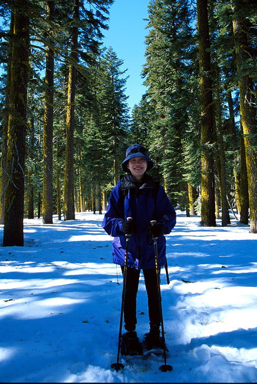
Jean in the forest
The climb gets really steep in places, almost forcing us to kick
in steps in places to avoid slipping back. It's nothing steep
enough to be dangerous, however. It is a beautiful climb, as well.
We hiked up past a beautiful wind-swept bowl, the snow carved in
great flowing patterns like a tapestry. A snowboarder's delight.
The hike levels off at this point and we were making our way through
dense forest when it happened. I was walking along, minding my
own business, when the earth opened up and swallowed my right
leg whole. I must have hit an air pocket or some sort of soft
spot. Whatever the reason, the snow just disintegrated underneath
my right foot and it kept on falling until I was in waist deep.
The force of my fall had caused me to jam my right trekking pole
in the snow, and I couldn't get it out.
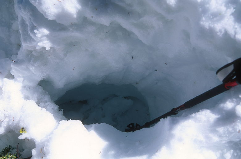
The huge hole I created in the snow
My left leg and left trekking pole were still on solid ground,
and Jean, still incredulous at what had happened to me, helped
me up. We spent the next few minutes digging through snow before
we were finally able to free my trekking pole. From then on, we
tried to be cautious about where we stepped, though it's impossible
to tell what lurks underneath the surface.
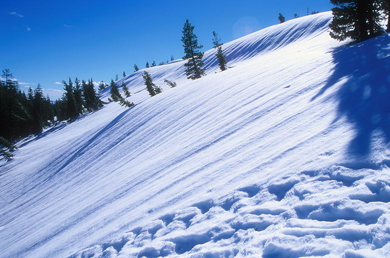
A beautiful wind-swept snow slope
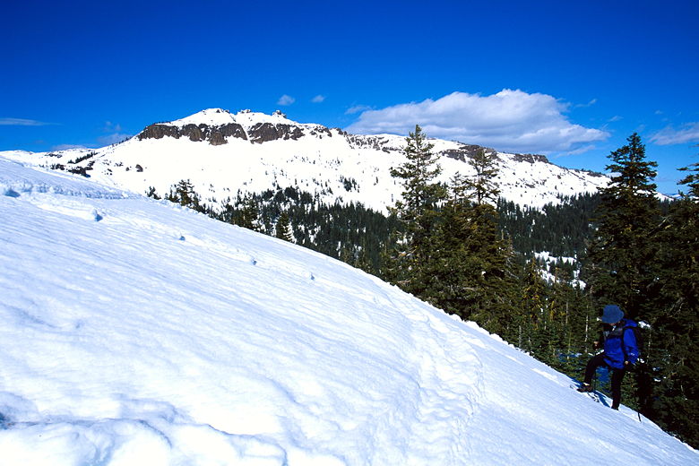
After another steep section we could see Castle Peak again, but
not yet Andesite Peak. We'd have to climb a series of false summits
before we got there. Along the way, we passed a pure snow slope
topped off with a cornice. I was hoping to get a picture of it
with the sun shining on the edge of the cornice, but the lighting
conditions weren't favorable.
Jean making her way up a steep slope near the top
The last hundred yards or so was mostly devoid of trees. In contrast
to Castle Peak's jagged top, Andesite's top was completely smooth.
Or, rather, the snow on top was completely smooth. =) (truth be
told, Castle Peak's top still looked completely jagged, even now)
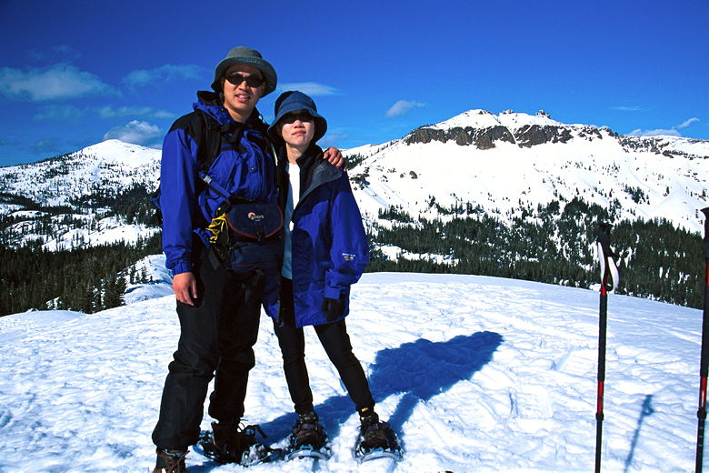
On top of Andesite Peak (Castle Peak behind)
The view from the top of Andesite Peak, elevation 8219, is beautiful,
almost as good as Castle Peak. Visible, of course, is Castle Peak
and the ridge leading down to Castle Pass and back up to Andesite
Peak. To the south Boreal's runs were clearly visible. In all
directions lie snow-capped peaks. The price for those unobstructed
views is a chilling wind, so after soaking in the views we descended
a hundred feet and rested there.
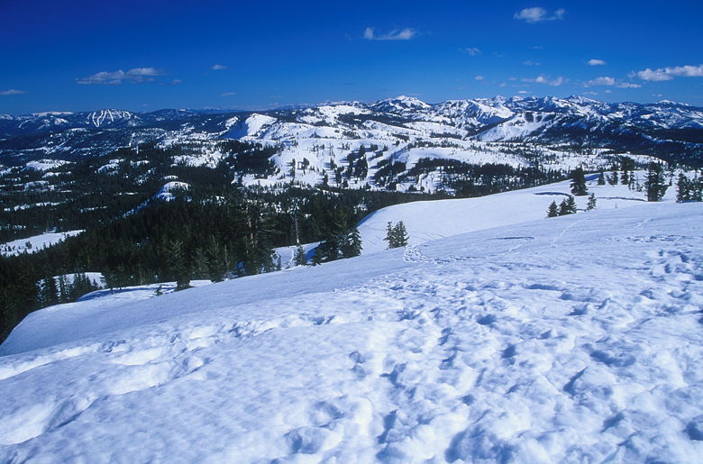
View looking northwest from the top
At this point we ran into the first people we'd seen on the trail
all day. Four or five hikers descended from Andesite Peak. Most
likely they'd come up via Castle Pass. Some where carrying ice
axes and some were carrying skis. It was nearly 4pm, so perhaps
they'd already climbed Castle Peak that day, too.
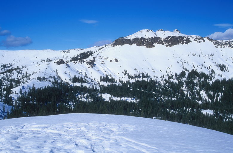
View of Castle Peak from Andesite Peak
We could still hear the wind, but we could also hear was sounded
like birds. We couldn't figure out where they were coming from
until we spotted a flock of seagulls flying in formation high
overhead. When we eventually returned to the Boreal parking area,
we'd see them picking over the parking lot.
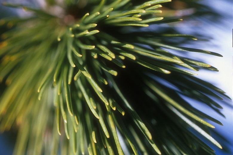
Pine needles (me having fun with the macro lens)
We retraced our steps, descending exactly the way we'd come up.
When we returned to our lunch spot, we were blasted with the sound
of a solo snowmobiler. The smell of gasoline filled our noses,
even minutes after he left.
We made it back to the Castle Peak parking area just as a group
of backpackers was heading out, probably going toward Peter Grubb
Hut.
| 

