|
The hike starts at the north end of Ozette Lake. It looks like
a great place to car-camp, and many people were doing just that.
As we started the hike, the sounds of an outdoor concert filled
the air.
The trail immediately enters a lush green forest. Trees and ferns
abound. The trail soon forks off -- to the right for Cape Alava
and to the left for Sand Point. The two trails can be used as
part of a triangle loop covering 9 miles, and it was our intent
to do just that. Unfortunately, because the drive had taken longer
than anticipated, it wasn't clear we would have time. We decided
we would hike out to Cape Alava and then decide there.
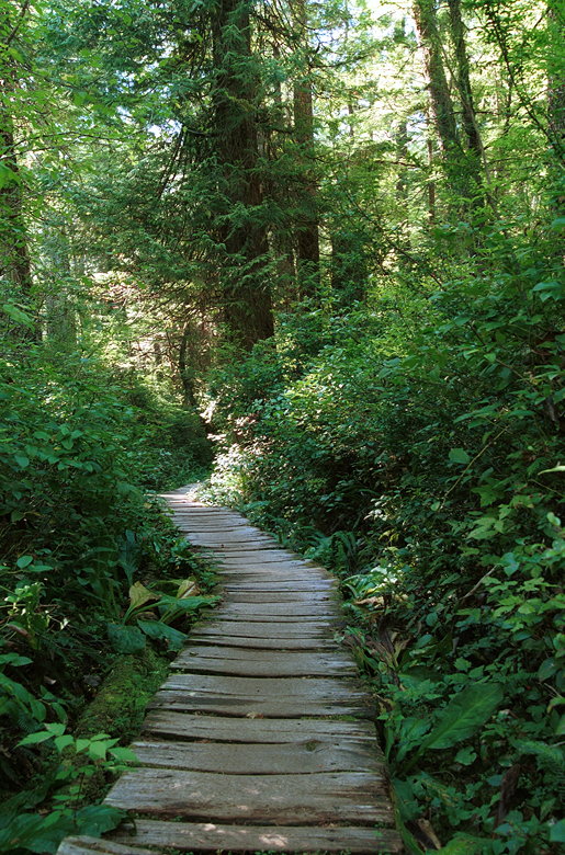
Most of the trail consists of walking on a cedar boardwalk. No
use for trekking poles here. Despite the intrusion of the planks
(which are probably necessary because the ground is so moist),
the trail is beautiful. It was almost completely shaded. We met
many groups who were returning from Cape Alava -- either from
an out-and-back or part of the loop. One older gentleman returning
via the Cape Alava trail said that the trail is Mt. Everest compared
to the completely flat Sand Point trail. Which seemed odd to me,
since the Cape Alava trail seemed pretty flat, anyway. There were
a few ups and downs, but it is generally flat.

Cedar planks forming the Cape Alava trail
A little more than halfway thru the trail lies Ahlstroms Prairie.
After hiking in the forest, we were exposed to the bright sun
for a few minutes. There's not much to see in the prairie. Soon
we were engulfed by the forest again. And when we reached the
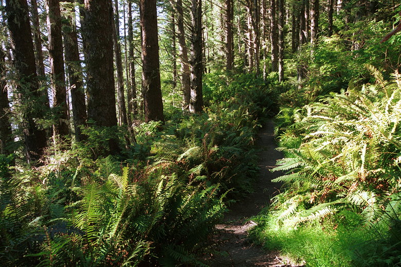
edge of the trail, it grew even more lush with beautiful ferns.
And then, through the trees, we could see the Pacific Ocean shining
under a late afternoon sun.

Ferns on the trail near the ocean
There were dozens of people camping here on Cape Alava, the westernmost
point in the United States outside of Alaska and Hawaii. It would
make for a beautiful backpacking trip and a great sunset on the
beach. Maybe next time. After enjoying the beach we decided that
we didn't have enough time to do the entire loop. Instead of hiking
along the beach to Sand Point, we retraced our steps and returned
via the Cape Alava trail.

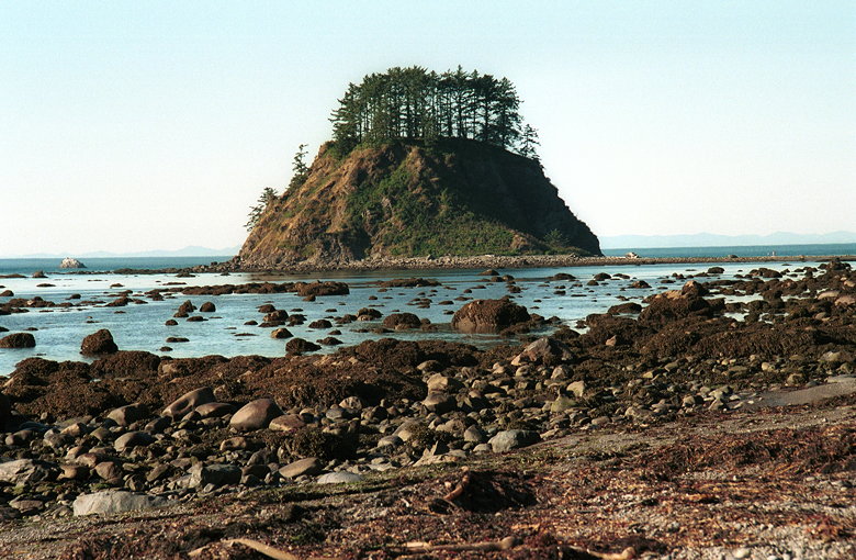
Small island (reachable by land bridge) off the coast

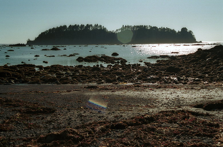
Bigger island off the coast of Cape Alava
In the growing darkness we didn't stop much as we hiked back toward
our car. The interesting thing is that we ran into people coming
the opposite direction. They were all backpackers hoping, I'm
guessing, to reach the beach before sunset. One couple weren't
even backpacking, really -- they were just carrying a small cooler
and sleeping bags by hand. That didn't look very comfortable.
When we heard the music of the outdoor concert again, we knew
we were close. And then we were done, wishing we'd camped on the
beach or made arrangements to stay at Ozette Lake.
Return to Seattle/Olympic/Rainier trip report.
| 


